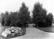
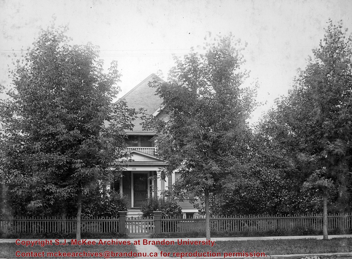
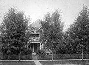
West End Park, which was established in 1894, was renamed Stanley Park in 1907, in honour of Stanley McInnis, a local dentist and legislator. The city acquired the block of land from the Canadian Pacific Railway Company in 1894 for the price of one dollar, on the condition that it be set aside for public use. The park occupies the block between 14th and 15th Streets and Princess and Lorne Avenues.
Custodial History
See fonds level description of the Alf Fowler collection for custodial history.
Scope and Content
Photos shows Stanley Park.
Notes
History/Bio information was taken from the Assiniboine Historical Society's Brandon: A Residential Walking Tour pamphlet (1993).
Storage Range
RG 5 Western Manitoba Manuscript collection - photograph storage drawer
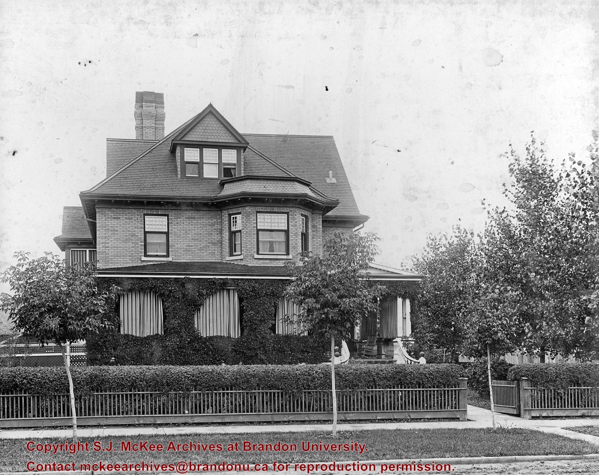
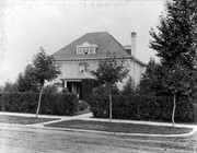
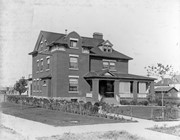
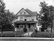
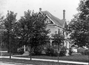
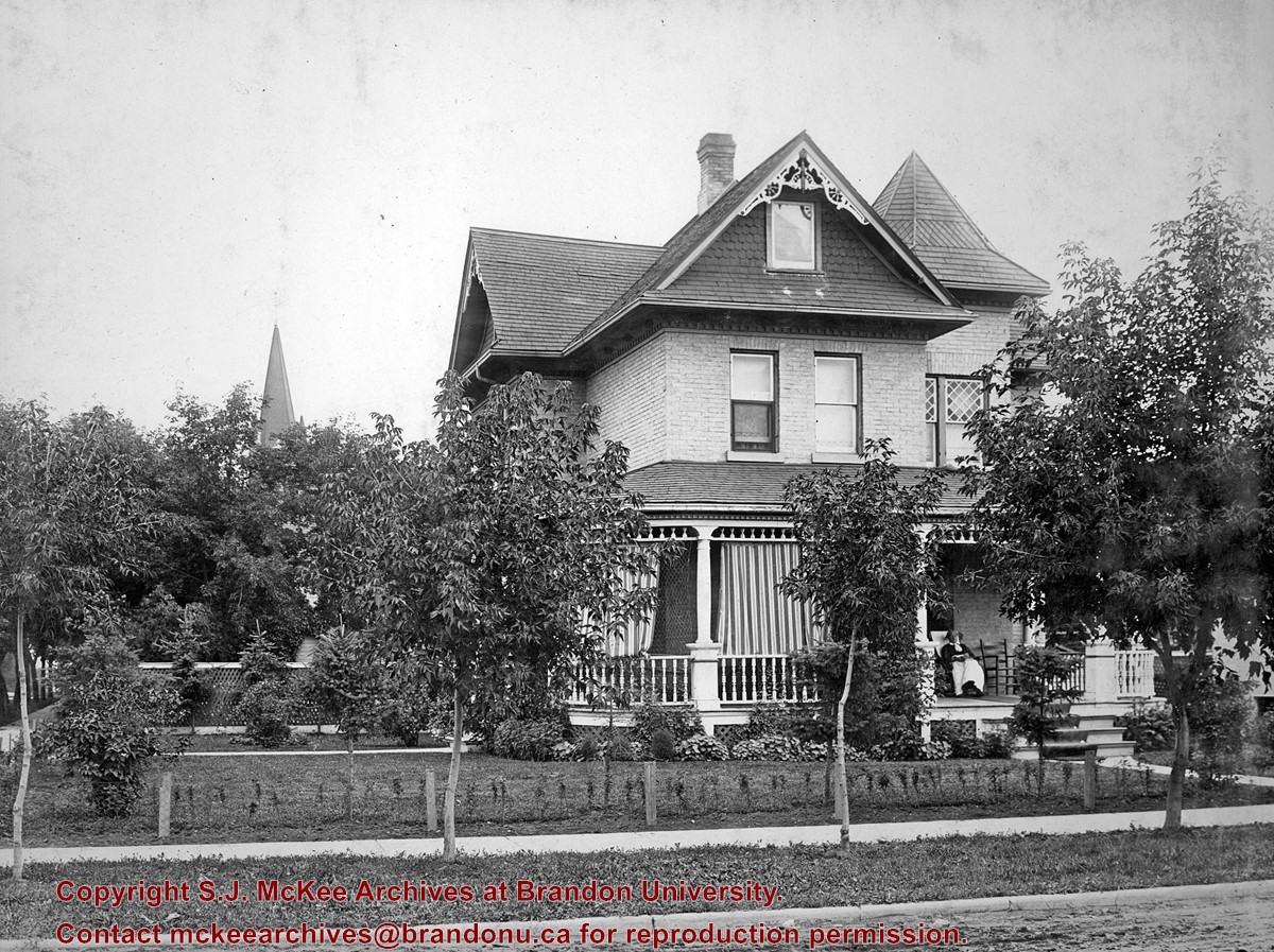
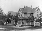
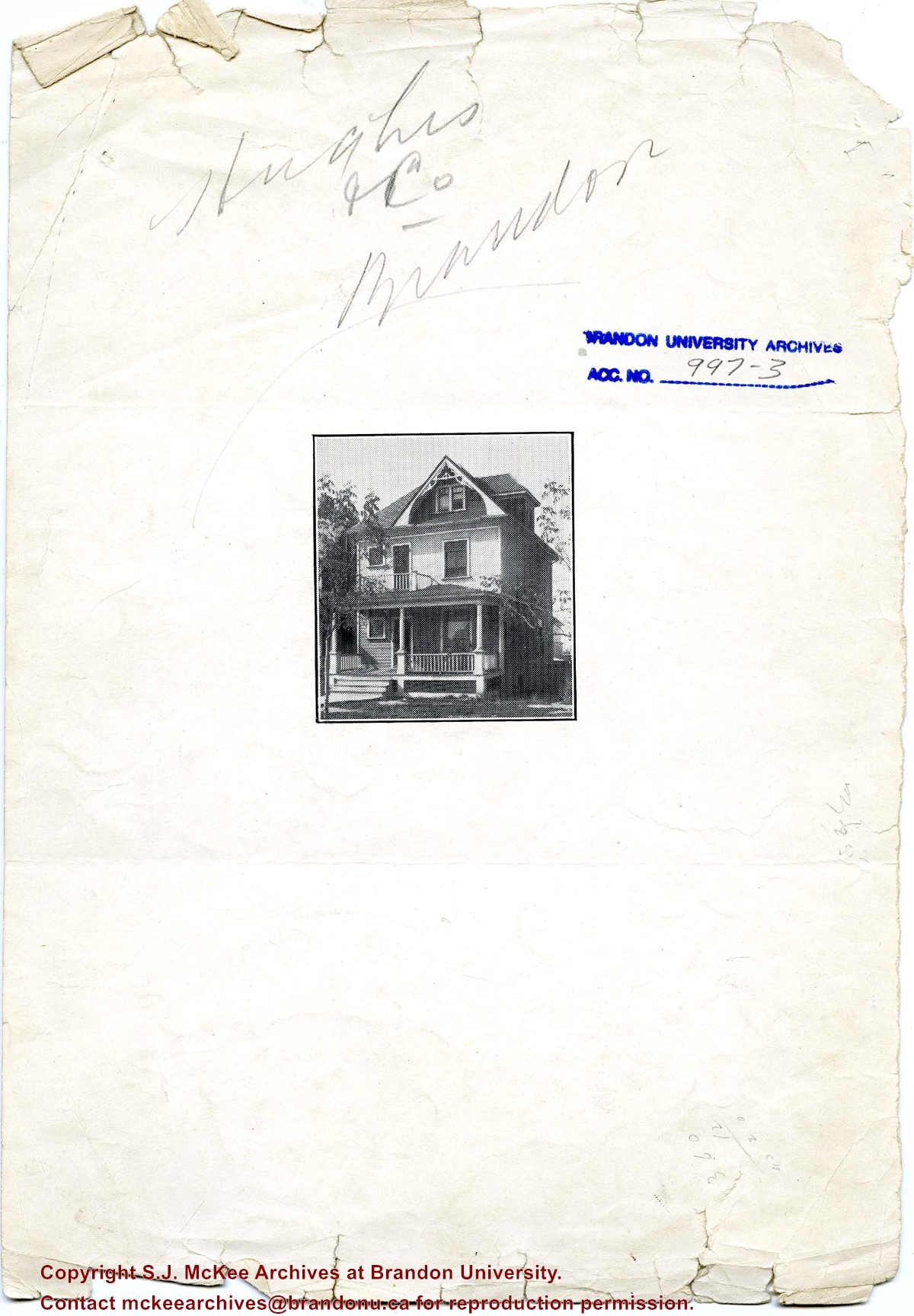
Designed by W.A. Elliott, this house was built in 1905 for the Christie family. Ernest (E.L.) Christie was a stationer and founder of Christie's School Supplies, now Christie's Office Plus. It has been designated a heritage property by the City of Brandon.
Custodial History
See fonds level description of the Alf Fowler collection for custodial history.
Scope and Content
Photo shows a Brandon residence located at 404 13th Street.
Notes
History/Bio information taken from the Assiniboine Historical Society's Brandon: A Residential Walking Tour pamphlet (1993).
Storage Range
RG 5 Western Manitoba Manuscript collection - photograph storage drawer
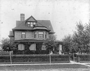
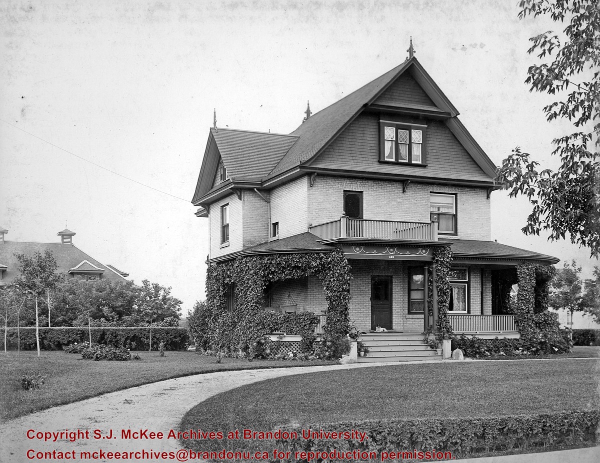
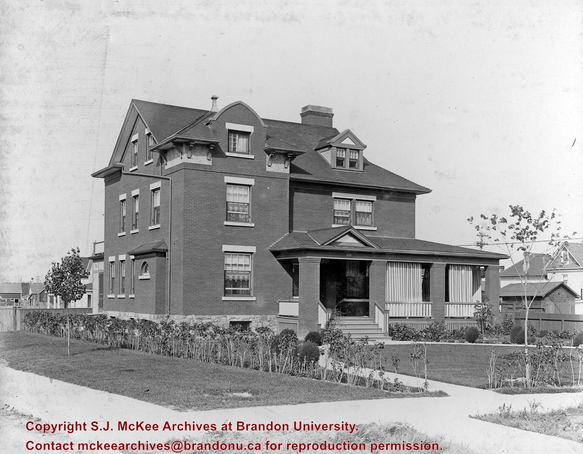
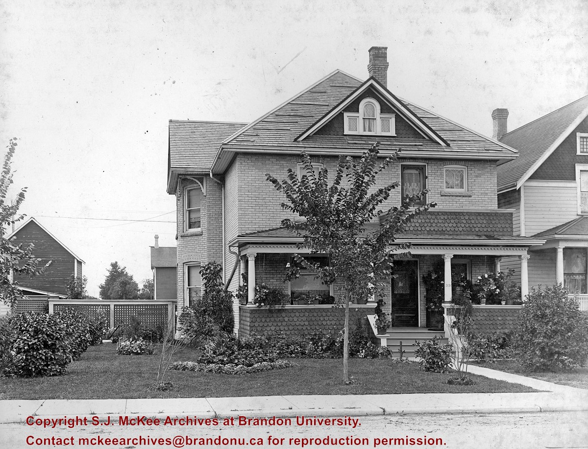
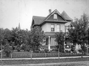
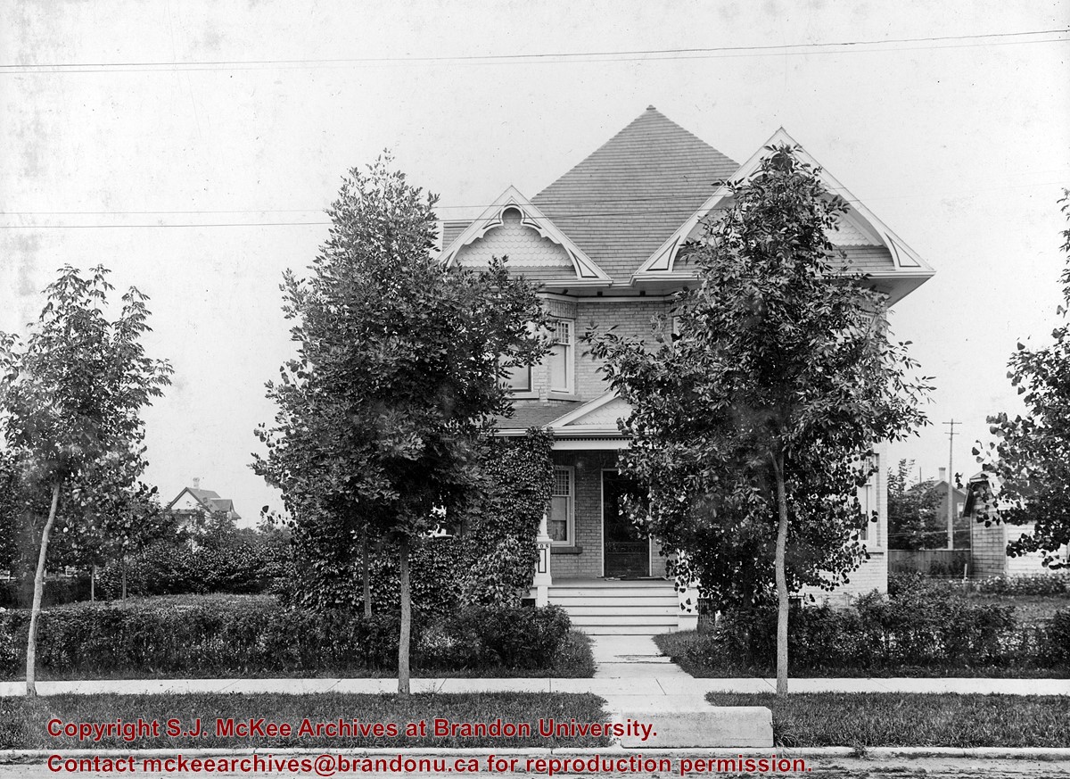
This house was built in 1910, for W.D. Clement, the son of Brandon's first sheriff and a local pharmacist. In 1919, it served as Clark Hall Annex for Brandon College students. It was subdivided during the 1930s.
Custodial History
See fonds level description of the Alf Fowler collection for custodial history.
Scope and Content
Photo shows a Brandon residence located at 1335 Lorne Avenue.
Notes
History/Bio information taken from the Assiniboine Historical Society's Brandon: A Residential Walking Tour pamphlet (1993).
Storage Range
RG 5 Western Manitoba Manuscript collection - photograph storage drawer
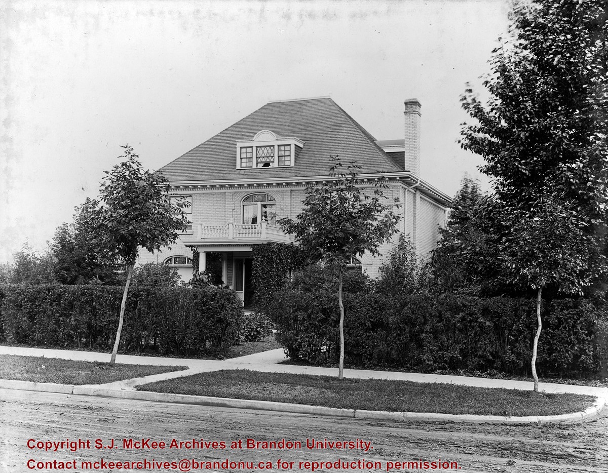
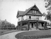
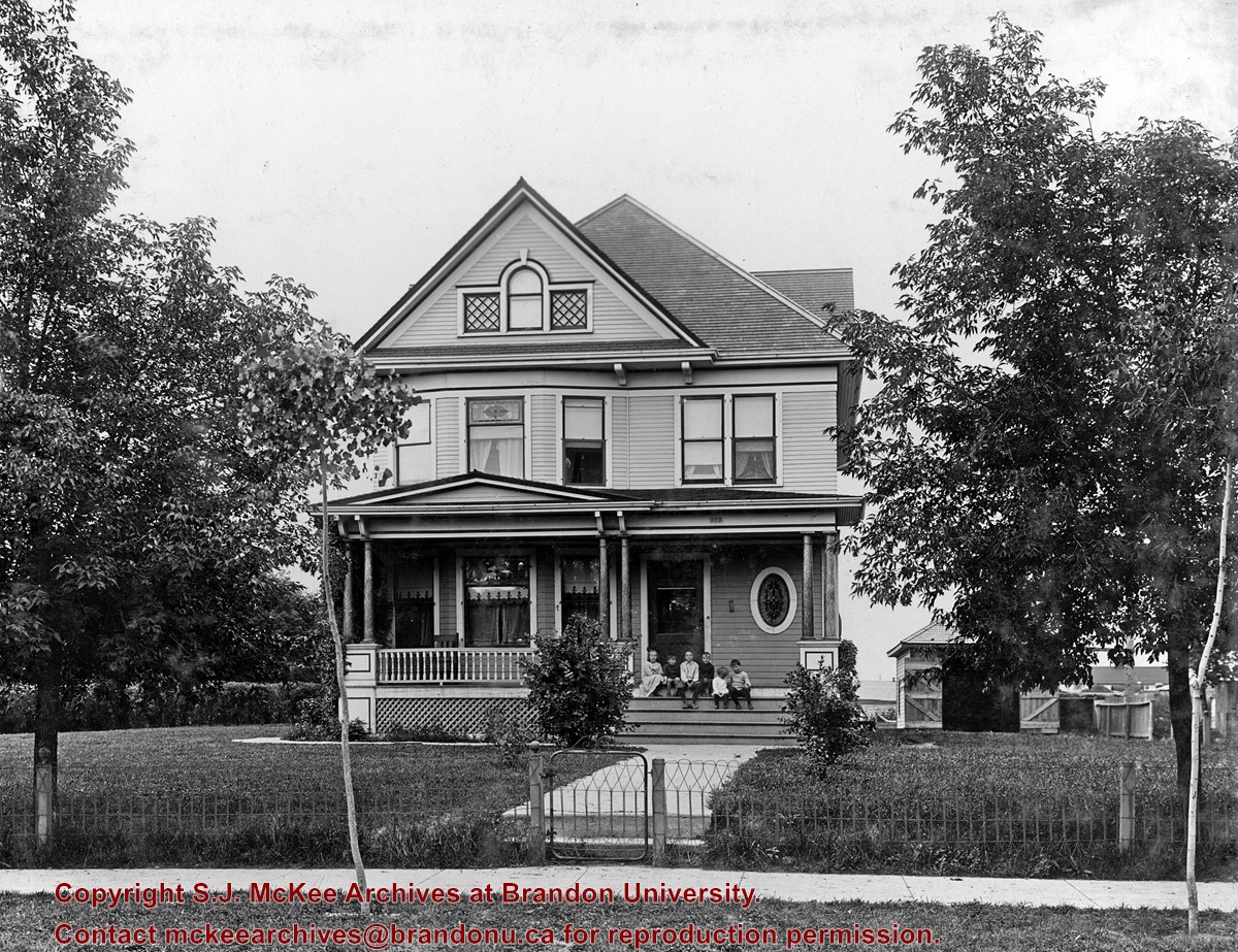
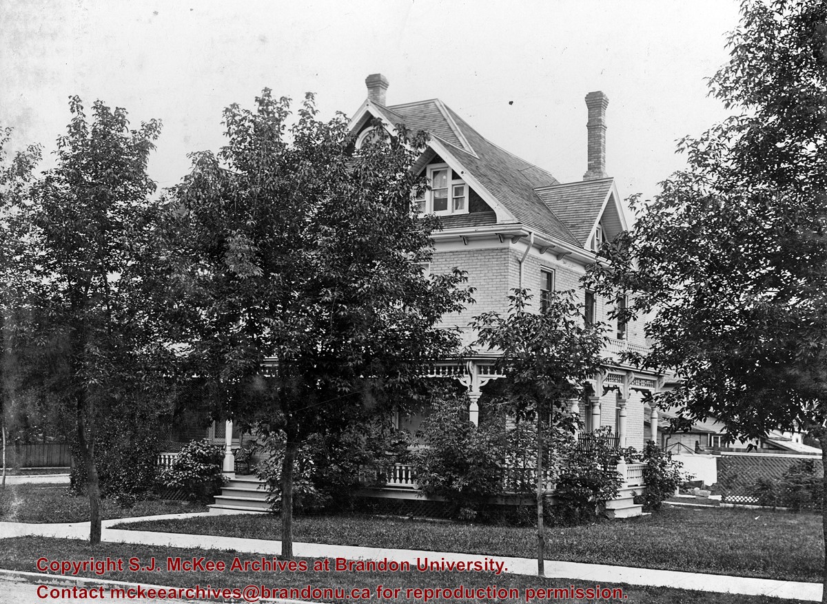
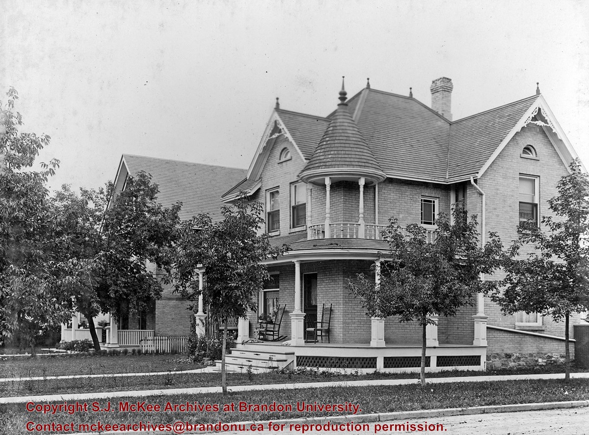
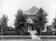
This house was built in 1907. It was constructed for the Bank of Montreal as the residence of the local bank manager, W.G.A. Watson, and was used for that purpose until the 1960s.
Custodial History
See fonds level description of the Alf Fowler collection for custodial history.
Scope and Content
Photo shows a Brandon residence located at 1335 Victoria Avenue.
Notes
History/Bio information taken from the Assiniboine Historical Society's Brandon: A Residential Walking Tour pamphlet (1993).
Storage Range
RG 5 Western Manitoba Manuscript collection - photograph storage drawer
Photograph shows a sketch of the intersection at 10th Street and Princess Avenue, Brandon, Manitoba facing northeast. A proposed two-storey bowling alley is situated on the northeast corner of 10th Street and Princess Avenue.
Paper clip marks stain the top and bottom right corners
History / Biographical
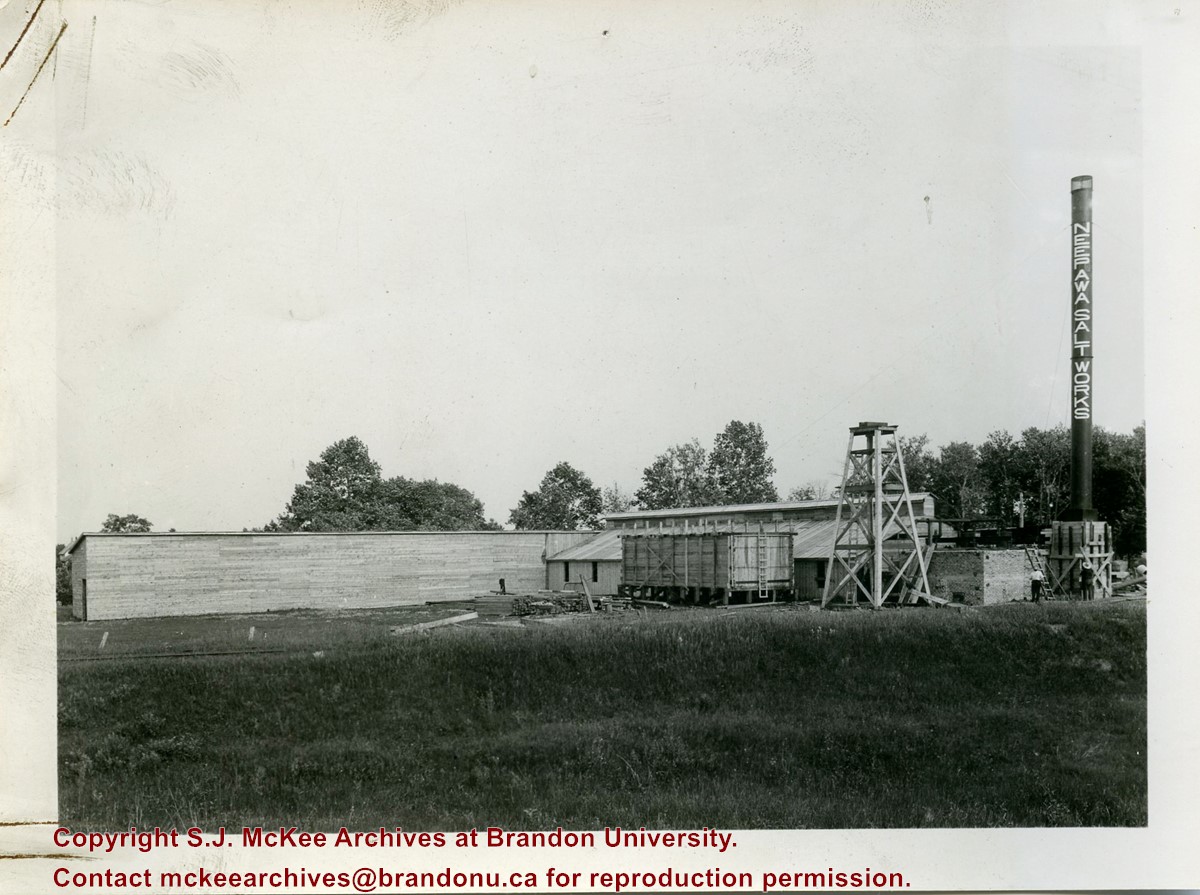
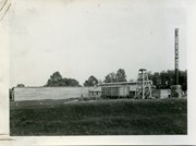
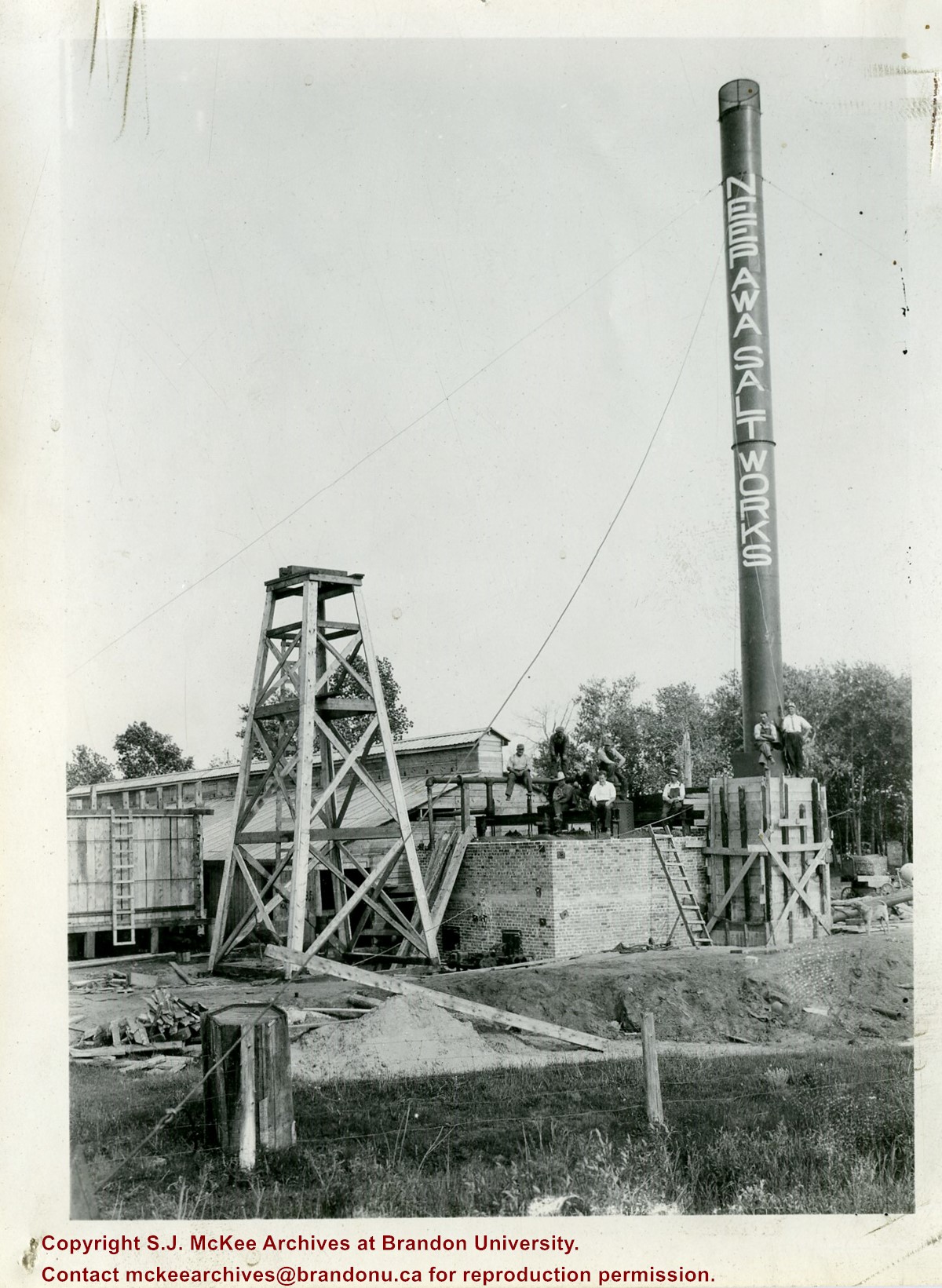
In 1932, the Neepawa Salt Company began producing salt from saline pools in the Neepawa area. According to Virgina Petch (2006), brine was pumped from two drilled wells and salt was extracted via vacuum pan evaporation process. (Source: "Salt-Making in Manitoba," Manitoba History Journal, No. 51, 2006)
Scope and Content
Photograph shows an overview of the salt well at the Neepawa Salt Works.
Paper clip marks stain the top and bottom right corners
History / Biographical
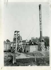
In 1932, the Neepawa Salt Company began producing salt from saline pools in the Neepawa area. According to Virgina Petch (2006), brine was pumped from two drilled wells and salt was extracted via vacuum pan evaporation process. (Source: "Salt-Making in Manitoba," Manitoba History Journal, No. 51, 2006)
Scope and Content
Photograph shows a close-up of a salt well pump at the Neepawa Salt Works.
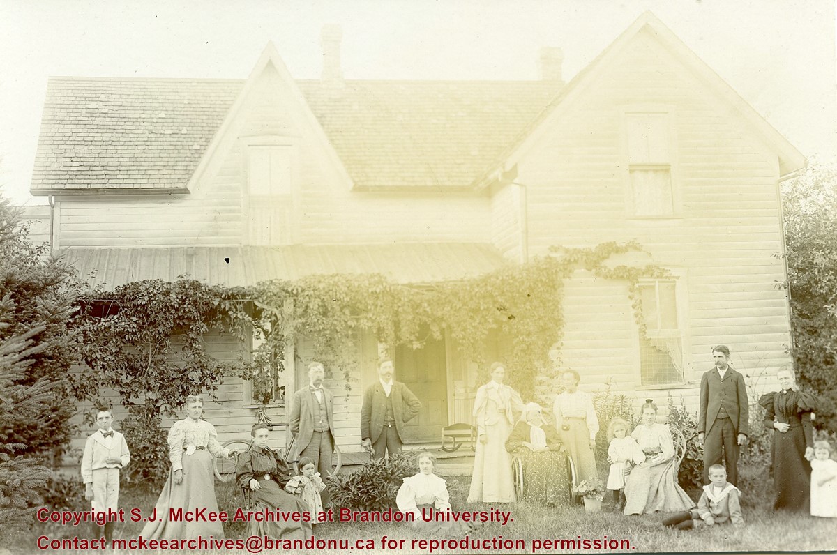
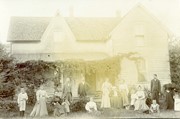
Photograph shows a multi-generational group of people standing outside in front of a wood-framed home. Individuals may possibly belong to the Hughes family.
Notes
Photograph stamped on the back: from the G. Marr Studio, Photos, Views, Frames, Crayon Portraits, &c., Strathroy, Ontario.
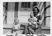
Photograph shows a young woman sitting on a porch step holding a baby. A toddler sits on the step to her right.
Notes
Writing on the front of photograph reads: Doreen Rouse Pachel, Yorkton. Writing on the back of photograph reads: Doreen Rouse Pachel with (Billy & Murray)
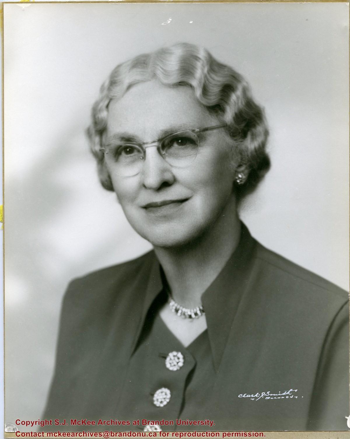
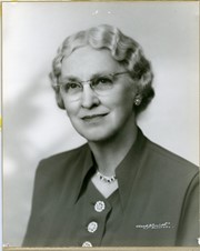
Photograph shows a portrait of an elderly woman with crimped hair and wearing classes. The woman has been identified as Elma Hughes, wife of Willard J. Hughes.
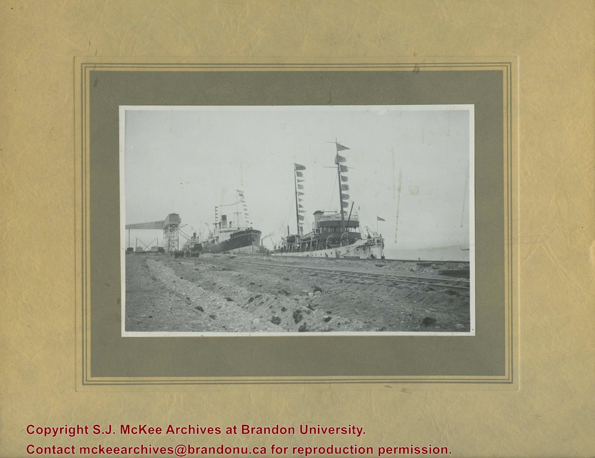
The CGS Acadia was a former hydrographic surveying and oceanographic research ship of the Canadian Hydrographic Service. The ship was used in the surveying work used to establish the port of Churchill.
Scope and Content
Photograph shows three steam ships docked in a port alongside railway tracks.
Notes
Writing on the back of the photograph reads: Churchill 1931 Sept 16 No. 3. Dr. Marion? Party. C.G.S. Acadia, S.S. Warkworth, S.S. Farnworth.


