Erected by the village of Wawanesa, the memorial is dedicated to the local citizens who died as a result of the First and Second World Wars. It was unveiled on November 11, 1921.
Scope and Content
Photograph shows the dedication of a war memorial in the village of Wawanesa, MB. The memorial is located near the bank of the Souris River. The photograph was taken from Wawanesa Mutual. The street on the left is 4th Street.
Notes
History/Bio information taken from the Canadian National Defense website.
Bunclody, MB was located near Souris, MB. The bridge in question crossed the Souris River.
Custodial History
Photograph was donated by a "Mrs. Wilson" in 1989.
Scope and Content
Photograph shows a portion of the Great Northern Railway track with the Bunclody bridge in the background. Also visible are a couple of houses, railway cars, lumber and part of the Souris River. The photograph was taken in early winter or early spring.
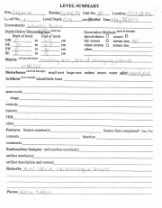
Record of site excavation unit 10 at the Sarah site 2004.
Scope and Content
Site records of excavation units may include: level summaries, floor plans, feature sheets, wall profiles, unit summaries and any other additional information relating to the unit.
Record of site excavation unit 10 at the Crepeele site 2005.
Scope and Content
Site records of excavation units may include: level summaries, floor plans, feature sheets, wall profiles, unit summaries and any other additional information relating to the unit.
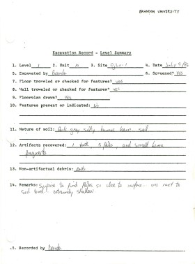
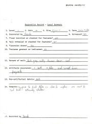
Record of site excavation unit 10 at the Lovstrom survey 1986.
Scope and Content
Site records of excavation units may include: level summaries, floor plans, feature sheets, wall profiles, unit summaries and any other additional information relating to the unit.
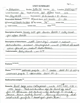
Record of excavation unit 10 at the Atkinson II site 2004.
Scope and Content
Site excavation records of excavation units may include: level summaries, floor plans, feature sheets, wall profiles, unit summaries and any other additional information relating to the unit.
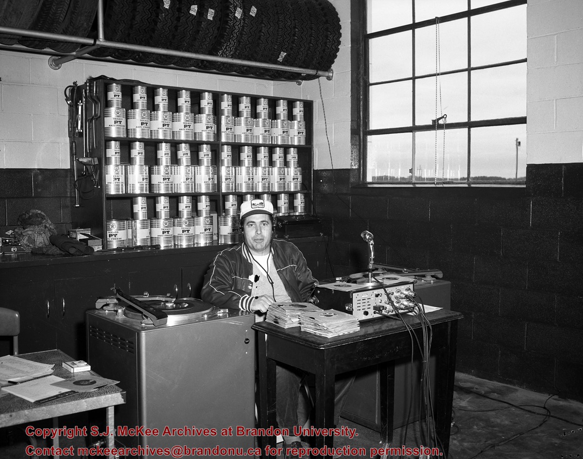
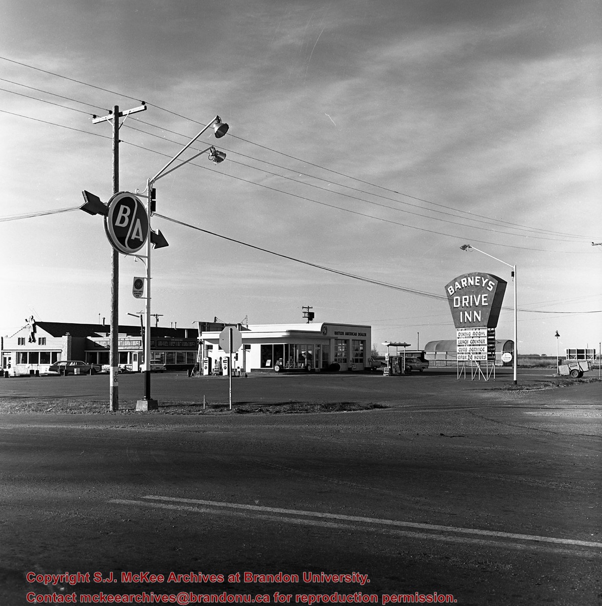
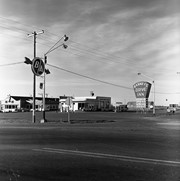
See fonds level of the CKX records for custodial history.
Scope and Content
Image consists of an aerial view looking north at the intersection of Highways 1 and 10 and shows the British American dealer located at the intersection.
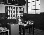
See fonds level of the CKX records for custodial history.
Scope and Content
Image consists of an aerial view looking southeast at the intersection of Highways 1 and 10 and shows the British American dealer located at the intersection.
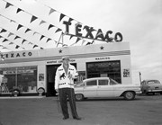
See fonds level of the CKX records for custodial history.
Scope and Content
Image consists of an aerial view looking northeast at the intersection of Highways 1 and 10 and shows the British American dealer located at the intersection.


)
)
)