Brient was a point along the Algoma Central Railway line that connected the Helen Mine to the Michipicoten Harbour. It is located southwest of Wawa, Ontario.
Scope and Content
Photograph shows several men standing on railway tracks before a wood-framed train station in the winter. A sign attached to the station reads: British American Express Co. The man in the foreground appears to have a mailbag over on his back and several newspapers tucked beneath his arm.
Notes
Writing beneath the photograph in the album reads: station at Brient
Trembley was a point along the Algoma Central Railway line that connected the Helen Mine to the Michipicoten Harbour. It is located southwest of Wawa, Ontario.
Scope and Content
Photograph shows railroad tracks. A line of ore cars stretch along one track. Writing on the side of one of the cars (#3017) reads: Algoma Central Railway Co.
Notes
Writing beneath the photograph in the album reads: Trembley - Ore Cars
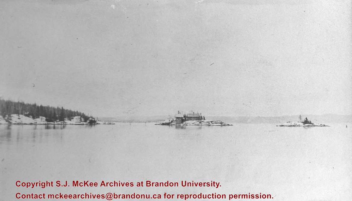
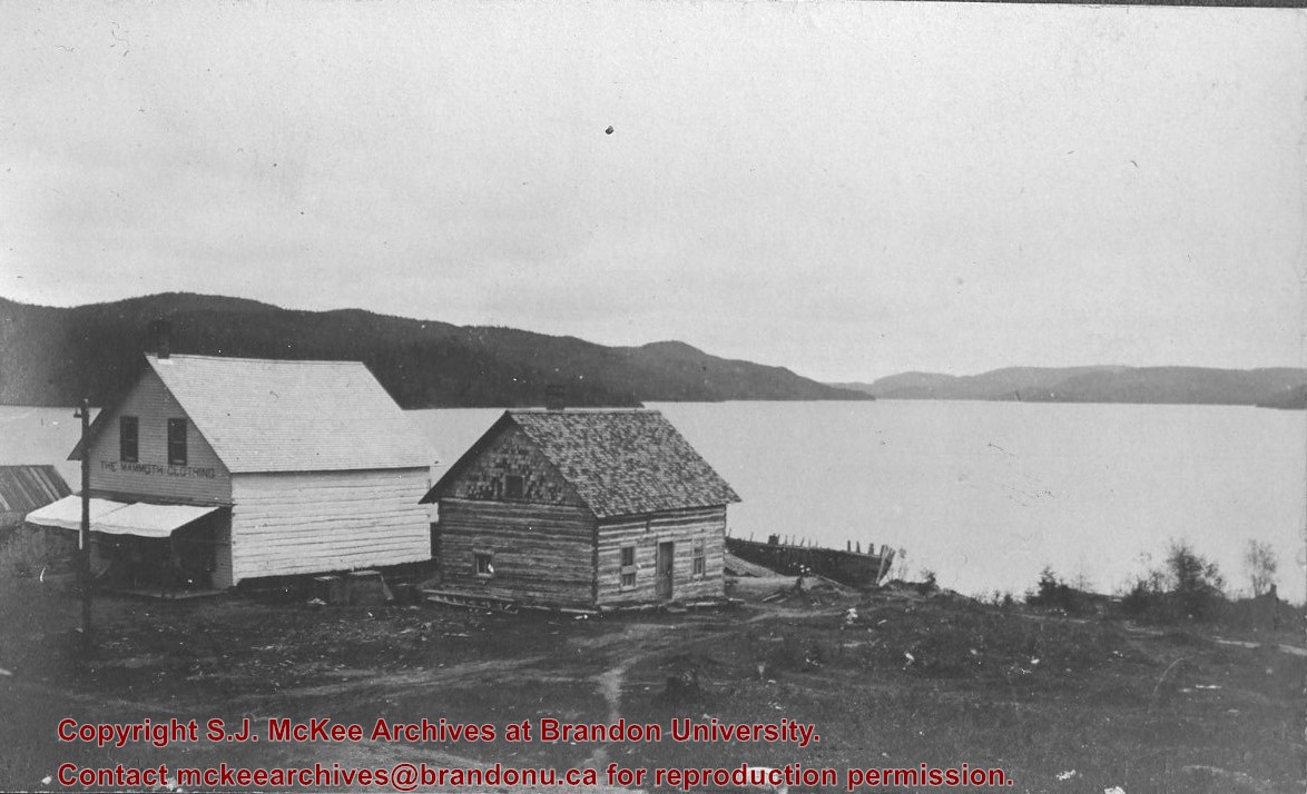
Photograph shows two wooden buildings along a lake shore. Stencilled on one building is: The Mammoth Clothing. A wood-framed boat rests behind one of the structures.
Notes
Writing beneath the photograph in the album reads: Wawa Lake
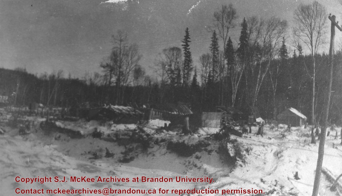
Brient was a point along the Algoma Central Railway line that connected the Helen Mine to the Michipicoten Harbour. It is located southwest of Wawa, Ontario.
Scope and Content
Photograph shows ore box cars in a railway yard.
Notes
Writing beneath the photograph in the album reads: yard at Brient
The amateur's kitchen garden, frame-ground and forcing pit : a handy guide to the formation and management of the kitchen garden and the cultivation of useful vegetables and fruits
For history/bio information see the collection level description of the Lawrence Stuckey collection.
Custodial History
For custodial history see the collection level description of the Lawrence Stuckey collection.
Scope and Content
Series consists of slides created from photographs taken by Lawrence Stuckey during his travels throughout Manitoba, other parts of Canada and the United States. Although Lawrence and his wife Mavis travelled for pleasure, their destinations were often chosen deliberately to enable Lawrence to explore and photograph specific landscapes, flora and fauna.
Paper clip marks stain the top and bottom right corners
History / Biographical
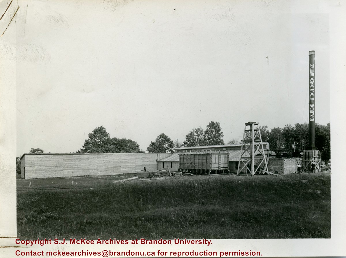
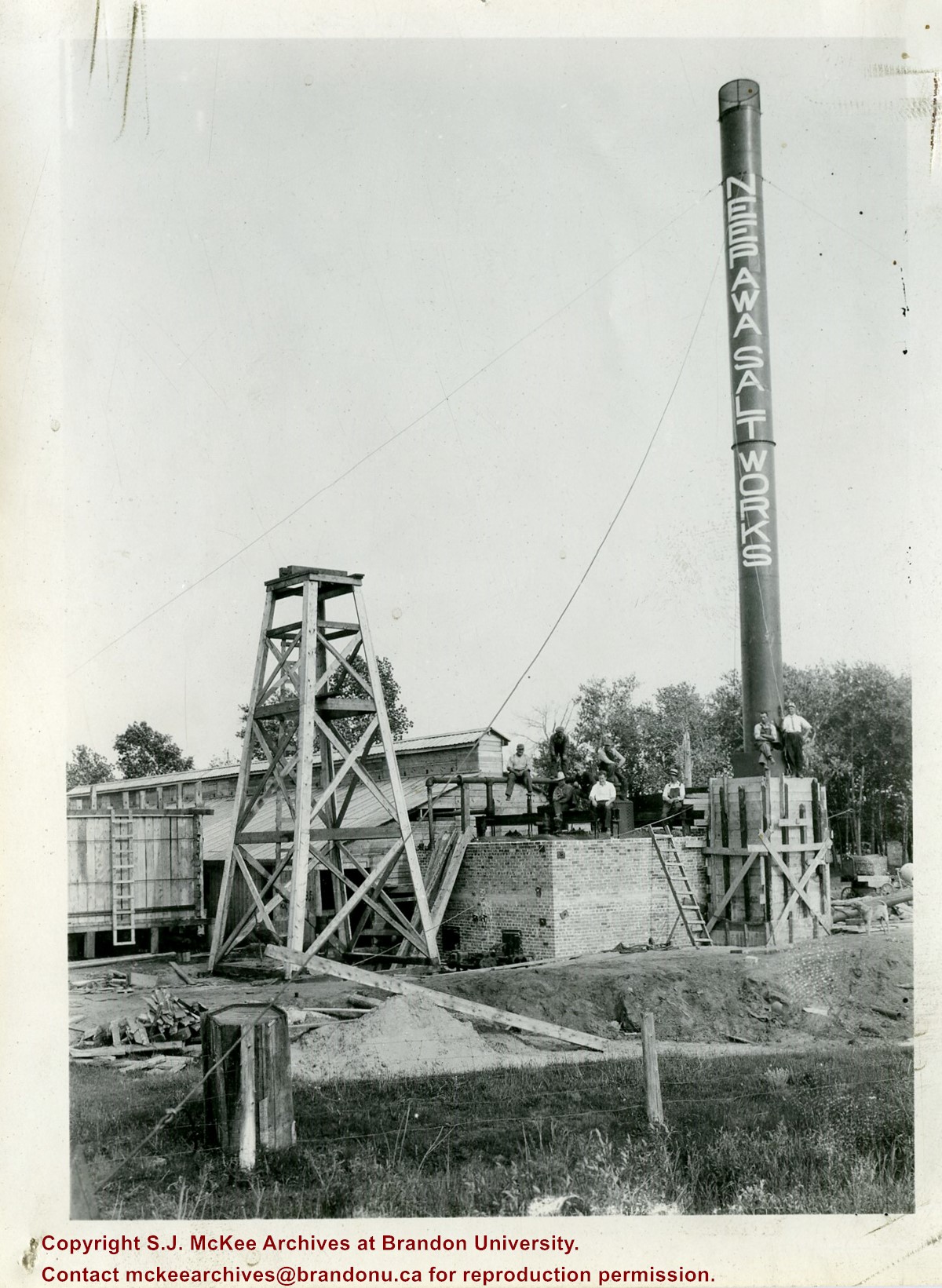
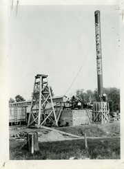
In 1932, the Neepawa Salt Company began producing salt from saline pools in the Neepawa area. According to Virgina Petch (2006), brine was pumped from two drilled wells and salt was extracted via vacuum pan evaporation process. (Source: "Salt-Making in Manitoba," Manitoba History Journal, No. 51, 2006)
Scope and Content
Photograph shows an overview of the salt well at the Neepawa Salt Works.
Paper clip marks stain the top and bottom right corners
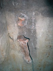
History / Biographical
In 1932, the Neepawa Salt Company began producing salt from saline pools in the Neepawa area. According to Virgina Petch (2006), brine was pumped from two drilled wells and salt was extracted via vacuum pan evaporation process. (Source: "Salt-Making in Manitoba," Manitoba History Journal, No. 51, 2006)
Scope and Content
Photograph shows a close-up of a salt well pump at the Neepawa Salt Works.
An album that was donated to the McKee Archives by Lenore (Gusdal) Dinsdale ’45. The album contains candid shots of student life from approximately 1942-45.There are 154 pictures of various sizes with explanations of the events and people photographed
Notes
RED ALBUM. Donated by: Lenore (Gusdal) Dinsdale ‘45


