See fonds level description of the Alf Fowler collection for custodial history.
Scope and Content
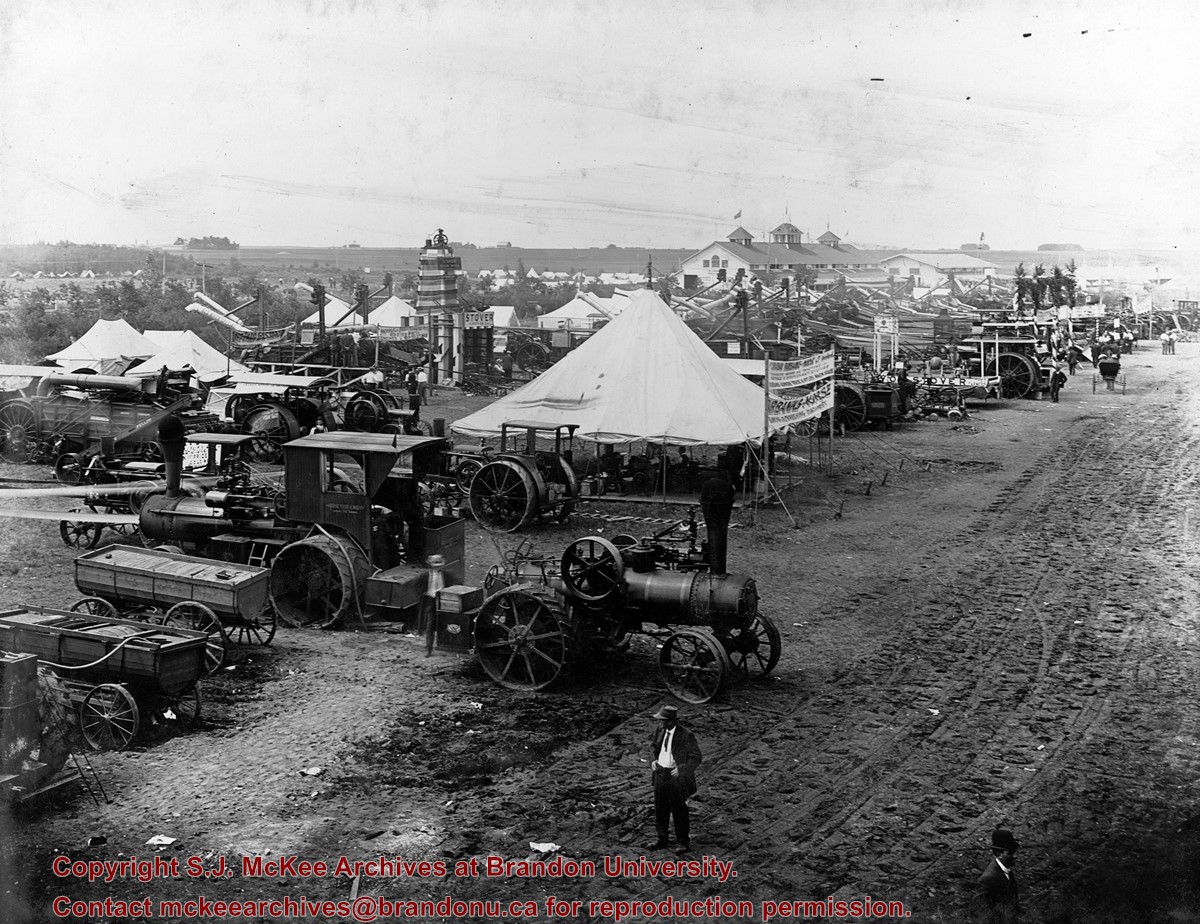
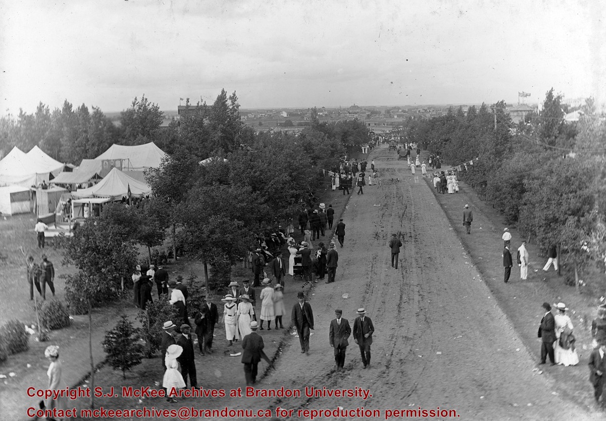
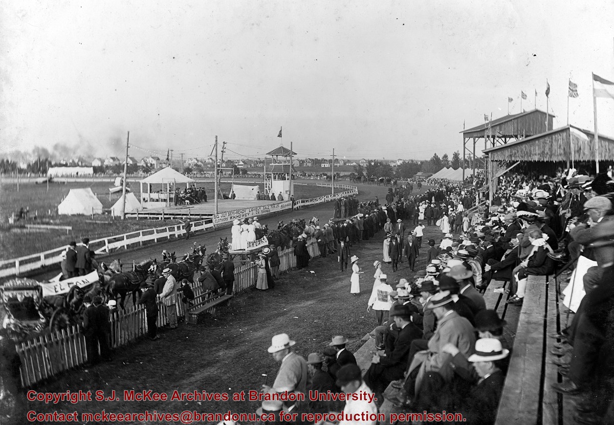
Photo shows the main driveway on the Exhibition grounds (now the Keystone Grounds). A number of men, women and children , as well as some of the Fair tents are visible.
Storage Range
RG 5 Western Manitoba Manuscript collection - photograph storage drawer
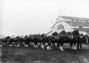
See fonds level description of the Alf Fowler collection for custodial history.
Scope and Content
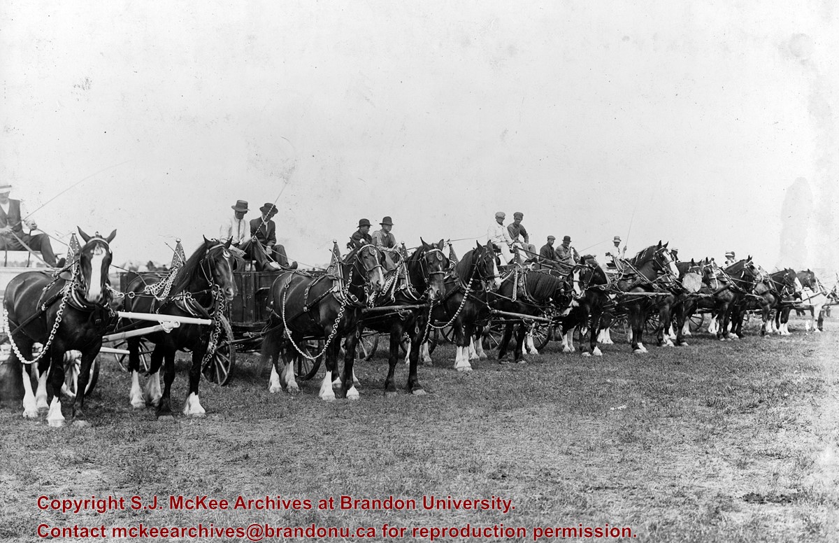
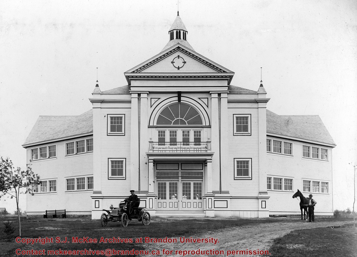
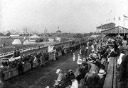
Photo shows a stock parade at the Inter-Provincial Fair held on the Exhibition Grounds (now the Keystone Grounds) in 1912. The stock parade was held at the Grand Stand.
Storage Range
RG 5 Western Manitoba Manuscript collection - photograph storage drawer
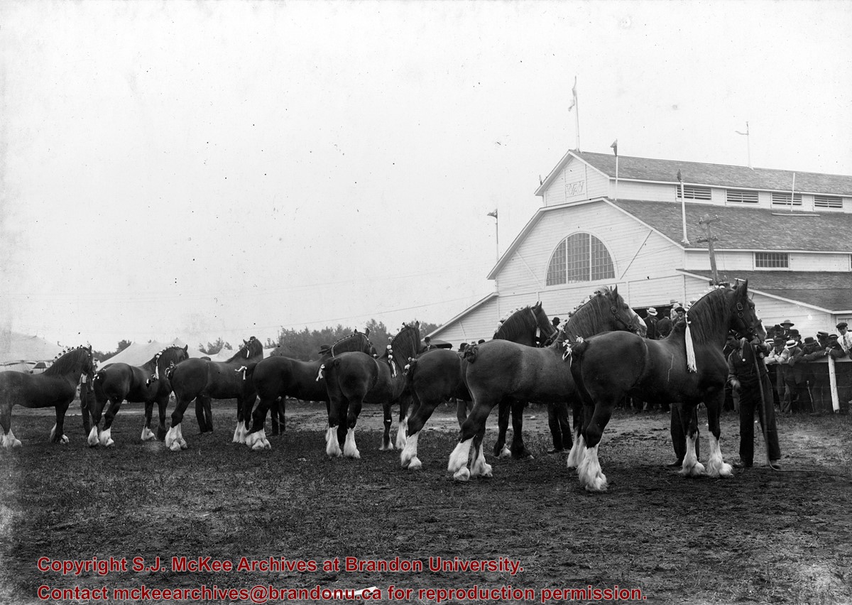
See fonds level description of the Alf Fowler collection for custodial history.
Scope and Content
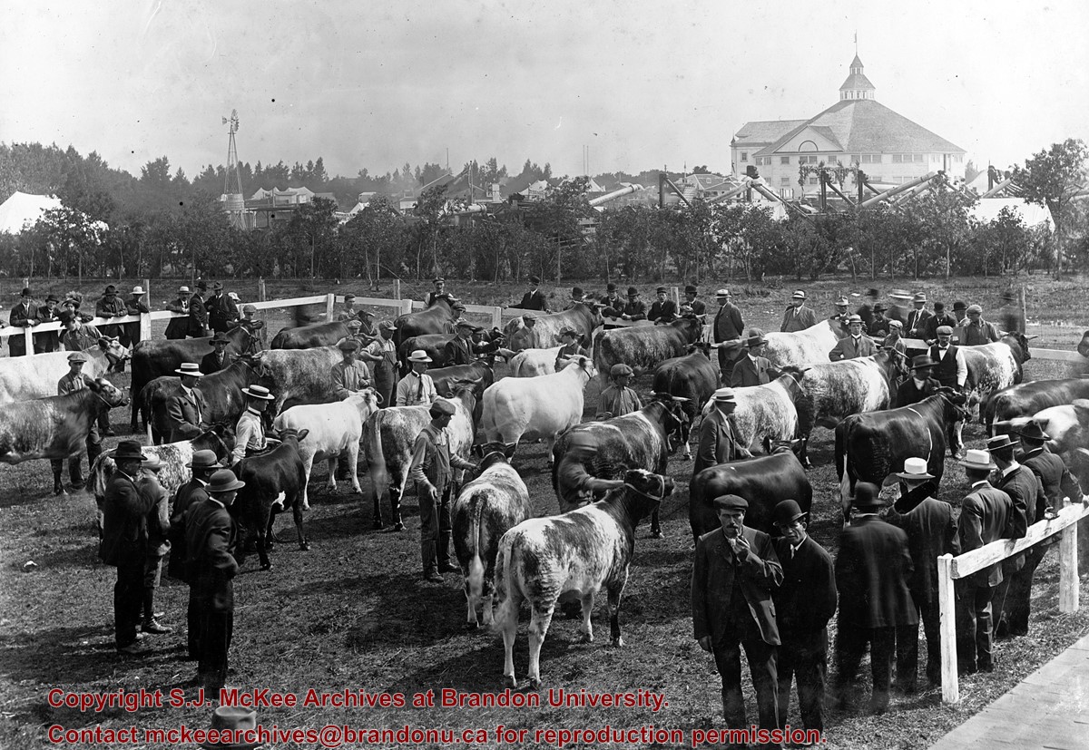
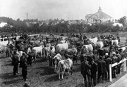
Photo shows a number of clydesdale horses inside a show ring or pen at the Inter-Provincial Fair in 1912. The view is from inside the ring or pen, looking at the rear of the horses, a fair building and some of the spectators.
Notes
Photograph includes negatives.
Storage Range
RG 5 Western Manitoba Manuscript collection - photograph storage drawer
View is southwest from approximatley 16th Street between Princess and Rosser Avenues. Photograph shows the Brandon University campus, as well as surrounding residential blocks, including Flemming, J.R. Reid and Vincent Massey schools.
View is west southwest from approximatley 16th Street between Princess and Lorne Avenues. Photograph shows the Brandon University campus, as well as surrounding residential blocks between 16th and 23rd Streets, Princess and Louise Avenues..
View is west from approximatley 17th Street between Lorne and Louise Avenues. Photograph shows a portion of the Brandon University campus (excluding the Education Building and anything north of it), as well as surrounding residential blocks from approximatley 17th Street to 22nd Street.
View is west northwest from approximatley 16th Street and Louise Avenue. Photograph shows the Brandon University campus, prior to the Library Extension, and a large portion of the city to the west of the campus.
View is northwest from approximatley 16th Street and Louise Avenue. Photograph shows the Brandon University campus, prior to the Library Extension, and a large portion of the city to the west of the campus.
Photograph shows the removal of one of the houses formerly located on 20th Street between Louise and Princess Avenues. The houses on those blocks were removed to create parking lots for the University. A Fed Zavislak Ltd. Well Drilling & Trucking pickup truck is visible at the curb.
Photograph shows the removal of one of the houses formerly located on 20th Street between Louise and Princess Avenues. The houses on those blocks were removed to create parking lots for the University.
View is northeast probably from the roof of McMaster Hall. Photograph shows the construction of the new roof on Clark Hall and the Brandon College Building. A portion of the east side of the 000 and 100 blocks of 18th Street, as well as the corner of 18th Street and Rosser Avenue are visible in the upper left hand corner. This includes the "Downtown Brandon" sign.
View is north northeast probably from the roof of McMaster Hall. Photograph shows the construction of the new roof on Clark Hall and the Brandon College Building, as well as the construction of the extension to Clark Hall and the skywalk. Portions of the city as far north as the Assiniboine River are also visible.
View is northwest from Clark Hall. Photograph shows construction materials in the area between Clark Hall and the A.E. McKenzie Building during winter. The Western Manitoba Centennial Auditorium is visible in the upper right hand corner.


)