Red ink stain is on the front right corner of postcard
Scope and Content
Photograph shows 10th Street facing south from Princess Avenue. Visible landmarks and businesses include: Manitoba Power Commission (MPC)'s power sub-station, First Baptist Church, Wheat City Arena, and the grand stand at the Exhibition Grounds.
The partial sign visible at the bottom of the photograph on the east side of 10th Street reads Yates and Neale, which refers to a plumbing and heating company that dissolved in 1943 to be replaced by Neale, Stothard and Chapman.
Businesses on the west side of 10th Street include: Dominion Tire & Radio Co., Bolts Barber Shop, Elviss T.E. Co. Stables.
Notes
Information concerning Yates and Neale courtesy Jack Stothard. Writing on the front of the postcard reads: Brandon, Looking S.W., Jerrett Photo. This photograph shows a rare view of the 200-block of 10th Street.
For custodial history see the collection level description of the Lawrence Stuckey collection.
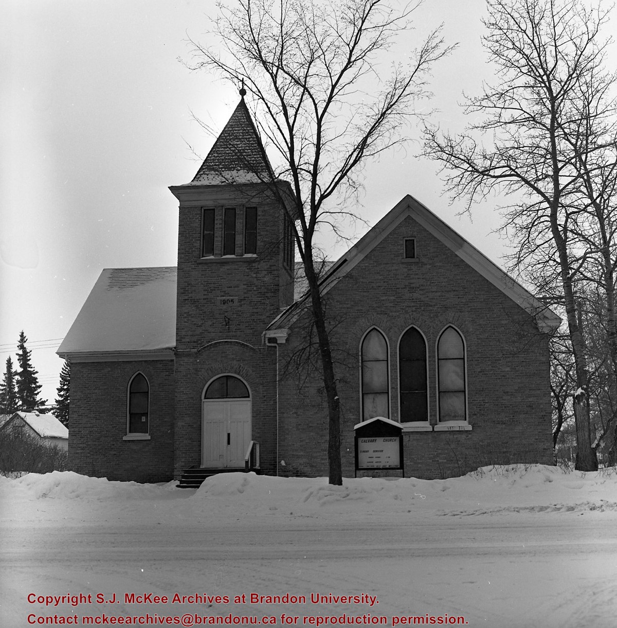
Scope and Content
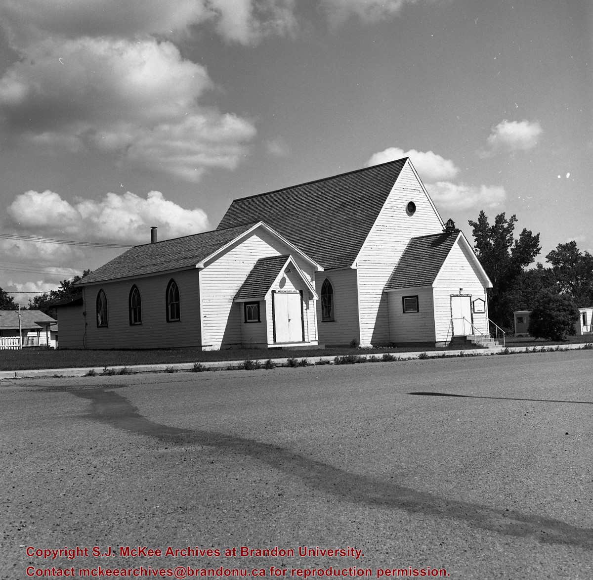
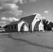
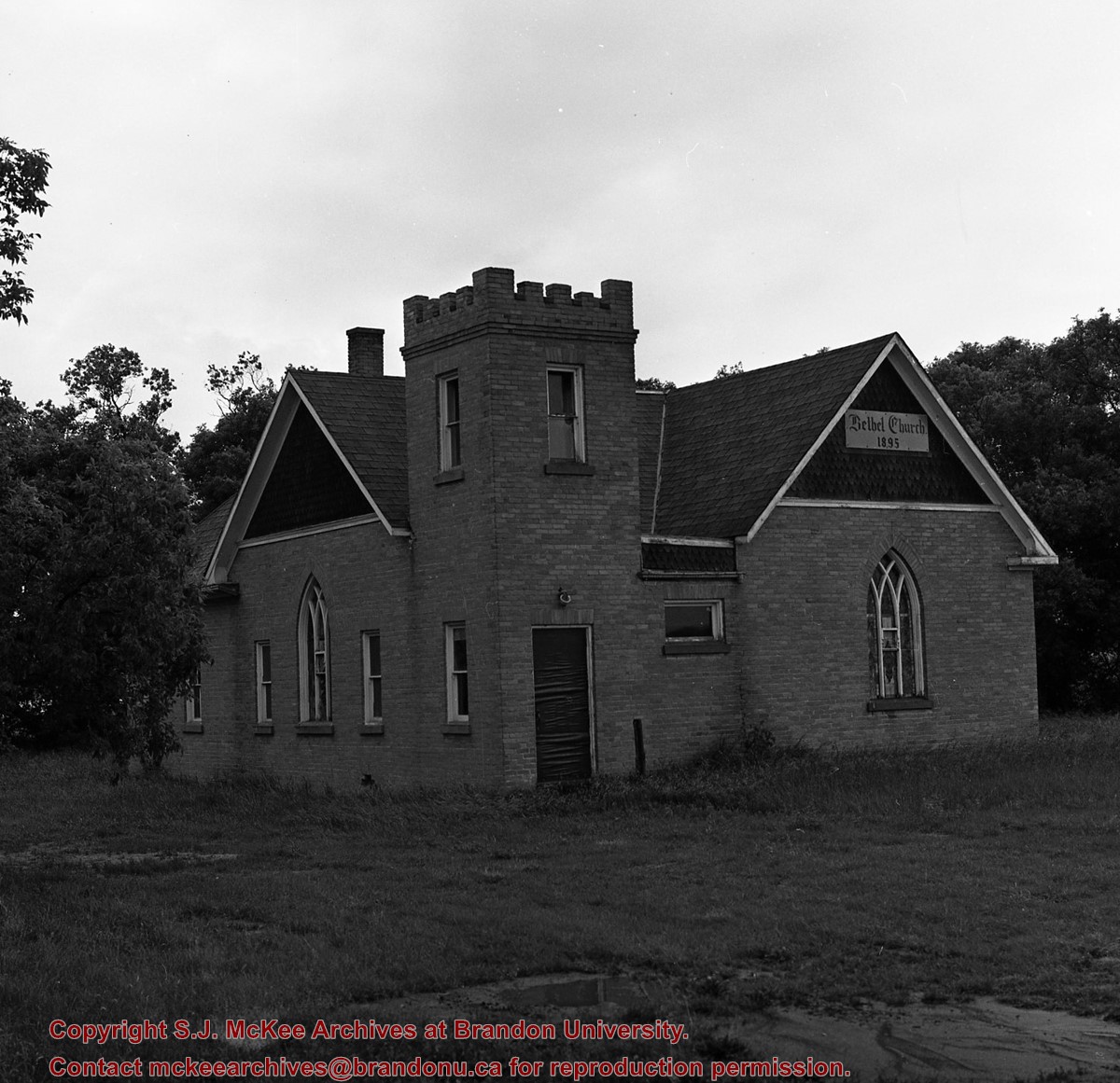
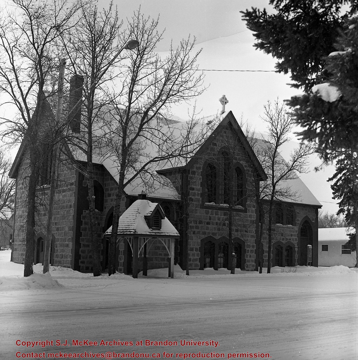
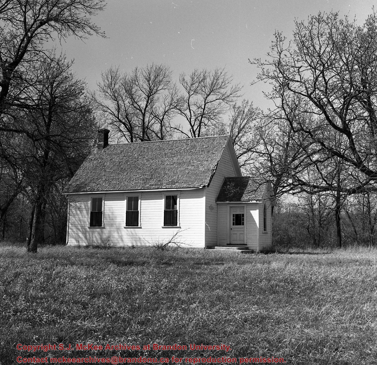
Image of Bethel Church (1895) on Highways 2 & 21 west of Deleau, Manitoba.
Notes
[Brandon SW includes communities south of Trans-Canada #1 highway and west of PTH #10.] [Images 349a and 349b are images of the exterior of the church, and images 349c-349-e are images of the stained glass windows.]
For custodial history see the collection level description of the Lawrence Stuckey collection.
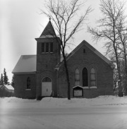
Scope and Content
Image of Bethel Church (1895) on Highways 2 & 21 west of Deleau, Manitoba.
Notes
[Brandon SW includes communities south of Trans-Canada #1 highway and west of PTH #10.] [Images 349a and 349b are images of the exterior of the church, and images 349c-349-e are images of the stained glass windows.]
For custodial history see the collection level description of the Lawrence Stuckey collection.
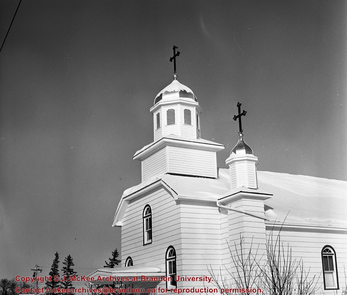
Scope and Content
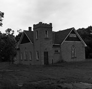
Image of Bethel Church (1895) on Highways 2 & 21 west of Deleau, Manitoba.
Notes
[Brandon SW includes communities south of Trans-Canada #1 highway and west of PTH #10.] [Images 349a and 349b are images of the exterior of the church, and images 349c-349-e are images of the stained glass windows.]
For custodial history see the collection level description of the Lawrence Stuckey collection.
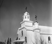
Scope and Content
Image of Bethel Church (1895) on Highways 2 & 21 west of Deleau, Manitoba.
Notes
[Brandon SW includes communities south of Trans-Canada #1 highway and west of PTH #10.] [Images 349a and 349b are images of the exterior of the church, and images 349c-349-e are images of the stained glass windows.]
For custodial history see the collection level description of the Lawrence Stuckey collection.
Scope and Content
Image of Bethel Church (1895) on Highways 2 & 21 west of Deleau, Manitoba.
Notes
[Brandon SW includes communities south of Trans-Canada #1 highway and west of PTH #10.] [Images 349a and 349b are images of the exterior of the church, and images 349c-349-e are images of the stained glass windows.]
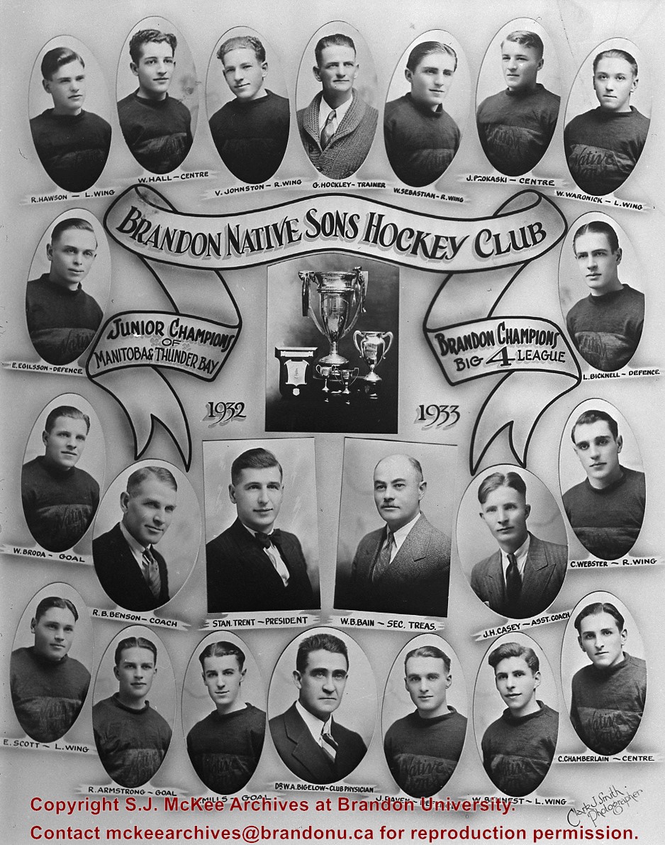
Contract for producing and framing 100 historical photos was awarded to myself as proprietor Clark Smith Studio. This gallery of photos is displayed in Neelin High School. LAS.
Custodial History
For custodial history see the collection level description of the Lawrence Stuckey collection.
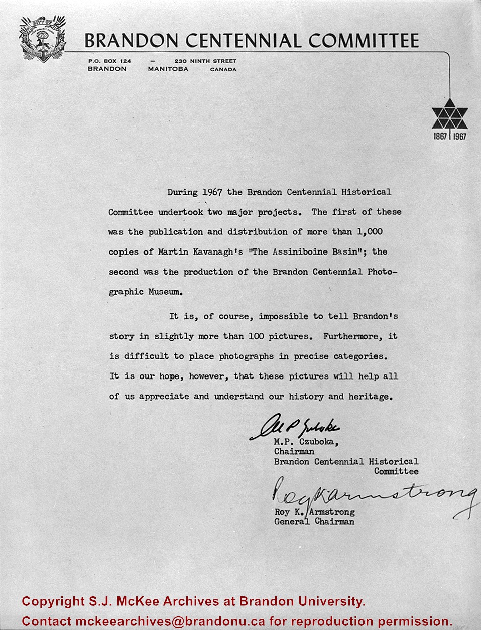
Scope and Content
Letter outlining projects of National Centennial Committee of Brandon.
For custodial history see the collection level description of the Lawrence Stuckey collection.
Scope and Content
Brandon House No. 2 Cairn
Notes
[Cairn reads: "Brandon House No. 2 established on this site 10 A.M. Oct. 7 1828 by Chief Trader Francis Heron of the H.B. Co.; Abandoned 1832; This cairn Dedicated Oct. 7 1928; Erected by The Brandon Rotary Club" (P.E. 23/07/09).]
The City of Brandon (by decree of the Province) went to a ward system of government with the civic elections of October of 1971. Ten aldermen, who had to reside in their wards, were elected by the people of their wards. The Mayor was elected by the city at large. The previous committee system was abolished and individual aldermen henceforth had no specific responsibilities.
Custodial History
For custodial history see the collection level description of the Lawrence Stuckey collection.


.jpg?width=1200&404=no-img.jpg&watermark=wmk)
.jpg?width=180&404=no-img.jpg)
.jpg?width=1200&404=no-img.jpg&watermark=wmk)
.jpg?width=180&404=no-img.jpg)


.jpg?width=1200&404=no-img.jpg&watermark=wmk)
.jpg?width=180&404=no-img.jpg)
.jpg?width=1200&404=no-img.jpg&watermark=wmk)
.jpg?width=180&404=no-img.jpg)
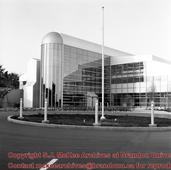
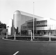
.jpg%3fmaxheight%3d1000%26maxwidth%3d1000%26watermark%3dwmk&description=Airport+Terminal)
.jpg%3fmaxheight%3d1000%26maxwidth%3d1000%26watermark%3dwmk&description=Airport+Terminal)
+on+Highway+2-21+near+Hartney+Junction)
+on+Highways++2+%26+21+west+of+Deleau%2c+Manitoba.)
+on+Highways++2+%26+21+west+of+Deleau%2c+Manitoba.)
+on+Highways++2+%26+21+west+of+Deleau%2c+Manitoba.)
+on+Highways++2+%26+21+west+of+Deleau%2c+Manitoba.)
+on+Highways++2+%26+21+west+of+Deleau%2c+Manitoba.)
.jpg%3fmaxheight%3d1000%26maxwidth%3d1000%26watermark%3dwmk&description=Brandon+House+No.+2+Cairn)
.jpg%3fmaxheight%3d1000%26maxwidth%3d1000%26watermark%3dwmk&description=Brandon+House+No.+2+Cairn)
%2c+Minnedosa%2c+Manitoba.)