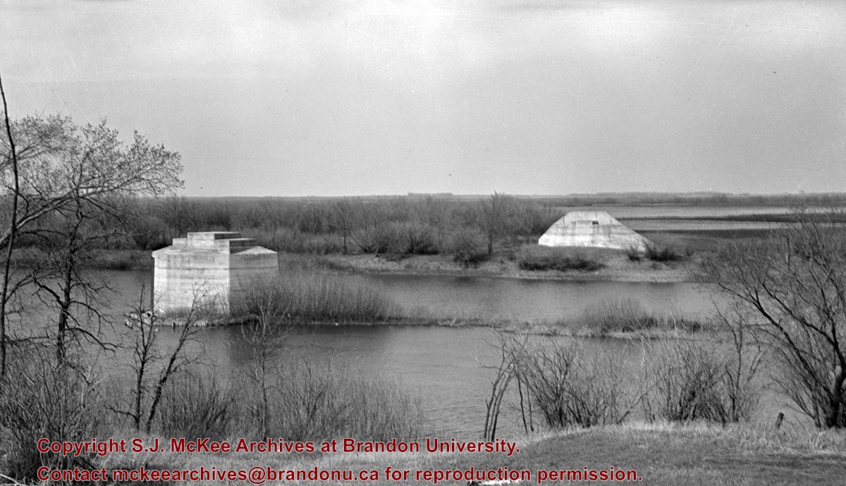
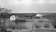
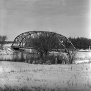
This bridge was condemned in the late 1930s but cyclists continued to use it until it was torn down (approximately 1940)
Until the early 1920s the Canadian Pacific Railway maintained a well and pumping station near the southeast corner of this bridge, which pumped water through a pipeline to a locomotive watering tank at Kemnay.
Custodial History
For custodial history see the collection level description of the Lawrence Stuckey collection.
Scope and Content
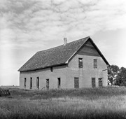
Assiniboine River Bridge North of Kemnay
Notes
[Mr. Stuckey put a negative and print in the same envelope. We have separated them, numbering the negative OB5(1) and the print OB5(1a).]
This bridge was condemned in the late 1930s but cyclists continued to use it until it was torn down (approximately 1940)
Until the early 1920s the Canadian Pacific Railway maintained a well and pumping station near the southeast corner of this bridge, which pumped water through a pipeline to a locomotive watering tank at Kemnay.
Custodial History
For custodial history see the collection level description of the Lawrence Stuckey collection.
Scope and Content
Assiniboine River Bridge North of Kemnay
Notes
[Mr. Stuckey put a negative and print in the same envelope. We have separated them, numbering the negative OB5(1) and the print OB5(1a).]
For custodial history see the collection level description of the Lawrence Stuckey collection.
Scope and Content
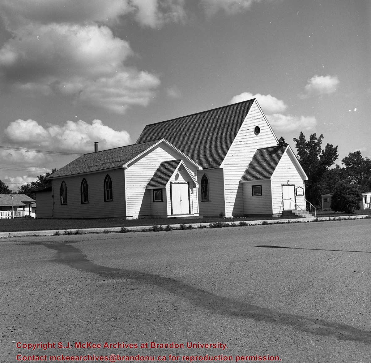
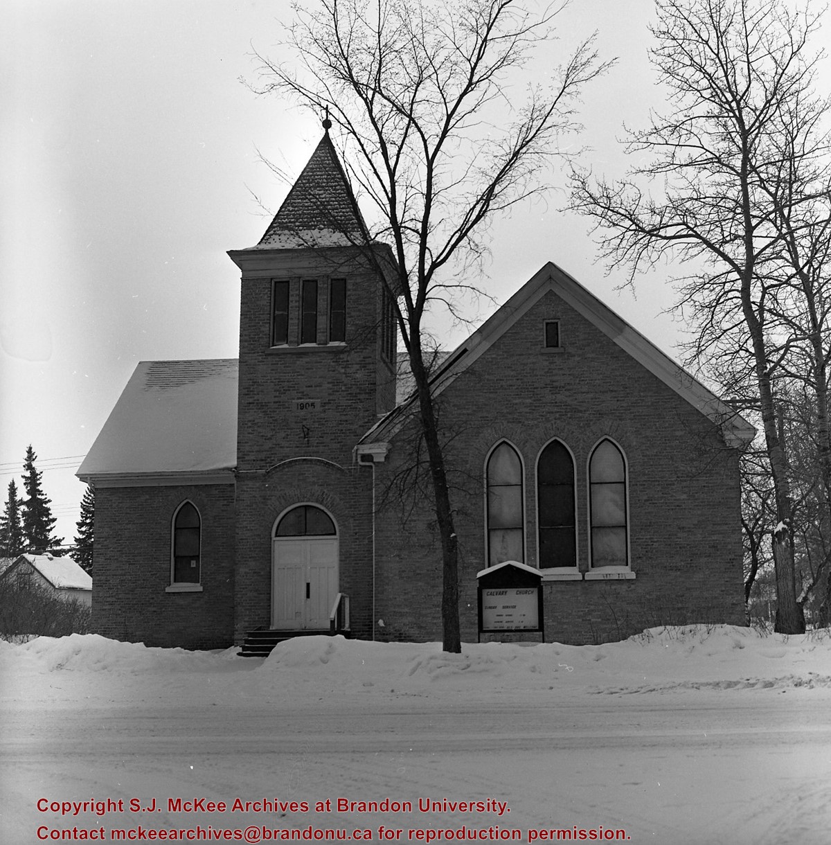
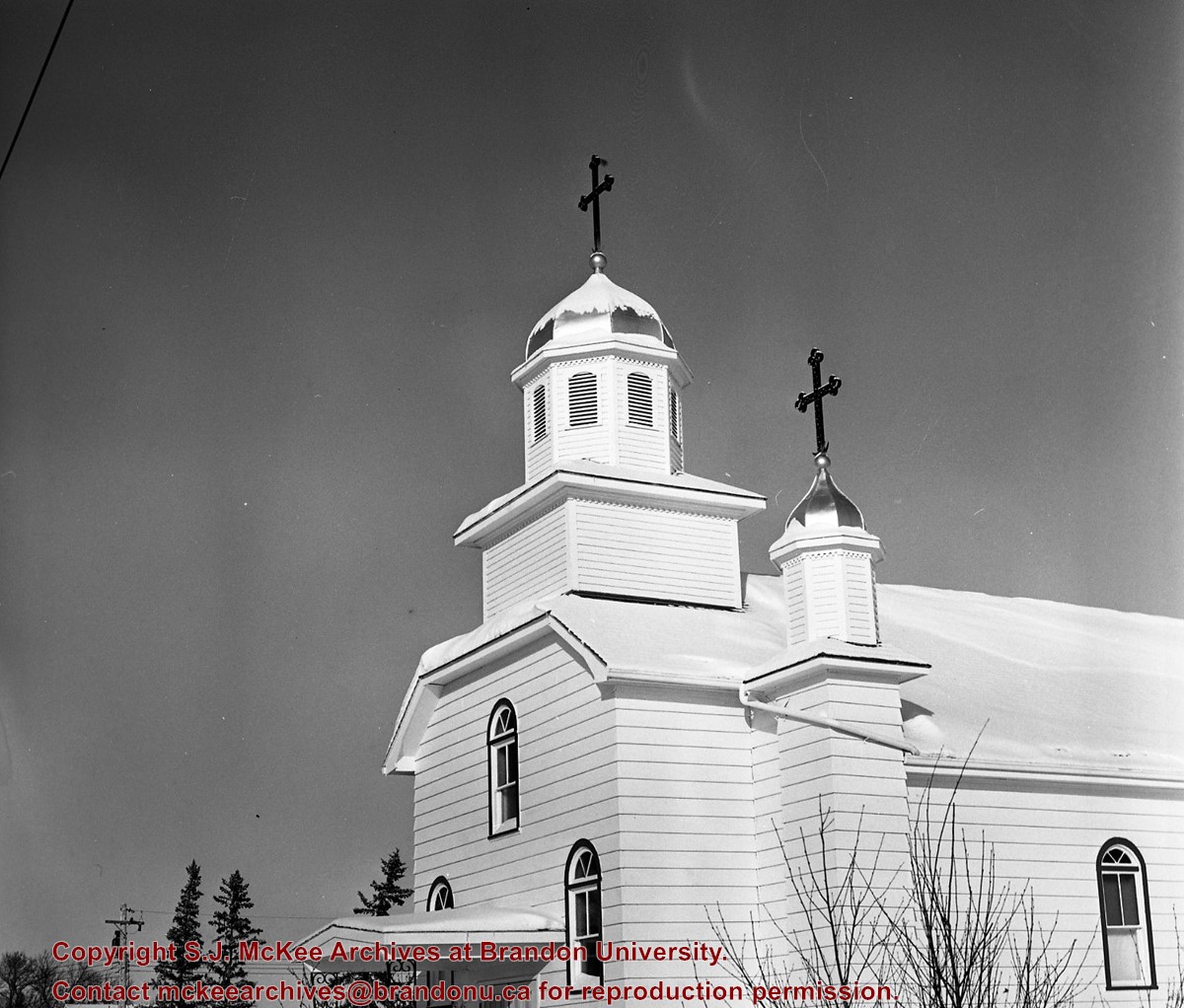
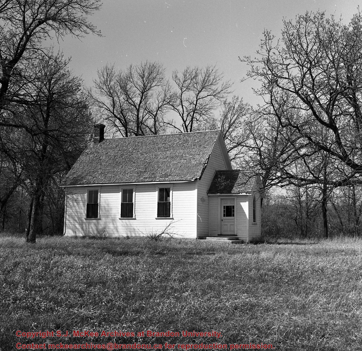
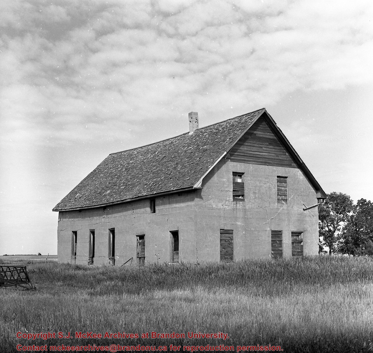
Image of Bethel Church (1895) on Highways 2 & 21 west of Deleau, Manitoba.
Notes
[Brandon SW includes communities south of Trans-Canada #1 highway and west of PTH #10.] [Images 349a and 349b are images of the exterior of the church, and images 349c-349-e are images of the stained glass windows.]
For custodial history see the collection level description of the Lawrence Stuckey collection.
Scope and Content
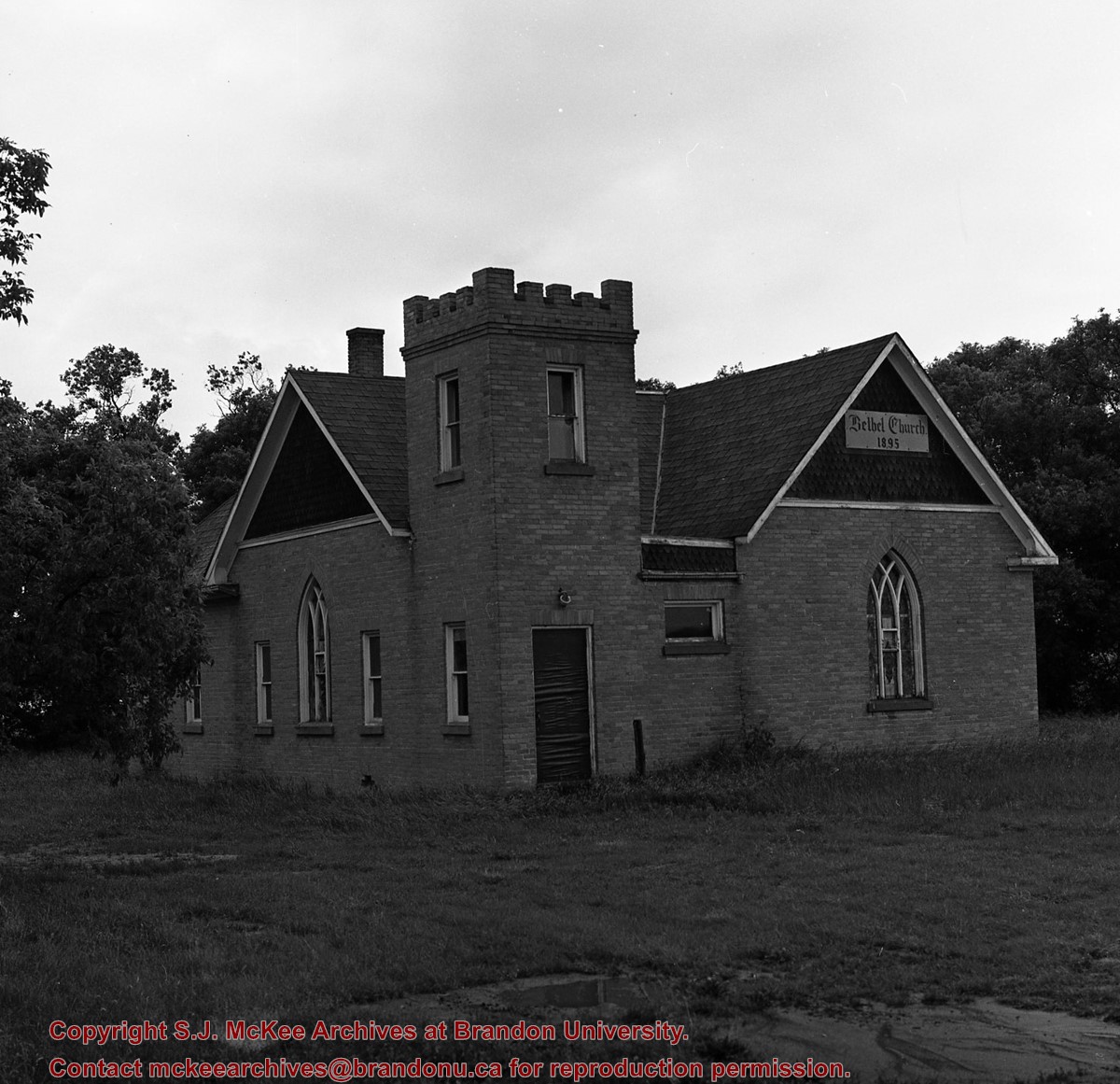
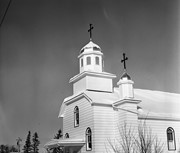
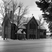
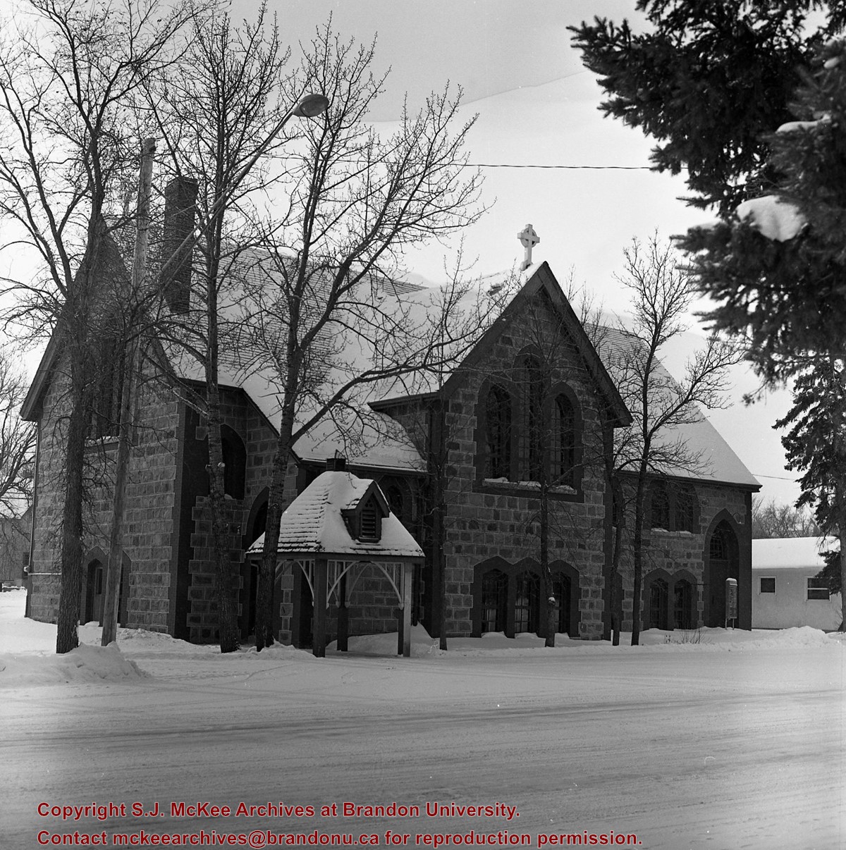
Image of Bethel Church (1895) on Highways 2 & 21 west of Deleau, Manitoba.
Notes
[Brandon SW includes communities south of Trans-Canada #1 highway and west of PTH #10.] [Images 349a and 349b are images of the exterior of the church, and images 349c-349-e are images of the stained glass windows.]
.jpg?width=1200&404=no-img.jpg&watermark=wmk)
.jpg?width=180&404=no-img.jpg)
.jpg?width=1200&404=no-img.jpg&watermark=wmk)
.jpg?width=180&404=no-img.jpg)


.jpg%3fmaxheight%3d1000%26maxwidth%3d1000%26watermark%3dwmk&description=Assiniboine+River+Bridge+North+of+Kemnay)
.jpg%3fmaxheight%3d1000%26maxwidth%3d1000%26watermark%3dwmk&description=Assiniboine+River+Bridge+North+of+Kemnay)
+on+Highway+2-21+near+Hartney+Junction)
+on+Highways++2+%26+21+west+of+Deleau%2c+Manitoba.)
+on+Highways++2+%26+21+west+of+Deleau%2c+Manitoba.)
+on+Highways++2+%26+21+west+of+Deleau%2c+Manitoba.)
+on+Highways++2+%26+21+west+of+Deleau%2c+Manitoba.)
+on+Highways++2+%26+21+west+of+Deleau%2c+Manitoba.)
%2c+Minnedosa%2c+Manitoba.)