Brandon College looking south from 19th Street. Photograph was taken after Flora Cowan Hall was built but before construction of the Education Building.
Image is looking east northeast from approximately the 300 block of 23rd Street between Lorne and Louise Avenues. Photograph shows the Brandon College campus after the opening of the original Music Building in 1963, but before the construction of the Education Building in 1966. A number of house on the 300 blocks of 22nd and 21st Streets are visible in the foreground, with the A.E. McKenzie Seed Co., the Prince Edward Hotel and various grain elevators on the horizon.
Image shows the Brandon College campus from 17th Street looking southwest. The photo was taken after the completion of the original Music Building in 1963, but construction of the Education Building. Also visible are a number of properties on the 200 block of 18th Street and the 200 block of 20th Street.
View is southwest from approximatley 16th Street between Princess and Rosser Avenues. Photograph shows the Brandon University campus, as well as surrounding residential blocks, including Flemming, J.R. Reid and Vincent Massey schools.
View is west southwest from approximatley 16th Street between Princess and Lorne Avenues. Photograph shows the Brandon University campus, as well as surrounding residential blocks between 16th and 23rd Streets, Princess and Louise Avenues..
View is west from approximatley 17th Street between Lorne and Louise Avenues. Photograph shows a portion of the Brandon University campus (excluding the Education Building and anything north of it), as well as surrounding residential blocks from approximatley 17th Street to 22nd Street.
View is west northwest from approximatley 16th Street and Louise Avenue. Photograph shows the Brandon University campus, prior to the Library Extension, and a large portion of the city to the west of the campus.
View is northwest from approximatley 16th Street and Louise Avenue. Photograph shows the Brandon University campus, prior to the Library Extension, and a large portion of the city to the west of the campus.
See fonds level of the CKX records for custodial history.
Scope and Content
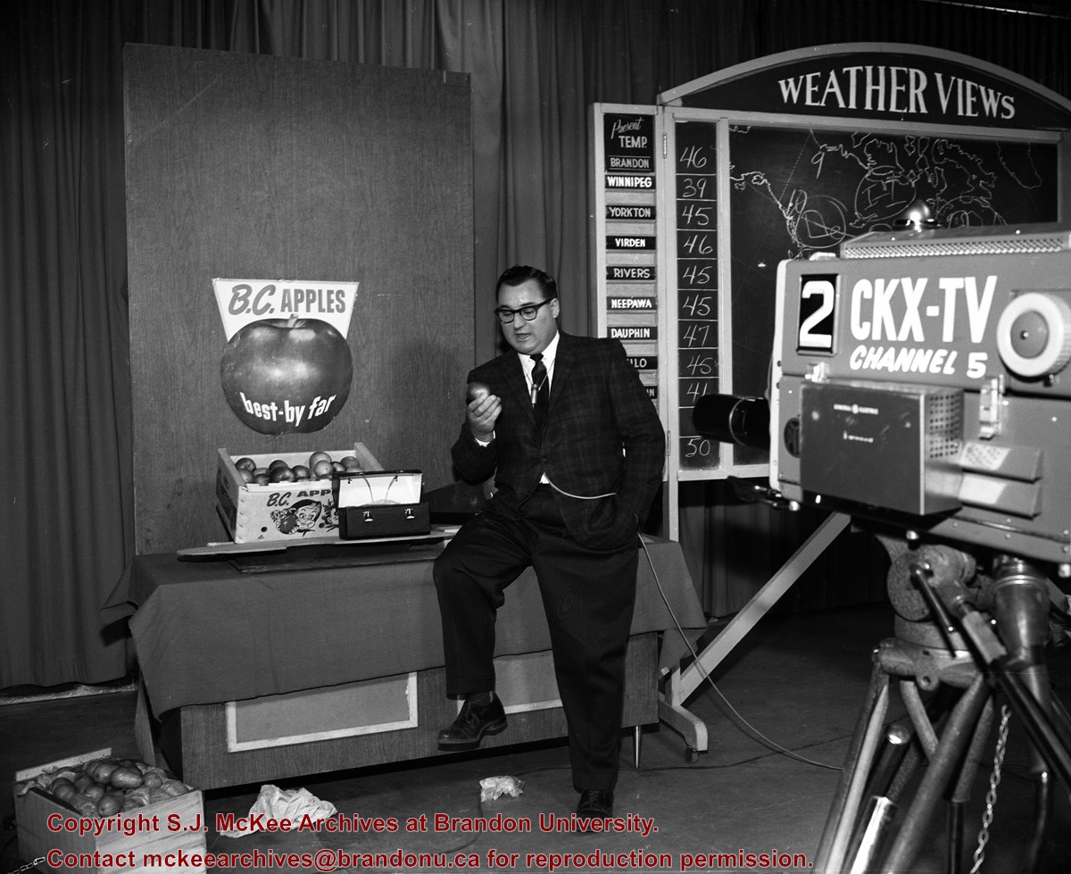
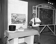
Image consists of a table displaying a box of B.C. apples and a metal lunch box, with a broadcaster leaning on the table. In front of the broadcaster is a CKX-TV television camera, and behind him is a weather map.
See fonds level of the CKX records for custodial history.
Scope and Content
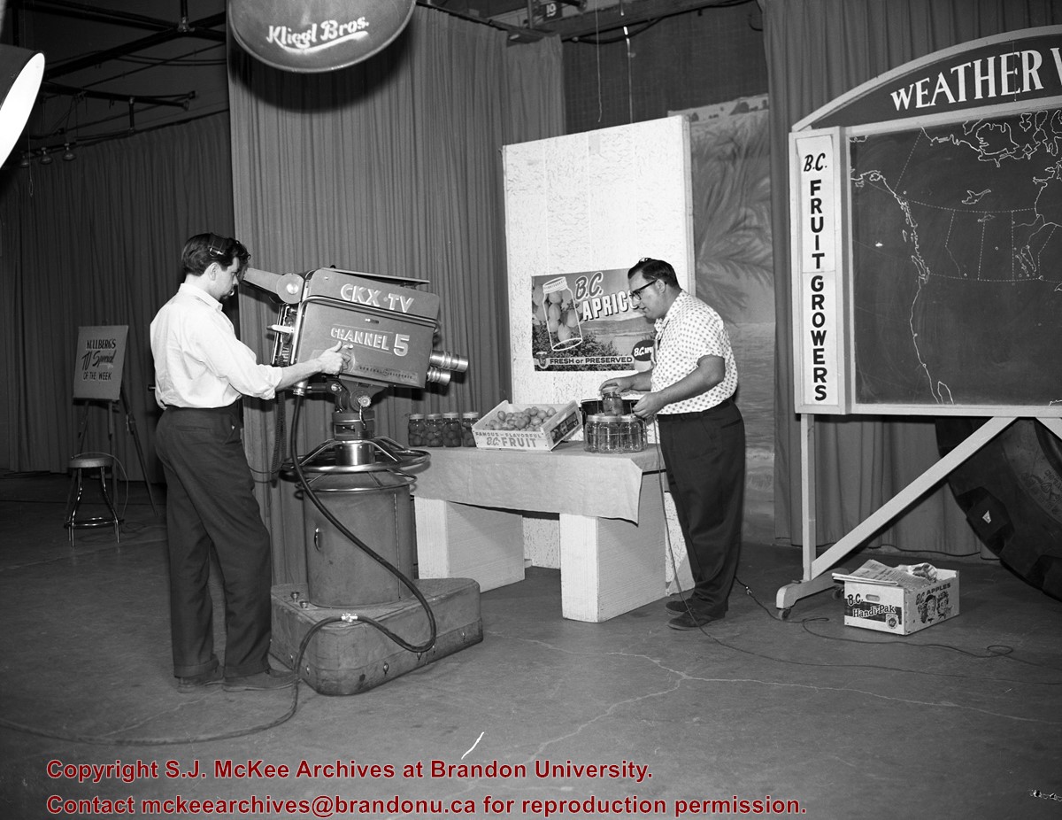
Image consists of a table displaying a box of B.C. apricots and some jars of canned apricots, with a broadcaster standing beside the table. Behind the broadcaster is a weather map. A CKX-TV television camera man appears to be filming a commercial.
See fonds level of the CKX records for custodial history.
Scope and Content
Image consists of a table displaying a bowl of B.C. apricots, a canning kettle and some jars of canned apricots, with broadcaster Harold Robbins standing beside the table holding a jar of canned apricots. Behind the Robbins is a weather map.
See fonds level of the CKX records for custodial history.
Scope and Content
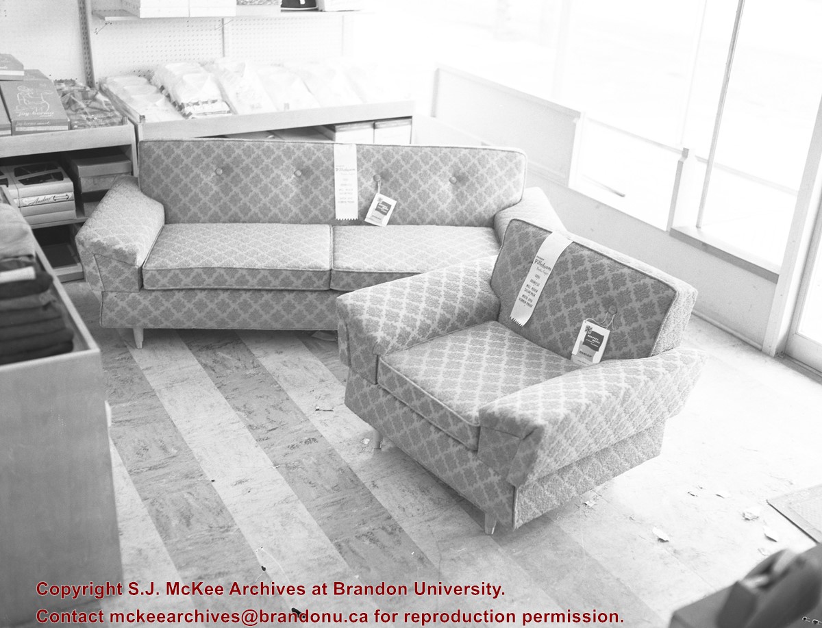
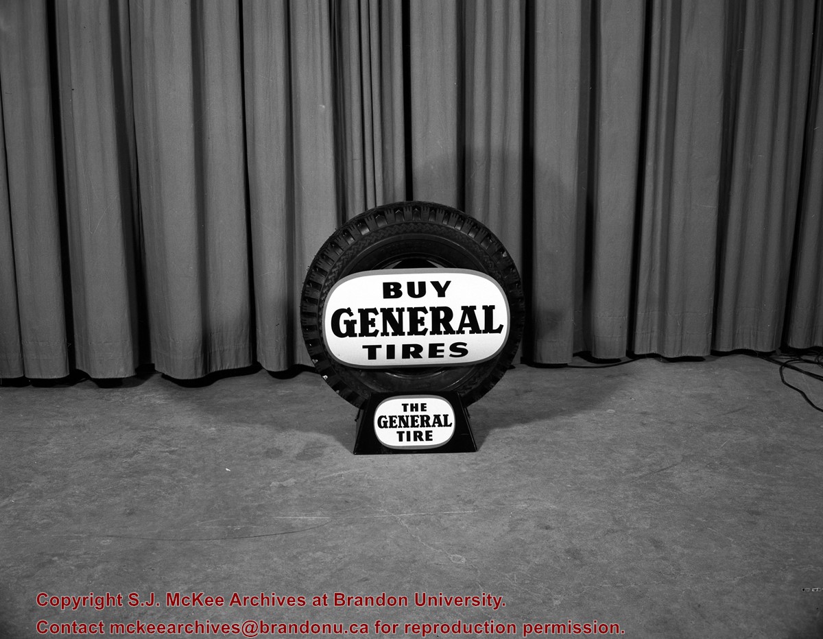
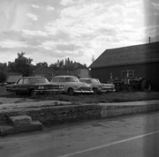
Image consists of a car tire on what appears to be a television studio set. The tire has a sign on it which reads: "Buy General Tires - the general tire".


)