Skip header and navigation

Revise Search

5 records – page 1 of 1.

Aerial view - Brandon University campus

http://archives.brandonu.ca/en/permalink/descriptions7989
Part Of
Brandon University Photograph collection
Description Level
Item
GMD
graphic
Date Range
c. 2000
Part Of
Brandon University Photograph collection
Creator
Photograph commissioned by Brandon University and taken by Yourview Aerial Scenics Ltd.
Description Level
Item
Series Number
2.1
Item Number
BUPC 2.1.55
GMD
graphic
Date Range
c. 2000
Physical Description
6" x 4" (colour)
Scope and Content
View is southwest from approximatley 16th Street between Princess and Rosser Avenues. Photograph shows the Brandon University campus, as well as surrounding residential blocks, including Flemming, J.R. Reid and Vincent Massey schools.
Subject Access
aerial photographs
campus photographs
campus buildings
Brandon streets
Images
Show Less

Aerial view - Brandon University campus

http://archives.brandonu.ca/en/permalink/descriptions7990
Part Of
Brandon University Photograph collection
Description Level
Item
GMD
graphic
Date Range
c. 2000
Part Of
Brandon University Photograph collection
Creator
Photograph commissioned by Brandon University and taken by Yourview Aerial Scenics Ltd.
Description Level
Item
Series Number
2.1
Item Number
BUPC 2.1.56
GMD
graphic
Date Range
c. 2000
Physical Description
6" x 4" (colour)
Scope and Content
View is west southwest from approximatley 16th Street between Princess and Lorne Avenues. Photograph shows the Brandon University campus, as well as surrounding residential blocks between 16th and 23rd Streets, Princess and Louise Avenues..
Subject Access
aerial photographs
campus photographs
campus buildings
Brandon streets
Images
Show Less

Aerial view - Brandon University campus

http://archives.brandonu.ca/en/permalink/descriptions7991
Part Of
Brandon University Photograph collection
Description Level
Item
GMD
graphic
Date Range
c. 2000
Part Of
Brandon University Photograph collection
Creator
Photograph commissioned by Brandon University and taken by Yourview Aerial Scenics Ltd.
Description Level
Item
Series Number
2.1
Item Number
BUPC 2.1.57
GMD
graphic
Date Range
c. 2000
Physical Description
6" x 4" (colour)
Scope and Content
View is west from approximatley 17th Street between Lorne and Louise Avenues. Photograph shows a portion of the Brandon University campus (excluding the Education Building and anything north of it), as well as surrounding residential blocks from approximatley 17th Street to 22nd Street.
Subject Access
aerial photographs
campus photographs
campus buildings
Brandon streets
Images
Show Less

J.R.C. Evans Lecture Theatre and the link

http://archives.brandonu.ca/en/permalink/descriptions880
Part Of
Brandon University Photograph collection
Description Level
Item
GMD
graphic
Date Range
[196-]
Part Of
Brandon University Photograph collection
Creator
Photographer: Jerrett
Description Level
Item
Series Number
2.4
Item Number
BUPC 2.4.42
GMD
graphic
Date Range
[196-]
Physical Description
8" x 10" (b/w)
Scope and Content
Photograph is looking west and shows where the J.R.C. Evans Lecture Theatre meets the link that joined it to the A.E. McKenzie Building. Photograph was taken in winter.
Images
Show Less

J.R.C. Evans Lecture Theatre staircase

http://archives.brandonu.ca/en/permalink/descriptions879
Part Of
Brandon University Photograph collection
Description Level
Item
GMD
graphic
Date Range
[196-]
Part Of
Brandon University Photograph collection
Creator
Photographer: Jerrett
Description Level
Item
Series Number
2.4
Item Number
BUPC 2.4.41
GMD
graphic
Date Range
[196-]
Physical Description
8" x 10" (b/w)
Scope and Content
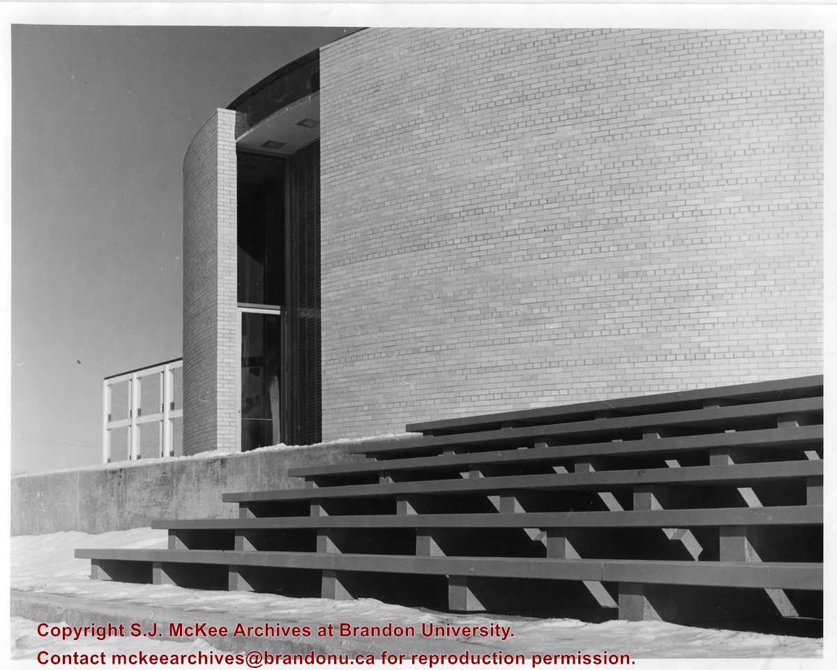
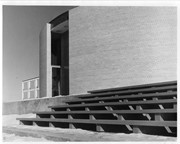
Photograph is looking northeast and shows the staircase at the rear of the J.R.C. Evans Lecture Theatre. Part of the A.E. McKenzie Building is visible in the background.
Images
Show Less