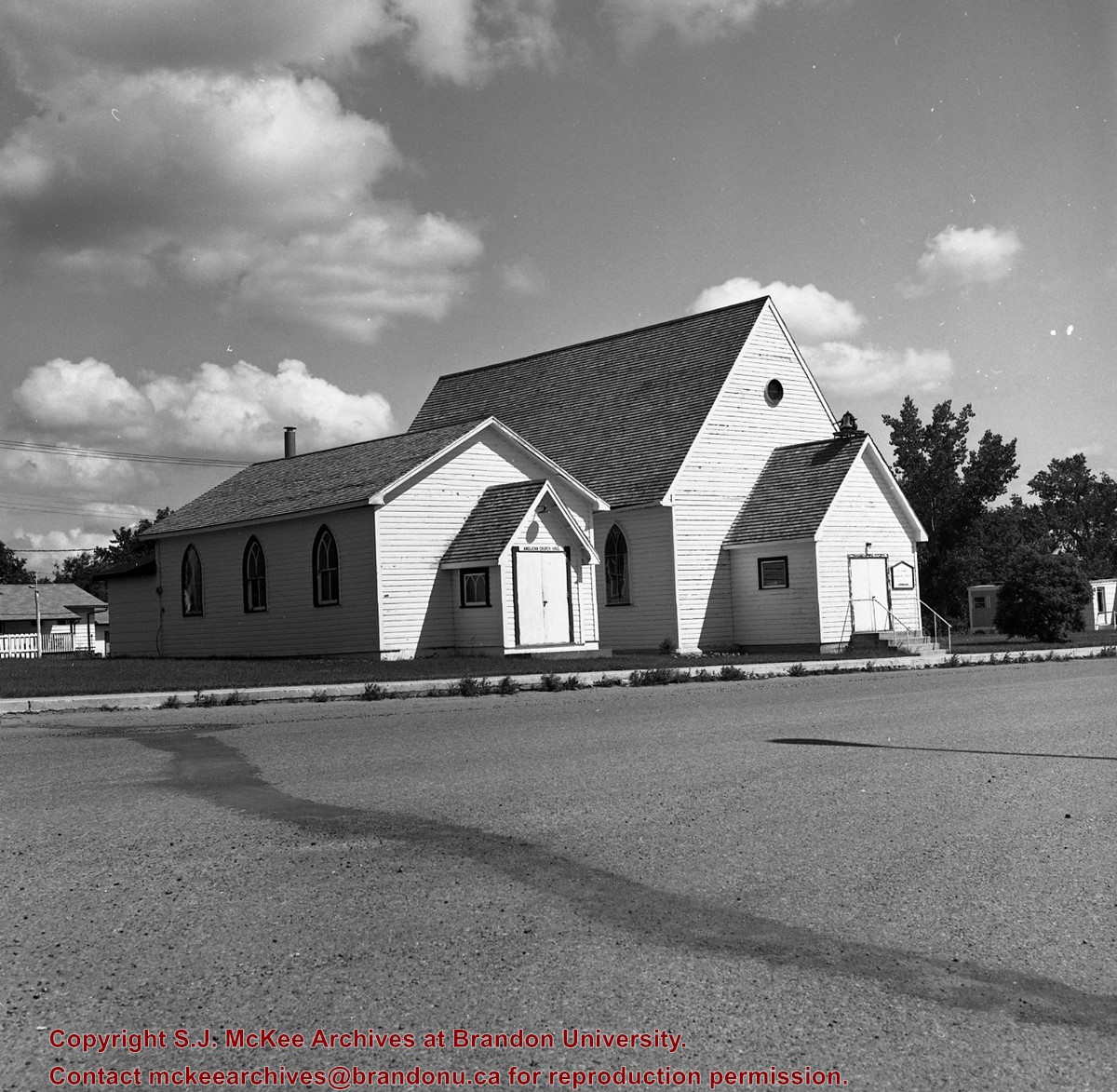
The name Berbank was created by combining the names of two local districts: Riverbank and Bertha. Both were located south of Brandon in the Rural Municipality of Oakland. The Berbank Church was built in 1919. Its construction grew out of the work of the Berbank Red Cross founded in 1917. The Berbank Church was a "union" church, constructed in anticipation of the formation of the United Church of Canada. In 1966, the Berbank congregation joined with the Nesbitt congregation to operate out of the Nesbitt United Church. The final service at the Berbank United Church was held in 1966.
Custodial History
This fonds was accessioned by the McKee Archives in 1997. Prior custodial history is unknown.
Scope and Content
Fonds contains a document titled "Berbank Church History." This document is partially in a printed format with a portion handwritten. Fonds also contains minute books and legal documents pertaining to the ownership of the land upon which the Church was constructed.
For custodial history see the collection level description of the Lawrence Stuckey collection.
Scope and Content
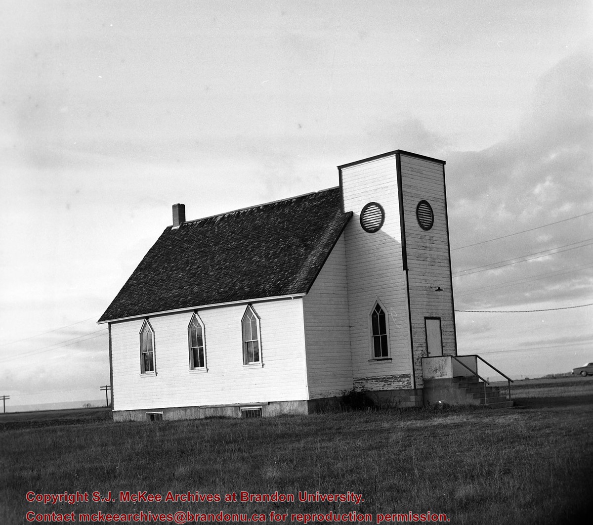
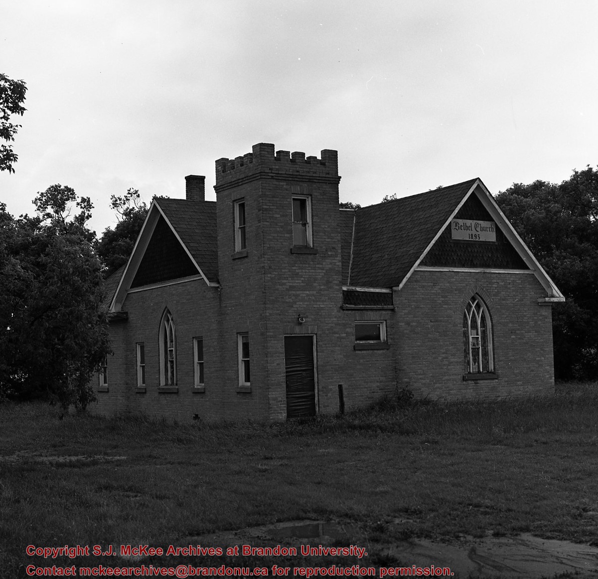
Image of Bethel Church (1895) on Highways 2 & 21 west of Deleau, Manitoba.
Notes
[Brandon SW includes communities south of Trans-Canada #1 highway and west of PTH #10.] [Images 349a and 349b are images of the exterior of the church, and images 349c-349-e are images of the stained glass windows.]
For custodial history see the collection level description of the Lawrence Stuckey collection.
Scope and Content
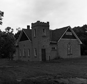
Image of Bethel Church (1895) on Highways 2 & 21 west of Deleau, Manitoba.
Notes
[Brandon SW includes communities south of Trans-Canada #1 highway and west of PTH #10.] [Images 349a and 349b are images of the exterior of the church, and images 349c-349-e are images of the stained glass windows.]
For custodial history see the collection level description of the Lawrence Stuckey collection.
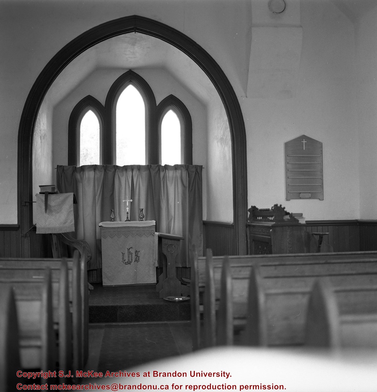
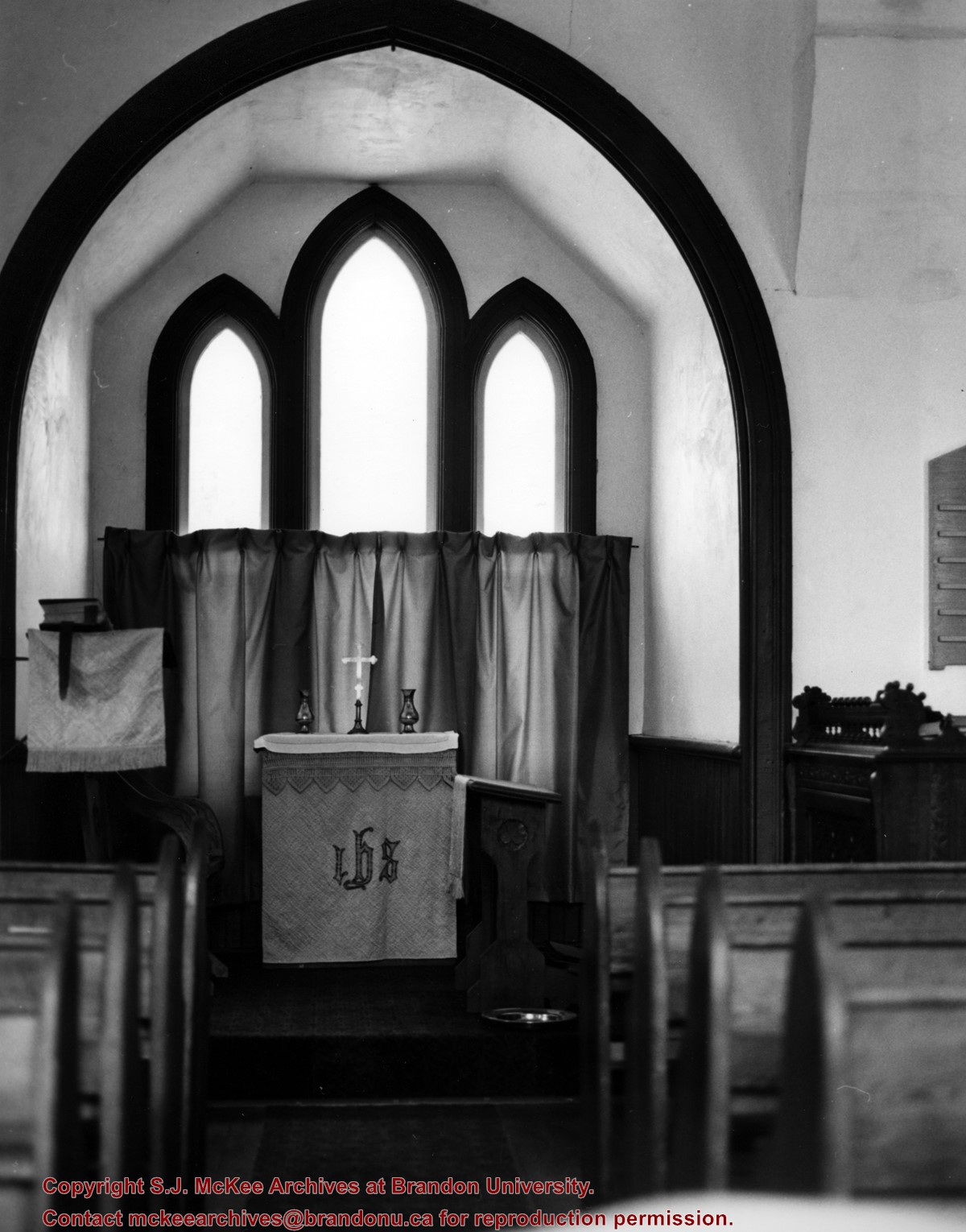
Scope and Content
Image of Bethel Church (1895) on Highways 2 & 21 west of Deleau, Manitoba.
Notes
[Brandon SW includes communities south of Trans-Canada #1 highway and west of PTH #10.] [Images 349a and 349b are images of the exterior of the church, and images 349c-349-e are images of the stained glass windows.]
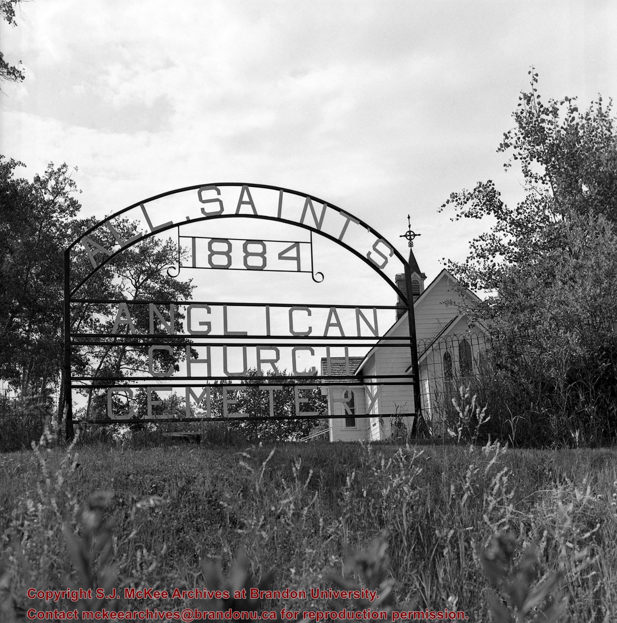
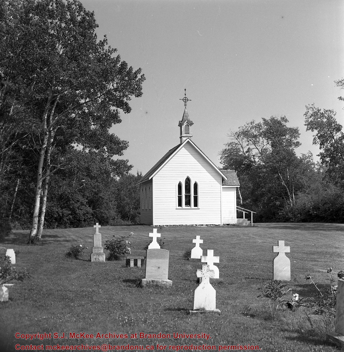
The book of common prayer and administration of the sacraments, and other rites and ceremonies of the church according to the use of the Church of England : together with the Psalter or Psalms of David, pointed as they are to be sung or said in Churches, and the form or manner of making, ordaining and consecrating of bishops, priests and deacons
For custodial history see the collection level description of the Lawrence Stuckey collection.
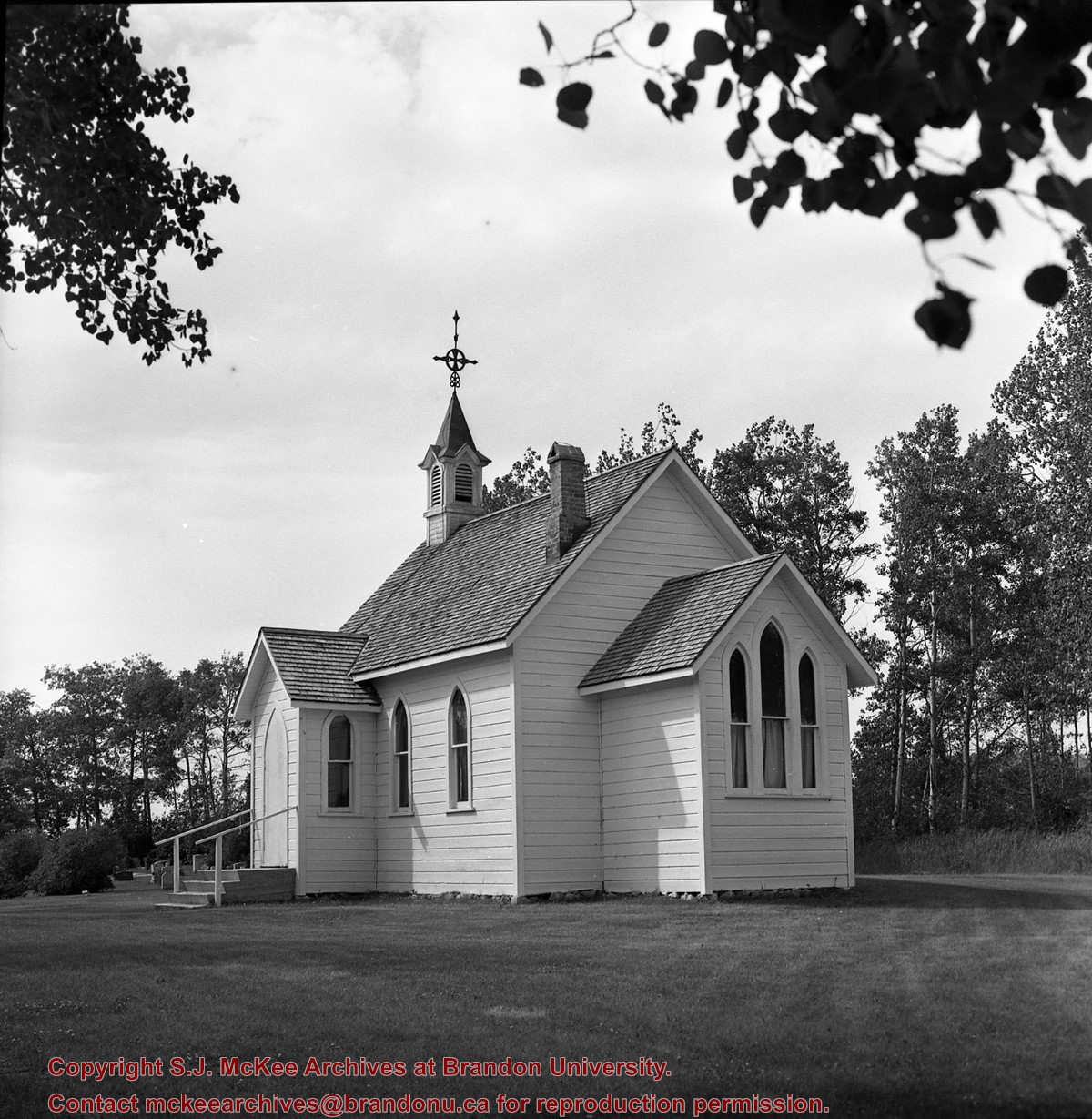
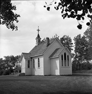
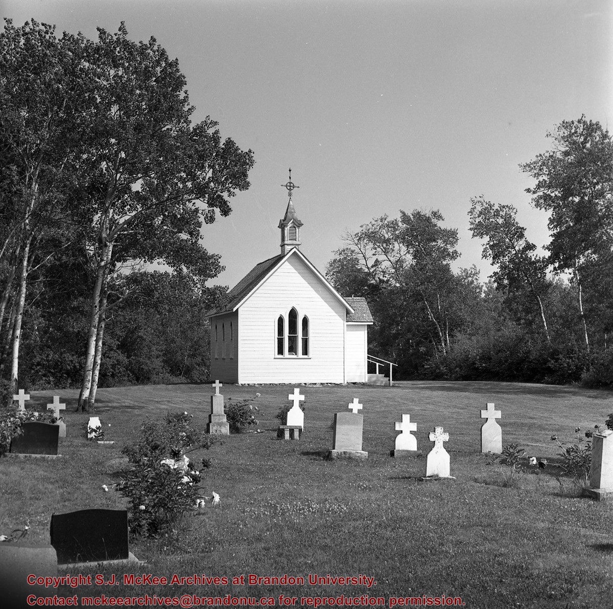
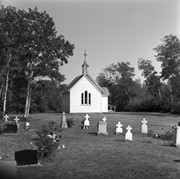
Scope and Content
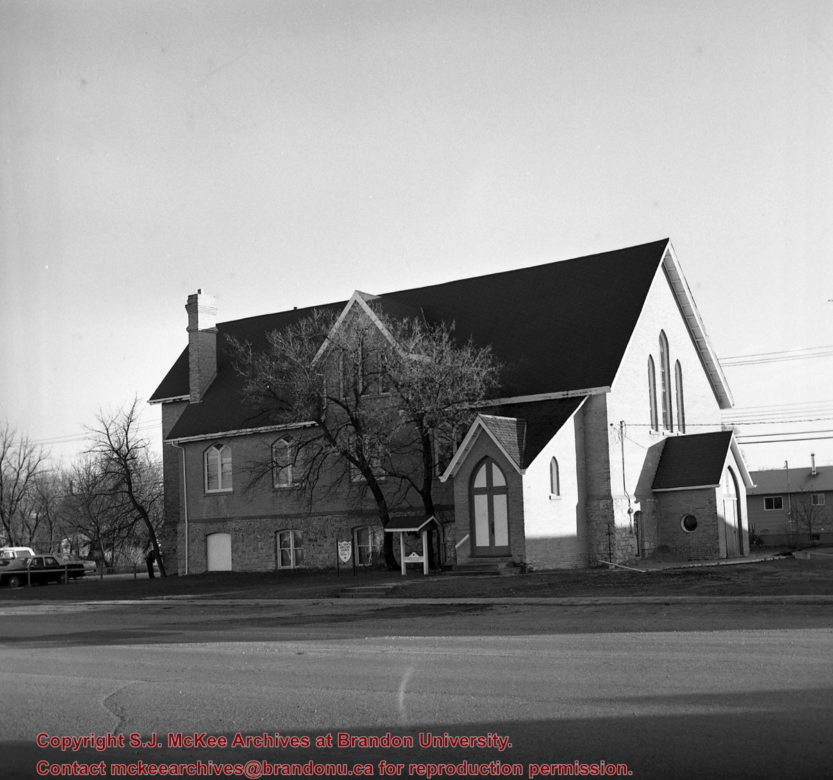
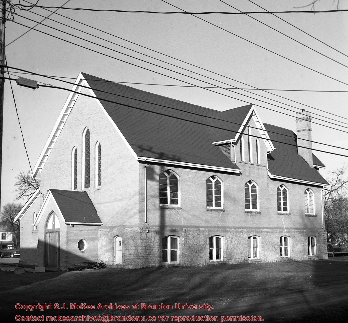
Brandon Hills Church
Notes
View from northwest showing part of cemetery. Best neg.
[Mr. Stuckey had taped a print to the outside of the envelope. We have separated the negative and the print, numbering them OA3(1) and OA3(1a) respectively.]


.jpg?width=1200&404=no-img.jpg&watermark=wmk)
.jpg?width=180&404=no-img.jpg)
%2c+Gladstone%2c+Manitoba%0a)
%2c+Gladstone%2c+Manitoba%0a)
+on+Highway+2-21+near+Hartney+Junction)
+on+Highways++2+%26+21+west+of+Deleau%2c+Manitoba.)
+on+Highways++2+%26+21+west+of+Deleau%2c+Manitoba.)
+on+Highways++2+%26+21+west+of+Deleau%2c+Manitoba.)
+on+Highways++2+%26+21+west+of+Deleau%2c+Manitoba.)
+on+Highways++2+%26+21+west+of+Deleau%2c+Manitoba.)
.jpg%3fmaxheight%3d1000%26maxwidth%3d1000%26watermark%3dwmk&description=Brandon+Hills+Church)