Gerry Beaubier was born in Wainwright, Alberta to Beatty and Babe Beaubier. He completed his high school in Saskatoon, before receiving a BSc in Geography from Brandon University.
Before attending university Gerry served in the army as a special reserve, while working as a night clerk at the Bessbourough Hotel in Saskatoon. His post-graduate career consisted primarily of work for Canada Agriculture, under the PFRA Branch (Prairie Farm Rehabilitation Administration). Later he would work as an Executive Manager, helping develop forage and range management programs for several post secondary schools, including, Assiniboine Community College, as well as schools in Red Deer, Lethbridge, and Saskatoon.
Gerry Beaubier married Joyce Abercrombie, of Saskatoon. Together they had two sons: Neil and Dean. Neil, an Account Advisor for the Royal Bank, was born in Regina, and currently works in Swift Current. Dean was born in Swift Current, received his PhD in Education and currently lives in Forrest working at Elton Collegiate.
The Beaubiers, who were originally from Ireland, emigrated to the Canadian West, making Gerry part of the fourth generation of his family to call the region home. His great-grandfather, along with his grandfather and great uncle were amongst the first one hundred settlers in Brandon. Together they first built the Beaubier House, a boarding house for early settlers and travellers. After it burnt down they began construction on the Beaubier Hotel, which stood at the corner of 8th Street and Princess Avenue in Brandon until August 17th, 2008. His grandfather, David Wilson Beaubier, continued to build and operate hotels throughout the prairies, including the Empire Hotels (of Brandon and Saskatoon) and The Park (Moose Jaw).
David Wilson Beaubier served as a secretary of the Orange Lodge of Manitoba. As an Orange Lodge Colonel, he worked with other Orange Lodge members, to recruit throughout the prairies for the purpose of World War One. For his efforts , David was promoted to Leftenant Colonel, and later Captain of the 99th Manitoba Rangers. David's sons (Gerry’s father, at University of Manitoba, and uncle at McGill), were both working towards undergraduate degrees when war broke out in 1914, and each would leave school to join their father at Camp Hughes.
Custodial History
Gerry Beaubier collected these photos primarily in the years 2000-2011, largely
from family and friends who knew of his interest in the topic. They were donated to the S.J. Mckee Archives in 2011.
Scope and Content
Collection consists of digital photographs of those who trained for battle in World War I at Camp Hughes and in Brandon, Manitoba. It also includes a digital copy of the cover of the Nominal Roll of Officers, Non-Commissioned Officers and Men, who departed from Brandon in 1917.
The photos, taken primarily at Camp Hughes, are of a number of battalions, including the 34th, 100th, 108th, 181st and 214th. The photo, PT in England, is a postcard sent home from Beaty Beaubier. The Massey Harris building seen on the right side of, WW1 B parade0001, was used to house troops throughout the war. The man standing alone at the front of the parade in, 181 Parade, is David Wilson Beaubier.
Notes
Information for the biographical and custodial histories was provided by Gerry Beaubier on September 25, 2013. Description by Dustin Lane (October 2013).
Donkersloot began working at Brandon University in 1970/1971 as the Clerk of Works. From 1973 until his retirement, he was the Director of Physical Plant.
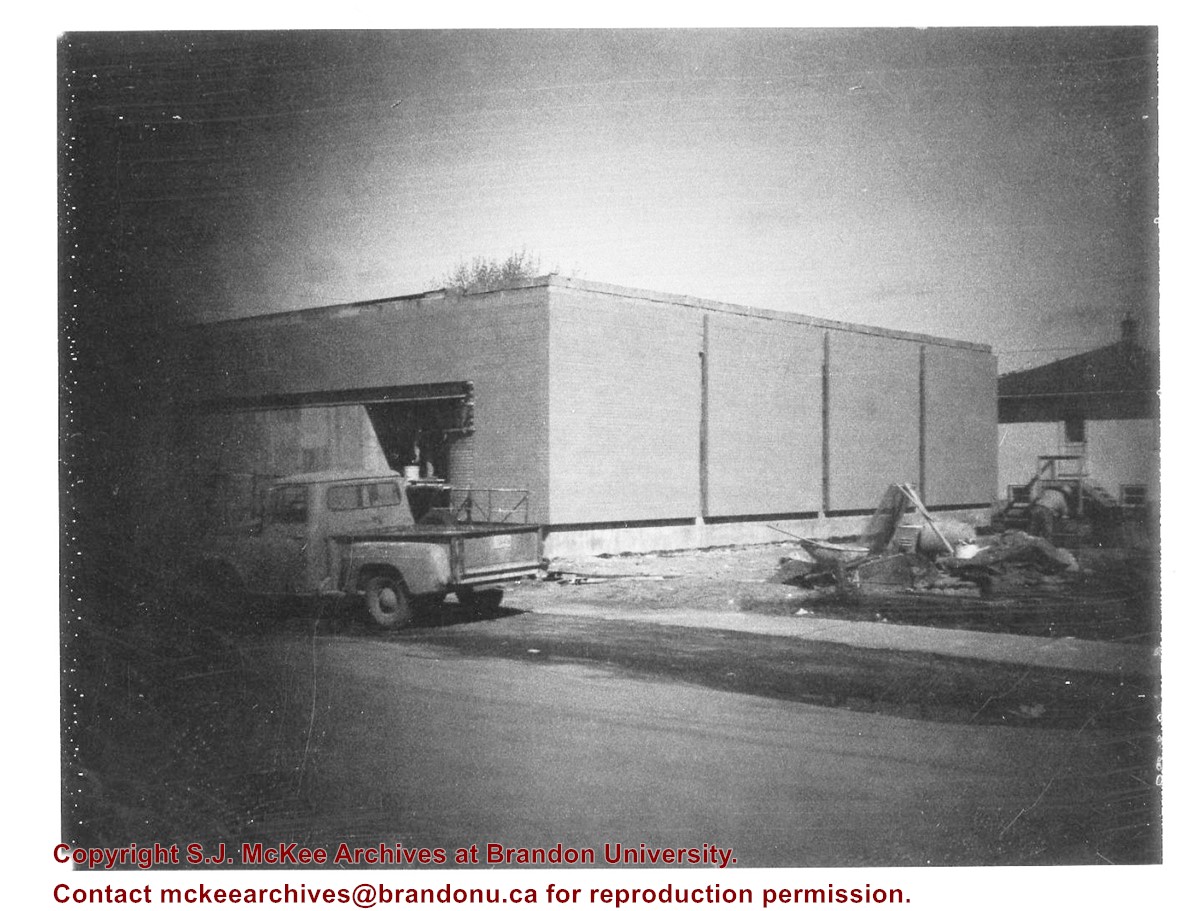
The Site Services building was built in 1971.
Custodial History
Photograph was taken by Tom Donkersloot during construction and stored in albums in the Physical Plant H-Hut until they were transfered to the McKee Archives by Doug Duncalf in May 2008.
Scope and Content
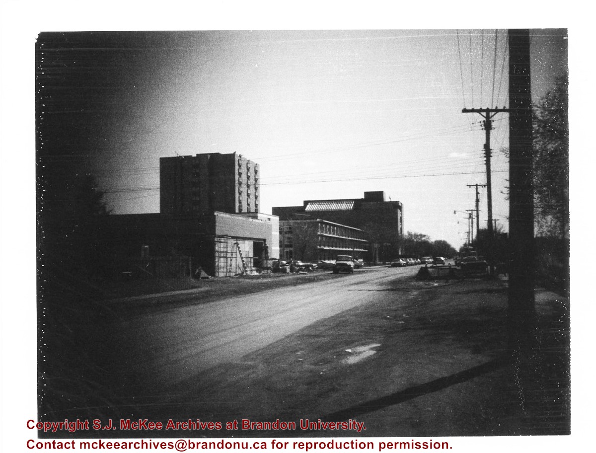
Photograph shows construction of Brandon University's Site Services Building located on Louise Avenue at the corner of 20th Street. Also visible are McMaster Hall, Flora Cowan Women's Residence and the John R. Brodie Science Centre. Photograph is looking east/northeast from approximately 21st Street.
Notes
Donkersloot recorded the date and time each photograph was taken on the back of the photos.
Donkersloot began working at Brandon University in 1970/1971 as the Clerk of Works. From 1973 until his retirement, he was the Director of Physical Plant.
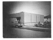
The Site Services Building was built in 1971.
Custodial History
Photograph was taken by Tom Donkersloot during construction and stored in albums in the Physical Plant H-Hut until they were transfered to the McKee Archives by Doug Duncalf in May 2008.
Scope and Content
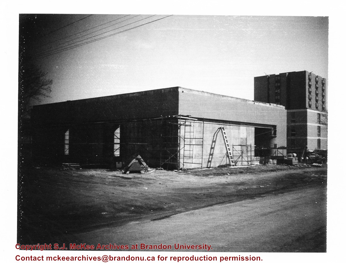
Photograph shows construction of Brandon University's Site Services Building located on Louise Avenue at the corner of 20th Street. Also visible are McMaster Hall and part of Darrach Hall. Photograph is looking northeast.
Notes
Donkersloot recorded the date and time each photograph was taken on the back of the photos.
Donkersloot began working at Brandon University in 1970/1971 as the Clerk of Works. From 1973 until his retirement, he was the Director of Physical Plant.
The Site Services Building was built in 1971.
Custodial History
Photograph was taken by Tom Donkersloot during construction and stored in albums in the Physical Plant H-Hut until they were transfered to the McKee Archives by Doug Duncalf in May 2008.
Scope and Content
Photograph shows construction of Brandon University's Site Services Building located on Louise Avenue at the corner of 20th Street. Photograph is looking northwest.
Notes
Donkersloot recorded the date and time each photograph was taken on the back of the photos.
Introduction
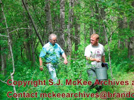
Information on archaeological materials in this locale first came to the attention of Dr. Nicholson through Doug Jackson, a local artifact collector from Souris. Doug had observed archaeological materials that included bone, ceramics and lithic material that had been exposed by municipal road building activity, northwest of Lauder Manitoba
Environment
The Makotchi-Ded Dontipi locale is located among stabilized sand dunes in the Lauder Sandhills in Southwestern Manitoba, northwest of the village of Lauder. The area is a mosaic of medium grass prairie and copses of aspen poplar and aspen-oak, together with intermittent sedge grass marshes and small ponds. These wetlands are bordered with balsam poplar, water birch, willows and red osier dogwood.
The well-drained upland forest also contains saskatoon, chokecherry, wild current, hazelnut bushes and occasional wild plums. Lowland areas have nannyberries and high-bush cranberry. Wild strawberries grow in lightly shaded areas along trail margins and in open patches in aspen forest.
History of Excavations
The Makotchi-Ded Dontipi locale is a virtual "island" of forest and marshlands in a vast expanse of mixed grass prairie. This archaeologically and environmentally rich area was given the Dakota name Makotchi-Ded Dontipi, meaning "the place where we live".
Summation
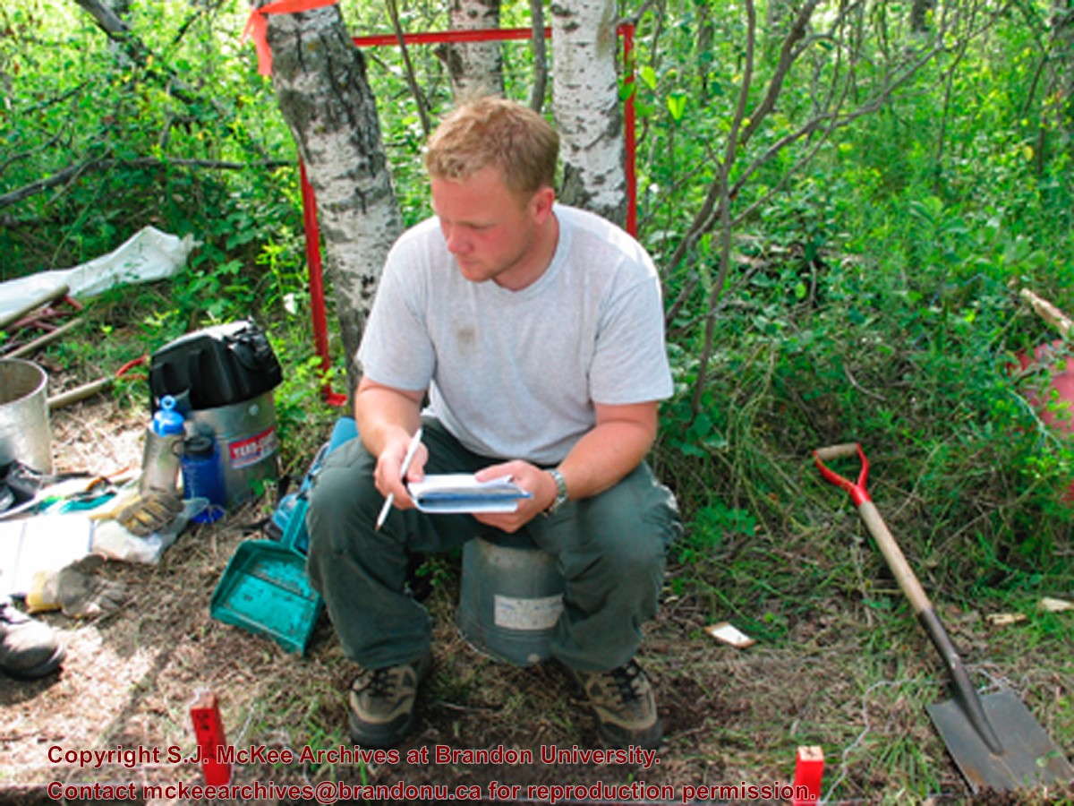
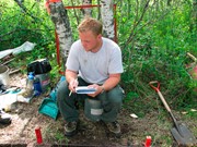
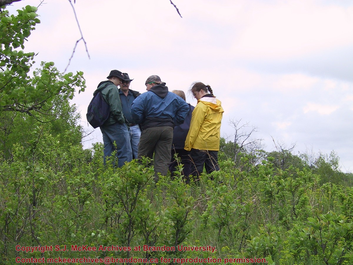
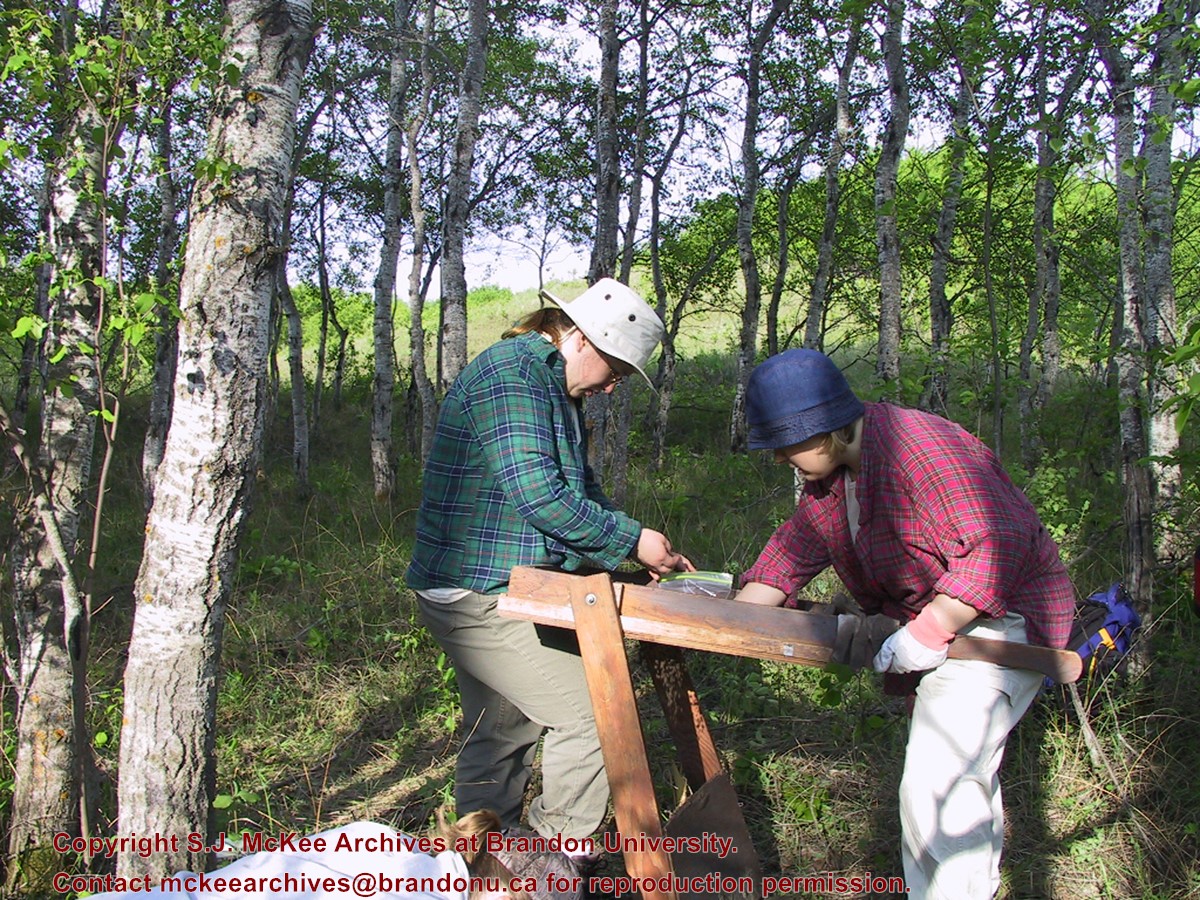
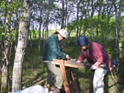
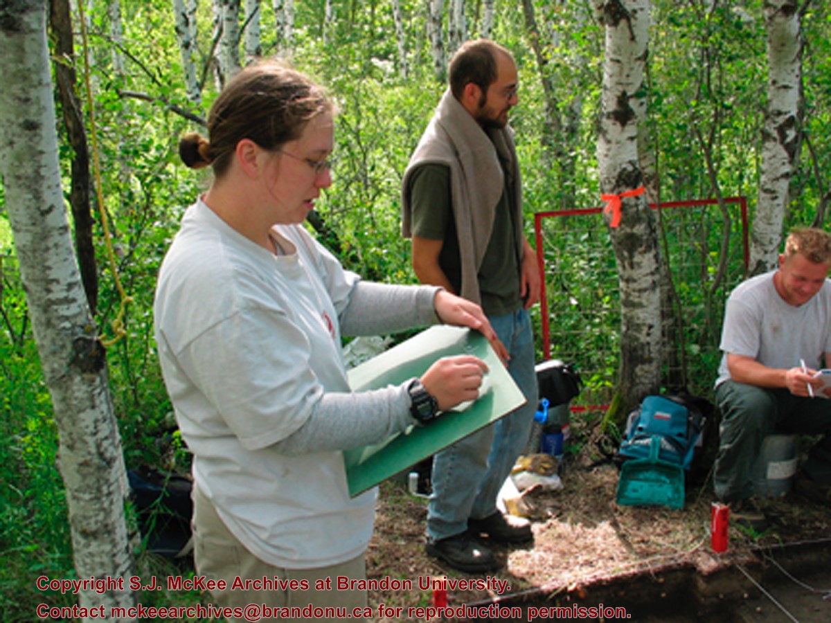
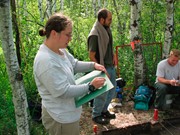
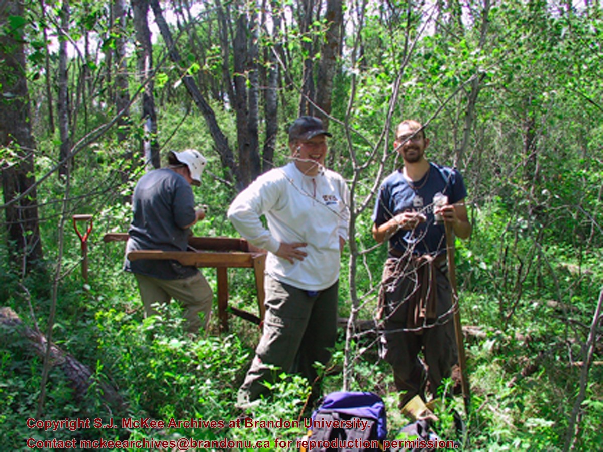
Prior to European settlement, the area was a rich environment for hunter-gatherer people. Archaeological investigations from 1992 to 2002 have revealed numerous sites within the locale. Some of these sites have been extensively excavated while others have been identified or tested.
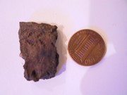
Seven sites that have been identified in this locale range in age from the historic through protohistoric periods and extend into the middle precontact period. The major sites are the initial Middle Missouri Duthie site, the late precontact Jackson, Bradshaw sites and the protohistoric Twin Fawns, Schuddemat and Hollow B sites. The multi-component Vera site includes historic Métis, late precontact Vickers Focus, and middle precontact Besant, Pelican Lake, McKean Complex and Oxbow occupations. Over 230 units were excavated as well as numerous test pits and several extensive surveys.
Scope and Content
Scope and Content
The Series has been divided into seven sub-series, including (1) Duthie site (2) Jackson site (3) Twin Fawns site (4) Vera site (5) Schuddemat site (6) Bradshaw site (7) Hollow B site.
The Duthie site is the first site identified in the Makotchi-Ded Dontipi locale. It was reported to Dr. Bev Nicholson by Doug Jackson, a local collector who had observed archaeological materials that had been exposed during the construction of Maple Hill Road northwest of Lauder. The site is named after the landowner, Randy Duthie.
The initial inspection of the exposed materials indicated that the eastern half of the site had been severely impacted by raising a road grade using an elevating grader. However, an undetermined amount of the site remained to the west, flanked by a low sand dune. Testing and preliminary excavations were conducted in 1992-93. In 1994 a field school added to the excavated sample. The undisturbed portion of the site, west of Maple Hill Road was situated at the base of a low sand dune and had an aspen and willow forest cover. The water table was approximately one meter below surface at the time of excavation. A rising water table has since prevented further excavations.
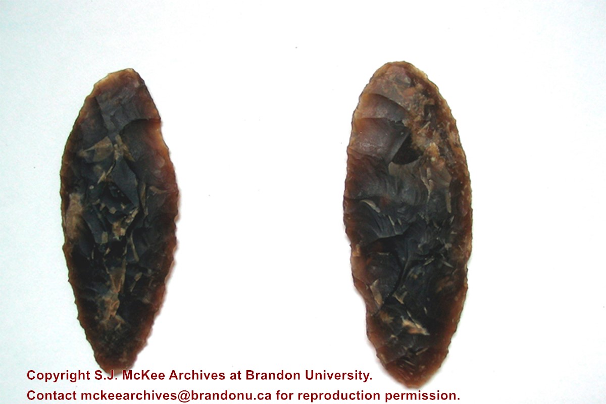
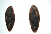
Two dates on bone collagen were obtained during excavations. These were 880+/-80 B.P. (Beta 62705) and 970+/-40 B.P. cal. 1030 A.D. (TO 13366). These dates are consistent with an Initial Middle Missouri cultural assignment. The site occupation is identified by the distinctive ceramics found there. Ceramics at the Duthie Site are tool impressed with incising and lip modeling with fabric impressions on most vessels. Jill Taylor analysed the ceramics from the site for a Specialist thesis, Brandon University (1994) and a Masters of Arts degree from the University of Saskatchewan. (Taylor 1995).
Analysis of residue from Duthie site pottery by Matthew Boyd recovered corn (Zea mays) phytoliths and bean (Phaseolus sp.) starch grains indicating consumption of these domesticates at the Duthie site. (Boyd 2006)
The occupation of this site indicates a migration of people from the south who were well acquainted with horticultural farming. These people had previously migrated to South Dakota following river valleys into the central plains from the eastern woodlands during late Hopewell times. It appears that they later migrated well to the north into southern Manitoba but there is no evidence that they remained there for more than a single year.
Boyd, M., C. Surette and B.A. Nicholson. 2006 Archaeobotanical Evidence of Prehistoric Maize (Zea mays) Consumption at the Northern Edge of the Great Plains. Journal of Archaeological Science 33: 1129-1140.
Taylor, J. 1994 An analysis of the ceramics recovered during 1992 and 1993 at the Precontact Duthie Site (DiMe-16). Specialist thesis, Brandon University.
Scope and Content
The Series has been divided into seven sub-series, including (1) Duthie site (2) Jackson site (3) Twin Fawns site (4) Vera site (5) Schuddemat site (6) Bradshaw site (7) Hollow B site.
Field journals have been scanned in multi-page PDF files.
History / Biographical
The Crepeele site was excavated in 2003 as Crepeele 3. Standard archaeological methods were used to excavate the units. Excavation units were initially numbered as units 10, 11, 12 & 13. These numbers have been changed on the catalogue to XU 110 – 113, due to duplication in 2005. Corresponding documents have been changed to reflect the amended excavation unit numbers, however the field journals may contain the initial numbers.
Scope and Content
Record of daily observations at the site including: excavation methods, items recovered, features, local environment and weather.


