Brandon College looking south from 19th Street. Photograph was taken after Flora Cowan Hall was built but before construction of the Education Building.
Image shows the Brandon College campus from 17th Street looking southwest. The photo was taken after the completion of the original Music Building in 1963, but construction of the Education Building. Also visible are a number of properties on the 200 block of 18th Street and the 200 block of 20th Street.
Image is looking east northeast from approximately the 300 block of 23rd Street between Lorne and Louise Avenues. Photograph shows the Brandon College campus after the opening of the original Music Building in 1963, but before the construction of the Education Building in 1966. A number of house on the 300 blocks of 22nd and 21st Streets are visible in the foreground, with the A.E. McKenzie Seed Co., the Prince Edward Hotel and various grain elevators on the horizon.
View is northeast, taken from the John R. Brodie Science Centre. Photograph shows: the Brandon College Building, the Student Services H-Hut, the Education Building, and the Student Union Building (Citizens' Science Building), as well as 18th Street and some houses. The trailer to the south of the Education Building was a Canada Manpower office in the 1960s. It was latter moved over by the Gymnasium, where it became the Quill office.
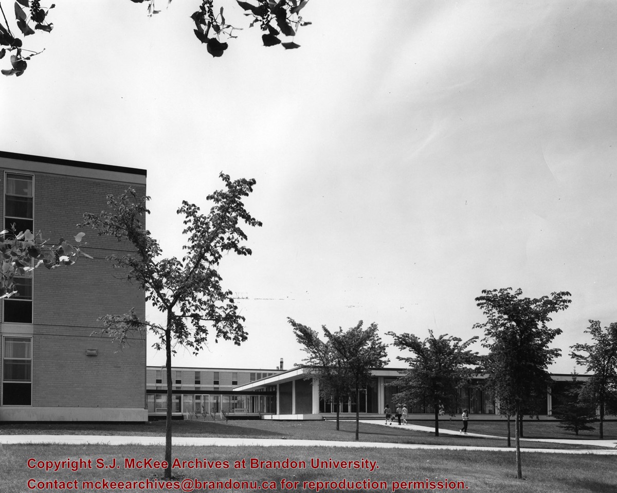
Photograph is looking west and shows the new Students' Residence Complex, consisting of Darrach Hall, Flora Cowan Hall, and the Main Dining Room, funded by the Central Mortgage & Housing Corporation. The grassy area in the photograph is now occupied by the John R. Brodie Science Centre and McMaster Hall.
See fonds level of the CKX records for custodial history.
Scope and Content
Image consists of an aerial view looking north at the intersection of Highways 1 and 10 and shows the British American dealer located at the intersection.
See fonds level of the CKX records for custodial history.
Scope and Content
Image consists of an aerial view looking southeast at the intersection of Highways 1 and 10 and shows the British American dealer located at the intersection.
See fonds level of the CKX records for custodial history.
Scope and Content
Image consists of an aerial view looking northeast at the intersection of Highways 1 and 10 and shows the British American dealer located at the intersection.
See fonds level of the CKX records for custodial history.
Scope and Content
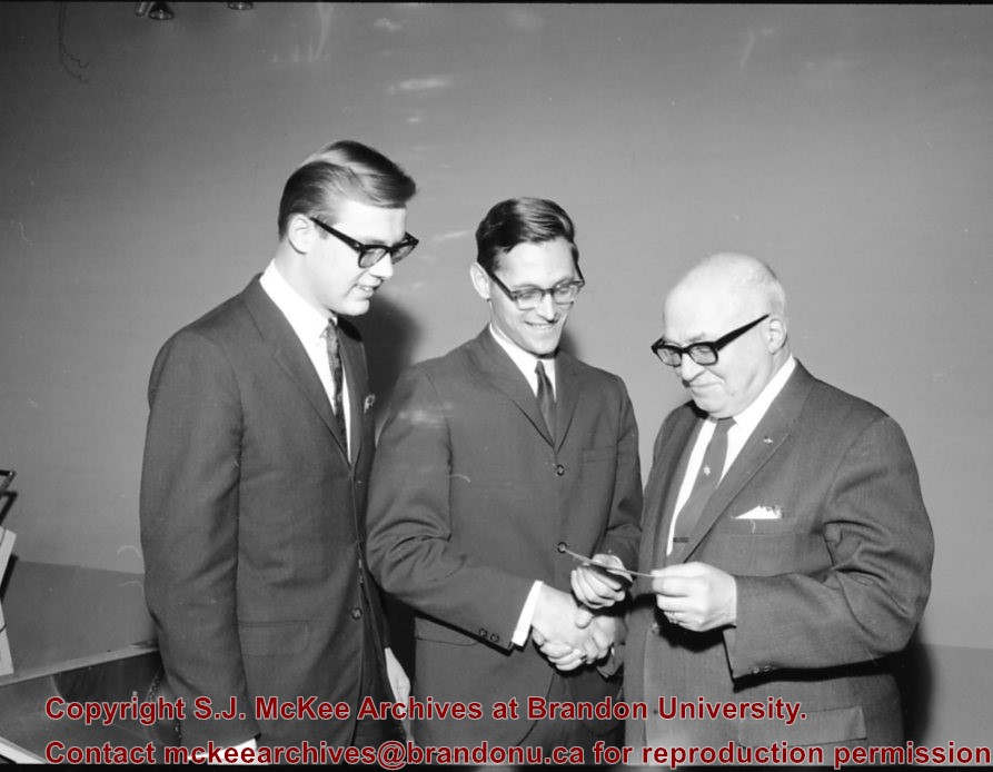
Image of a presentation to the Central Auditorium from representatives of the Brandon College Students' Association presentation to Mayor Stephen Magnacca.


