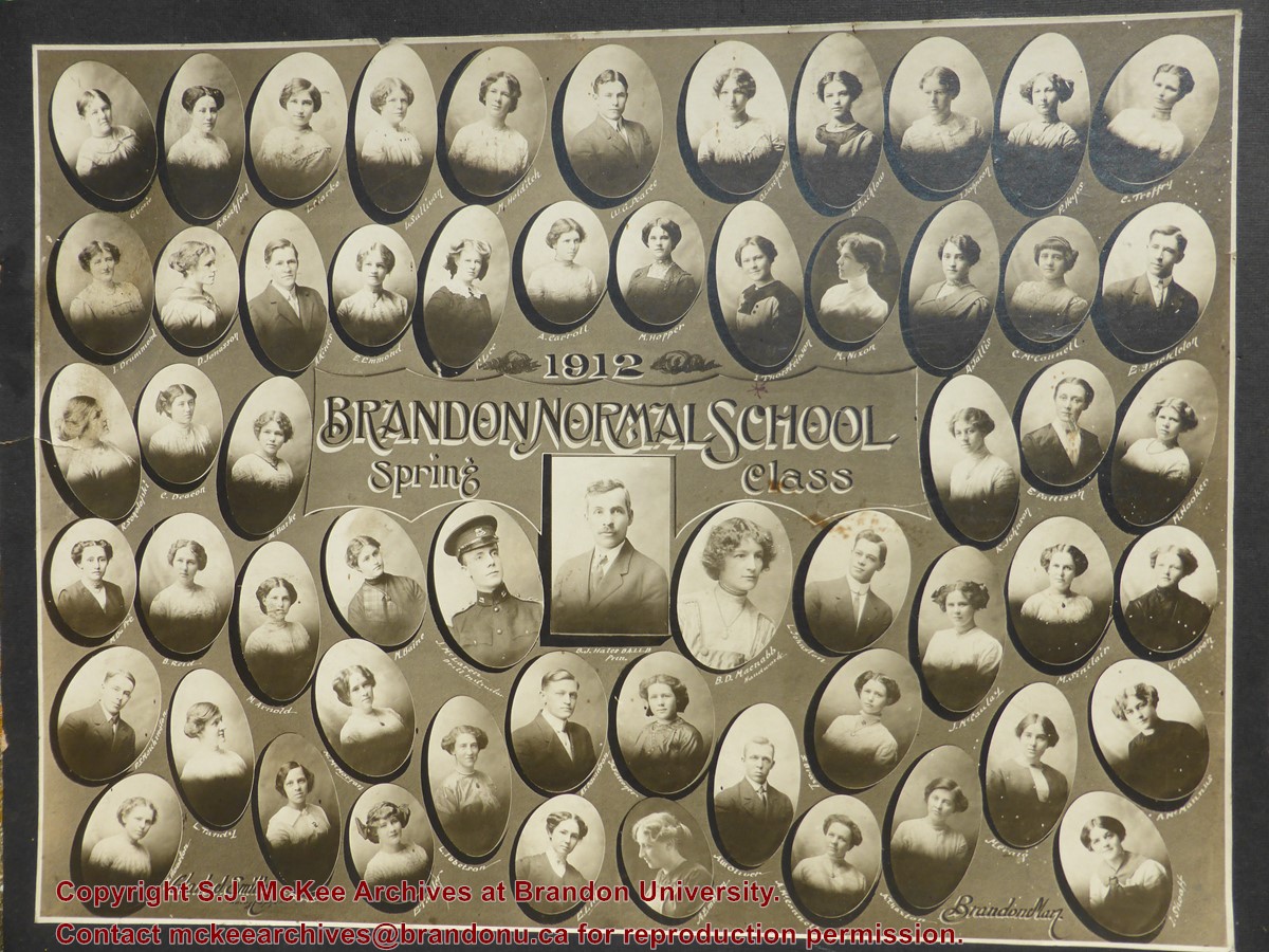
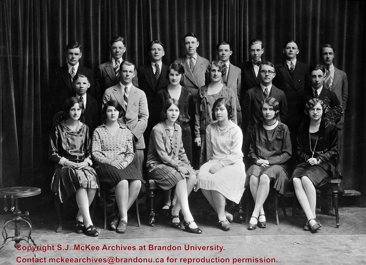
The original photograph remains in the custody of the donor, who scanned the digital copy and sent it to the McKee Archives in 2014. The donor's paternal grandmother graduated from Brandon Normal School in the Spring of 1912.
Scope and Content
Portrait of the students of Brandon Normal School Spring 1912 class.
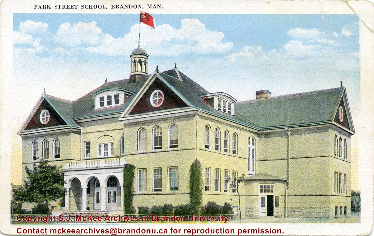
Located south of Stanley Park along the 1400 block of Lorne Avenue, Park School was constructed in 1904. Designed by W.A. Elliot and built by the Brandon Construction Company the structure measured 71 x 107 feet and cost approximately $38,000.
The school featured a principal’s office, reception room, staff rooms, an assembly hall for eight hundred, and ten class rooms. The interior walls were lined with mahogany while the floors were made of western pine. The interior of the basement was constructed from Tyndall stone, while Crookston brick trimmed with Bedford stone made up the exterior.
The building was razed in September 1978. Hobbes Manor was built on the location.
Scope and Content
Item is a postcard showing Park School in Brandon, MB.
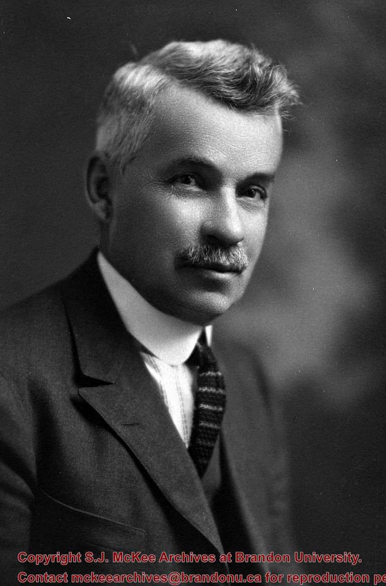
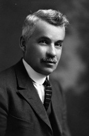
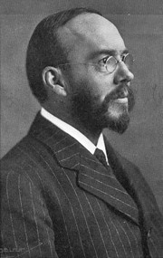
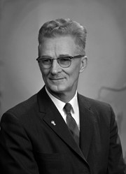
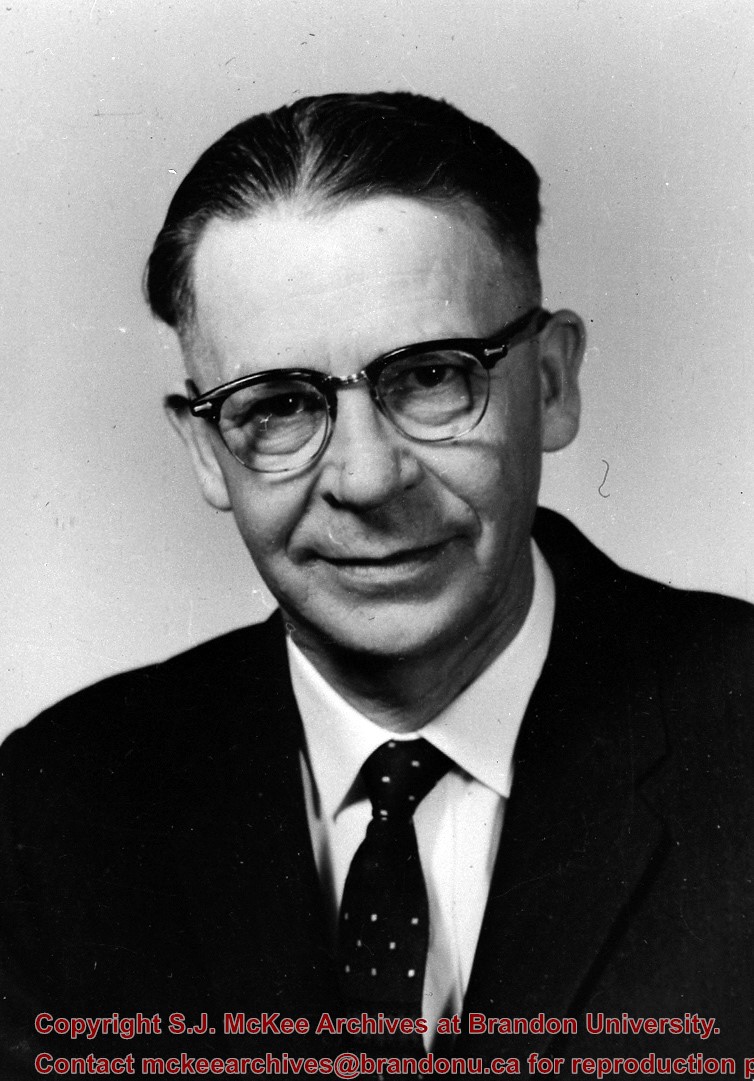
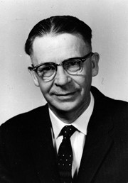
Principal of Normal School 1913-1938; author of Hales' Botany text.
His collection of mounted birds and animals - what was left of it after improper storage in various places, damage and dispersals - found a home as the B.J. Hales Natural History Museum at Brandon College in 1965.
Custodial History
For custodial history see the collection level description of the Lawrence Stuckey collection.
[St. Joseph’s Academy provided education to the children of Brandon’s Catholic community and was overseen by its own Catholic school board. Many non-secular school boards would be eliminated in Manitoba in 1890. (Mitchell, T. 1986. In the Image of Ontario: Public Schools in Brandon 1881-1890. Manitoba History, Number 12, Autumn 1986)]
Custodial History
For custodial history see the collection level description of the Lawrence Stuckey collection.
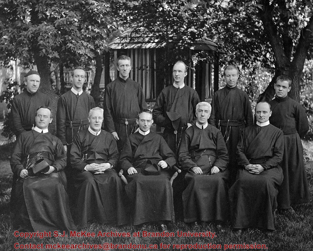
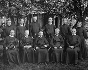
Scope and Content
Teaching Fathers of St. Joseph's Academy
Notes
St. Joseph's Academy was built 1883, closed 1895; Copy neg.; From St. Michael's Academy Collection
The Snye was a former channel (oxbow lake) of the Assiniboine River. It was located south of the Assiniboine between about 14th and 24th Streets, and during high water in the spring it carried overflow. For many years it was used as a log storage area for Hanbury's Mill. I remember there being bridges over it at 18th & 22nd Streets. It was dammed with a one way flipper valve at 14th Street that allowed water to flow out to the river, but prevented river water backing into it. Water within the Snye became stagnant in summer and formed a breeding area for mosquitoes. It was deemed a health hazard and the river was gradually filled in. LAS.
Custodial History
For custodial history see the collection level description of the Lawrence Stuckey collection.
Scope and Content
Snye River
Notes
[This negative was produced using a previous published image. P.E. 22/07/09]
Additional historical information provided by the Fred McGuinness collection (20-2009).
Due to the increasing volume of long-distance auto traffic in the 1920's, the city designated the block between Hill & Queen's Avenues and 9th & 10th streets as a "Tourist Camp" with a few basic facilities. LAS.
Custodial History
For custodial history see the collection level description of the Lawrence Stuckey collection.
Scope and Content
First Tourist Camp
Notes
Courtesy of the Brandon Sun
[Mr. Stuckey put two negatives in the same envelope, numbered N4 and N4a. We have separated them.]
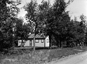
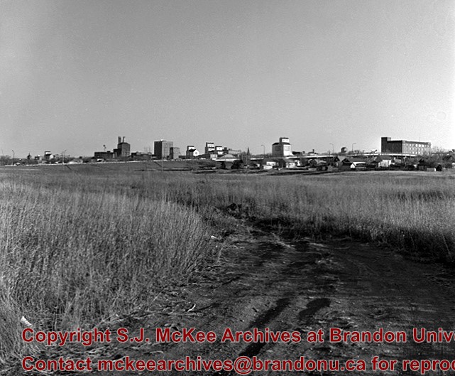
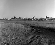
For custodial history see the collection level description of the Lawrence Stuckey collection.
Scope and Content
Stanley Park from old PC.
Notes
Shows bandstand
[By "PC" Mr. Stuckey likely meant to indicate Park School (built 1904, demolished 1978). Park School was, at the time the photo was taken, located directly across Lorne Avenue from Stanley Park. P.E. 22/07/09]
This wedge-shaped tract of woodland was located west of 34th Street on the south side of the Canadian Pacific Railway. It was formerly owned by the Great Northern Railway, and was acquired by the CPR when the GN line was abandoned in 1936. In 1978 Marathon Realty (CPR) sold this 7 acre property to a developer who planned to build condominiums. However this residential development was objected to for two reasons: [The proposed location] was home to many species of flora & fauna, and it was too close to the CPR mainline. Local residents took out a petition against the development. [Mr. Stuckey] wrote a letter to the editor of the Brandon Sun, [expressing the] attitudes of CPR officials, and read a statement to the Provincial Planning Board suggesting development be refused and the area become an undeveloped park. These efforts would prove successful - see file on same.
Custodial History
For custodial history see the collection level description of the Lawrence Stuckey collection.
Scope and Content
John Indian's Bush (also known as Bang's Bush)
Notes
Additional historical information provided by the Fred McGuinness collection (20-2009). Stuckey's letter to the editor appears in the July 22, 1978 issue of The Brandon Sun.


.jpg?width=1200&404=no-img.jpg&watermark=wmk)
.jpg?width=180&404=no-img.jpg)
.jpg%3fmaxheight%3d1000%26maxwidth%3d1000%26watermark%3dwmk&description=John+Indian%27s+Bush)