See fonds level of the CKX records for custodial history.
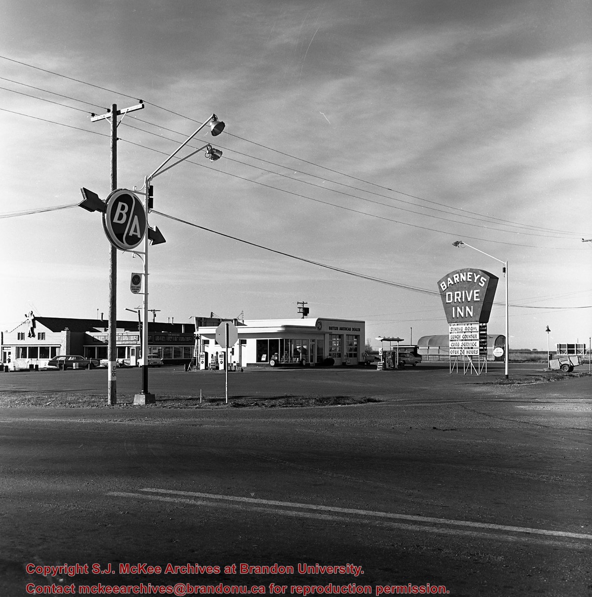
Scope and Content
Image consists of an aerial view looking southeast at the intersection of Highways 1 and 10 and shows the British American dealer located at the intersection.
See fonds level of the CKX records for custodial history.
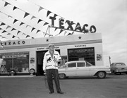
Scope and Content
Image consists of an aerial view looking northeast at the intersection of Highways 1 and 10 and shows the British American dealer located at the intersection.
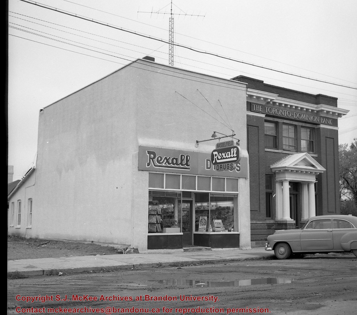
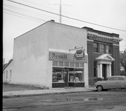
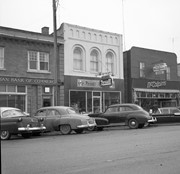
See fonds level of the CKX records for custodial history.
Scope and Content
Image of the southside of the 1000 and 1100 block of Rosser Avenue looking east in winter. Visible in the foregraound are O.L. Harwood Ltd., and the Key Kafe. Buildings in the 1000 block include: the Imperial Bank of Canada, the original Post Office and Federal Building and the original Merchants Bank. A number of pedestrians are also visible, as are Christmas decorations on the streetlights and telephone poles.
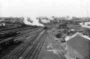
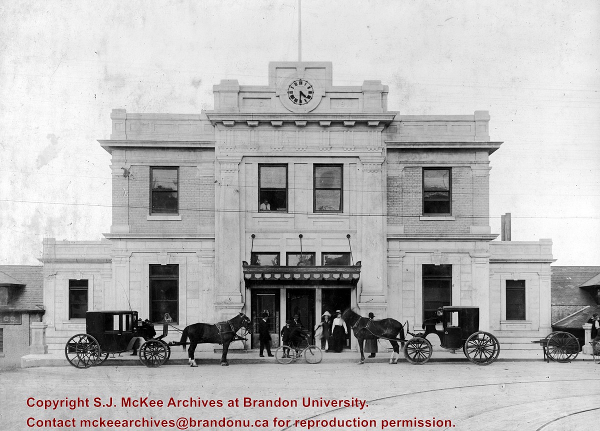
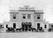
The 1911 station, shown in this photograph, was annexed to the old station by a breezeway. Addition architectural information is available in the Assiboine Historical Society's Brandon: An Architectural Walking Tour pamphlet (1982).
Custodial History
See fonds level description of the Alf Fowler collection for custodial history.
Scope and Content
Photo is looking north from 10th Street and shows the front of the Canadian Pacific Railway depot, located on the northside of Pacific Avenue. A number of people and vehicles a visible in front of the building.
Notes
History/Bio information taken from the Assiboine Historical Society's Brandon: An Architectural Walking Tour pamphlet (1982).
Storage Range
RG 5 Western Manitoba Manuscript collection - photograph storage drawer


)
)
)
)
)
)