This negative provides an excellent view of Rosser Avenue (looking east from 10th Street) in the early 20th century, and shows one of the first runs for Brandon's streetcar system.
This image was used as the cover image for Lee Clark's Brandon's Politics & Politicians.
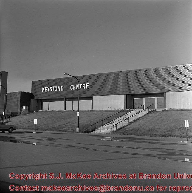
Custodial History
For custodial history see the collection level description of the Lawrence Stuckey collection.
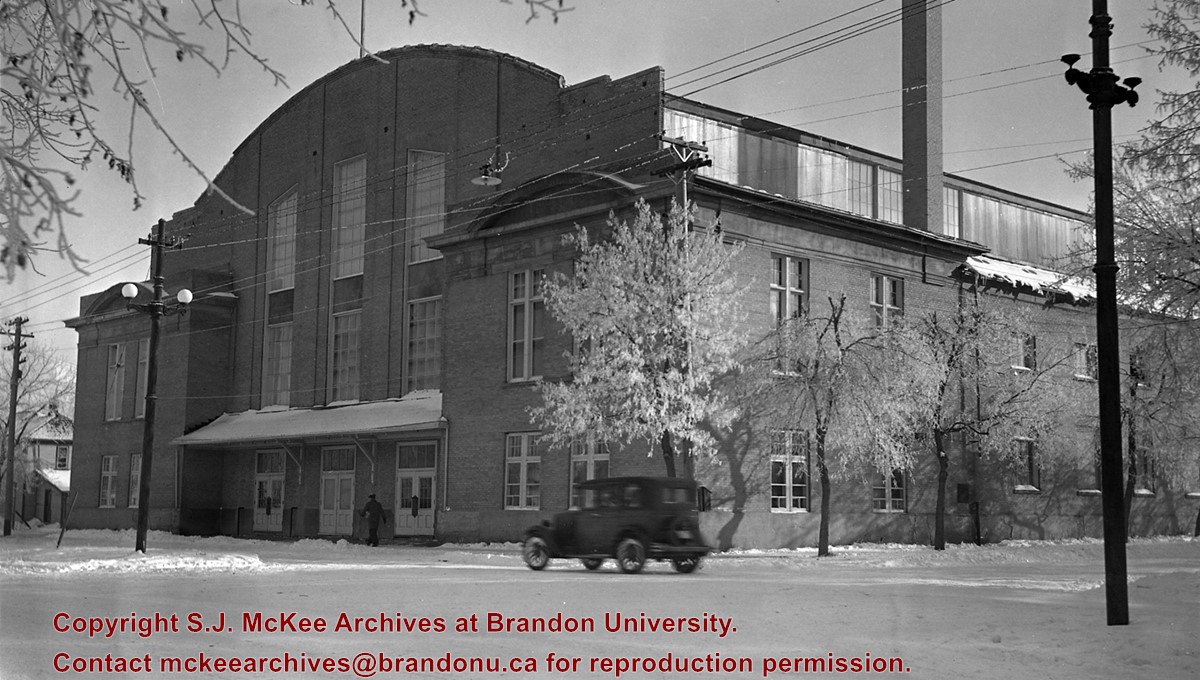
Due to the increasing volume of long-distance auto traffic in the 1920's, the city designated the block between Hill & Queen's Avenues and 9th & 10th streets as a "Tourist Camp" with a few basic facilities. After the demise of the Brandon Municipal Railway, several of the old car bodies were placed in the Tourist Camp to be used as cooking & eating shelters. Some may have had sleeping accommodations. Later (ca. 1938?) several were placed in a row along the south side of Victoria Avenue, approximately 28th or 29th St, and were used as the city's first drive-in hamburger place, "The Train Drive-in". This, I believe, only lasted one or two summer seasons. LAS.
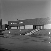
Custodial History
For custodial history see the collection level description of the Lawrence Stuckey collection.
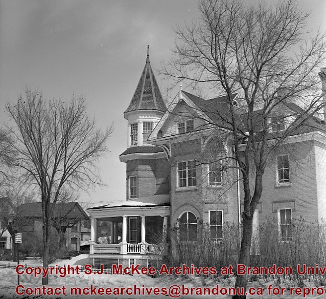
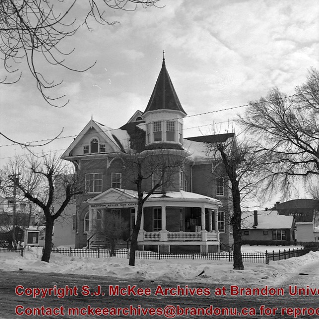
Former home of J.E. Smith, early farmer, horse breeder and businessman - died 1919. Became city property. To Allied Arts Council 1950's. Arts Centre moved to former Co-op Store, 600 block of Princess Ave. 1984.
[In 2000, the renamed Art Gallery of Southwestern Manitoba moved to the former Eaton’s building attached to The Town Centre (former Gallery Mall). P.E. 05/06/09]
Custodial History
For custodial history see the collection level description of the Lawrence Stuckey collection.
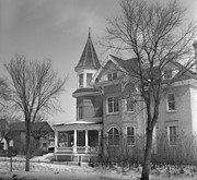
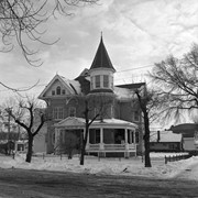
Former home of J.E. Smith, early farmer, horse breeder and businessman - died 1919. Became city property. To Allied Arts Council 1950's. Arts Centre moved to former Co-op Store, 600 block of Princess Ave. 1984.
[In 2000, the renamed Art Gallery of Southwestern Manitoba moved to the former Eaton’s building attached to The Town Centre (former Gallery Mall). P.E. 05/06/09]
Custodial History
For custodial history see the collection level description of the Lawrence Stuckey collection.
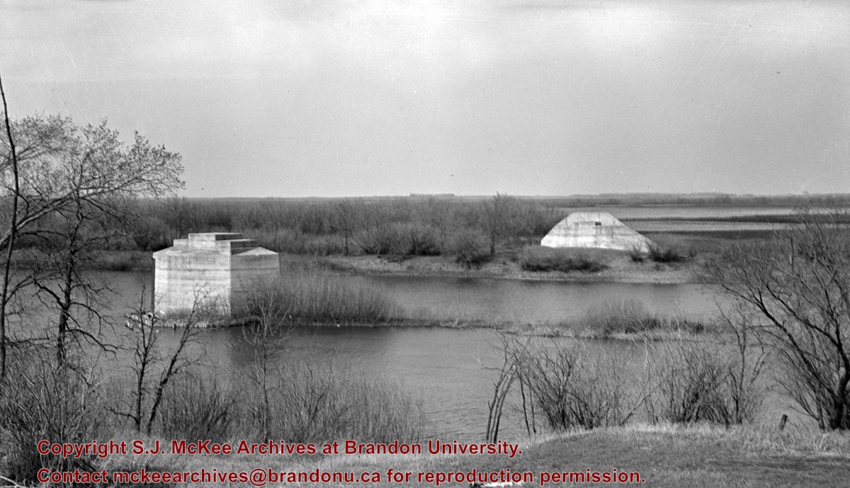
This bridge was condemned in the late 1930s but cyclists continued to use it until it was torn down (approximately 1940)
Until the early 1920s the Canadian Pacific Railway maintained a well and pumping station near the southeast corner of this bridge, which pumped water through a pipeline to a locomotive watering tank at Kemnay.
Custodial History
For custodial history see the collection level description of the Lawrence Stuckey collection.
Scope and Content
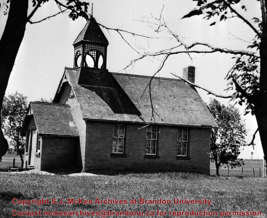
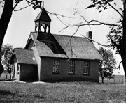
Assiniboine River Bridge North of Kemnay
Notes
[Mr. Stuckey put a negative and print in the same envelope. We have separated them, numbering the negative OB5(1) and the print OB5(1a).]
This bridge was condemned in the late 1930s but cyclists continued to use it until it was torn down (approximately 1940)
Until the early 1920s the Canadian Pacific Railway maintained a well and pumping station near the southeast corner of this bridge, which pumped water through a pipeline to a locomotive watering tank at Kemnay.
Custodial History
For custodial history see the collection level description of the Lawrence Stuckey collection.
Scope and Content
Assiniboine River Bridge North of Kemnay
Notes
[Mr. Stuckey put a negative and print in the same envelope. We have separated them, numbering the negative OB5(1) and the print OB5(1a).]


.jpg?width=1200&404=no-img.jpg&watermark=wmk)
.jpg?width=180&404=no-img.jpg)
.jpg?width=1200&404=no-img.jpg&watermark=wmk)
.jpg?width=180&404=no-img.jpg)
.jpg%3fmaxheight%3d1000%26maxwidth%3d1000%26watermark%3dwmk&description=Assiniboine+River+Bridge+North+of+Kemnay)
.jpg%3fmaxheight%3d1000%26maxwidth%3d1000%26watermark%3dwmk&description=Assiniboine+River+Bridge+North+of+Kemnay)