For custodial history see the collection level description of the Lawrence Stuckey collection.
Scope and Content
Brandon House No. 2 Cairn
Notes
[Cairn reads: "Brandon House No. 2 established on this site 10 A.M. Oct. 7 1828 by Chief Trader Francis Heron of the H.B. Co.; Abandoned 1832; This cairn Dedicated Oct. 7 1928; Erected by The Brandon Rotary Club" (P.E. 23/07/09).]
For custodial history see the collection level description of the Lawrence Stuckey collection.
Scope and Content
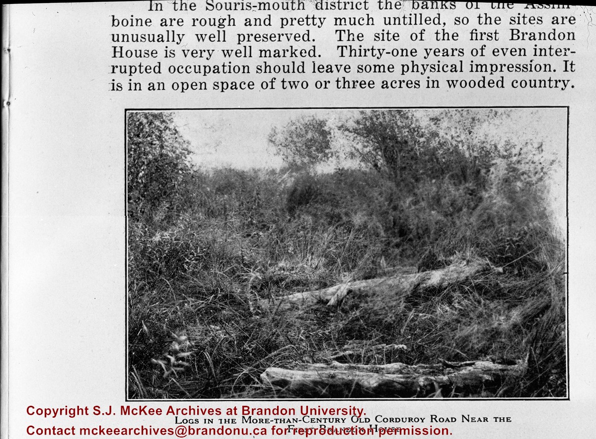
Image of corduroy road, Brandon House.
Notes
[Brandon SE includes communities south of Trans-Canada #1 highway and east of PTH #10.] [Caption on the image itself reads: "Logs in the more-than-century old corduroy road near the first Brandon House"]. [Additional information on the image itself reads: "In the Souris-mouth district the banks of the Assiniboine are rough and pretty much untilled, so the sites are unusually well preserved. The site of the first Brandon House is very well marked. Thirty-one years of even interrupted occupation should leave some physical impression. It is in an open space of two or three acres in wooded country."]
The overpass is named for Brandon's first mayor, Thomas Mayne Daly, and the street on which the overpass is located. The overpass opened in October 1963.
Scope and Content
Photograph is an aerial view of the Daly 18th Street Overpass (18th Street Bridge). Visible are a number of commercial and residential buildings in the north end of Brandon, MB. The view is northeast, probably taken from the roof of the old steam plant north of 20th Street and Rosser Avenue.
.jpg?width=1200&404=no-img.jpg&watermark=wmk)
.jpg?width=180&404=no-img.jpg)


.jpg%3fmaxheight%3d1000%26maxwidth%3d1000%26watermark%3dwmk&description=Brandon+House+No.+2+Cairn)