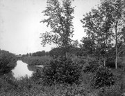
West End Park, which was established in 1894, was renamed Stanley Park in 1907, in honour of Stanley McInnis, a local dentist and legislator. The city acquired the block of land from the Canadian Pacific Railway Company in 1894 for the price of one dollar, on the condition that it be set aside for public use. The park occupies the block between 14th and 15th Streets and Princess and Lorne Avenues.
Custodial History
See fonds level description of the Alf Fowler collection for custodial history.
Scope and Content
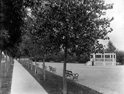
Photos shows Stanley Park.
Notes
History/Bio information was taken from the Assiniboine Historical Society's Brandon: A Residential Walking Tour pamphlet (1993).
Storage Range
RG 5 Western Manitoba Manuscript collection - photograph storage drawer
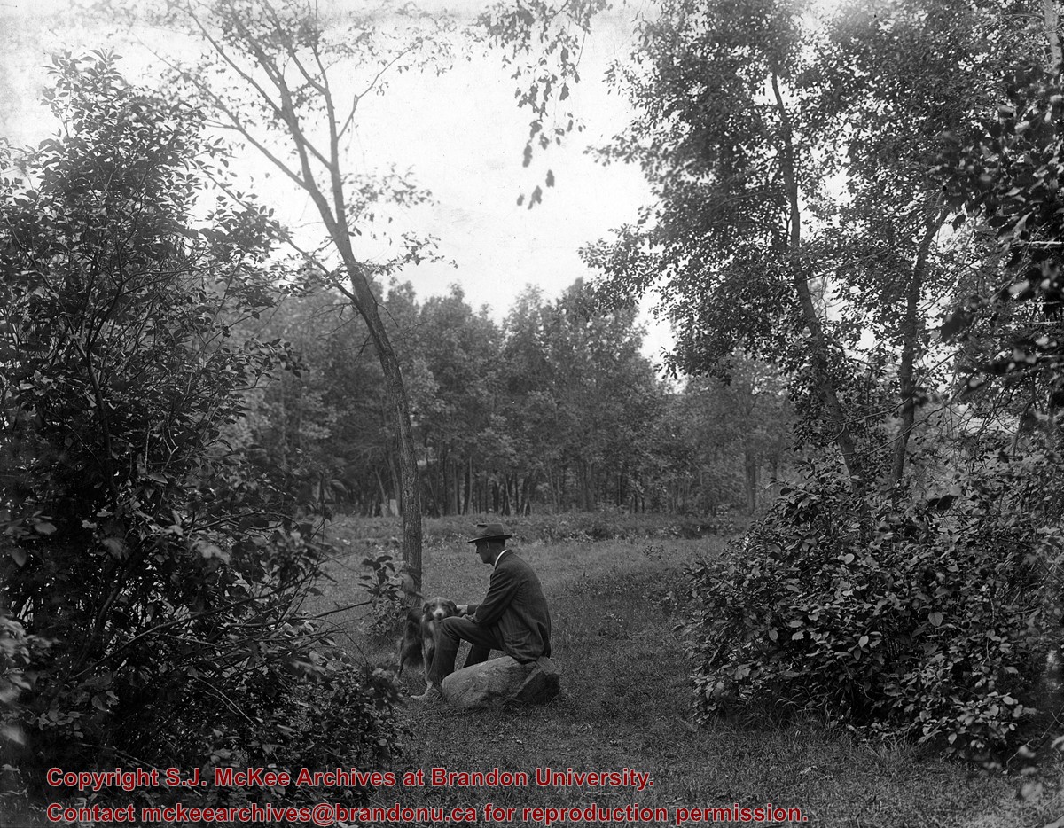
West End Park, which was established in 1894, was renamed Stanley Park in 1907, in honour of Stanley McInnis, a local dentist and legislator. The city acquired the block of land from the Canadian Pacific Railway Company in 1894 for the price of one dollar, on the condition that it be set aside for public use. The park occupies the block between 14th and 15th Streets and Princess and Lorne Avenues.
Custodial History
See fonds level description of the Alf Fowler collection for custodial history.
Scope and Content
Photos shows Stanley Park.
Notes
History/Bio information was taken from the Assiniboine Historical Society's Brandon: A Residential Walking Tour pamphlet (1993).
Storage Range
RG 5 Western Manitoba Manuscript collection - photograph storage drawer
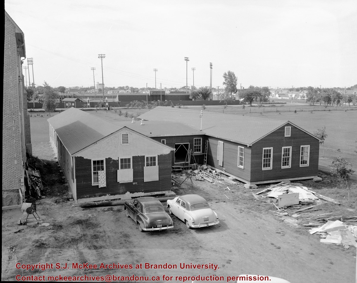
Photograph shows the removal of one of the houses formerly located on 20th Street between Louise and Princess Avenues. The houses on those blocks were removed to create parking lots for the University. A Fed Zavislak Ltd. Well Drilling & Trucking pickup truck is visible at the curb.
Photograph shows the removal of one of the houses formerly located on 20th Street between Louise and Princess Avenues. The houses on those blocks were removed to create parking lots for the University.
View is northeast from the Brandon College Building. Photograph shows the inside of the Brandon College Building after it had been gutted and then partially rebuilt. The exterior fascade of the west side of the building can be clearly seen in this photograph. A number of houses on the east side of 200 block of 18th Street are also visible, as is the stone fence on Princess Avenue and the flag pole on the front lawn.
See fonds level of the CKX records for custodial history.
Scope and Content
Image is looking southwest across Brandon College campus. Visible are Clark Hall, the Brandon College Building, the Citizens' Science Building and the A.E. McKenzie Building.
See fonds level of the CKX records for custodial history.
Scope and Content
Image is looking northwest across Brandon College campus. Visible are the H-Huts and the Citizen's Science Building. Behind the Citizen's Science Building are the Brandon College Building and Clark Hall.
See fonds level of the CKX records for custodial history.
Scope and Content
Image is looking south southwest across Brandon College campus. Visible are Clark Hall, the Brandon College Building and the Citizens' Science Building.
See fonds level of the CKX records for custodial history.
Scope and Content
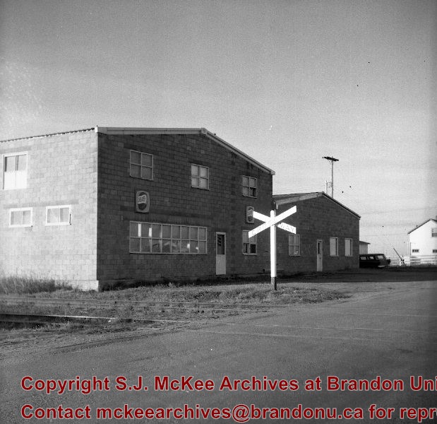
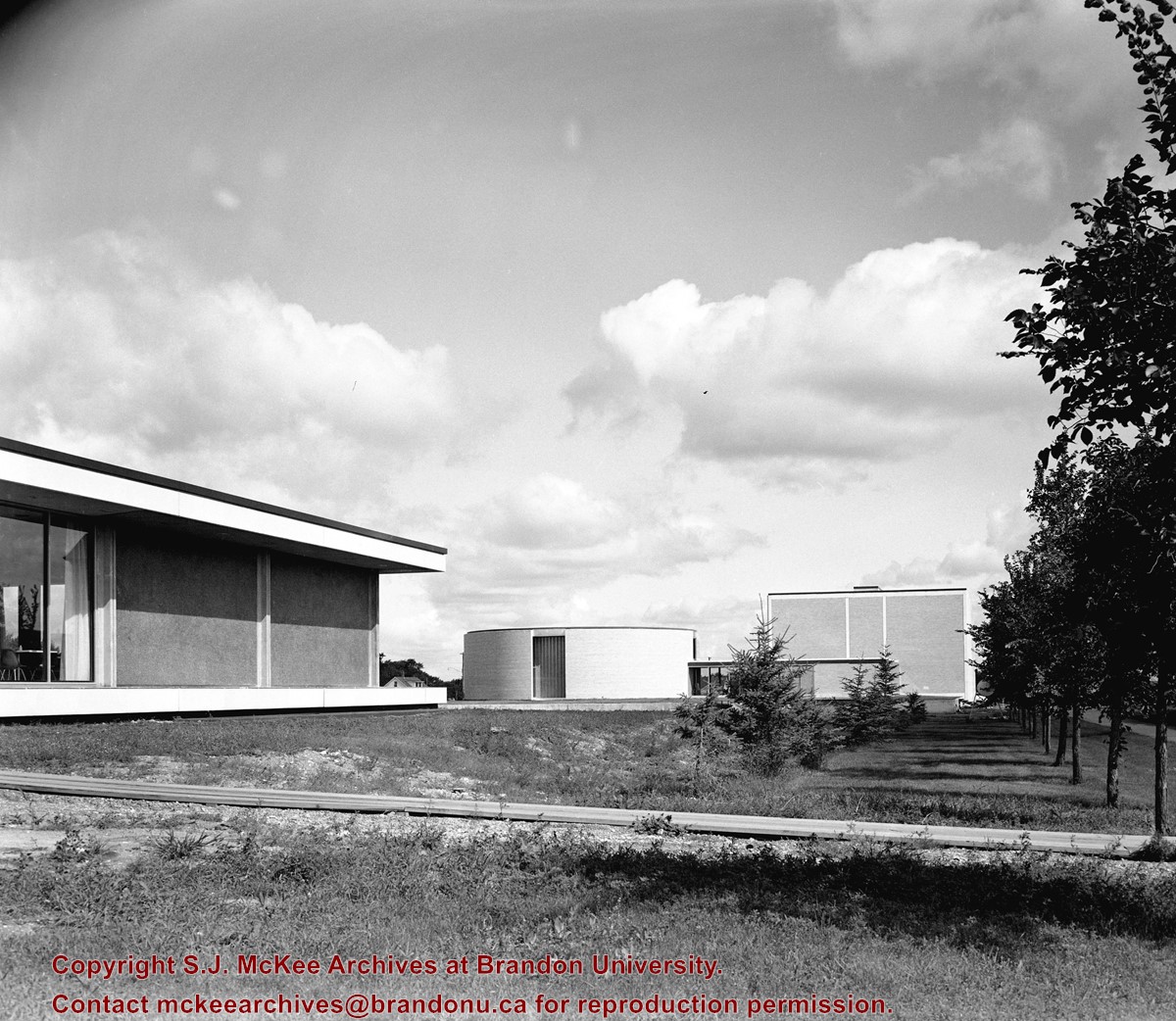
Image is looking northwest across Brandon College campus. Visible is part of an H-Hut, the J.R.C. Evans Lecture Theatre and the A.E. McKenzie Building.
See fonds level of the CKX records for custodial history.
Scope and Content
Image is looking north northwest across Brandon College campus. Visible are the Dining Room, the J.R.C. Evans Lecture Theatre and the A.E. McKenzie Building.


