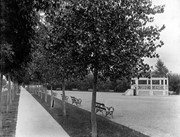
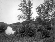
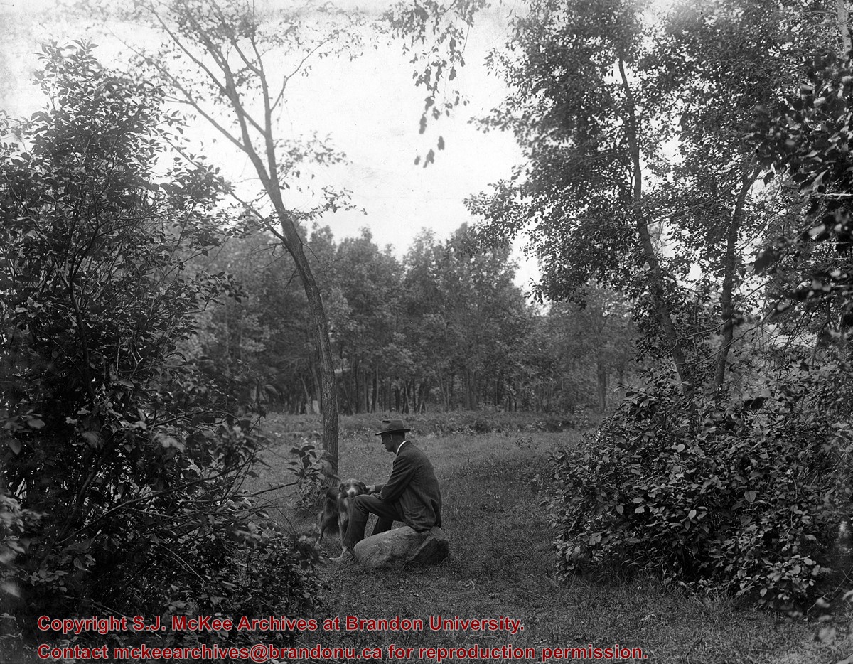
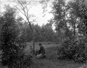
West End Park, which was established in 1894, was renamed Stanley Park in 1907, in honour of Stanley McInnis, a local dentist and legislator. The city acquired the block of land from the Canadian Pacific Railway Company in 1894 for the price of one dollar, on the condition that it be set aside for public use. The park occupies the block between 14th and 15th Streets and Princess and Lorne Avenues.
Custodial History
See fonds level description of the Alf Fowler collection for custodial history.
Scope and Content
Photos shows Stanley Park.
Notes
History/Bio information was taken from the Assiniboine Historical Society's Brandon: A Residential Walking Tour pamphlet (1993).
Storage Range
RG 5 Western Manitoba Manuscript collection - photograph storage drawer
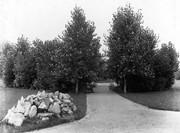
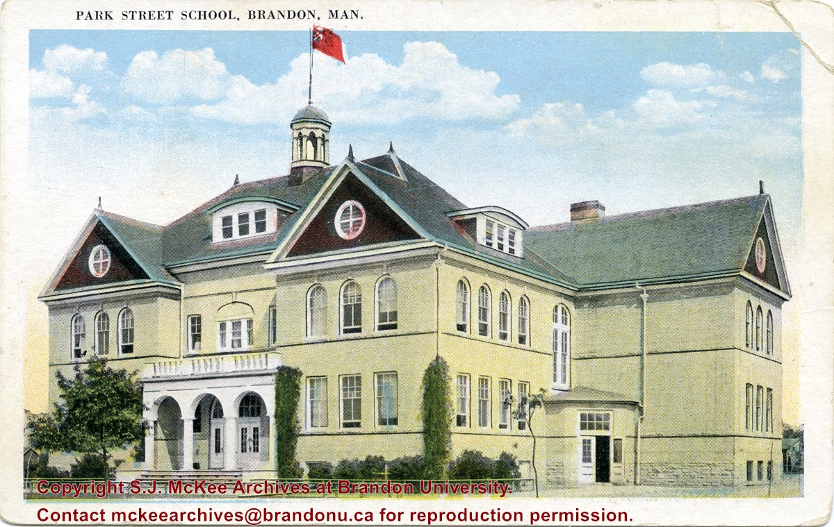
Located south of Stanley Park along the 1400 block of Lorne Avenue, Park School was constructed in 1904. Designed by W.A. Elliot and built by the Brandon Construction Company the structure measured 71 x 107 feet and cost approximately $38,000.
The school featured a principal’s office, reception room, staff rooms, an assembly hall for eight hundred, and ten class rooms. The interior walls were lined with mahogany while the floors were made of western pine. The interior of the basement was constructed from Tyndall stone, while Crookston brick trimmed with Bedford stone made up the exterior.
The building was razed in September 1978. Hobbes Manor was built on the location.
Scope and Content
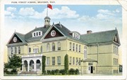
Item is a postcard showing Park School in Brandon, MB.
The bottom right hand corner has been torn off. Both portions of the photograph are stored together.
Scope and Content
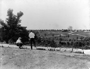
View is northwest from approximately 17th Street and Victoria Avenue. Photograph shows: the Brandon College campus and the Kinsmen Park and baseball diamond. Taken during construction of Flora Cowan Hall but before the Gymnasium was built.


