View is west southwest from approximatley the northside of Princess Avenue just east of 18th Street. Photograph shows the University campus, part of Kinsmen Stadium and residential blocks.
View is northwest from approximatley the southeast corner of 18th Street and Louise Avenue. Photograph shows the University campus and residential blocks.
View is southwest from approximatley the corner of 17th Street and Princess Avenue to McDiarmid Drive. Photograph shows the Brandon University campus, Kinsmen Stadium, Fleming School, Coronation Park and residential blocks.
View is west northwest from aproximatley 15th Street and Louise Avenue to 34th Street. Photograph shows the Brandon University campus, part of Kinsmen Stadium, Fleming School, Coronoation Park, Valleyview Centennial School, Sacred Heart School ?, and residential blocks.
View is west northwest from aproximatley 16th Street and Louise Avenue to west of 34th Street. Photograph shows the Brandon University campus, part of Kinsmen Stadium, Coronoation Park, Valleyview Centennial School, part of the Assiniboine River and residential blocks.
View is southwest from approximatley 16th Street between Lorne Avenue and Princess Avenue. The view extends to approximately 26th Street. Photograph shows the Brandon University campus, Kinsmen Stadium, Fleming School, Coronation Park and residential blocks.
View is southwest from approximatley 16th Street and Princess Avenue to McDiarmid Drive. Photograph shows the Brandon University campus, Kinsmen Stadium, Fleming School, Coronation Park, J.R. Ried School and residential blocks.
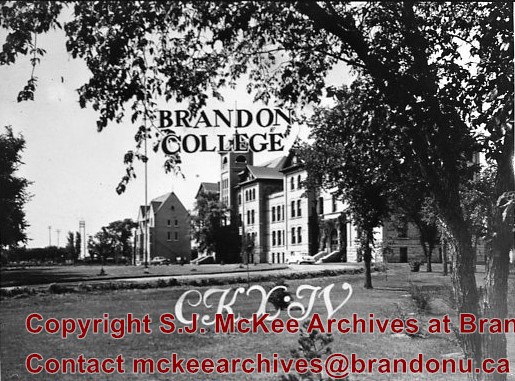
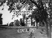
The photograph was taken for the Centennial of Brandon College/University.
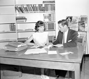
Scope and Content
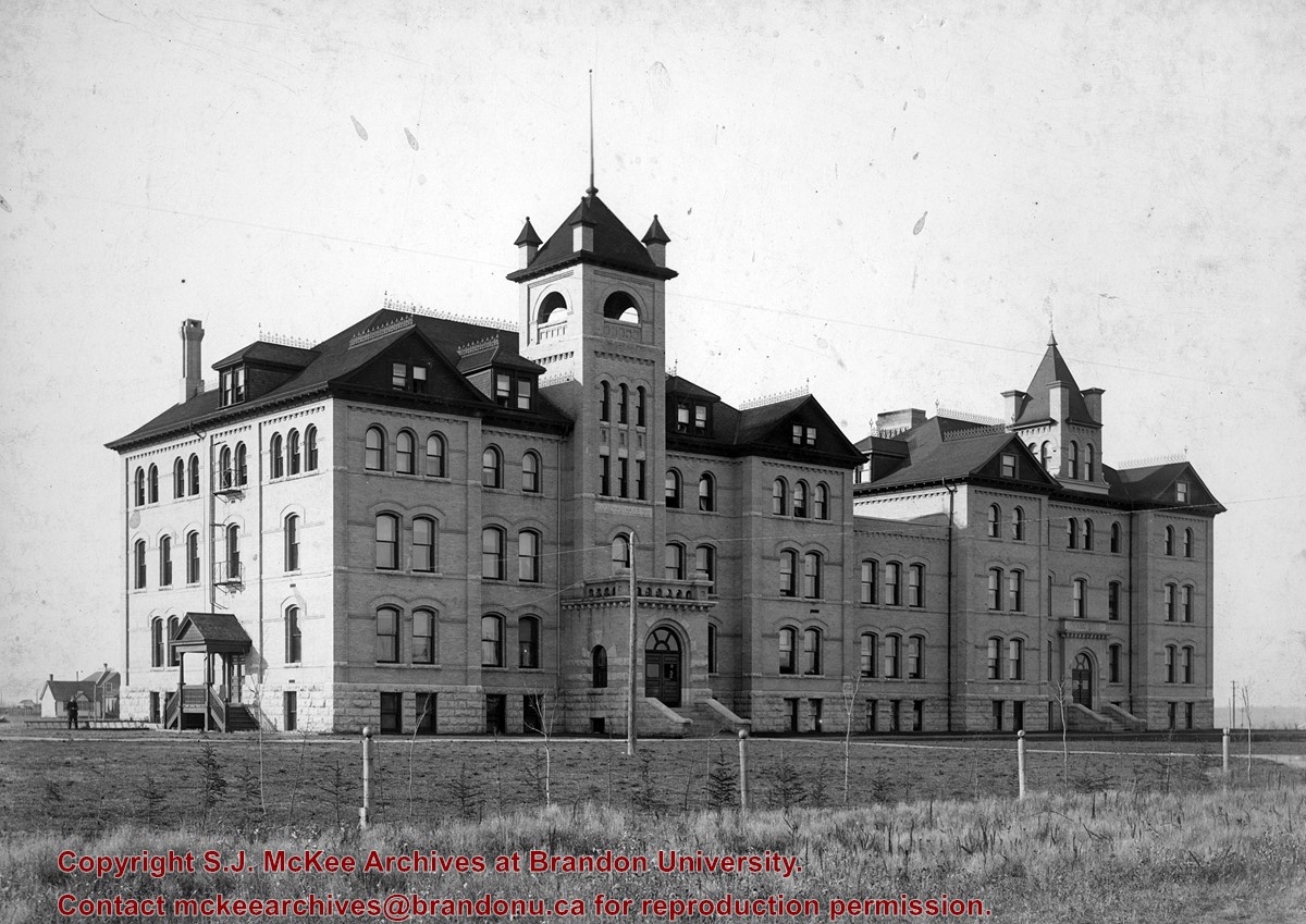
Aerial photograph taken looking southwest from approximately the northeast corner of Princess Avenue and 17th Street. The entire campus, as well as a number of residential streets are visible.
View is north northwest from the roof of Flora Cowan Hall (?). Photograph shows: the J.R.C. Evans Lecture Theatre, the A.E. McKenzie Building and the Western Manitoba Centennial Auditorium as well as a number of houses on 20th Street.
Taken from an airplane, photograph is looking northwest from approximatley 15th Street and Louise Avenue. Shown are a number of residential blocks, the Brandon University campus, the railroad tracks and the Assiniboine River to approximatley 34th Street.
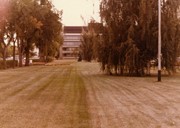
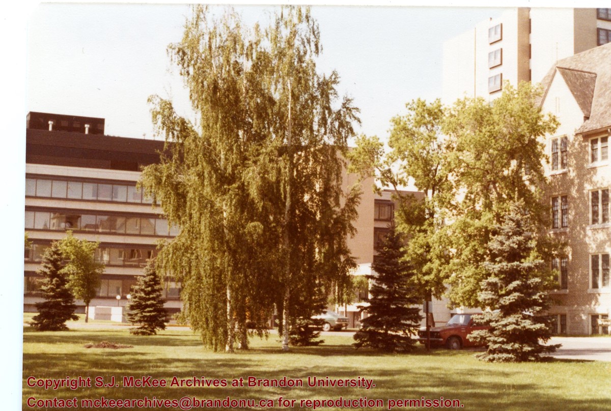
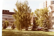
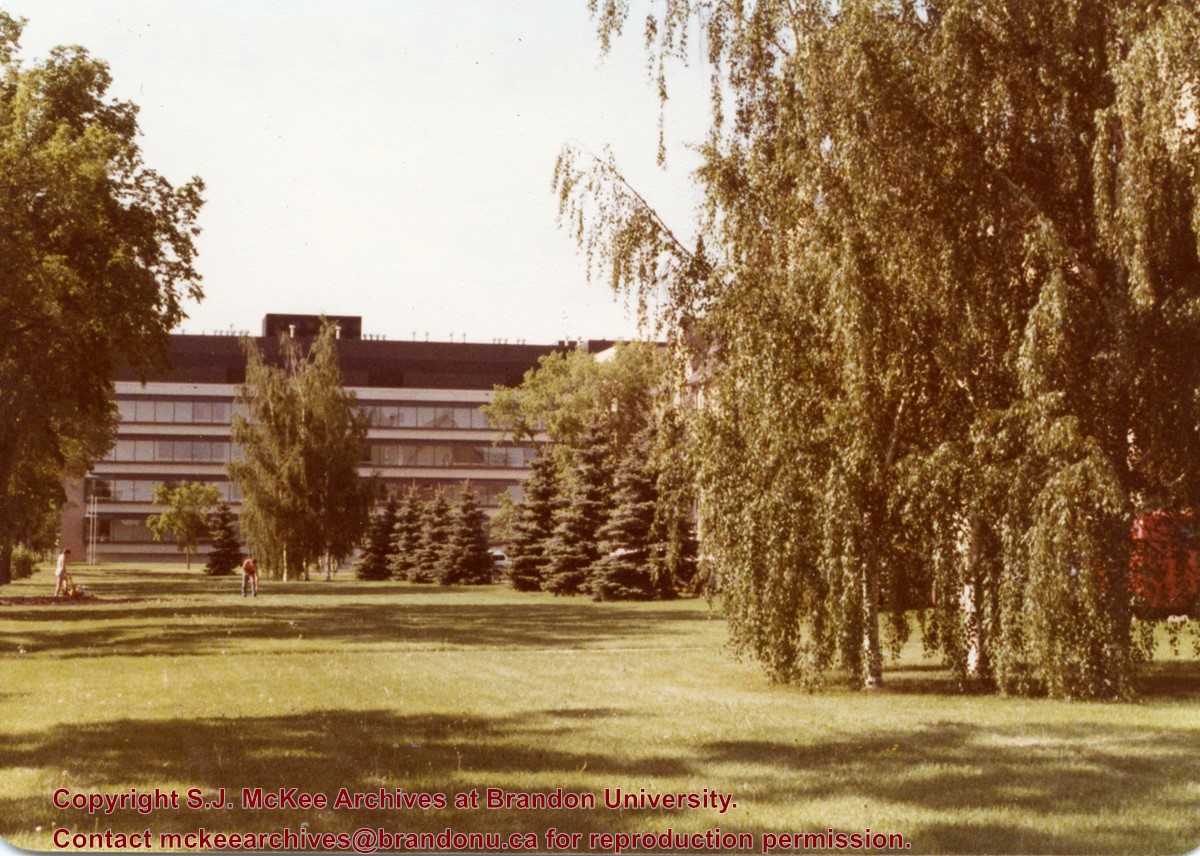
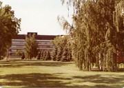
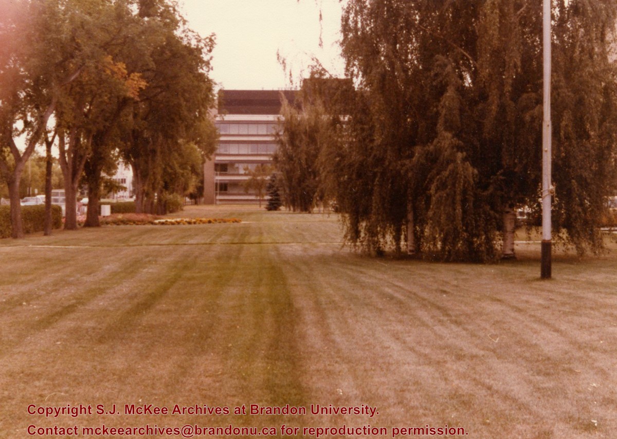
View is south southwest. Photograph shows the Brandon University campus front lawn in summer, with the John R. Brodie Science Centre, McMaster Hall, and the Citizens' Science Building in the background.
Photograph of an east side of 10th Street facing north from Princess Avenue. Visible businesses include: Thunderbird Bowl, Canadian Pacific Telegraphs, Pittsburgh Paint & Glass, Strand Theatre, Trans Canada Credit Loans, Ted Heming Jewellers, Carlton Cafe, McKenzie Seeds, Clement Block, Mitrou's Cafe and Tea Room, and Brandon Musical Supply Ltd. Vehicles parked on 10th Street are facing north.
Notes
Photograph dated from "Tara's Bulba," the movie playing at the Strand Theatre and similiar vehicles captured in the photograph.
Doig's, originally located on Rosser Avenue, moved to the 10th Street location in 1921.
Scope and Content
Photograph of west side of 10th Street, Brandon, Manitoba, facing northwest. Visible businesses in the Alexander Block include Doig's, Box Brothers Hardware and Allied Hardware Stores, followed by Simpsons-Sears and Barry Neill Men's Wear in the Strathcona Block. The Johnny Smith Block is visible in the background.


