For custodial history see the collection level description of the Lawrence Stuckey collection.
Scope and Content
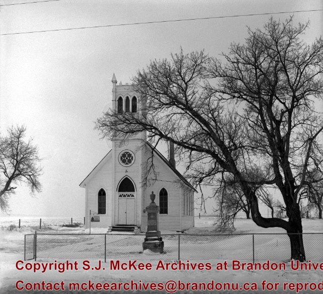
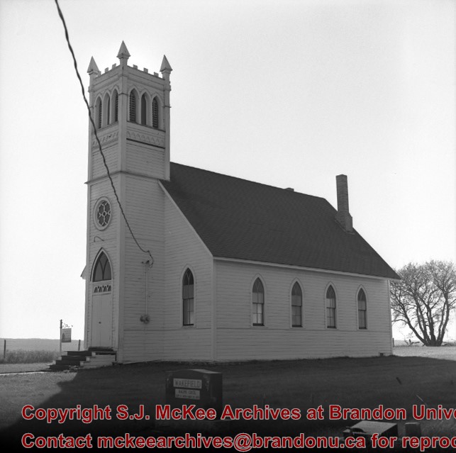
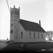
Brandon Hills Church
Notes
View from northwest showing part of cemetery. Best neg.
[Mr. Stuckey had taped a print to the outside of the envelope. We have separated the negative and the print, numbering them OA3(1) and OA3(1a) respectively.]
For custodial history see the collection level description of the Lawrence Stuckey collection.
Scope and Content
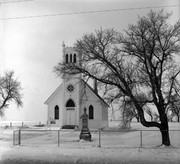
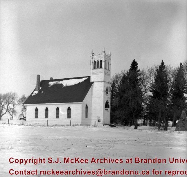
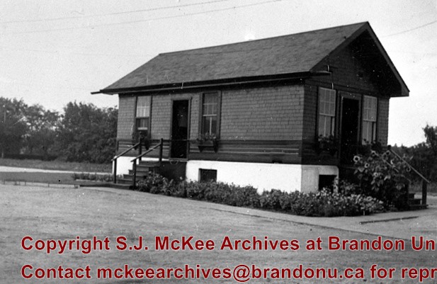
Interior of Brandon Hills Church
Notes
[Mr. Stuckey had taped a print to the outside of the envelope. We have separated the negative and the print, numbering them OA7(1) and OA7(1a) respectively.]
For custodial history see the collection level description of the Lawrence Stuckey collection.
Scope and Content
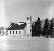
Interior of Brandon Hills Church
Notes
[Mr. Stuckey had taped a print to the outside of the envelope. We have separated the negative and the print, numbering them OA7(1) and OA7(1a) respectively.]
Brandon College looking south from 19th Street. Photograph was taken after Flora Cowan Hall was built but before construction of the Education Building.
Image shows the Brandon College campus from 17th Street looking southwest. The photo was taken after the completion of the original Music Building in 1963, but construction of the Education Building. Also visible are a number of properties on the 200 block of 18th Street and the 200 block of 20th Street.
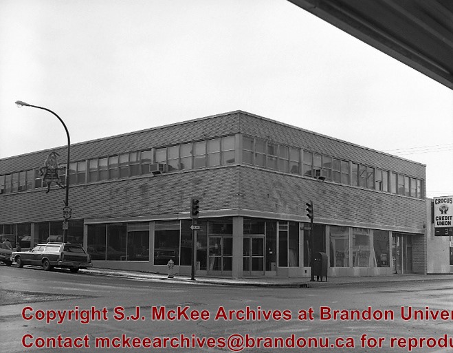
The Bank of Montreal rebuilt the former Bass Building directly across from it (southwest corner of 10th St. and Rosser Ave.), and moved into their new facilities in 1982.
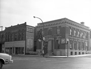
Custodial History
For custodial history see the collection level description of the Lawrence Stuckey collection.
Scope and Content
Bank of Montreal
Notes
View of the southeast corner of 10th St. & Rosser Ave.
Built in 1956 on the southeast east corner of 10th St. and Rosser Avenue (former site of the Olympia Cafe)
In the summer of 1981 the S.S. Kresge store closed, and the Bass Building was purchased by the Bank of Montreal with the intention to renovate and open in 1982.
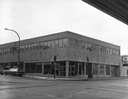
Custodial History
For custodial history see the collection level description of the Lawrence Stuckey collection.
Scope and Content
Bass Building (ex. S.S. Kresge store)
Notes
[Mr. Stuckey indicated on the envelope that there are two negatives, but only one in enclosed.]
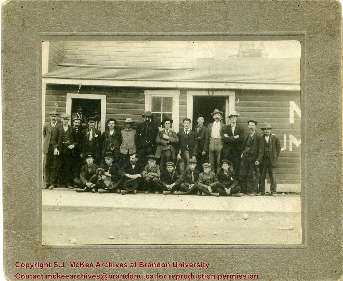
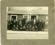
Photograph was given to Fred McGuinness by Linda Bilkoski (nee Lepard) of Lac du Bonnet, MB.
Scope and Content
Photograph shows a group of 24 males alongside a wood-framed building. The individuals are likely employees of McDiarmid Lumber. The ages of employees range from children to middle-age.The men appear to be wearing their "Sunday-best." Some men have smoking pipes, another man is holding a dog.
Notes
Date range based on establishment of McDiarmid & Clark and employment periods for members of the Chalmers family based on Henderson's Brandon City Directory.
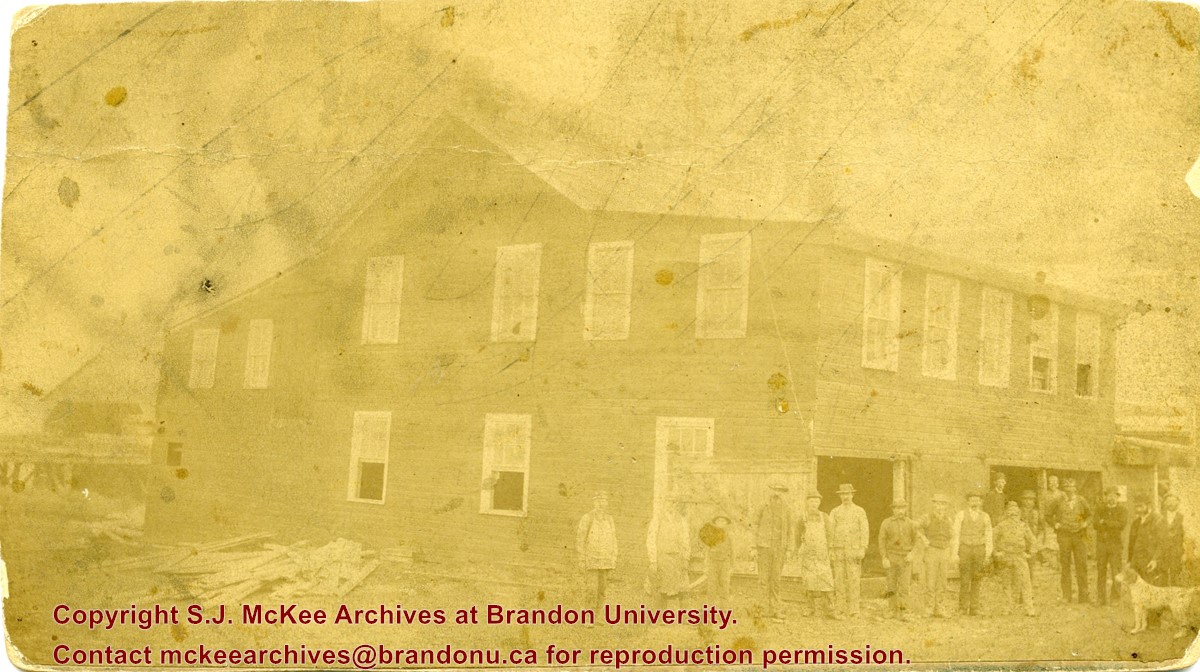
Photograph was given to Fred McGuinness by Linda Bilkoski (nee Lepard) of Lac du Bonnet, MB.
Scope and Content
Photograph shows a group of 17 men stading in a lumber yard.
Notes
This picture is the same as the negative in the Lawrence Stuckey collection. Stuckey obtained a copy of the photo from George Lepard, father of Linda Bilkoski (nee Lepard). Date range based on employment dates of Edward Chalmers. Ed Chalmers was the brother of Catherine Harden (nee Chalmers), mother to Edith Harden, who in turn, is the wife of George Lepard.
View is southwest from approximatley 16th Street between Princess and Rosser Avenues. Photograph shows the Brandon University campus, as well as surrounding residential blocks, including Flemming, J.R. Reid and Vincent Massey schools.
View is west southwest from approximatley 16th Street between Princess and Lorne Avenues. Photograph shows the Brandon University campus, as well as surrounding residential blocks between 16th and 23rd Streets, Princess and Louise Avenues..
View is west from approximatley 17th Street between Lorne and Louise Avenues. Photograph shows a portion of the Brandon University campus (excluding the Education Building and anything north of it), as well as surrounding residential blocks from approximatley 17th Street to 22nd Street.
View is west northwest from approximatley 16th Street and Louise Avenue. Photograph shows the Brandon University campus, prior to the Library Extension, and a large portion of the city to the west of the campus.
View is northwest from approximatley 16th Street and Louise Avenue. Photograph shows the Brandon University campus, prior to the Library Extension, and a large portion of the city to the west of the campus.
View is northeast probably from the roof of McMaster Hall. Photograph shows the construction of the new roof on Clark Hall and the Brandon College Building. A portion of the east side of the 000 and 100 blocks of 18th Street, as well as the corner of 18th Street and Rosser Avenue are visible in the upper left hand corner. This includes the "Downtown Brandon" sign.
.jpg?width=1200&404=no-img.jpg&watermark=wmk)
.jpg?width=180&404=no-img.jpg)
.jpg?width=1200&404=no-img.jpg&watermark=wmk)
.jpg?width=180&404=no-img.jpg)
.jpg?width=1200&404=no-img.jpg&watermark=wmk)
.jpg?width=180&404=no-img.jpg)
.jpg?width=1200&404=no-img.jpg&watermark=wmk)
.jpg?width=180&404=no-img.jpg)


.jpg%3fmaxheight%3d1000%26maxwidth%3d1000%26watermark%3dwmk&description=Brandon+Hills+Church)
.jpg%3fmaxheight%3d1000%26maxwidth%3d1000%26watermark%3dwmk&description=Brandon+Hills+Church)
.jpg%3fmaxheight%3d1000%26maxwidth%3d1000%26watermark%3dwmk&description=Brandon+Hills+Church+-+Interior)
.jpg%3fmaxheight%3d1000%26maxwidth%3d1000%26watermark%3dwmk&description=Brandon+Hills+Church+-+Interior)