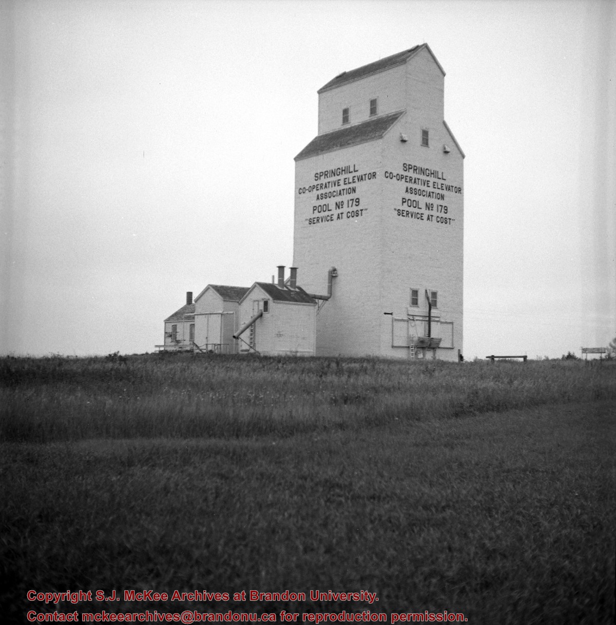
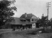
Stuckey's notes: This is closest point on CN Rossburn Subdivision to CP Minnedosa Subdivision. Bill McGuire and I figured they are about 3 miles apart here. The long range plan is for a cutoff joining the two near this point. Track from here to Rossburn Junction is not being improved.
Custodial History
For custodial history see the collection level description of the Lawrence Stuckey collection.
Scope and Content
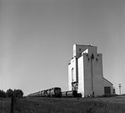
Image of the Pool elevator (closed), mile 5 Rossburn subdivision, Springhill, Manitoba, taken along the CNR line, Rossburn subdivision.
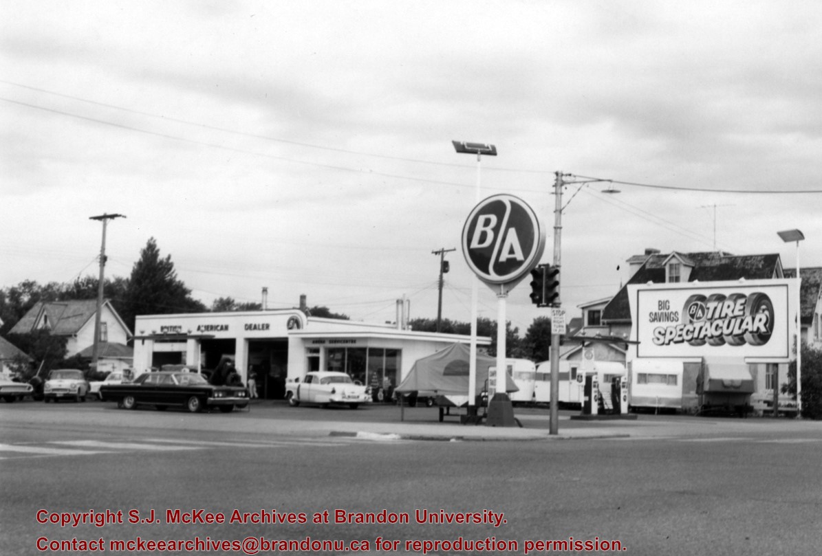
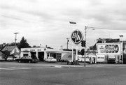
The British American gas station was located on the north side of Victoria Avenue between 10th and 11th Streets. An Esso gas station later occupied the site; at present it is the parking lot and building for the Manitoba Liquor Commission retail outlet.
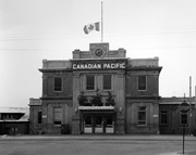
Scope and Content
Photograph is looking northwest from across Victoria Avenue and shows the British American station building, signs, gas pumps and various cars in the lot.
Repro Restriction
The McKee Archives is the copyright holder for the Stuckey materials.
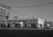
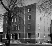
The Police Station and Court House were located on the east side of 8th Street in the 200 block between the new YMCA building and First Church United. The building that house the Police Station and Court House was the old YMCA building (they removed the front columns during renovations).
Scope and Content
Photograph is looking east north east and shows the Police Station and Court House main entrance. The building also housed City Welfare. A private parking sign for First Church United is visible in the bottom left corner.
Repro Restriction
The McKee Archives is the copyright holder for the Stuckey materials.

.jpg?width=1200&404=no-img.jpg&watermark=wmk)
.jpg?width=180&404=no-img.jpg)
.jpg?width=1200&404=no-img.jpg&watermark=wmk)
.jpg?width=180&404=no-img.jpg)


.jpg?width=1200&404=no-img.jpg&watermark=wmk)
.jpg?width=180&404=no-img.jpg)
.jpg?width=1200&404=no-img.jpg&watermark=wmk)
.jpg?width=180&404=no-img.jpg)
.jpg?width=1200&404=no-img.jpg&watermark=wmk)
.jpg?width=180&404=no-img.jpg)


+mile+5+Rossburn+subdivision%2c+Springhill%2c+Manitoba)
.jpg%3fmaxheight%3d1000%26maxwidth%3d1000%26watermark%3dwmk&description=CN+Station)
.jpg%3fmaxheight%3d1000%26maxwidth%3d1000%26watermark%3dwmk&description=CN+Station)
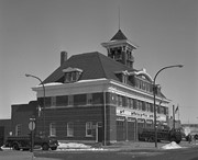
.jpg%3fmaxheight%3d1000%26maxwidth%3d1000%26watermark%3dwmk&description=Fire+Station+No.+1)
.jpg%3fmaxheight%3d1000%26maxwidth%3d1000%26watermark%3dwmk&description=Fire+Station+No.+1)
.jpg%3fmaxheight%3d1000%26maxwidth%3d1000%26watermark%3dwmk&description=Brandon+generating+station)