The Medicine Hat Exhibition and Stampede Parade Day was held on Thursday, July 19, 1962, at 9:30 a.m. The local newspaper reported that approximately 24,000 people were in attendance to see parade marshall Rod Ashburner leading 175 entries consisting of 90 floats, 75 horses, and 10 bands. There were 19 parade categories eligible for $12,000 in prize money and included: junior and senior cowboys and cowgirls; fancy and Shetland ponies; sulky class open; comic, commercial, industrial and organizational floats; decorated cars; special ranch class; 4-H Clubs; and a non-competitive class.
The parade route started at Second St. and Allowance Ave., from Second St. to Ash Ave., north on Ash to First St. SE., from First St. S.E. to Fourth Ave., south to Second St. to South Railway St., south on South Railway St. to Third St., with a finish at McLeod Trail. A route map was published in the Medicine Hat News the day before the parade.
Aerial photographs of the parade were taken by Medicine Hat News photographer Howard Heid (1930-2005) from the private helicopter of John Bourn. Bourn was a pilot from Woodville, Wisconsin, who chartered his four-seater helicopter for sight-seers at exhibitions and stampedes across the county.
(Sources: Pat Currie, "Let 'Er Go!," Medicine Hat News, 19 July 1962,1; Harald Gunderson, "'Eye in the Sky' Best Parade View," Medicine Hat News, 19 July 1962,1; "Parade Starts at 9:30 Sharp," 18 July 1962)
Scope and Content
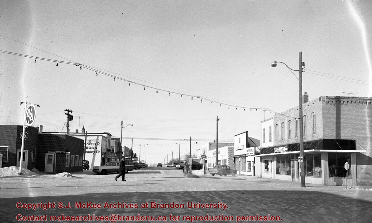
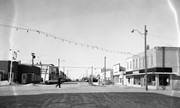
Photograph shows an aerial view of the Medicine Hat Exhibition and Stampede Parade route with a focus on the First Street SE and and the South Railway Street merge. A number of gas stations and garages are visible along this route and include Texaco, Shell, Ford, and B/A. The Fraternal Order of Eagles lodge is also visible.
Notes
This photograph shows the neighbourhood before rezoning and commercial development.
Photographs have been glued to a backing board that has warped over time
Custodial History
On 16 November 1906, Manitoba was hit by a severe winter storm that began that Thursday evening and extended through the weekend. The Brandon Daily Sun ("Storm Extends Over a Large Territory," 17 Nov. 1906, 1) reported that rail and telegraph services had been disrupted, country roads were impassable, and business in town was at a stand still. Following the weekend, the daily reported the blizzard was one of the greatest in recent memory. CPR trains had been caught in drifts by Carberry and an express car had caught fire and was destroyed ("Worst Storm in Many Years," Brandon Daily Sun, 19 Nov. 1906, 1).
Scope and Content
Photograph shows street view of north side of Rosser Avenue, primarily the 700 block. The Fleming Block, Beaubier Block and its Empire Hotel, A.M. Percival (a grocer), the Brandon Hardware Company (600 block), and the Arlington Hotel (500 block) are visible along the north side of the avenue. The Bank of Hamilton Building on the southeast corner of 8th Street and Rosser appears to be under construction. The streets are muddy and a horse and buggy is traveling west on Rosser Avenue.
Notes
Writing on the front of the photograph matting reads: during the great storm of November 16 1906, 341. The photograph appears to be taken from the interior of a builing on the southwest corner of 7th Street and Rosser Avenue. Page appears to be from a photo album.
Image submitted to Fred McGuinness by T. Horobin of Brandon
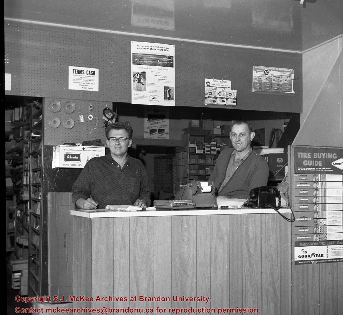
Scope and Content
Photograph shows a man, perhaps an engineer standing next to a Brandon Municipal Railway car covered in snow. A Brandon Municipal Railway token/tag is affixed to the image.


)
)
)
)
)
)