View is southwest from the roof of the George T. Richardson Centre. Photograph shows the curved glass wall of the John E. Robbins Library, the walkway between the Library and the Dining Hall, the Dining Hall and Darrach Hall.
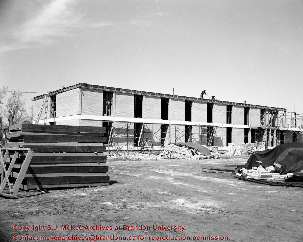
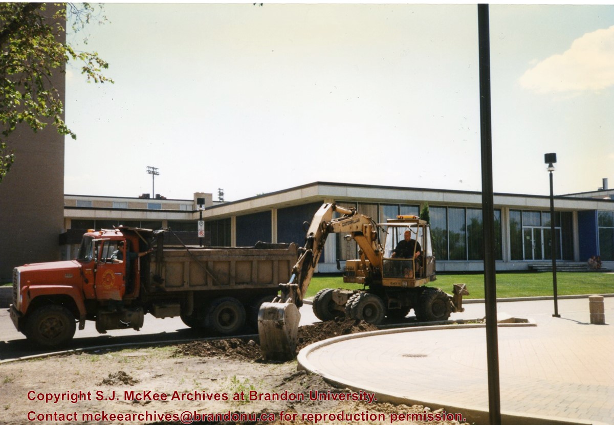
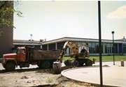
Photograph shows a backhoe and a dump truck on the north side of McMaster Hall during the landscaping of the flower bed on the southeast corner of the George T. Richardson Centre (John E. Robbins Library). The Dining Hall is in the background.
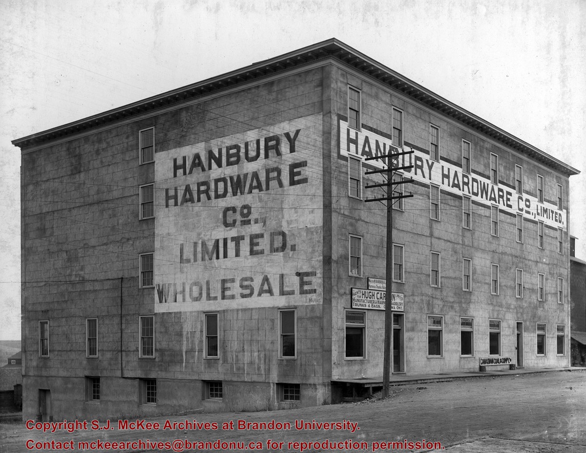
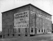
The Hanbury Hardware Company Limited was located at 703 Pacific Avenue.
Custodial History
See fonds level description of the Alf Fowler collection for custodial history.
Scope and Content
Photo shows the premises of the Hanbury Hardware Co. Additional signs on the building read: "Walter M. Borbride, Harness Trunks Val??"; "Agents for Hugh Car?n Limited, manufacturer of harne?? saddlery, trunks & bags. O???wa, Ont."; and "Canadian Coal & Com? Co."
Storage Range
RG 5 Western Manitoba Manuscript collection - photograph storage drawer
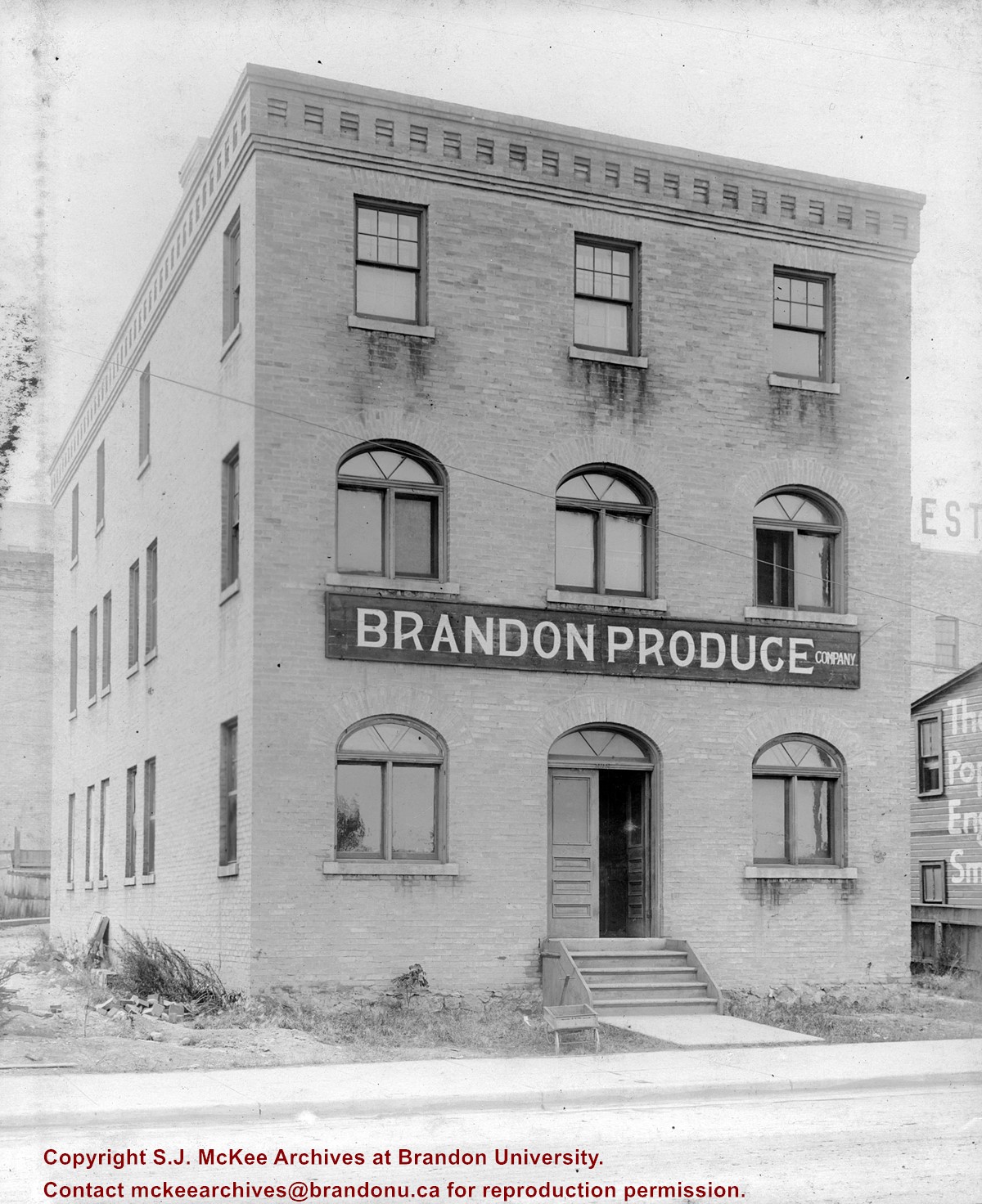
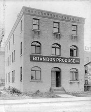
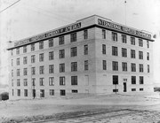
Hanbury Manufacturing Company Ltd. was established in 1881. Its office was located on Assiniboine Avenue and 6th Street North, with its warehouse and mills at 603 Assiniboine Avenue.
Custodial History
See fonds level description of the Alf Fowler collection for custodial history.
Scope and Content
Photo shows the premises of the Hanbury Manufacturing Company. Wording on the building includes: sash doors and mouldings; and wholesale and retail. The photograph also includes a number of residential buildings south of Assiniboine Avenue.
Storage Range
RG 5 Western Manitoba Manuscript collection - photograph storage drawer
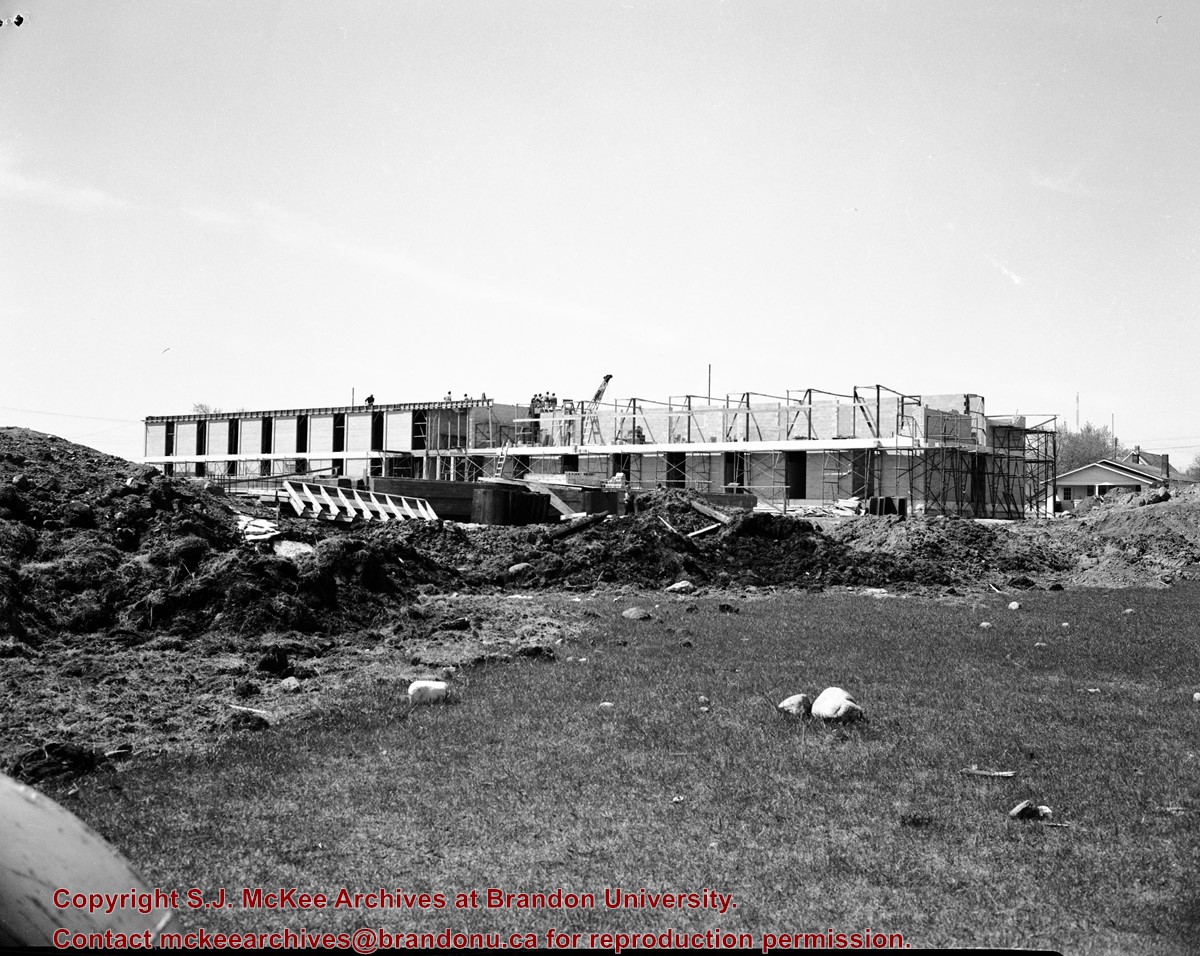
Photograph was taken from the roof of the Library and shows the walkway and flower bed on the southeast corner of the George T. Richardson Centre. The Physical Plant H-Hut is visible in the top right hand corner.
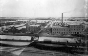
View is southwest from approximatley 16th Street between Princess and Rosser Avenues. Photograph shows the Brandon University campus, as well as surrounding residential blocks, including Flemming, J.R. Reid and Vincent Massey schools.
View is west southwest from approximatley 16th Street between Princess and Lorne Avenues. Photograph shows the Brandon University campus, as well as surrounding residential blocks between 16th and 23rd Streets, Princess and Louise Avenues..
View is west from approximatley 17th Street between Lorne and Louise Avenues. Photograph shows a portion of the Brandon University campus (excluding the Education Building and anything north of it), as well as surrounding residential blocks from approximatley 17th Street to 22nd Street.
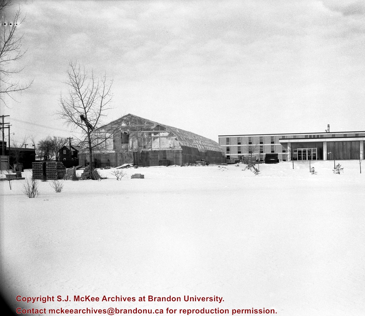
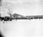
View is west northwest from approximatley 16th Street and Louise Avenue. Photograph shows the Brandon University campus, prior to the Library Extension, and a large portion of the city to the west of the campus.
View is northwest from approximatley 16th Street and Louise Avenue. Photograph shows the Brandon University campus, prior to the Library Extension, and a large portion of the city to the west of the campus.


