The photograph was taken for the Centennial of Brandon College/University.
Scope and Content
Aerial photograph taken looking southwest from approximately the northeast corner of Princess Avenue and 17th Street. The entire campus, as well as a number of residential streets are visible.
The matting has a large tear and some stains. The photograph itself has a couple of small stains.
Scope and Content
Photograph is looking southwest from the north end of the driveway and 18th Street and shows the Brandon College campus, including the front lawn, Clark Hall, the Brandon College Building and the Citizens' Science Building. Caption on the photograph reads: Brandon College: The Baptist College in Western Canada.
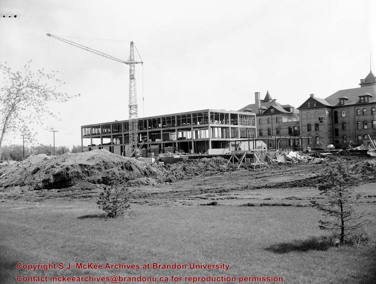
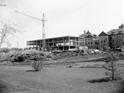
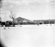
View is east northeast from the sidewalk on the southeast corner of the George T. Richardson Centre (John R. Robbins Library). Photographs shows the campus during winter, including the Physical Plant and Development H-Huts, as well as the Brandon College Building and Clark Hall after the majority of the renovations were completed.
View is southwest from 18th Street, just north of the Brandon University sign. Tken during the summer, the photograph shows the front lawn, a portion of the flower bed, the Citizens' Science Building, the Knowles Douglas Students' Union Centre, the John R. Brodie Science Centre and McMaster Hall.
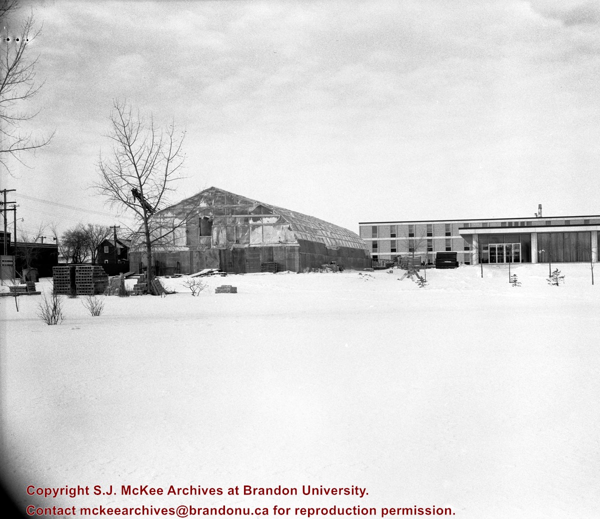
View is northeast. Photograph shows the green space before the Library extension in 1993. Brandon College Building and the Development H-Hut in the background.


