Skip header and navigation

Revise Search

20 records – page 7 of 1.

Aerial view: Brandon University campus

http://archives.brandonu.ca/en/permalink/descriptions8053
Part Of
Aerial views and campus photographs
Description Level
Item
GMD
graphic
Date Range
c. 1967
Part Of
Aerial views and campus photographs
Description Level
Item
Series Number
2.1
Item Number
2.1.122
GMD
graphic
Date Range
c. 1967
Physical Description
10" x 8" (colour)
Scope and Content
View is south southwest from approximatley the southwest corner of 18th Street and Princess Avenue. Photograph shows the University campus, Kinsmen Stadium, Earl Oxford School and residential blocks.
Images
Show Less

Aerial view: Brandon University campus

http://archives.brandonu.ca/en/permalink/descriptions8054
Part Of
Aerial views and campus photographs
Description Level
Item
GMD
graphic
Date Range
c. 1967
Part Of
Aerial views and campus photographs
Description Level
Item
Series Number
2.1
Item Number
2.1.123
GMD
graphic
Date Range
c. 1967
Physical Description
10" x 8" (colour)
Scope and Content
View is west from 17th Street between Louise and Princess Avenues to approximalety 25th Street. Photograph shows the University campus, Fleming School, Coronation Park and residential blocks.
Images
Show Less

Aerial view: Brandon College campus

http://archives.brandonu.ca/en/permalink/descriptions8055
Part Of
Aerial views and campus photographs
Description Level
Item
GMD
graphic
Date Range
c. 1963
Part Of
Aerial views and campus photographs
Description Level
Item
Series Number
2.1
Item Number
2.1.124
GMD
graphic
Date Range
c. 1963
Physical Description
8" x 10" (b/w)
Physical Condition
A problem during development has obscured a portion of Kinsmen Stadium and the southeast corner of the campus.
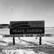
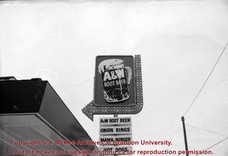
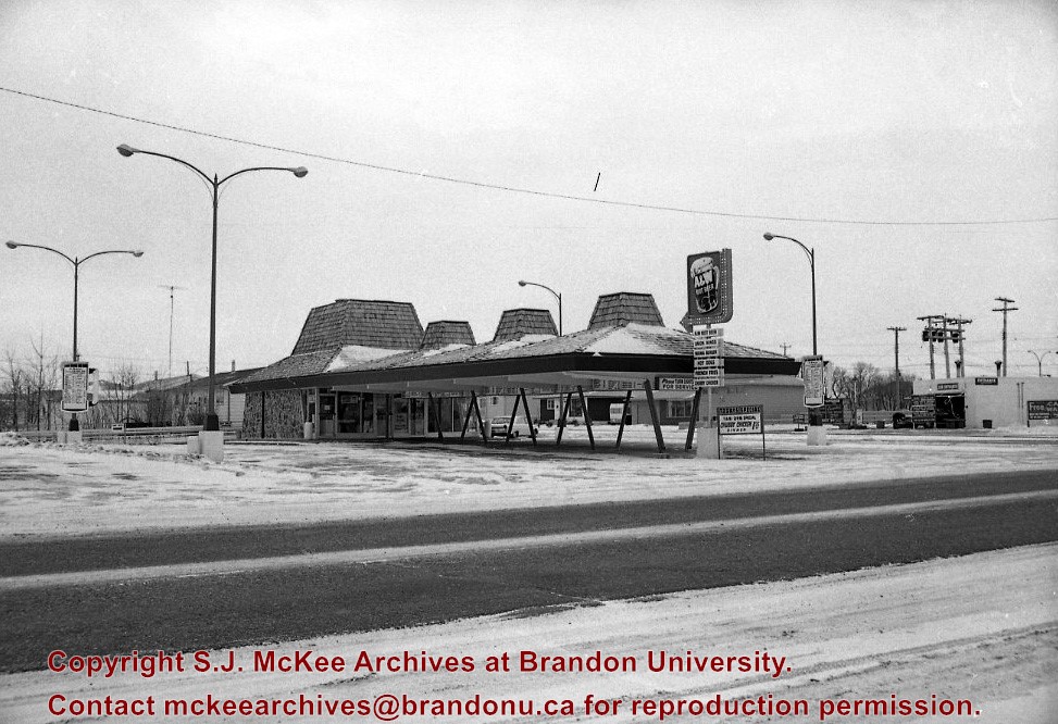
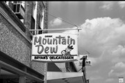
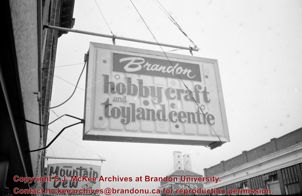
Scope and Content
View is north from Victoria Avenue between 18th and 20th Streets to the railway tracks. Photograph shows Kinsmen Stadium, the College campus and a number of residential blocks.
Images
Show Less

Aerial view: Brandon College campus

http://archives.brandonu.ca/en/permalink/descriptions8056
Part Of
Aerial views and campus photographs
Description Level
Item
GMD
graphic
Date Range
c. 1963
Part Of
Aerial views and campus photographs
Description Level
Item
Series Number
2.1
Item Number
2.1.125
GMD
graphic
Date Range
c. 1963
Physical Description
10" x 8" (b/w)
Scope and Content
View is northeast from approximately the southwest corner of Victoria Avenue and 22nd Street to the Assiniboine River near 1st Street. Photograph shows the College campus, Kinsmen Stadium, residential blocks, downtown and the railway tracks.
Images
Show Less

Aerial view: Brandon University campus

http://archives.brandonu.ca/en/permalink/descriptions8057
Part Of
Aerial views and campus photographs
Description Level
Item
GMD
graphic
Date Range
c. 1967
Part Of
Aerial views and campus photographs
Description Level
Item
Series Number
2.1
Item Number
2.1.126
GMD
graphic
Date Range
c. 1967
Physical Description
10" x 8" (colour)
Scope and Content
View is southeast from north of the corner of Princess Avenue and 22nd Street to approximatley Brandon Avenue. Photograph shows the University campus, Kinsmen Stadium, Earl Oxford School, and residential blocks. Brandon Collegiate Institute (BCI) is visible in the upper left corner.
Images
Show Less

Aerial view: Brandon University campus

http://archives.brandonu.ca/en/permalink/descriptions8058
Part Of
Aerial views and campus photographs
Description Level
Item
GMD
graphic
Date Range
c. 1967
Part Of
Aerial views and campus photographs
Description Level
Item
Series Number
2.1
Item Number
2.1.127
GMD
graphic
Date Range
c. 1967
Physical Description
10" x 8" (b/w)
Scope and Content
View is west southwest from approximatley the northside of Princess Avenue just east of 18th Street. Photograph shows the University campus, part of Kinsmen Stadium and residential blocks.
Images
Show Less

Aerial view: Brandon University campus

http://archives.brandonu.ca/en/permalink/descriptions8059
Part Of
Aerial views and campus photographs
Description Level
Item
GMD
graphic
Date Range
c. 1967
Part Of
Aerial views and campus photographs
Description Level
Item
Series Number
2.1
Item Number
2.1.128
GMD
graphic
Date Range
c. 1967
Physical Description
10" x 8" (b/w)
Scope and Content
View is northwest from approximatley the southeast corner of 18th Street and Louise Avenue. Photograph shows the University campus and residential blocks.
Images
Show Less

Aerial view: Brandon University campus

http://archives.brandonu.ca/en/permalink/descriptions8060
Part Of
Aerial views and campus photographs
Description Level
Item
GMD
graphic
Date Range
c. 1978
Part Of
Aerial views and campus photographs
Description Level
Item
Series Number
2.1
Item Number
2.1.129
GMD
graphic
Date Range
c. 1978
Physical Description
10" x 8" (b/w)
Scope and Content
View is southwest from approximatley the corner of 17th Street and Princess Avenue to McDiarmid Drive. Photograph shows the Brandon University campus, Kinsmen Stadium, Fleming School, Coronation Park and residential blocks.
Images
Show Less

Aerial view: Brandon University campus

http://archives.brandonu.ca/en/permalink/descriptions8061
Part Of
Aerial views and campus photographs
Description Level
Item
GMD
graphic
Date Range
c. 1978
Part Of
Aerial views and campus photographs
Description Level
Item
Series Number
2.1
Item Number
2.1.130
GMD
graphic
Date Range
c. 1978
Physical Description
10" x 8" (b/w)
Scope and Content
View is west northwest from aproximatley 15th Street and Louise Avenue to 34th Street. Photograph shows the Brandon University campus, part of Kinsmen Stadium, Fleming School, Coronoation Park, Valleyview Centennial School, Sacred Heart School ?, and residential blocks.
Images
Show Less

Aerial view: Brandon University campus

http://archives.brandonu.ca/en/permalink/descriptions8062
Part Of
Aerial views and campus photographs
Description Level
Item
GMD
graphic
Date Range
c. 1978
Part Of
Aerial views and campus photographs
Description Level
Item
Series Number
2.1
Item Number
2.1.131
GMD
graphic
Date Range
c. 1978
Physical Description
10" x 8" (b/w)
Scope and Content
View is west northwest from aproximatley 16th Street and Louise Avenue to west of 34th Street. Photograph shows the Brandon University campus, part of Kinsmen Stadium, Coronoation Park, Valleyview Centennial School, part of the Assiniboine River and residential blocks.
Images
Show Less

Aerial view: Brandon College campus

http://archives.brandonu.ca/en/permalink/descriptions8063
Part Of
Aerial views and campus photographs
Description Level
Item
GMD
graphic
Date Range
c. 1963
Part Of
Aerial views and campus photographs
Description Level
Item
Series Number
2.1
Item Number
2.1.132
GMD
graphic
Date Range
c. 1963
Physical Description
10" x 8" (b/w)
Scope and Content
View is northwest from the 400 block of 18th Street to the corner of 23rd Street and Rosser Avenue. Photograph shows the Brandon College campus (Flora Cowan Hall under construction) and residential blocks.
Images
Show Less

Aerial view: Brandon University campus

http://archives.brandonu.ca/en/permalink/descriptions8064
Part Of
Brandon University Photograph collection
Description Level
Item
GMD
graphic
Date Range
[1972-1978]
Part Of
Brandon University Photograph collection
Description Level
Item
Series Number
2.1
Item Number
BUPC 2.1.133
GMD
graphic
Date Range
[1972-1978]
Physical Description
10" x 8" (b/w)
Scope and Content
View is southwest from approximatley 16th Street between Lorne Avenue and Princess Avenue. The view extends to approximately 26th Street. Photograph shows the Brandon University campus, Kinsmen Stadium, Fleming School, Coronation Park and residential blocks.
Images
Show Less

Aerial view: Brandon University campus

http://archives.brandonu.ca/en/permalink/descriptions8065
Part Of
Aerial views and campus photographs
Description Level
Item
GMD
graphic
Date Range
c. 1978
Part Of
Aerial views and campus photographs
Description Level
Item
Series Number
2.1
Item Number
2.1.134
GMD
graphic
Date Range
c. 1978
Physical Description
10" x 8" (colour)
Scope and Content
View is southwest from approximatley 16th Street and Princess Avenue to McDiarmid Drive. Photograph shows the Brandon University campus, Kinsmen Stadium, Fleming School, Coronation Park, J.R. Ried School and residential blocks.
Images
Show Less

Aerial view: Brandon College campus

http://archives.brandonu.ca/en/permalink/descriptions8272
Part Of
Aerial views and campus photographs
Description Level
Item
GMD
graphic
Date Range
c. 1964
Part Of
Aerial views and campus photographs
Description Level
Item
Series Number
2.1
Item Number
2.1.1
GMD
graphic
Date Range
c. 1964
Physical Description
4" x 5" (b/w)
Scope and Content
Photograph is looking northwest from approximately the southeast corner of 18th Street and Louise Avenue.
Name Access
Flora Cowan Residence
Subject Access
Aerial views Brandon College
Images
Show Less
Part Of
CKX fonds
Description Level
Item
GMD
graphic
Date Range
after 1954
Accession Number
11-2010
Part Of
CKX fonds
Creator
CKX
Description Level
Item
Item Number
11-2010.B37a
Accession Number
11-2010
GMD
graphic
Date Range
after 1954
Physical Description
2.5" x 2.5" (b/w)
Material Details
Negative
Custodial History
See fonds level of the CKX records for custodial history.
Scope and Content
Image of the Boissevain civic highway sign.
Name Access
CKX Television
Subject Access
signs and signboards
Storage Location
CKX fonds - 2010 accessions
Images
Show Less

A&W sign and building

http://archives.brandonu.ca/en/permalink/descriptions11138
Part Of
CKX fonds
Description Level
Item
GMD
graphic
Date Range
c. 1969
Accession Number
11-2010
Part Of
CKX fonds
Creator
CKX
Description Level
Item
Item Number
11-2010.A40a
Accession Number
11-2010
GMD
graphic
Date Range
c. 1969
Physical Description
1.5" x 1" (b/w)
Material Details
Negative
Custodial History
See fonds level of the CKX records for custodial history.
Scope and Content
Image of the A&W sign and building.
Name Access
CKX Television
A&W
Subject Access
television broadcasting
food services
signs and signboards
restaurants
Storage Location
CKX fonds - 2010 accessions
Images
Show Less

A&W sign and building

http://archives.brandonu.ca/en/permalink/descriptions11141
Part Of
CKX fonds
Description Level
Item
GMD
graphic
Date Range
c. 1969
Accession Number
11-2010
Part Of
CKX fonds
Creator
CKX
Description Level
Item
Item Number
11-2010.A40b
Accession Number
11-2010
GMD
graphic
Date Range
c. 1969
Physical Description
1.5" x 1" (b/w)
Material Details
Negative
History / Biographical
The A&W Drive-In was located on the south side of Victoria Avenue between 24th and 25th Street.
Custodial History
See fonds level of the CKX records for custodial history.
Scope and Content
Image of A&W Drive-In.
Name Access
CKX Television
A&W
Subject Access
television broadcasting
food services
signs and signboards
restaurants
Storage Location
CKX fonds - 2010 accessions
Images
Show Less

British American sign

http://archives.brandonu.ca/en/permalink/descriptions11247
Part Of
CKX fonds
Description Level
Item
GMD
graphic
Date Range
after 1954
Accession Number
11-2010
Part Of
CKX fonds
Creator
CKX
Description Level
Item
Item Number
11-2010.B5
Accession Number
11-2010
GMD
graphic
Date Range
after 1954
Physical Description
5" x 4" (b/w)
Material Details
Negative
Custodial History
See fonds level of the CKX records for custodial history.
Scope and Content
Image of a British American sign.
Name Access
CKX
Subject Access
automobile dealerships
signs and signboards
Storage Location
CKX fonds - 2010 accessions
Images
Show Less

Bryan's delicatessen sign

http://archives.brandonu.ca/en/permalink/descriptions11579
Part Of
CKX fonds
Description Level
Item
GMD
graphic
Date Range
1968
Accession Number
11-2010
Part Of
CKX fonds
Creator
CKX
Description Level
Item
Item Number
11-2010.B111a
Accession Number
11-2010
GMD
graphic
Date Range
1968
Physical Description
1.5" x 1" (b/w)
Material Details
Negative
Custodial History
See fonds level of the CKX records for custodial history.
Scope and Content
Image of the outdoor sign at Bryan's Delicatessen.
Name Access
CKX
Bryan's Delicatessen
Subject Access
signs and signboards
businesses
cafes
Storage Location
CKX fonds - 2010 accessions
Images
Show Less

Brandon Hobbycraft sign

http://archives.brandonu.ca/en/permalink/descriptions11597
Part Of
CKX fonds
Description Level
Item
GMD
graphic
Date Range
1968
Accession Number
11-2010
Part Of
CKX fonds
Creator
CKX
Description Level
Item
Item Number
11-2010.B121
Accession Number
11-2010
GMD
graphic
Date Range
1968
Physical Description
1.5" x 1" (b/w)
Material Details
Negative
Custodial History
See fonds level of the CKX records for custodial history.
Scope and Content
Image of the Brandon Hobbycraft and Toyland Centre sign.
Name Access
CKX Television
Brandon Hobbycraft
Subject Access
signs and signboards
Storage Location
CKX fonds - 2010 accessions
Images
Show Less

20 records – page 7 of 1.