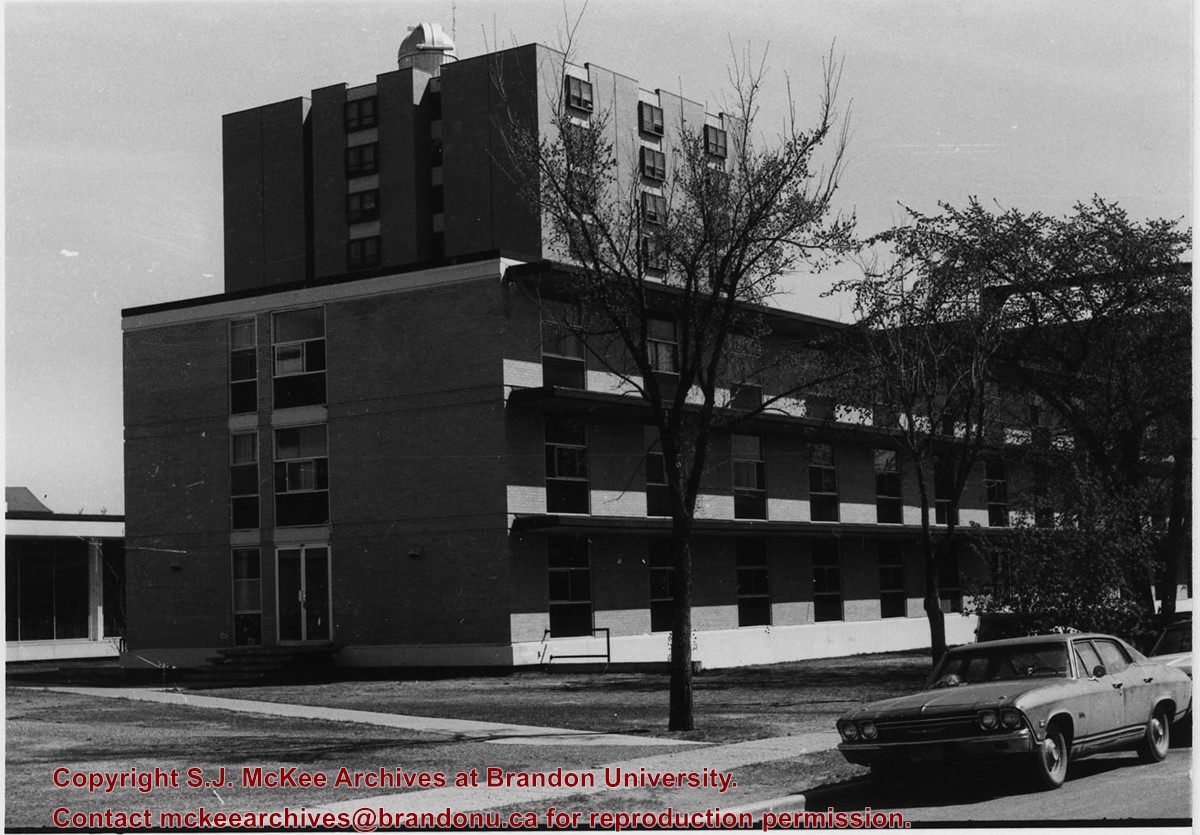
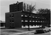
Photograph is looking northeast from the south side of Louise Avenue and shows portions of Darrach Hall, Flora Cowan Hall and McMaster Hall. Part of the John R. Brodie Science Centre is also visible behind the trees along the street.
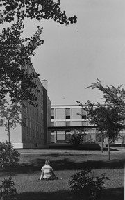
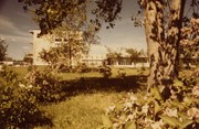
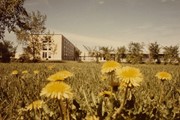
Photograph is looking west from where the John R. Brodie Science Centre currently stands. It shows a girl sitting on the grass with portions of Flora Cowan Hall, the Flora Cowan link and Darrach Hall in the background.
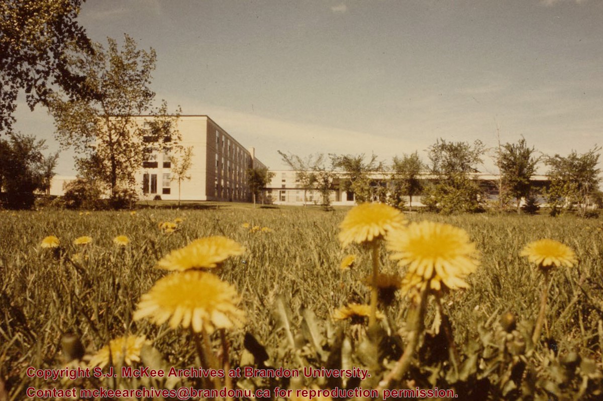
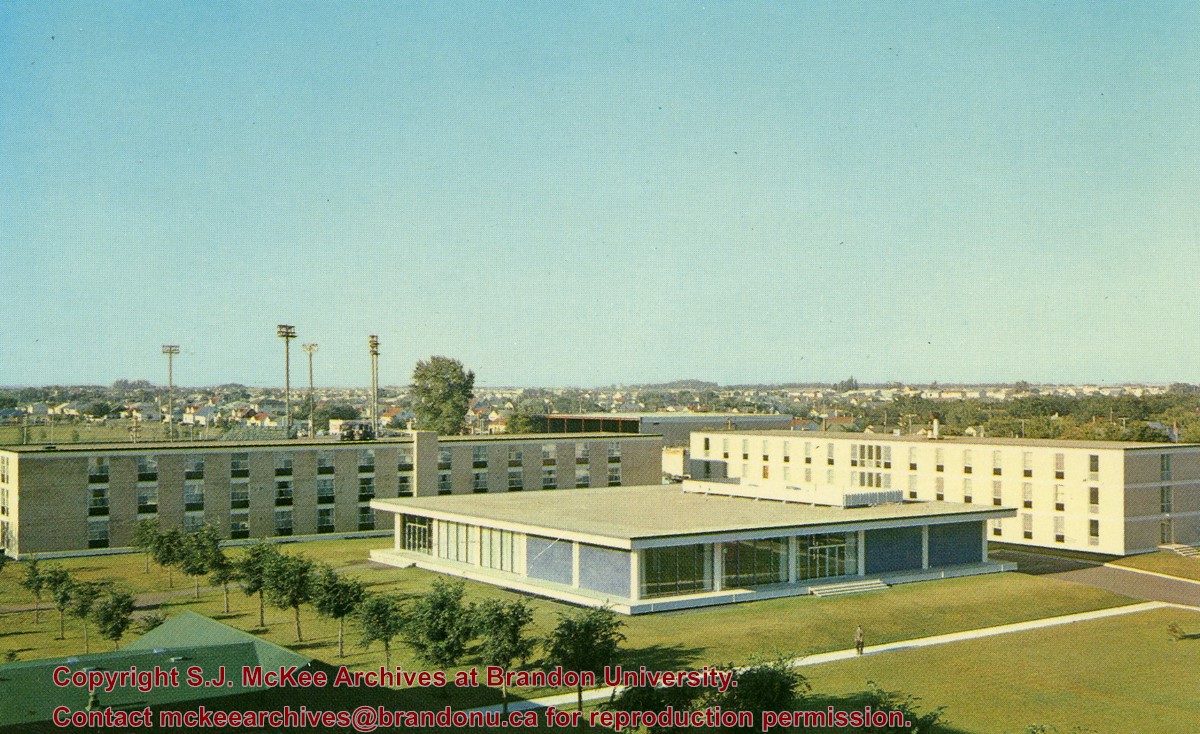
Photograph is looking west from the east side of 18th Street and shows Flora Cowan Hall, the link to the Main Dining Room, the Main Dining Room and Darrach Hall.
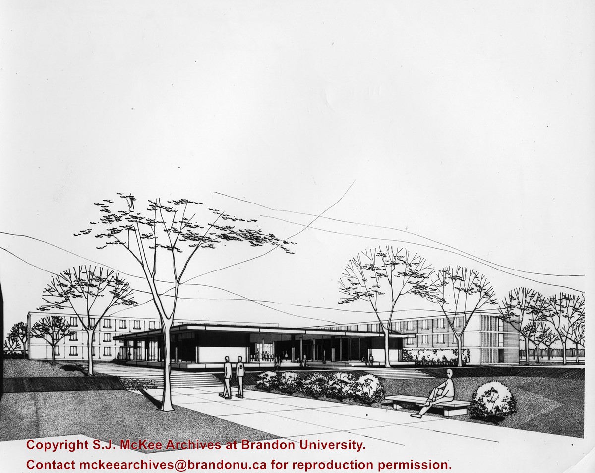
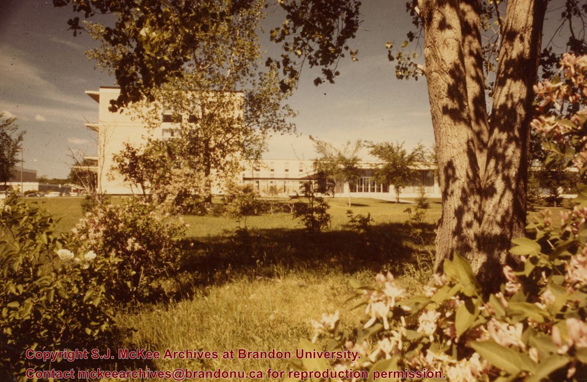
Photograph is looking west from the southeast corner of 18th Street and Louise Avenue (the current site of the John R. Brodie Science Centre). It shows Flora Cowan Hall, the link to the Main Dining Room, the Main Dining Room and Darrach Hall.
The Student Services H-Hut was located between the Brandon College Building and the Citzens' Science Building. It was placed there c. 1950 and it was removed sometime in the 1990s. Originally the H-Hut in this photograph was the Geology Depatment, housing offices, classrooms and the lab.
Scope and Content
Photograph is looking west and shows the entrance to the Student Services H-Hut.
Notes
History/Bio information from Tom Mitchell and Harvey Young.
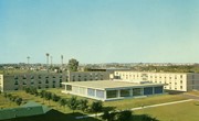
Photograph is looking southwest and is an aerial view of the Main Dining Room, Flora Cowan Hall (women's residence) and Darrach Hall (men's residence). A portion of the quadrangle is also visible.
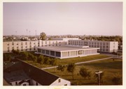
Photograph is looking southwest and is an aerial view of the Main Dining Room, Flora Cowan Hall (women's residence) and Darrach Hall (men's residence). A portion of the quadrangle, the Gymnasium and part of the H-Huts are also visible.


