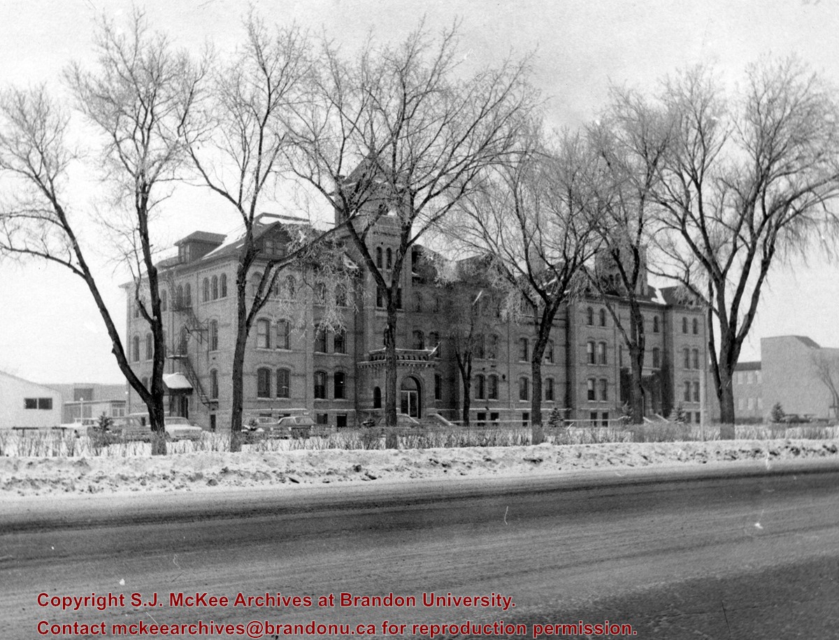
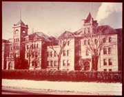
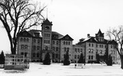
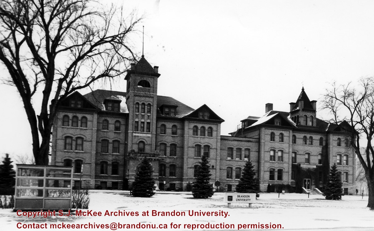
View is northwest from the east side of 18th Street. Photograph shows the Brandon College Building and Clark Hall in winter. The Education Building is visible in the background.
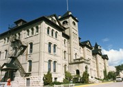
View is southwest. Photograph shows the Brandon College Building and Clark Hall, refered to as the Administrative Building, and the Citizens' Science Centre in the background.
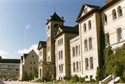
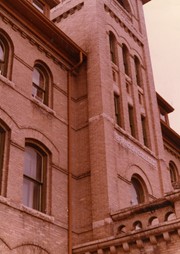
View is south southwest from the driveway. Photograph shows Clark Hall and the Brandon College Building with the Citizens' Science Building and John R. Brodie Science Centre in the background.
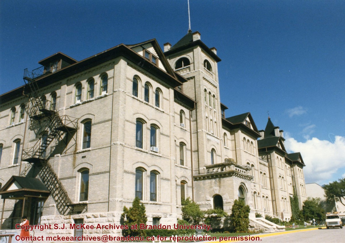
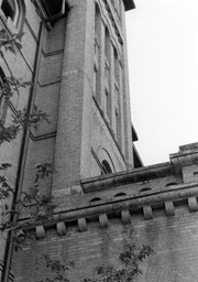
View is north northwest looking down the driveway past the Brandon College Building and Clark Hall. Photograph shows the south side of the Brandon College Building.
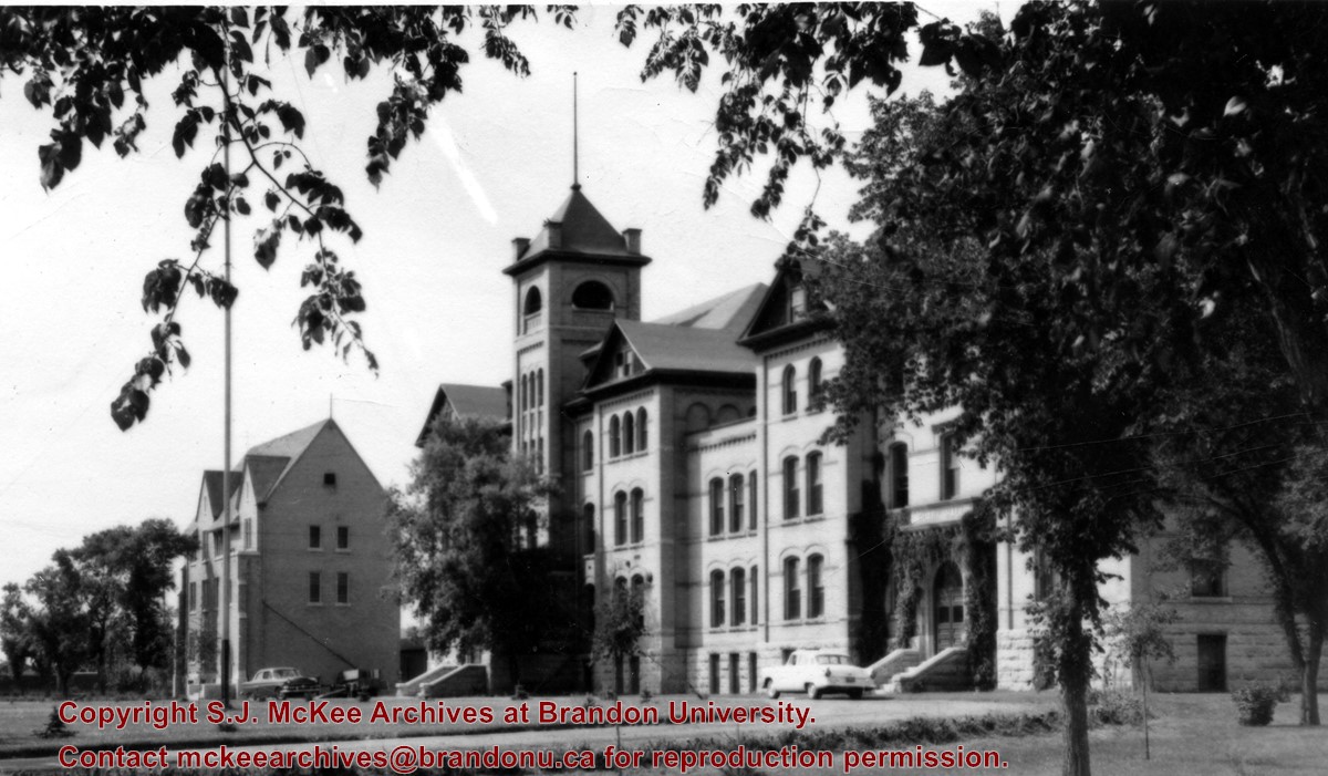
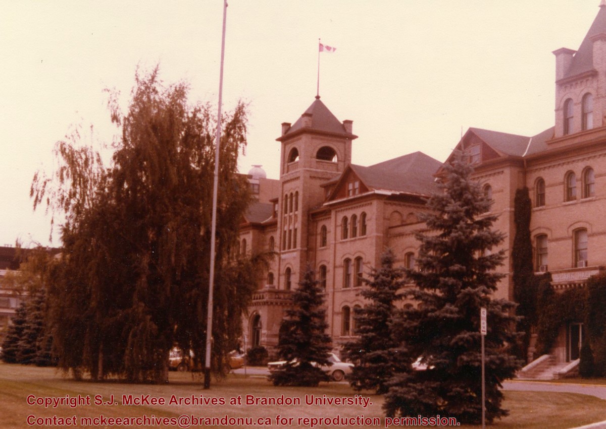
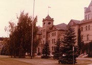
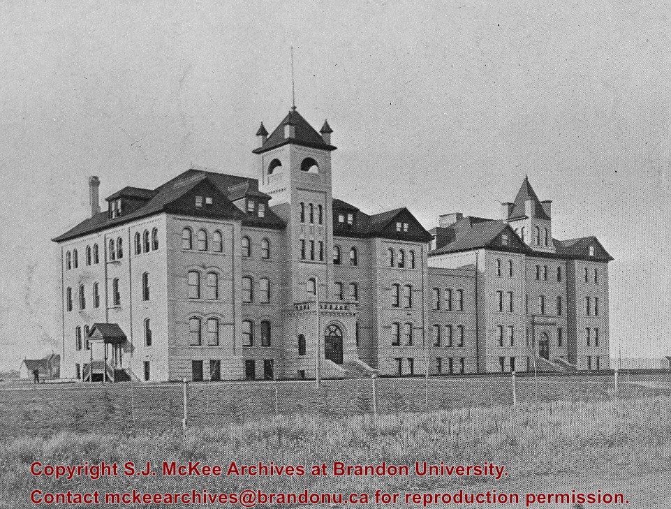
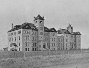
View is southwest from where the driveway meets 18th Street. Photograph shows the Brandon College Building (flying the Canadian flag on the tower), Clark Hall and the front lawn.
Photograph is looking northwest probably from the John R. Brodie Science Centre and shows the Citzens' Science Building, the Brandon College Building, Clark Hall and a portion of the driveway and grounds in front of the buildings.
Postcard shows an aerial view of the city of Brandon
Notes
Writing on the back of the postcard reads: No. 10. Brandon, Manitoba, Canada / Aerial View of Brandon / Distributed by Clements Drug Store / Brandon, Manitoba, Canada / Photos by: R.J. "Bob" Snazel. / Printed by: D.W. Friesen & Sons Ltd. Altona, Manitoba, Canada. The postcard is addressed to Mr. F.A. Rosser and is postmarked Brandon 30 May 1970. A 6-cent Queen Elizabeth red postage stamp portraying various modes of the transportation. The stamp has been cancelled with a postmark that reads "Help Retarded Children."
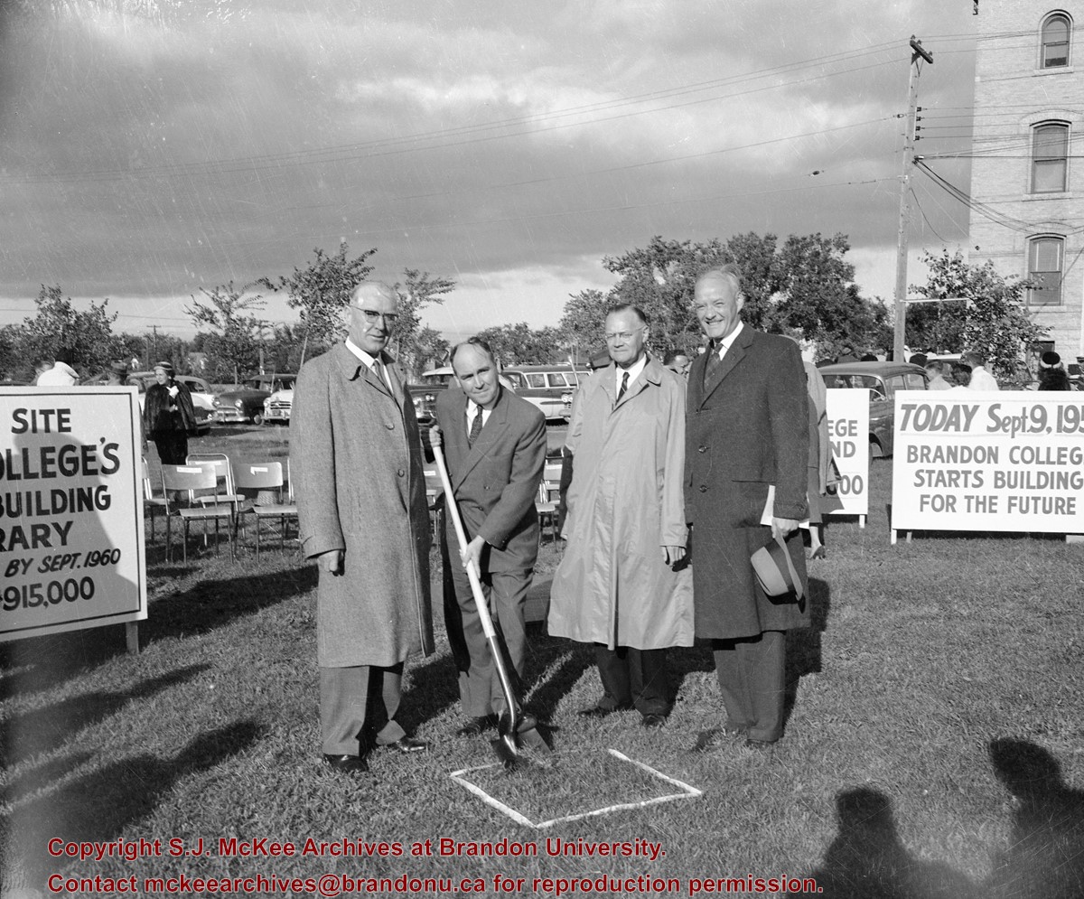
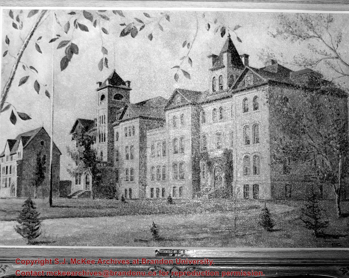
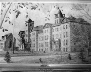
Photograph of a landscape of the Brandon College campus - showing the Brandon College Building, Clark Hall and part of the Citizens' Science Building - presented to the College by the Class of 1960.
The photograph was taken for the Centennial of Brandon College/University.
Scope and Content
Aerial photograph taken looking southwest from approximately the northeast corner of Princess Avenue and 17th Street. The entire campus, as well as a number of residential streets are visible.
View is southwest from approximatley 16th Street between Princess and Rosser Avenues. Photograph shows the Brandon University campus, as well as surrounding residential blocks, including Flemming, J.R. Reid and Vincent Massey schools.
View is west southwest from approximatley 16th Street between Princess and Lorne Avenues. Photograph shows the Brandon University campus, as well as surrounding residential blocks between 16th and 23rd Streets, Princess and Louise Avenues..


.jpg?width=1200&404=no-img.jpg&watermark=wmk)
.jpg?width=180&404=no-img.jpg)
.jpg?width=1200&404=no-img.jpg&watermark=wmk)
.jpg?width=180&404=no-img.jpg)


.jpg%3fmaxheight%3d1000%26maxwidth%3d1000%26watermark%3dwmk&description=Brandon+College+-+Original+Building+%26+Clark+Hall)
.jpg%3fmaxheight%3d1000%26maxwidth%3d1000%26watermark%3dwmk&description=Brandon+College+-+Original+Building+%26+Clark+Hall)