For custodial history see the collection level description of the Lawrence Stuckey collection.
Scope and Content
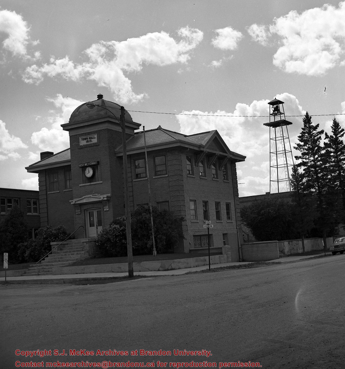
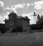
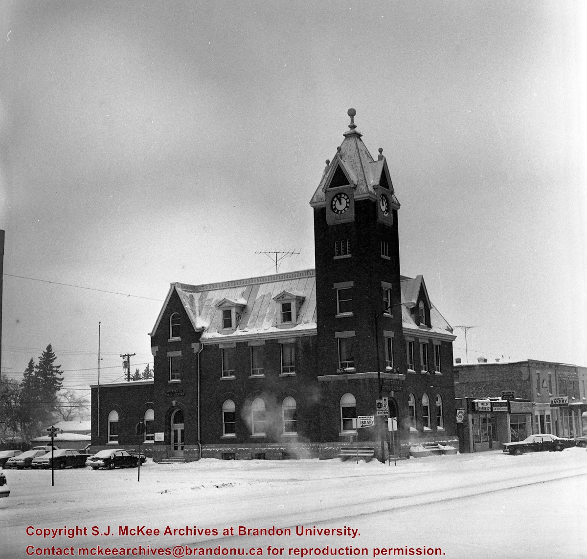
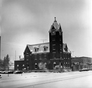
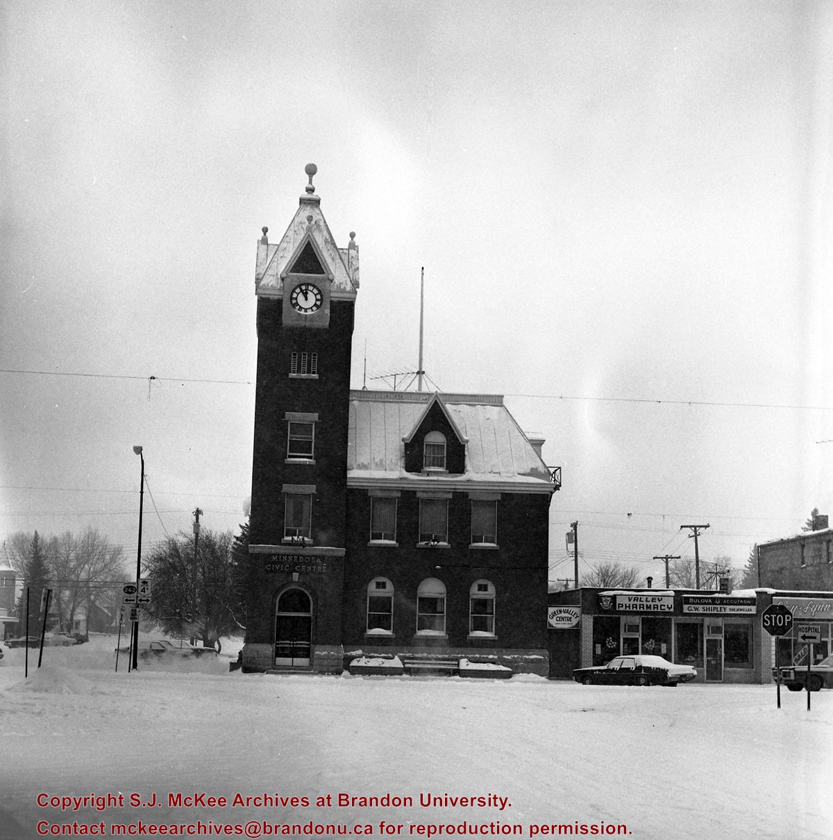
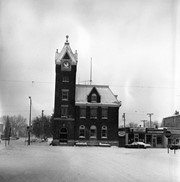
Image of Town Hall with fire bell, Shoal Lake, Manitoba. Image was taken along the CPR Minnedosa & Bredenbury subdivision (ex. Manitoba & N.W. Railway).
These blocks of ice were used to fill the ice houses of the Wheat City Ice Co. (located north of Rosser Avenue on the west side of 15th Street, and south of Princess Avenue on the east side of 17th Street), the CPR icehouses (at the station and 3rd St. & Assiniboine Ave), and the CNR icehouse (at Forth Street and McTavish Avenue). In addition, large quantities of ice were shipped to smaller towns in railcars (usually old refrigerator cars).
Custodial History
For custodial history see the collection level description of the Lawrence Stuckey collection.
Scope and Content
Cutting ice from the Assiniboine River
Notes
This is one of five images that show the method in which ice is cut into blocks and loaded onto sleighs or trucks. Note the large draft horses still in use at this date.
[Mr. Stuckey put five negatives into the same envelope. We have separated them and numbered them H12(1) to H12(5).]
Additional information provided by the Fred McGuinness collection (20-2009).
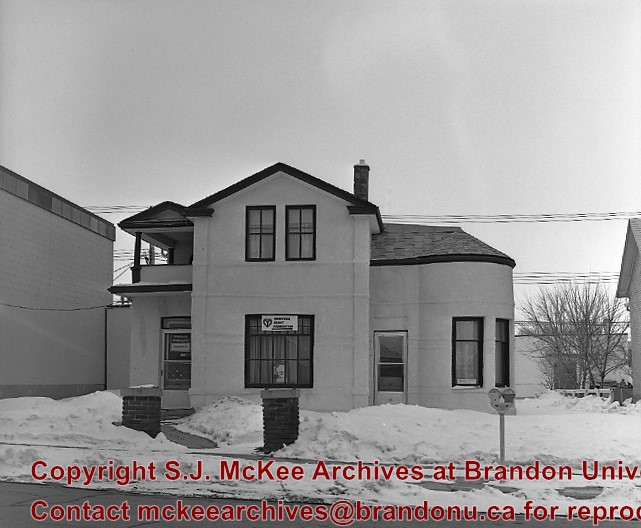
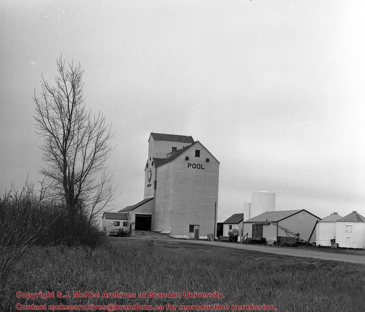
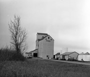
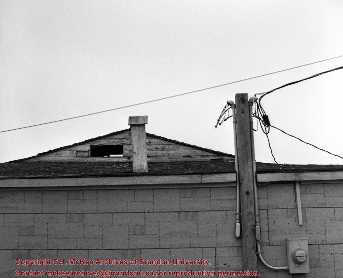
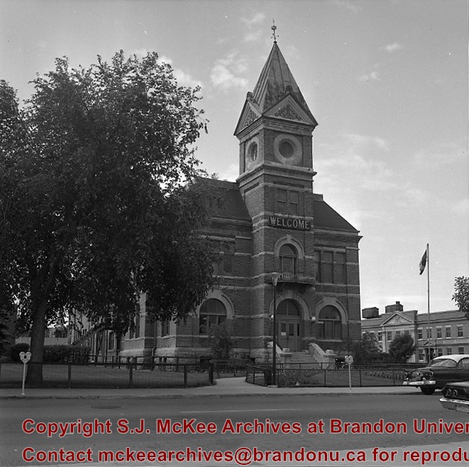
Before becoming the McPherson & Bedford funeral home, I am pretty sure this was the home of Dr. A.T. Condell, who arrived in 1904, left in 1906, returned in 1908, was district coroner for 30 years and died in 1943 (Barker). LAS.
Custodial History
For custodial history see the collection level description of the Lawrence Stuckey collection.
Scope and Content
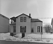
Former McPherson & Bedford Funeral Home
Notes
Located on the west side of the 100 block of 11th Street
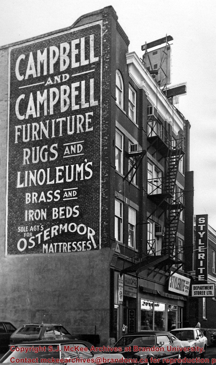
LS notes: Built 1905. This sign has weathered exceptionally well considering the Campbell & Campbell partnership ended in 1920. Company became Campbell & Ferguson with Campbell furniture and Ferguson undertaker.
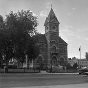
Located at 29 10th Street, Campbell & Campbell remained in business until approximately 1925. In 1927 the business was known as Campbell Fergusson and Wright furniture. Campbell & Fergusson Ltd. continued operations in the building until around 1933. The Henderson's Directory lists the address as vacant in 1935 and 1937. Late in 1939 alterations were begun to turn the building into a barracks for the 71st Battery. In the summer of 1943, in cooperation with city council, the building was converted into a united services centre for the benefit of the personnel of His Majesty's Forces. Brandon's United Service Centre, which catered to more than a half million men and women in the armed services in 21 months officially closed its doors on November 30, 1945; the building had been sold to George Bass in October.
Custodial History
For custodial history see the collection level description of the Lawrence Stuckey collection.
Scope and Content
Campbell & Campbell Building
Notes
Located on the east side of 10th Street, just north of Rosser Avenue. History/Bio taken from Henderson's Directories and the Jack Stothard collection.
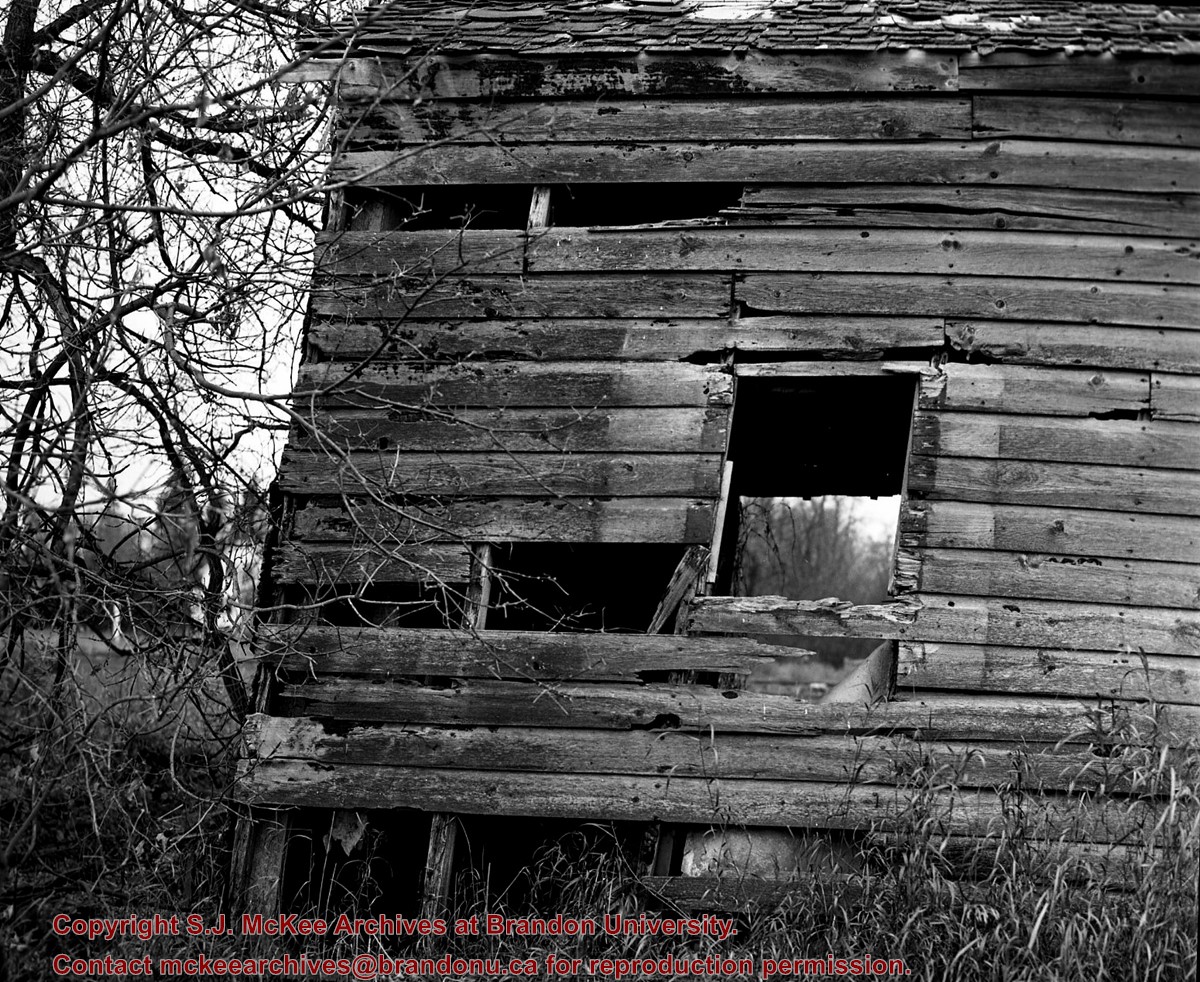
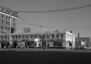
This wedge-shaped tract of woodland was located west of 34th Street on the south side of the Canadian Pacific Railway. It was formerly owned by the Great Northern Railway, and was acquired by the CPR when the GN line was abandoned in 1936. In 1978 Marathon Realty (CPR) sold this 7 acre property to a developer who planned to build condominiums. However this residential development was objected to for two reasons: [The proposed location] was home to many species of flora & fauna, and it was too close to the CPR mainline. Local residents took out a petition against the development. [Mr. Stuckey] wrote a letter to the editor of the Brandon Sun, [expressing the] attitudes of CPR officials, and read a statement to the Provincial Planning Board suggesting development be refused and the area become an undeveloped park. These efforts would prove successful - see file on same.
Custodial History
For custodial history see the collection level description of the Lawrence Stuckey collection.
Scope and Content
John Indian's Bush (also known as Bang's Bush)
Notes
Additional historical information provided by the Fred McGuinness collection (20-2009). Stuckey's letter to the editor appears in the July 22, 1978 issue of The Brandon Sun.
This wedge-shaped tract of woodland was located west of 34th Street on the south side of the Canadian Pacific Railway. It was formerly owned by the Great Northern Railway, and was acquired by the CPR when the GN line was abandoned in 1936. In 1978 Marathon Realty (CPR) sold this 7 acre property to a developer who planned to build condominiums. However this residential development was objected to for two reasons: [The proposed location] was home to many species of flora & fauna, and it was too close to the CPR mainline. Local residents took out a petition against the development. [Mr. Stuckey] wrote a letter to the editor of the Brandon Sun, [expressed the] attitudes of CPR officials, and read a statement to the provincial planning board suggesting development be refused and the area become an undeveloped park. These efforts would prove successful - see file on same.
Custodial History
For custodial history see the collection level description of the Lawrence Stuckey collection.
Scope and Content
John Indian's Bush (also known as Bang's Bush).
Notes
Additional historical information provided by the Fred McGuinness collection (20-2009). Stuckey's letter to the editor appears in the July 22, 1978 issue of The Brandon Sun.
.jpg?width=1200&404=no-img.jpg&watermark=wmk)
.jpg?width=180&404=no-img.jpg)
.jpg?width=1200&404=no-img.jpg&watermark=wmk)
.jpg?width=180&404=no-img.jpg)
.jpg?width=1200&404=no-img.jpg&watermark=wmk)
.jpg?width=180&404=no-img.jpg)
.jpg?width=1200&404=no-img.jpg&watermark=wmk)
.jpg?width=180&404=no-img.jpg)
.jpg?width=1200&404=no-img.jpg&watermark=wmk)
.jpg?width=180&404=no-img.jpg)


.jpg?width=1200&404=no-img.jpg&watermark=wmk)
.jpg?width=180&404=no-img.jpg)
.jpg?width=1200&404=no-img.jpg&watermark=wmk)
.jpg?width=180&404=no-img.jpg)
.jpg%3fmaxheight%3d1000%26maxwidth%3d1000%26watermark%3dwmk&description=Cutting+Ice+from+the+Assiniboine+River)
.jpg%3fmaxheight%3d1000%26maxwidth%3d1000%26watermark%3dwmk&description=Cutting+Ice+from+the+Assiniboine+River)
.jpg%3fmaxheight%3d1000%26maxwidth%3d1000%26watermark%3dwmk&description=Cutting+Ice+from+the+Assiniboine+River)
.jpg%3fmaxheight%3d1000%26maxwidth%3d1000%26watermark%3dwmk&description=Cutting+Ice+from+the+Assiniboine+River)
.jpg%3fmaxheight%3d1000%26maxwidth%3d1000%26watermark%3dwmk&description=Cutting+Ice+from+the+Assiniboine+River)
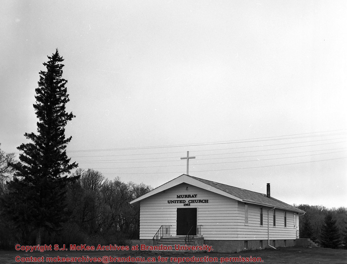
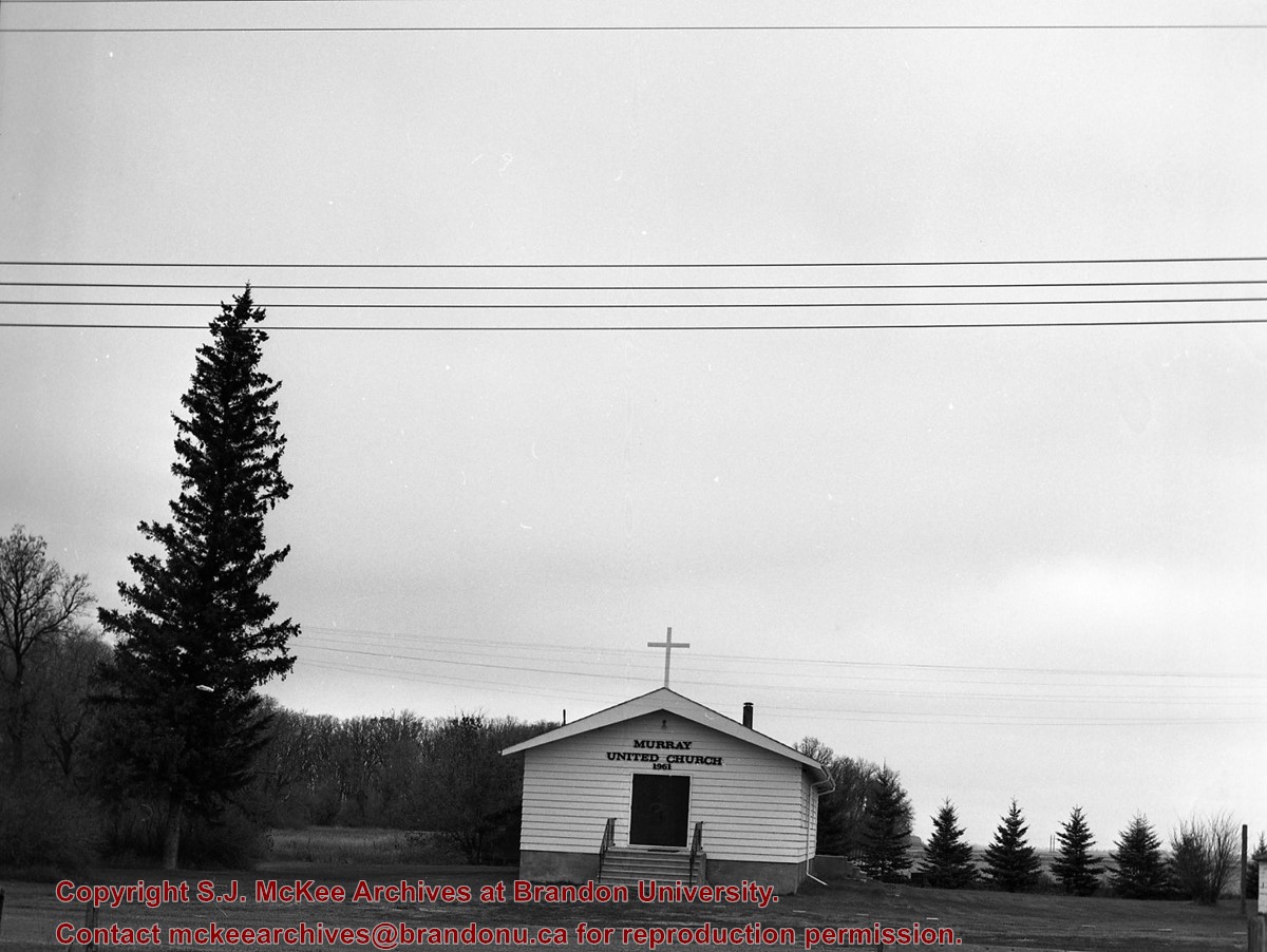
+United+Church%2c+detail+of+rink%2c+Oakland%2c+Manitoba)
+United+Church%2c+detail+of+rink%2c+Oakland%2c+Manitoba)
+United+Church%2c+detail+of+rink%2c+Oakland%2c+Manitoba)
+United+Church%2c+detail+of+rink%2c+Oakland%2c+Manitoba)
+United+Church%2c+detail+of+rink%2c+Oakland%2c+Manitoba)
.jpg%3fmaxheight%3d1000%26maxwidth%3d1000%26watermark%3dwmk&description=John+Indian%27s+Bush)
.jpg%3fmaxheight%3d1000%26maxwidth%3d1000%26watermark%3dwmk&description=John+Indian%27s+Bush)