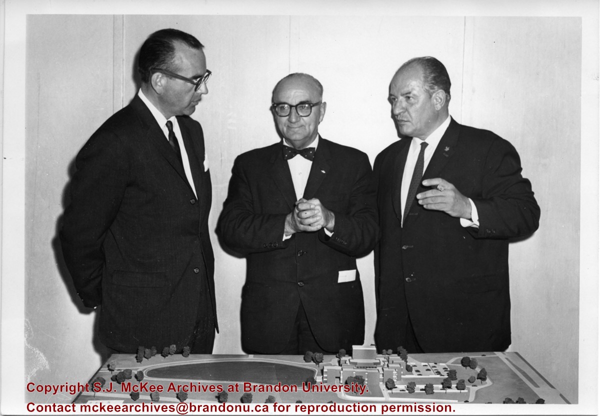
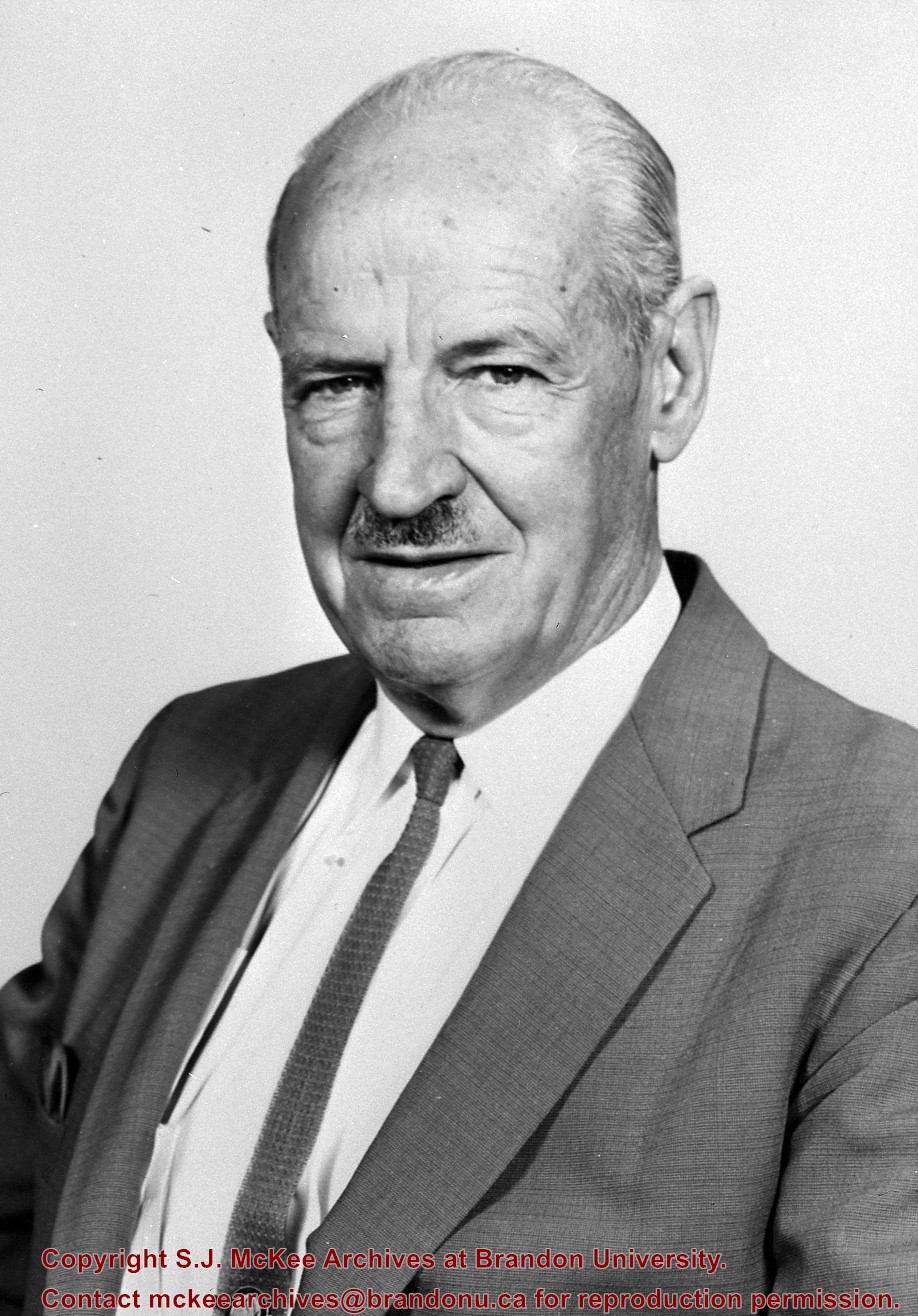
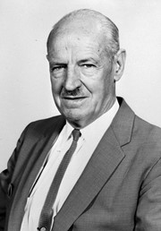
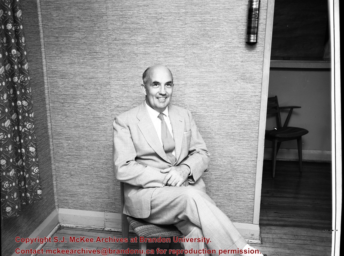
Photograph shows Fred McGuinness standing with Newfoundland Premier Joey Smallwood (centre) and the Centennial Commissioner John Fisher (right). The men are standing before an architectural model.
Notes
Writing on the back of the photograph reads: On tour of Newfoundland as member, board of directors Canadian Centennial Commission, McG, Premier Smallwood, & John Fisher, Centennial Commissioner, 1965
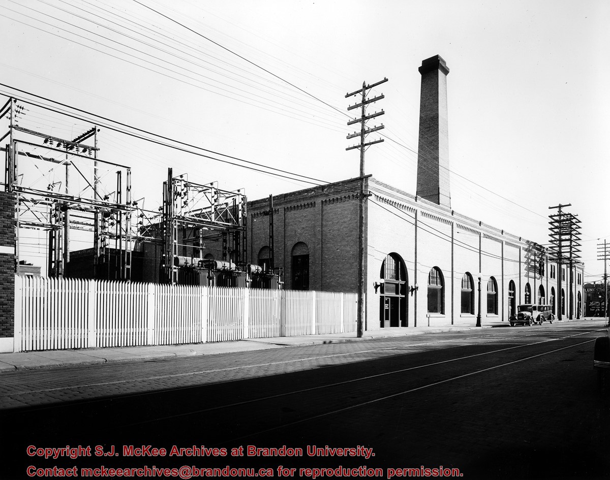
Photograph is looking southeast from the west side of 10th Street and shows the Manitoba Power Commission building and its transformers. The tracks for the Municipal Street Railway system are visible running north to south down 10th Street.
Repro Restriction
The McKee Archives is the copyright holder for the Stuckey materials.
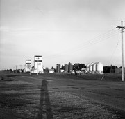
Stuckey's notes: Brookdale is on long abandoned CPR Varcoe substation. Elevators are now privately owned by J.L. Jones Farms and have no rail connection.
Custodial History
For custodial history see the collection level description of the Lawrence Stuckey collection.
Scope and Content
Image of grain elevators, etc. Brookdale, Manitoba, near the CPR North rail line.
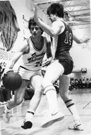
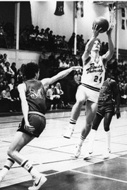
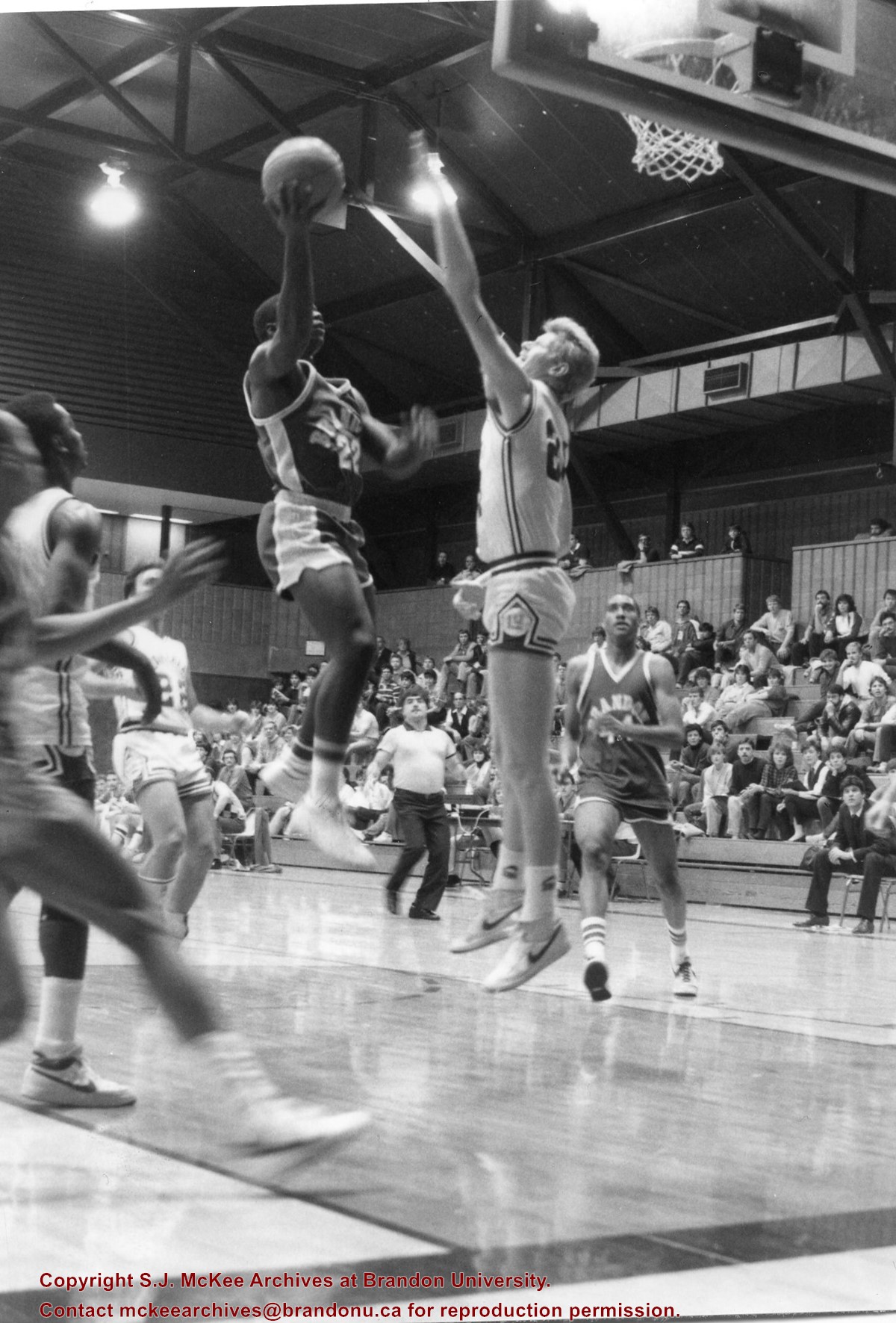
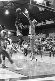
Photograph taken during a game between the Brandon University Bobcats and Lakehead University. Bobcats Kenny Fields (#22) with the ball, Patrick Jebbison (#44) in the background.
Postcard is of buildings at Brandon University, including Clark Hall and the Original Building prior to the renovations, McMasater Hall, and the Q.E.II School of Music building.
Notes
Writing on the front of the postcard reads: Brandon University. Back of the postcard reads: (Top Left) Brandon University original building (Administration Center.), Bottom Left) Queen Elizabeth II Music Building, (Right) McMaster Hall Residence; Photo by Sandy Black; Printed in Brandon, Manitoba, Canada, by Leech Printing Ltd.
View is northwest from the roof of the John R. Brodie Science Centre. Photograph shows the roof of the Knowles Douglas Students' Union Centre, the Citizens' Science Building, and the Brandon College Building and Clark Hall during renovation.
Photograph was taken from the roof of the Library and shows the walkway and flower bed on the southeast corner of the George T. Richardson Centre. The Physical Plant H-Hut is visible in the top right hand corner.
View is southwest from the roof of the George T. Richardson Centre. Photograph shows the curved glass wall of the John E. Robbins Library, the walkway between the Library and the Dining Hall, the Dining Hall and Darrach Hall.
View is east northeast from the sidewalk on the southeast corner of the George T. Richardson Centre (John R. Robbins Library). Photographs shows the campus during winter, including the Physical Plant and Development H-Huts, as well as the Brandon College Building and Clark Hall after the majority of the renovations were completed.
View is southwest from 18th Street, just north of the Brandon University sign. Tken during the summer, the photograph shows the front lawn, a portion of the flower bed, the Citizens' Science Building, the Knowles Douglas Students' Union Centre, the John R. Brodie Science Centre and McMaster Hall.
View is northeast. Photograph shows the green space before the Library extension in 1993. Brandon College Building and the Development H-Hut in the background.
View is northwest from the roof of the John R. Brodie Science Centre. Photograph shows part of McMaster Hall, the H-Huts, the Citzens' Science Building, the Brandon College Building and Clark Hall, the driveway, the J.R.C. Evans Lecture Theatre, the A.E. McKenzie Building and the Queen Elizabeth II Music Building.
View is northwest from the sidewalk on the west side of 18th Street. Photograph shows the John R. Brodie Science Centre sign, McMaster Hall and its entrance, the lawn in from of McMaster Hall, a portion of the Knowles Douglas Students' Union Centre and the Citizens' Science Building.


