Image shows the Brandon College campus from 17th Street looking southwest. The photo was taken after the completion of the original Music Building in 1963, but construction of the Education Building. Also visible are a number of properties on the 200 block of 18th Street and the 200 block of 20th Street.
View is east northeast from approximately 22nd Street between Lorne and Louise Avenues. Photograph shows: Brandon College (before planting of trees in quadrangle and before the Education Building), McKenzie Seeds, Prince Edward Hotel, Central United (St. Paul's) Church, St. Augustine's Church.
View is east from approximatley 22nd Street between Lorne and Louise Avenues. Photograph shows: Darrach Hall, Flora Cowan Hall and the Citizens' Science Building, as well as a number of homes in the area.
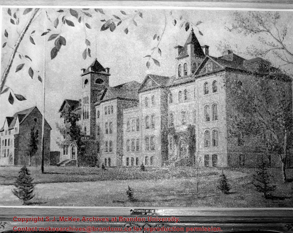
Photograph of a landscape of the Brandon College campus - showing the Brandon College Building, Clark Hall and part of the Citizens' Science Building - presented to the College by the Class of 1960.
Image is looking east northeast from approximately the 300 block of 23rd Street between Lorne and Louise Avenues. Photograph shows the Brandon College campus after the opening of the original Music Building in 1963, but before the construction of the Education Building in 1966. A number of house on the 300 blocks of 22nd and 21st Streets are visible in the foreground, with the A.E. McKenzie Seed Co., the Prince Edward Hotel and various grain elevators on the horizon.
View is north, taken from approximatley 19th Street and Rosser Avenue. Photograph shows: Clark Hall, the A.E. McKenzie Building, the J.R.C. Evans Lecture Theatre, H-Huts, Darrach Hall and Flora Cowan Hall, as well as a number of homes in the area.
View is northwest from approximately the corner of 18th Street and Louise Avenue. Photograph shows the Brandon College campus after the completion of Flora Cowan Hall.
Notes
BUPC 2.1.20 is a larger version of this photograph.
The bottom right hand corner has been torn off. Both portions of the photograph are stored together.
Scope and Content
View is northwest from approximately 17th Street and Victoria Avenue. Photograph shows: the Brandon College campus and the Kinsmen Park and baseball diamond. Taken during construction of Flora Cowan Hall but before the Gymnasium was built.
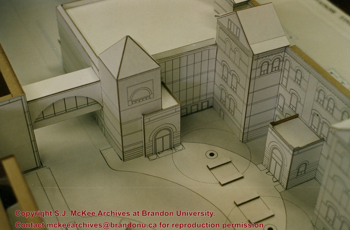
Photograph of a proposed model for the Brandon College and Clark Hall renovations. Model shows the courtyard, the link, the skywalk and the new rear entrance.
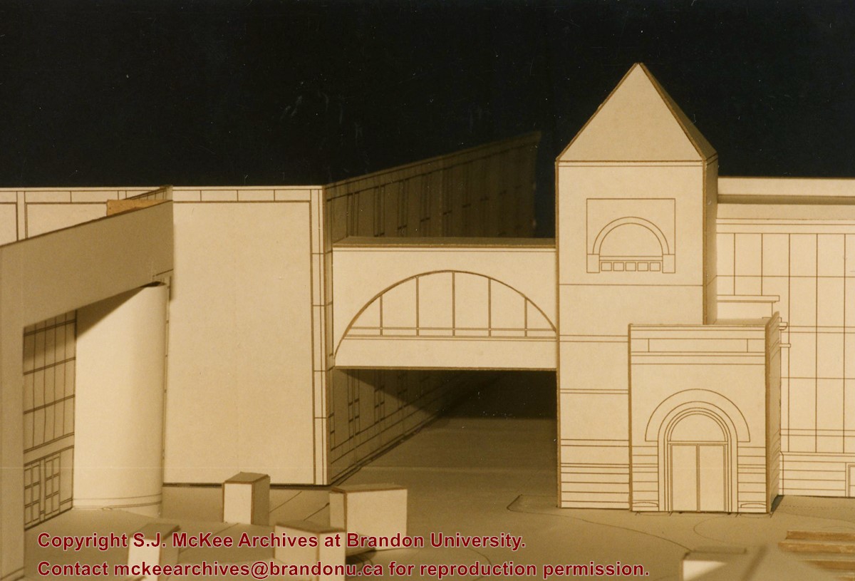
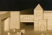
Photograph of a proposed model for the Brandon College and Clark Hall renovations. Model shows the link, the skywalk, the A.E. McKenzie Building and part of the George T. Richardson Centre.
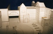
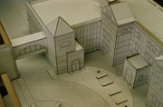
Photograph of a proposed model for the Brandon College and Clark Hall renovations. Photograph is looking down on the model, which shows the link, the skywalk, west side of Clark Hall and the Original Building and the courtyard.
Photograph is looking northwest probably from the John R. Brodie Science Centre and shows the Citzens' Science Building, the Brandon College Building, Clark Hall and a portion of the driveway and grounds in front of the buildings.
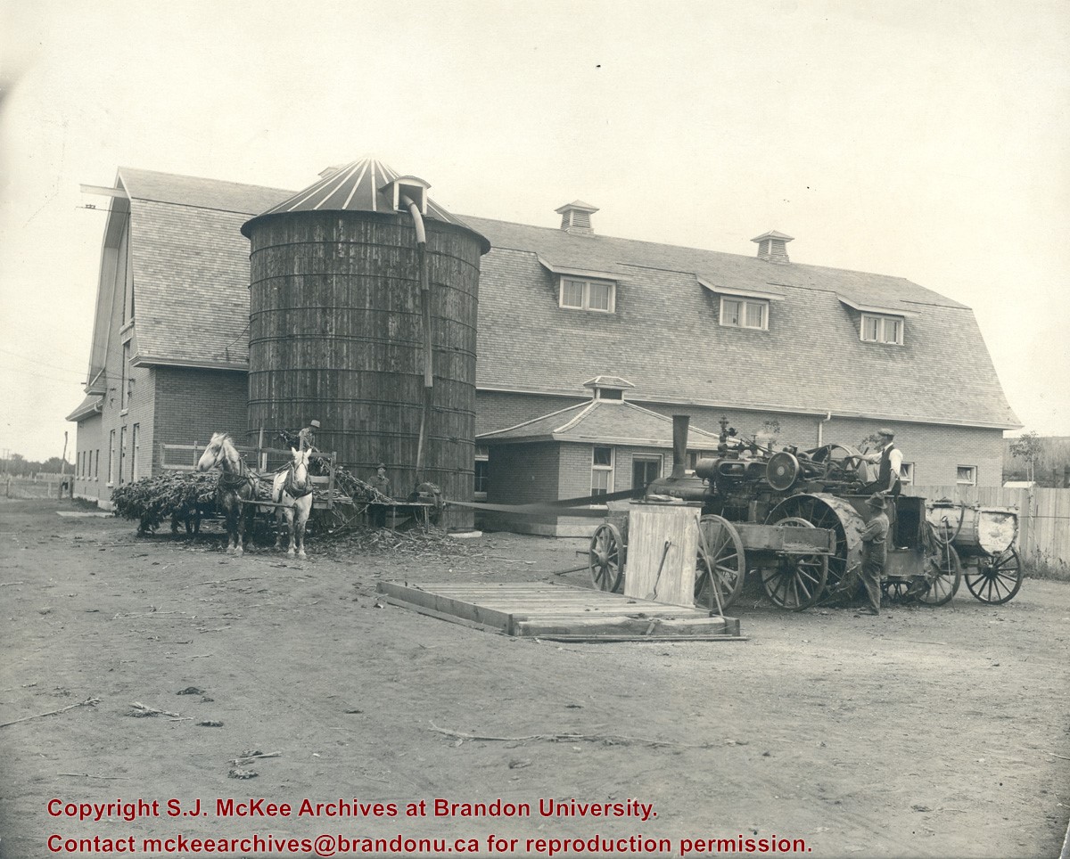
Photograph shows the Manitoba Agricultural College located at Treesbank, MB. Photograph shows a large barn-like structure comprised of brick and a wooden silo in the side yard. A steam engine is processing a field crop (corn perhaps) that is then being funneled into the silo.


)