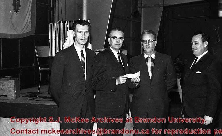
The Wasagaming Foundation was founded in 1964 to plan an educational centre at Clear Lake, part of which would become Camp Wannakumbac in 1965. The Foundation was the joint effort of MPE, Federated Co-opertives Limited, Manitoba Farm Bureau, and United Grain Growers.
See also fonds level description of RG 4 for history/bio of MPE
Scope and Content
.This sub-series consists of two files of the Wasagaming Foundation.
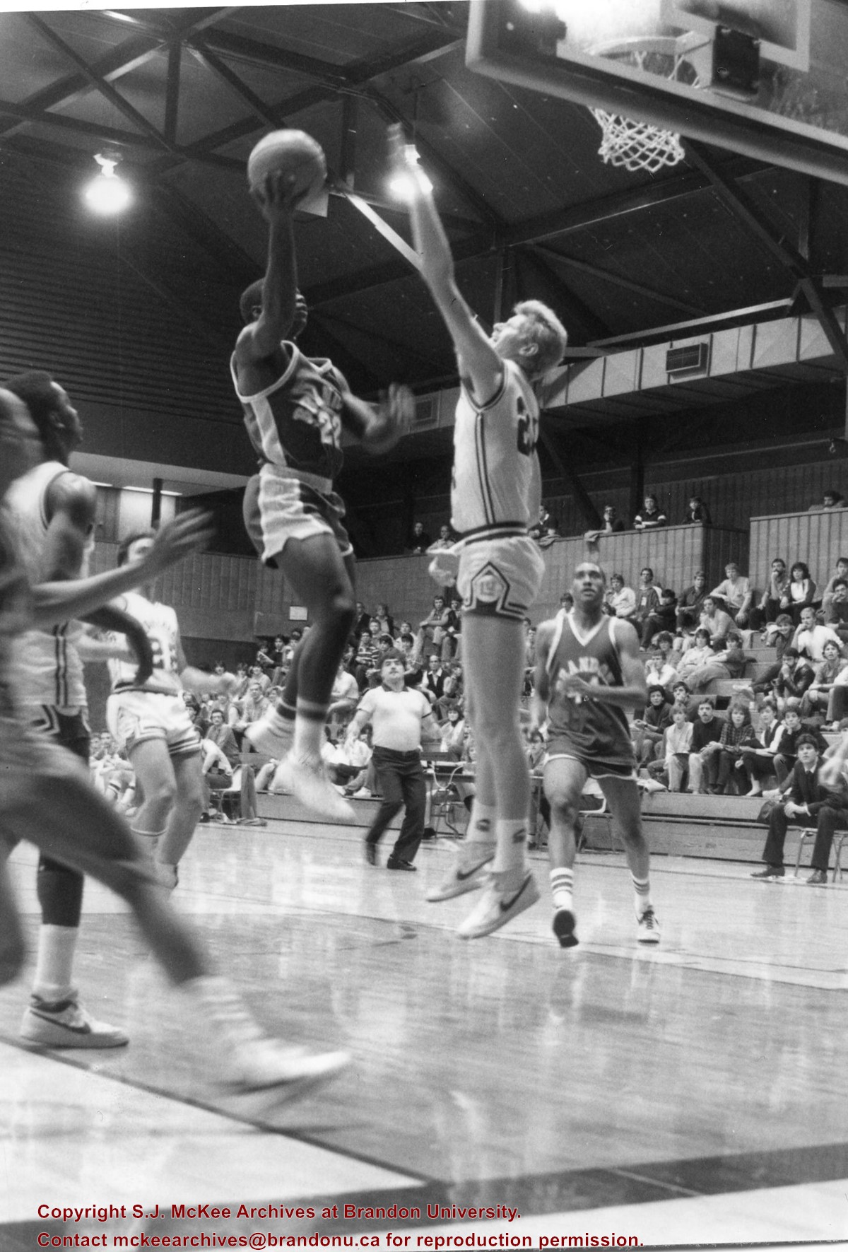
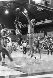
Photograph taken during a game between the Brandon University Bobcats and Lakehead University. Bobcats Kenny Fields (#22) with the ball, Patrick Jebbison (#44) in the background.
File consists of correspondence from C.W. Kennedy, BU Registrar re: bursary for "Charlie", various correspondence 1983-1985 between Clark and BU employees, 1985 BU COnvocation, correspondence re: Nigeria, "Brandon University An Economic Impact Study"
Storage Location
RG 6 Brandon University fonds
MG 3 Brandon University Teaching and Administration
1.14.1 W. Leland Clark - political career
Box 5
Built in 1991-1992 for $1.4 million, the official opening of the Centre was May 29, 1992. The centre is currently (April 2010) called the Addictions Foundation of Manitoba, Parkwood Centre.
Custodial History
For custodial history see the collection level description of the Lawrence Stuckey collection.
Scope and Content
Alcoholism Foundation of Manitoba (AFM), Parkwood Treatment Centre located on Victoria Avenue East.
Built in 1991-1992 for $1.4 million, the official opening of the Centre was May 29, 1992. The centre is currently (April 2010) called the Addictions Foundation of Manitoba, Parkwood Centre.
Custodial History
For custodial history see the collection level description of the Lawrence Stuckey collection.
Scope and Content
Alcoholism Foundation of Manitoba (AFM), Parkwood Treatment Centre.
View is southwest from approximately 18th Street and Lorne Avenue. Photograph shows the Brandon University campus in winter, including: the Brandon University sign, the John R. Brodie Science Centre, the Citizens' Science Building and McMaster Hall.
View is southwest from the north side of Princess Avenue. Photograph shows the original Music Building, the north driveway entrance and parts of Clark Hall and the Brandon College building.
View is southwest from the sidewalk on the west side of 18th Street. Photograph shows the Brandon University sign, the front lawn, the Citizens' Science Building, McMaster Hall and the John R. Brodie Science Centre.
View is south from the north side of Princess Avenue. Photograph shows the walkway leading south across campus, the original Music Building, the A.E. McKenzie Building, the J.R.C. Evans Lecture Theatre, Flora Cowan Hall and Darrach Hall.
View is southwest from Princess Avenue. Photograph shows the original Music Building, the A.E. McKenzie Building, the J.R.C. Evans Lecture Theatre and Darrach Hall. Also visible are the field where the Western Manitoba Centennial Auditorium now stands, as well as a number of houses on 20th Street.
View is northeast fron the west side of the Dining Hall. Photograph shows portions of the J.R.C. Evans Lecture Theatre and the A.E. McKenzie Building, as well as an H-Hut, Clark Hall, the Brandon College Building and the quadrangle.
View is north from approximately the Citizens' Science Building. Photograph shows the driveway running in front of the Brandon College Building and Clark Hall, a number of cars and students along the driveway and the Education Building in the background.
.jpg?width=1200&404=no-img.jpg&watermark=wmk)
.jpg?width=180&404=no-img.jpg)
.jpg?width=1200&404=no-img.jpg&watermark=wmk)
.jpg?width=180&404=no-img.jpg)


.jpg%3fmaxheight%3d1000%26maxwidth%3d1000%26watermark%3dwmk&description=Alcoholism+Foundation+of+Manitoba%2c+Parkwood+Treatment+Centre)
.jpg%3fmaxheight%3d1000%26maxwidth%3d1000%26watermark%3dwmk&description=Alcoholism+Foundation+of+Manitoba+Parkwood+Treatment+Centre)