In 1901, American entrepreneur Francis Hector Clergue (1856-1939) obtained the charter for the Ontario, Hudson Bay and Western Railway. Following his purchase, he reincoporated the Algoma Central Railway to the Algoma Central and Hudson's Bay Railway. (Source: Sault St. Mairie Public Library, "Transportation - Algoma Central Railway," Sault History Online, 2008)
Scope and Content
Photograph shows railroad tracks cutting through the Canadian Shield.
Notes
Writing beneath the photograph in the album reads: Algoma Central & Hundson Bay Ry.
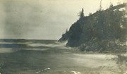
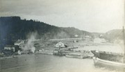
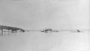
Brient was a point along the Algoma Central Railway line that connected the Helen Mine to the Michipicoten Harbour. It is located southwest of Wawa, Ontario.
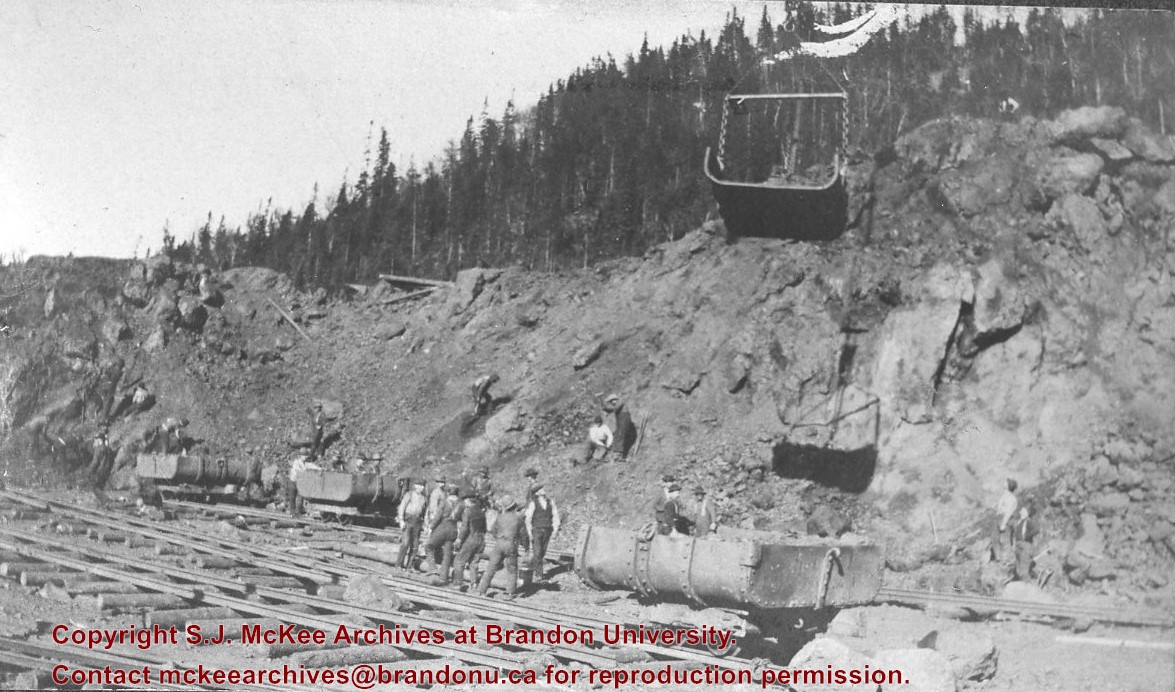
Scope and Content
Photograph shows ore box cars in a railway yard.
Notes
Writing beneath the photograph in the album reads: yard at Brient
Trembley was a point along the Algoma Central Railway line that connected the Helen Mine to the Michipicoten Harbour. It is located southwest of Wawa, Ontario.
Scope and Content
Photograph shows railroad tracks. A line of ore cars stretch along one track. Writing on the side of one of the cars (#3017) reads: Algoma Central Railway Co.
Notes
Writing beneath the photograph in the album reads: Trembley - Ore Cars
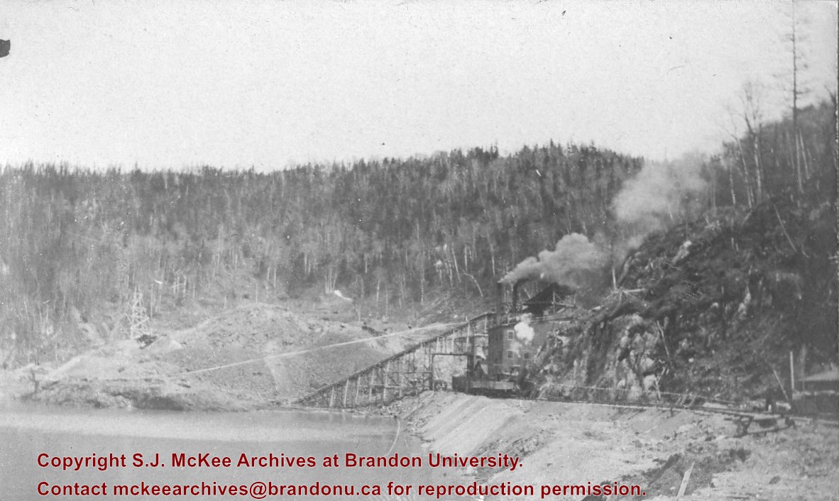
The Lake Talbot tresle was a point along the Algoma Central Railway line that connected the Helen Mine to the Michipicoten Harbour. It is located north of Wawa and southwest of the Helen Mine.
Scope and Content
Photograph shows several men walking a railway line. Before them is a tresle bridge.
Notes
Writing beneath the photograph in the album reads: Lake Talbott Tresle [sic.]
Paper clip marks stain the top and bottom right corners
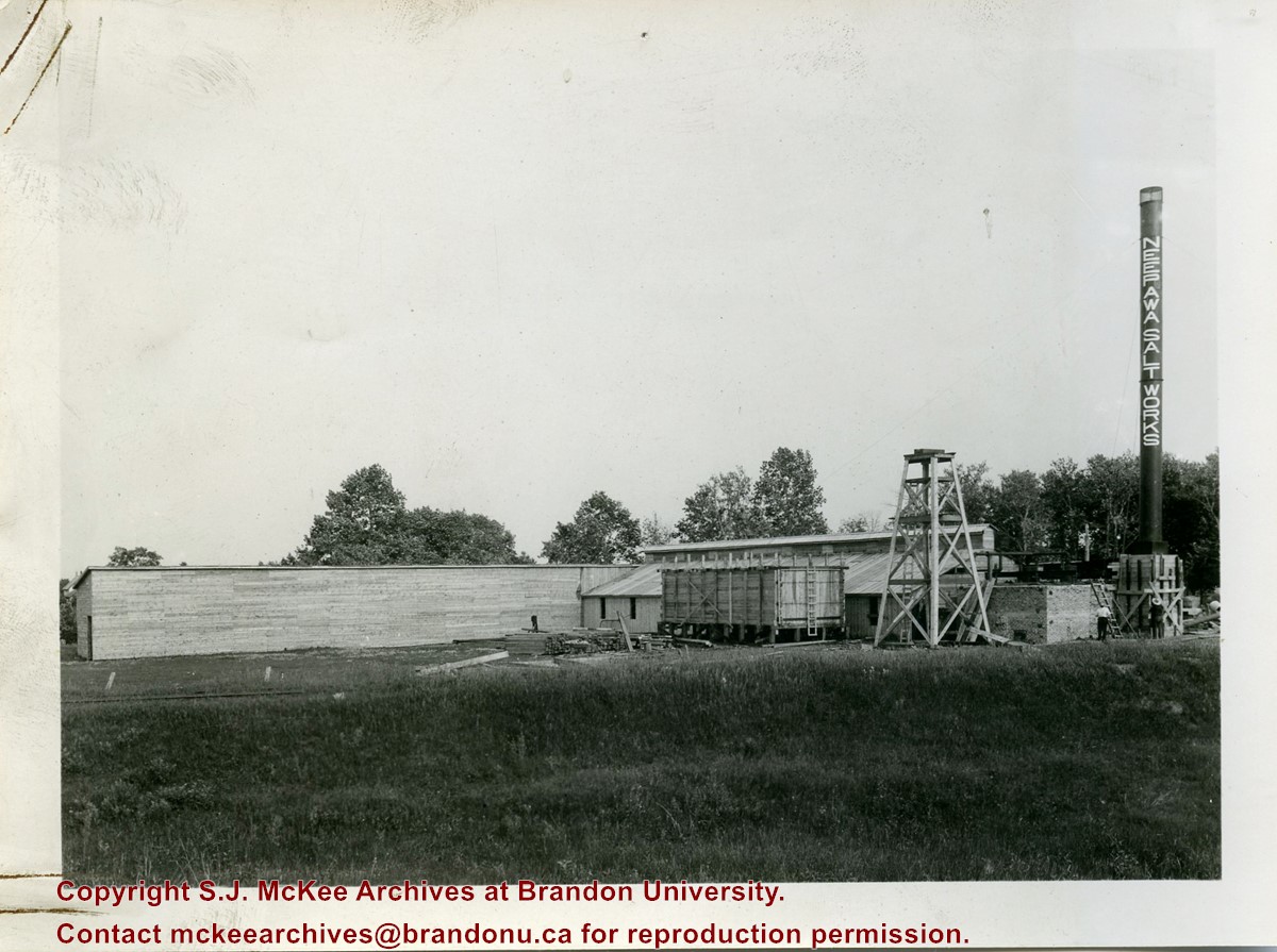
History / Biographical
In 1932, the Neepawa Salt Company began producing salt from saline pools in the Neepawa area. According to Virgina Petch (2006), brine was pumped from two drilled wells and salt was extracted via vacuum pan evaporation process. (Source: "Salt-Making in Manitoba," Manitoba History Journal, No. 51, 2006)
Scope and Content
Photograph shows an overview of the salt well at the Neepawa Salt Works.
Paper clip marks stain the top and bottom right corners
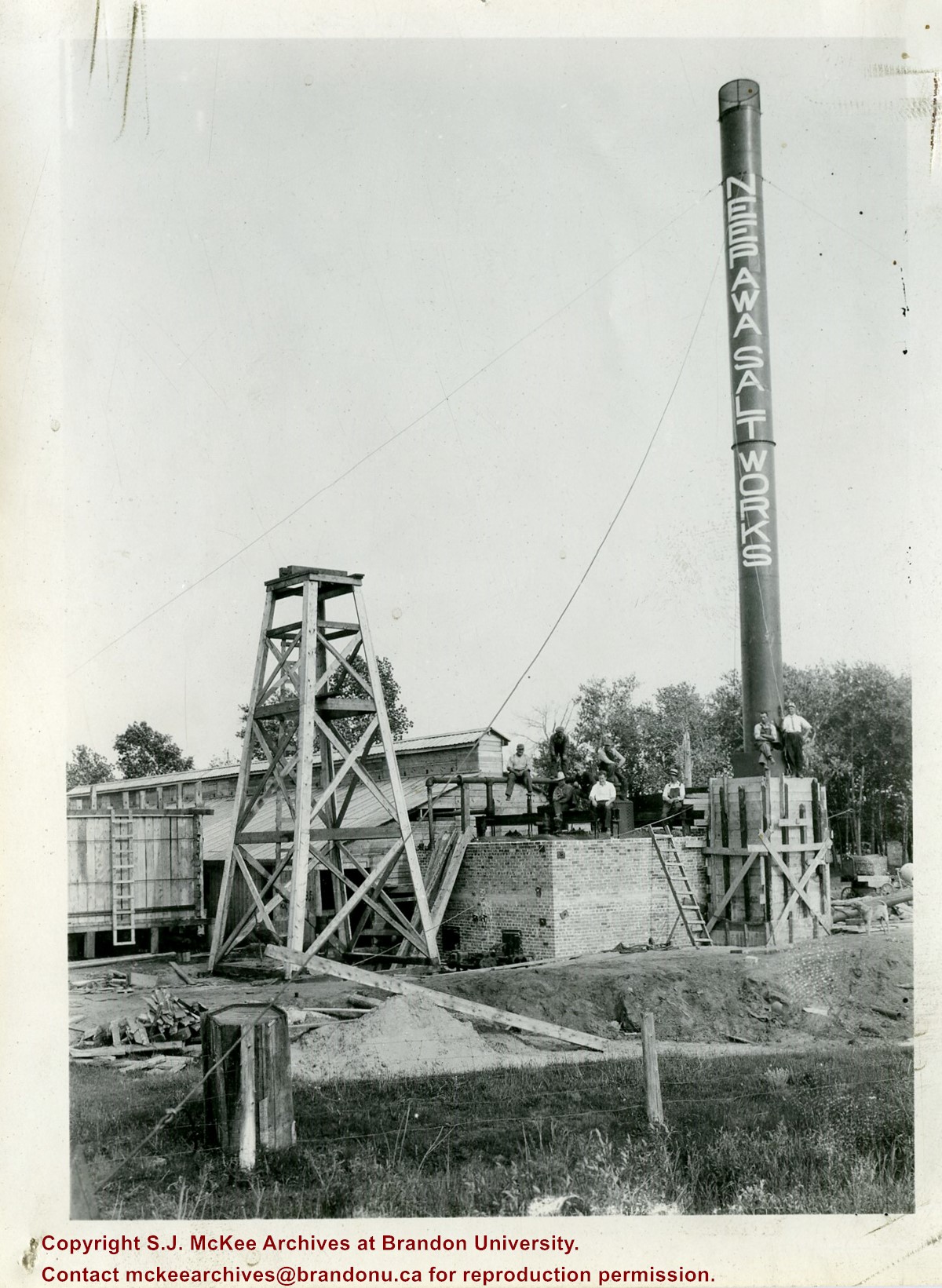
History / Biographical
In 1932, the Neepawa Salt Company began producing salt from saline pools in the Neepawa area. According to Virgina Petch (2006), brine was pumped from two drilled wells and salt was extracted via vacuum pan evaporation process. (Source: "Salt-Making in Manitoba," Manitoba History Journal, No. 51, 2006)
Scope and Content
Photograph shows a close-up of a salt well pump at the Neepawa Salt Works.
Slide was in the possession of John Everitt before its donation to the SJ McKee Archives in 2007.
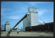
Scope and Content
Item is an image of grain elevators (Paterson Grain, United Grain Growers, Pool B) along the Killarney, MB rail line.
Repro Restriction
The SJ McKee Archives is the copyright holder for the John Everitt collection and as such is providing access to the John Everitt slide collection for educational and research purposes only. To publish, copy or otherwise use these images, written permission must be obtained from the SJ McKee Archives. Any issues arising from the use of an item is the responsibility of the persons desiring to use the item, as is the securing of any necessary permissions for use.
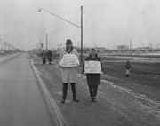
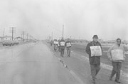
Excavated earth was loaded into a hopper, which itself was on a rail running a half block back. It was then dumped back to fill the trench where pipe installation had already been completed - Art Baker (of Art's Confectionery, NE 15th St. & Princess Ave.). This information was provided in response to a request in the Brandon Sun (Fred McGuinness) for further information.
Custodial History
For custodial history see the collection level description of the Lawrence Stuckey collection.
Scope and Content
Brandon sewer line construction
Notes
View of Pacific Avenue, looking east from 5th Street
Brient was a point along the Algoma Central Railway line that connected the Helen Mine to the Michipicoten Harbour. It is located southwest of Wawa, Ontario.
Scope and Content
Photograph shows several men standing on railway tracks before a wood-framed train station in the winter. A sign attached to the station reads: British American Express Co. The man in the foreground appears to have a mailbag over on his back and several newspapers tucked beneath his arm.
Notes
Writing beneath the photograph in the album reads: station at Brient


