Red ink stain is on the front right corner of postcard
Scope and Content
Photograph shows 10th Street facing south from Princess Avenue. Visible landmarks and businesses include: Manitoba Power Commission (MPC)'s power sub-station, First Baptist Church, Wheat City Arena, and the grand stand at the Exhibition Grounds.
The partial sign visible at the bottom of the photograph on the east side of 10th Street reads Yates and Neale, which refers to a plumbing and heating company that dissolved in 1943 to be replaced by Neale, Stothard and Chapman.
Businesses on the west side of 10th Street include: Dominion Tire & Radio Co., Bolts Barber Shop, Elviss T.E. Co. Stables.
Notes
Information concerning Yates and Neale courtesy Jack Stothard. Writing on the front of the postcard reads: Brandon, Looking S.W., Jerrett Photo. This photograph shows a rare view of the 200-block of 10th Street.
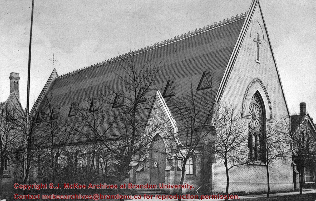
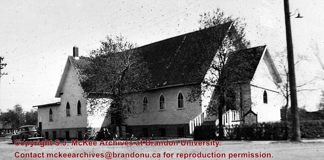
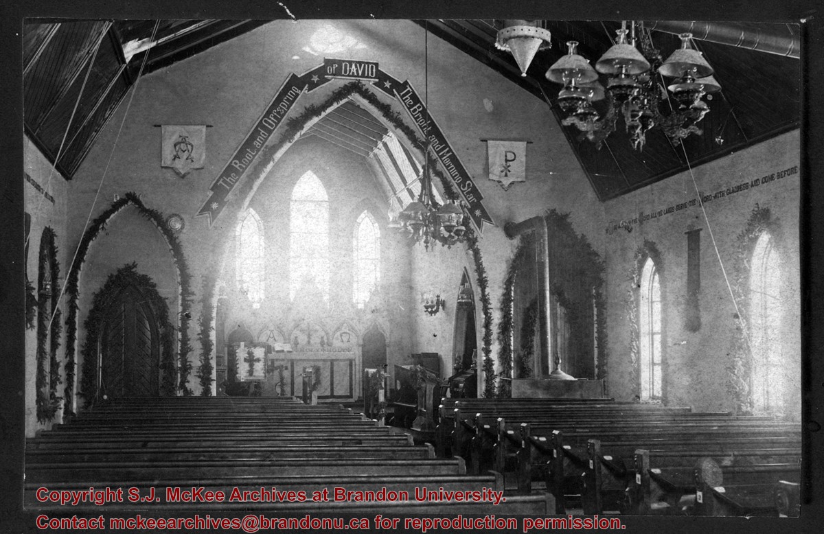
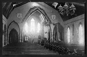
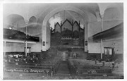
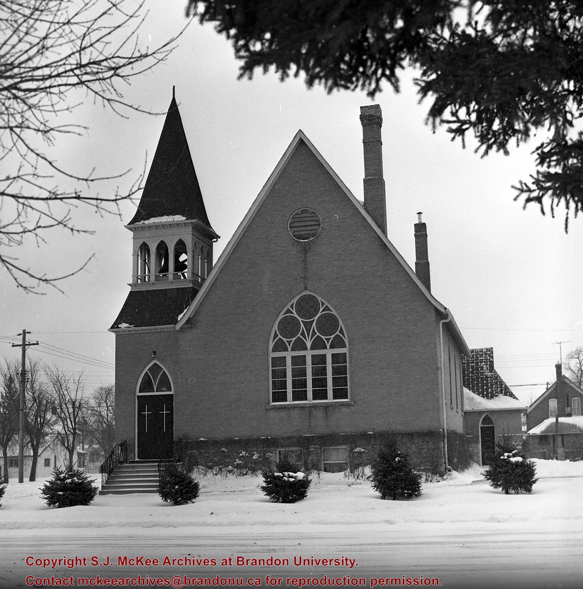
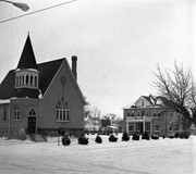
St. Paul's Presbyterian Church, which became St. Paul's United Church, and then Central United Church was located at 327 8th Street in Brandon, MB. The original church was destroyed by fire in 1986.
Scope and Content
Photograph shows the interior of the St. Paul's Presbyterian Church in Brandon, MB.
Notes
History/Bio information provided by Jim Stettner, Organ Historical Society Database (2022).
For custodial history see the collection level description of the Lawrence Stuckey collection.
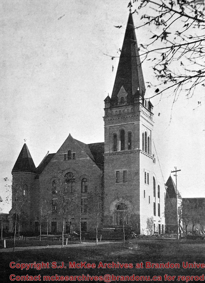
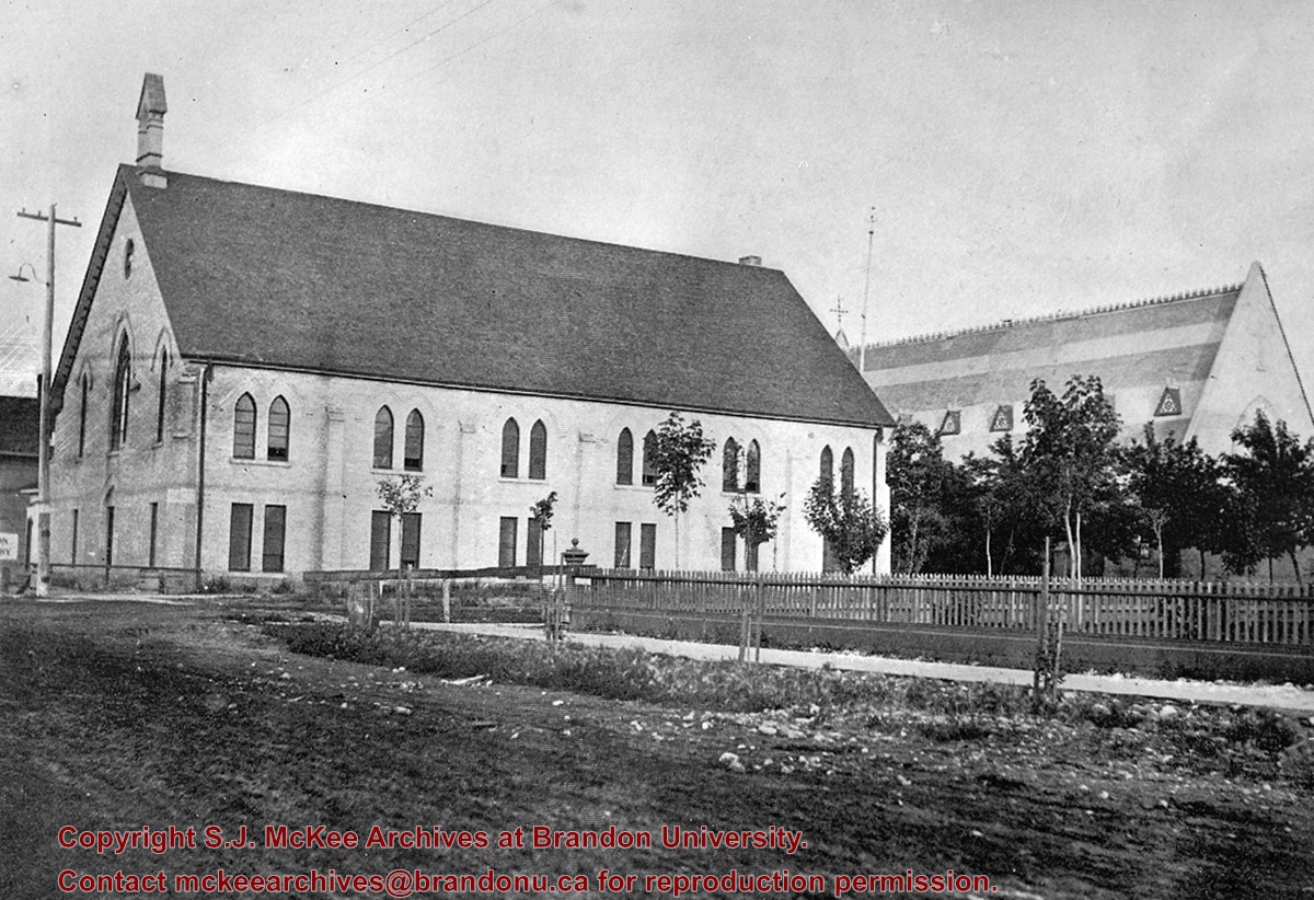
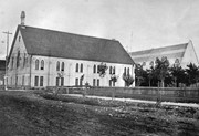
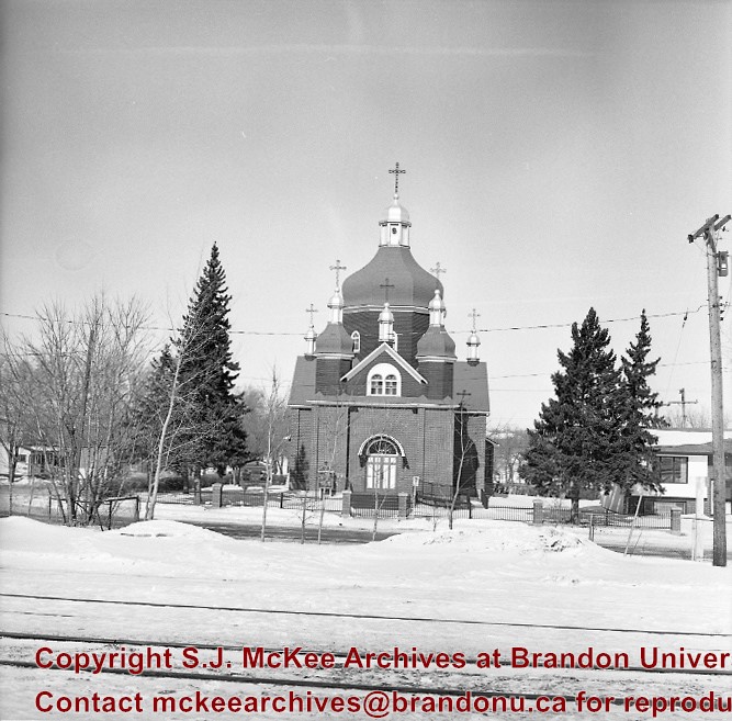
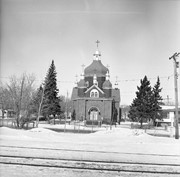
Scope and Content
St. Mary's Roman Catholic Church; view from CPR station
[Mr. Stuckey was incorrect in calling St. Mary's a "Roman" Catholic Church. In actuality, The Nativity of the Blessed Virgin Mary Parish is a Ukrainian Catholic Church. P.E. 12/06/09]
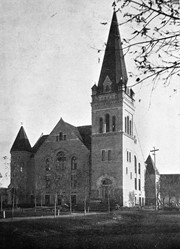
Photograph shows exterior views of five Brandon churches: Baptist Church, Presbyterian Church, St. Matthew's Church, Catholic Church and Monastery, and Methodist Church.
Notes
Part of "Christie's Brandon Series of Six Colored Picture Postcards of Brandon, Manitoba, The Crown Series, Published by Christie's Bookstore, Brandon, Man." [note: missing sixth postcard]. Writing on the front of the photograph reads: Baptist Church, Presbyterian Church Brandon Man., St. Matthew's Church, Catholic Church and Monastery, Methodist Church.
For custodial history see the collection level description of the Lawrence Stuckey collection.
Scope and Content
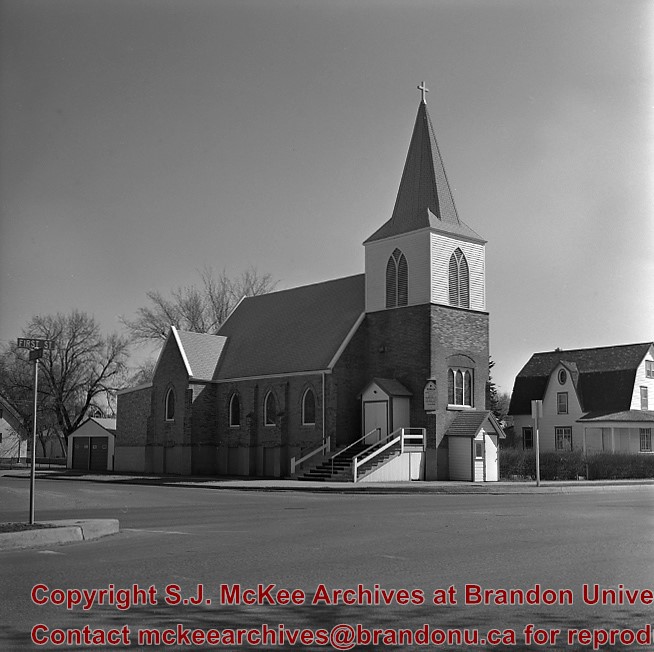
Image of Bethel Church (1895) on Highways 2 & 21 west of Deleau, Manitoba.
Notes
[Brandon SW includes communities south of Trans-Canada #1 highway and west of PTH #10.] [Images 349a and 349b are images of the exterior of the church, and images 349c-349-e are images of the stained glass windows.]
For custodial history see the collection level description of the Lawrence Stuckey collection.
Scope and Content
Image of Bethel Church (1895) on Highways 2 & 21 west of Deleau, Manitoba.
Notes
[Brandon SW includes communities south of Trans-Canada #1 highway and west of PTH #10.] [Images 349a and 349b are images of the exterior of the church, and images 349c-349-e are images of the stained glass windows.]
.jpg?width=1200&404=no-img.jpg&watermark=wmk)
.jpg?width=180&404=no-img.jpg)
.jpg?width=1200&404=no-img.jpg&watermark=wmk)
.jpg?width=180&404=no-img.jpg)


.jpg%3fmaxheight%3d1000%26maxwidth%3d1000%26watermark%3dwmk&description=St.+Augustine%e2%80%99s+Roman+Catholic+Church)
.jpg%3fmaxheight%3d1000%26maxwidth%3d1000%26watermark%3dwmk&description=St.+Augustine%e2%80%99s+Roman+Catholic+Church+Offices)
+Church+and+manse%2c+Carberry%2c+Manitoba.)
+Church+and+manse%2c+Carberry%2c+Manitoba.)
+Church+and+manse%2c+Carberry%2c+Manitoba.)
+on+Highways++2+%26+21+west+of+Deleau%2c+Manitoba.)
+on+Highways++2+%26+21+west+of+Deleau%2c+Manitoba.)
+on+Highways++2+%26+21+west+of+Deleau%2c+Manitoba.)
+on+Highways++2+%26+21+west+of+Deleau%2c+Manitoba.)