View is north northwest from the John R. Brodie Science Center (?). Photograph shows: Citizens' Science Building, Brandon College Building and Clark Hall, the Education Building and the driveway running in front of the buildings.
View is southwest from the John R. Brodie Science Centre. Photograph shows: Flora Cowan Hall, the Brandon University Gymnasium, Darrach Hall, the Quill trailer and the Jeff Umphrey Centre.
View is northwest from approximately the corner of 18th Street and Louise Avenue. Photograph shows the Brandon College campus after the completion of Flora Cowan Hall.
Notes
BUPC 2.1.20 is a larger version of this photograph.
The bottom right hand corner has been torn off. Both portions of the photograph are stored together.
Scope and Content
View is northwest from approximately 17th Street and Victoria Avenue. Photograph shows: the Brandon College campus and the Kinsmen Park and baseball diamond. Taken during construction of Flora Cowan Hall but before the Gymnasium was built.
See MG 1 Brandon College Teaching and Administration, 1.11 Martin Johns fonds for custodial history.
Scope and Content
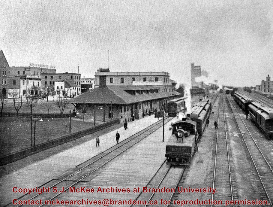
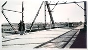
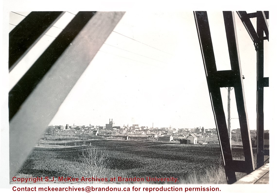
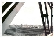
Photograph is looking south southeast from the Assiniboine bridge on 18th Street and shows the Brandon cityscape in the background.
Notes
Writing on the back of the photo reads: "Brandon from the Assiniboine bridge. The 2 girls were just local coloring. Don't ask me who they were or are? The College is just off the street on the right away in the background."


.jpg?width=1200&404=no-img.jpg&watermark=wmk)
.jpg?width=180&404=no-img.jpg)


/12-2004_6.jpg?width=1200&404=no-img.jpg&watermark=wmk)
/12-2004_6.jpg?width=180&404=no-img.jpg)
/12-2004_14.jpg?width=1200&404=no-img.jpg&watermark=wmk)
/12-2004_14.jpg?width=180&404=no-img.jpg)
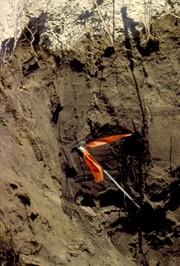
.jpg%3fmaxheight%3d1000%26maxwidth%3d1000%26watermark%3dwmk&description=Flintstone+Hill+1998-2000+-+Test+Unit+5+north+profile)
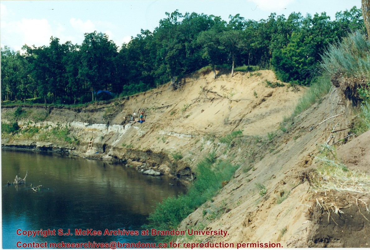
%2f12-2004_6.jpg%3fmaxheight%3d1000%26maxwidth%3d1000%26watermark%3dwmk&description=Baldur%2c+MB+from+south)
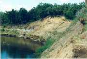
%2f12-2004_14.jpg%3fmaxheight%3d1000%26maxwidth%3d1000%26watermark%3dwmk&description=Baldur%2c+Manitoba+from+southwest)