Aerial photographs of the campus were generally commissioned by the College/University to record important milestones, such as centennials, changes in status, and building projects. The general campus photographs were placed in this sub-series because the composition of the images made it difficult to place them with individual buildings.
Scope and Content
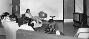
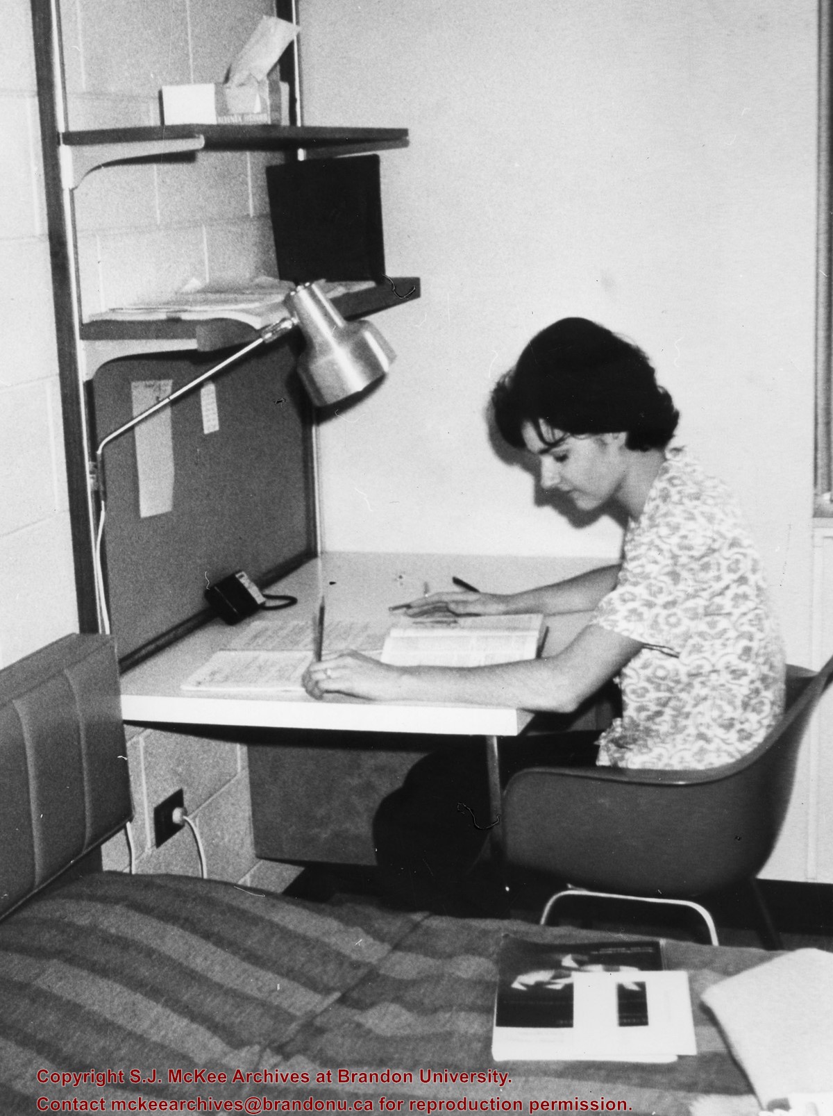
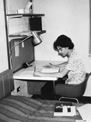
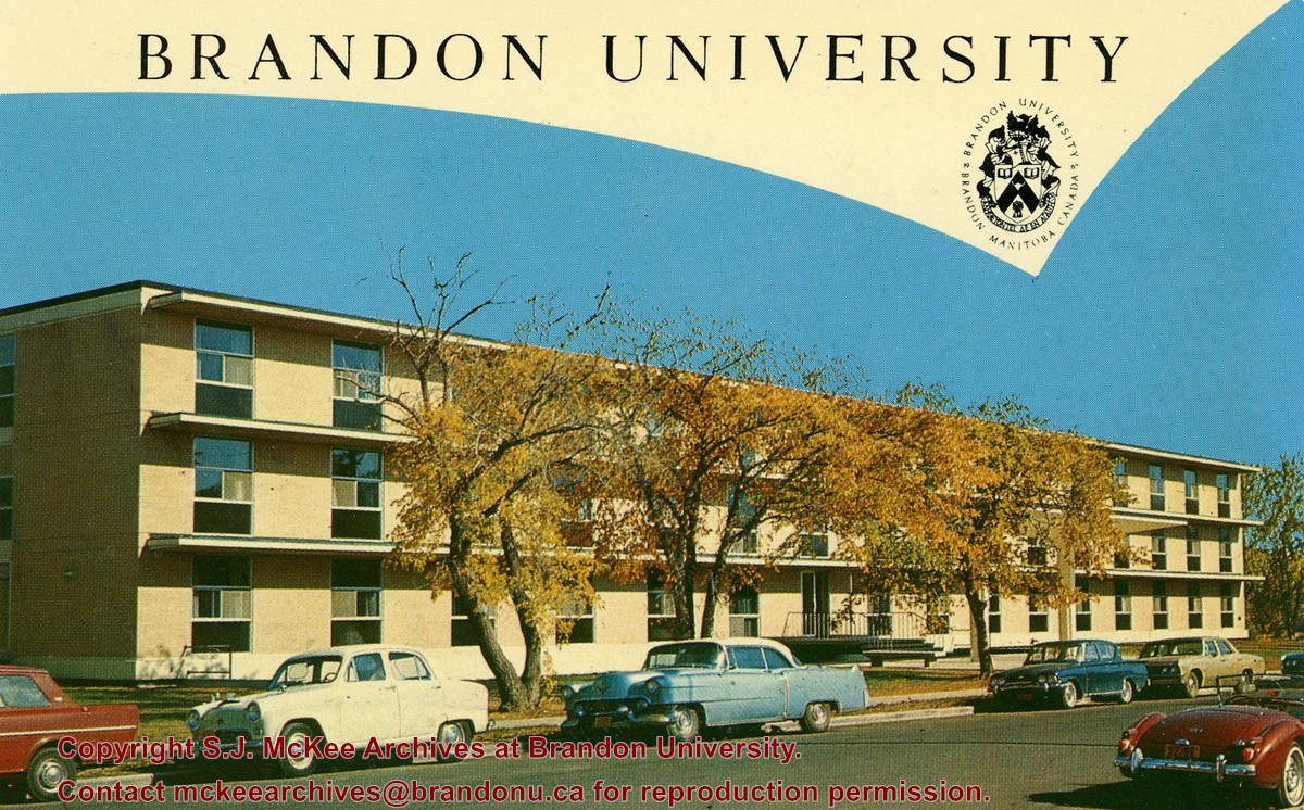
Sub-series consists of photographs of the Brandon College and Brandon University campus.
Series is divided into 13 sub-series, including: (1) Aerials; (2) Brandon College Building & Clark Hall; (3) Citizens' Science Centre & Knowles Douglas Building; (4) Richardson Centre & A.E. McKenzie Building; (5) Healthy Living Centre & Henry Champ Gymnasium; (6) Dining Hall & Residences; (7) Education Building; (8) Original Music Building & the Queen Elizabeth II Music Building; (9) J.R. Brodie Science Centre; (10) Dr. James and Mrs. Lucille Brown Health Studies Complex; (11) Jeff Umphrey Building & Glen P. Sutherland Art Gallery; (12) Physical Plant; (13) H-Huts.
Brandon College looking south from 19th Street. Photograph was taken after Flora Cowan Hall was built but before construction of the Education Building.
Image shows the Brandon College campus from 17th Street looking southwest. The photo was taken after the completion of the original Music Building in 1963, but construction of the Education Building. Also visible are a number of properties on the 200 block of 18th Street and the 200 block of 20th Street.
Image is looking east northeast from approximately the 300 block of 23rd Street between Lorne and Louise Avenues. Photograph shows the Brandon College campus after the opening of the original Music Building in 1963, but before the construction of the Education Building in 1966. A number of house on the 300 blocks of 22nd and 21st Streets are visible in the foreground, with the A.E. McKenzie Seed Co., the Prince Edward Hotel and various grain elevators on the horizon.
View is northeast, taken from the John R. Brodie Science Centre. Photograph shows: the Brandon College Building, the Student Services H-Hut, the Education Building, and the Student Union Building (Citizens' Science Building), as well as 18th Street and some houses. The trailer to the south of the Education Building was a Canada Manpower office in the 1960s. It was latter moved over by the Gymnasium, where it became the Quill office.
View is southwest from the John R. Brodie Science Centre. Photograph shows: Flora Cowan Hall, the Brandon University Gymnasium, Darrach Hall, the Quill trailer and the Jeff Umphrey Centre.
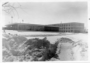
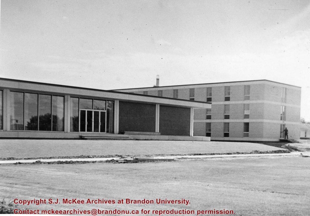
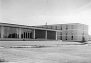
Photograph is looking southwest and shows the Main Dining Room and Darrach Hall. It appears that a sidewalk is being constructed in front of the buildings.
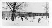
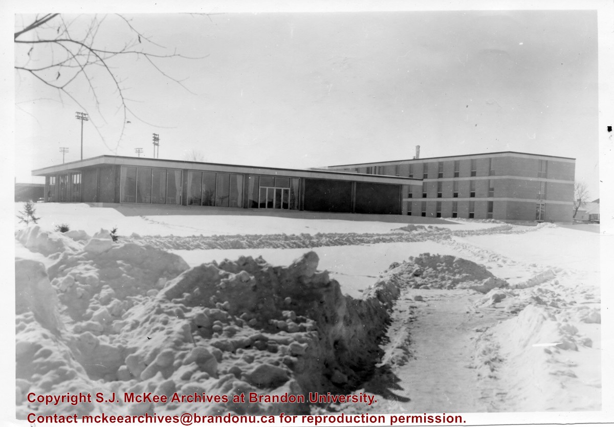
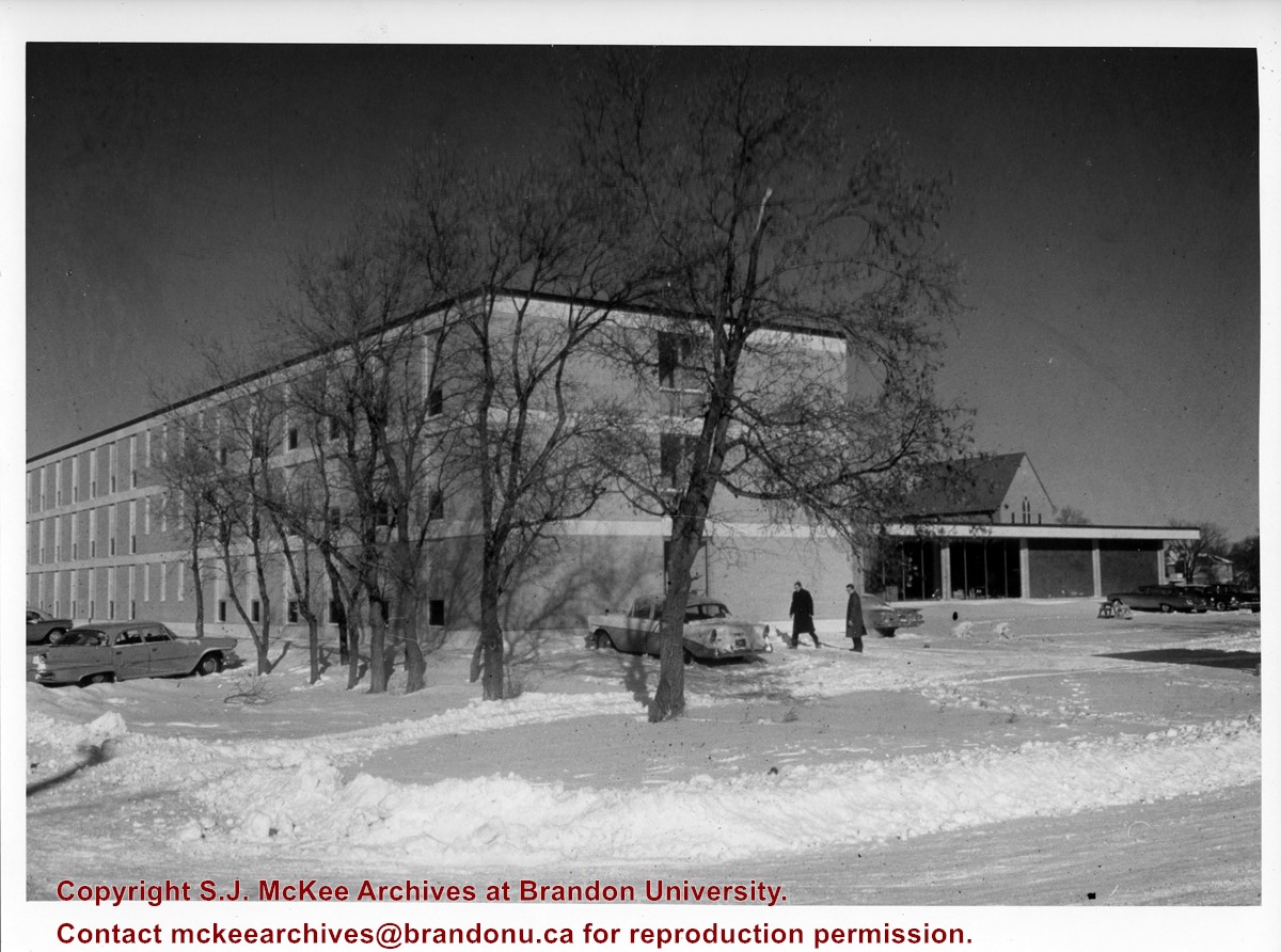
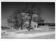
Photograph is looking north northeast and shows Darrach Hall with the Main Dining Room and the Citizens' Science Building in the background during winter. A number of cars are parked along the street and on the campus grounds.
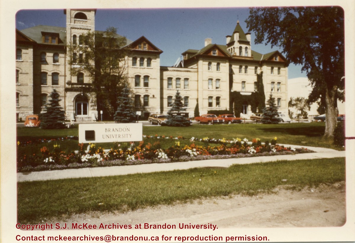
View is west north west from 18th Street. Photograph shows the Brandon College Building, Clark Hall, and the Brandon University sign on the front lawn.
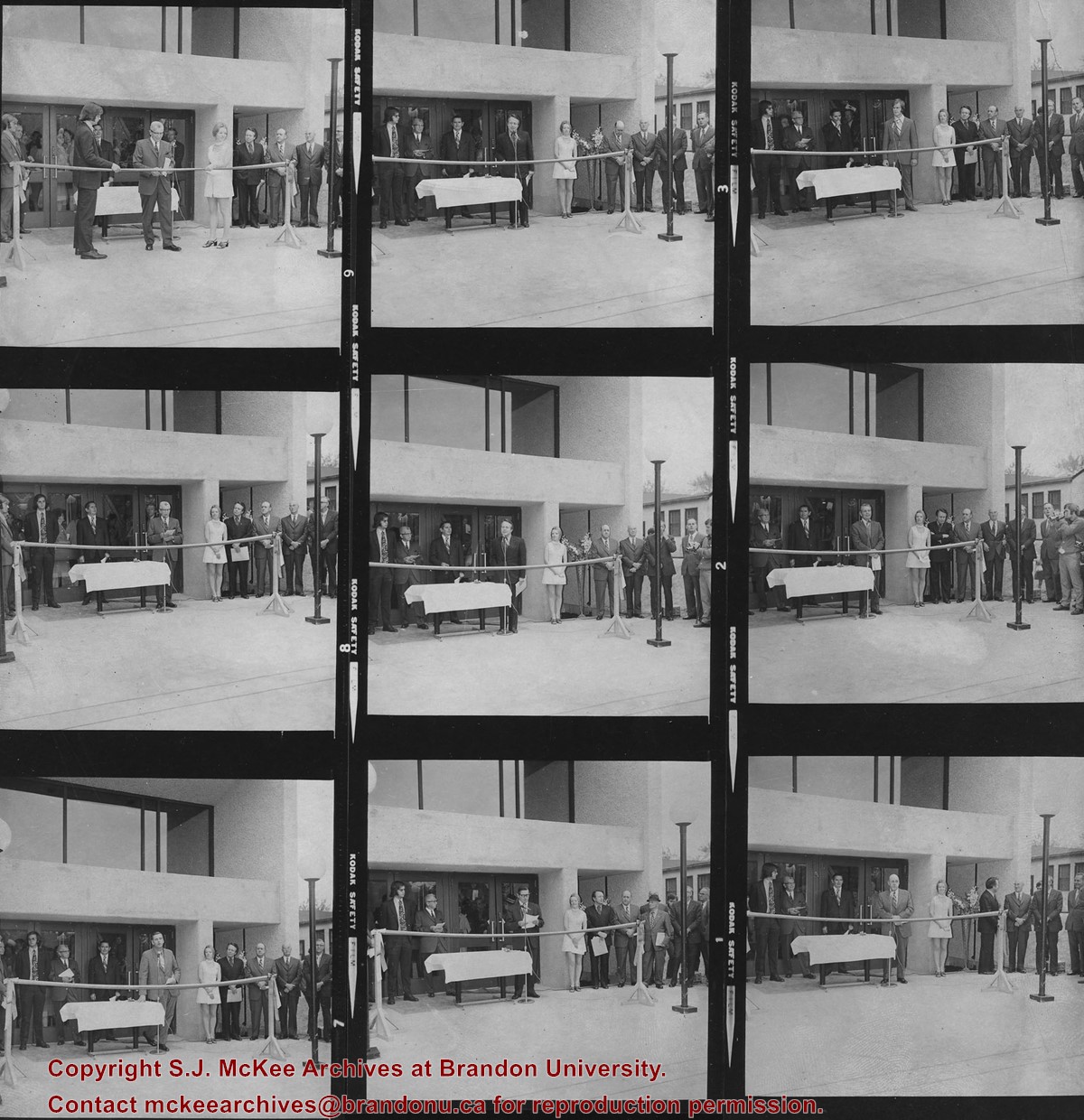
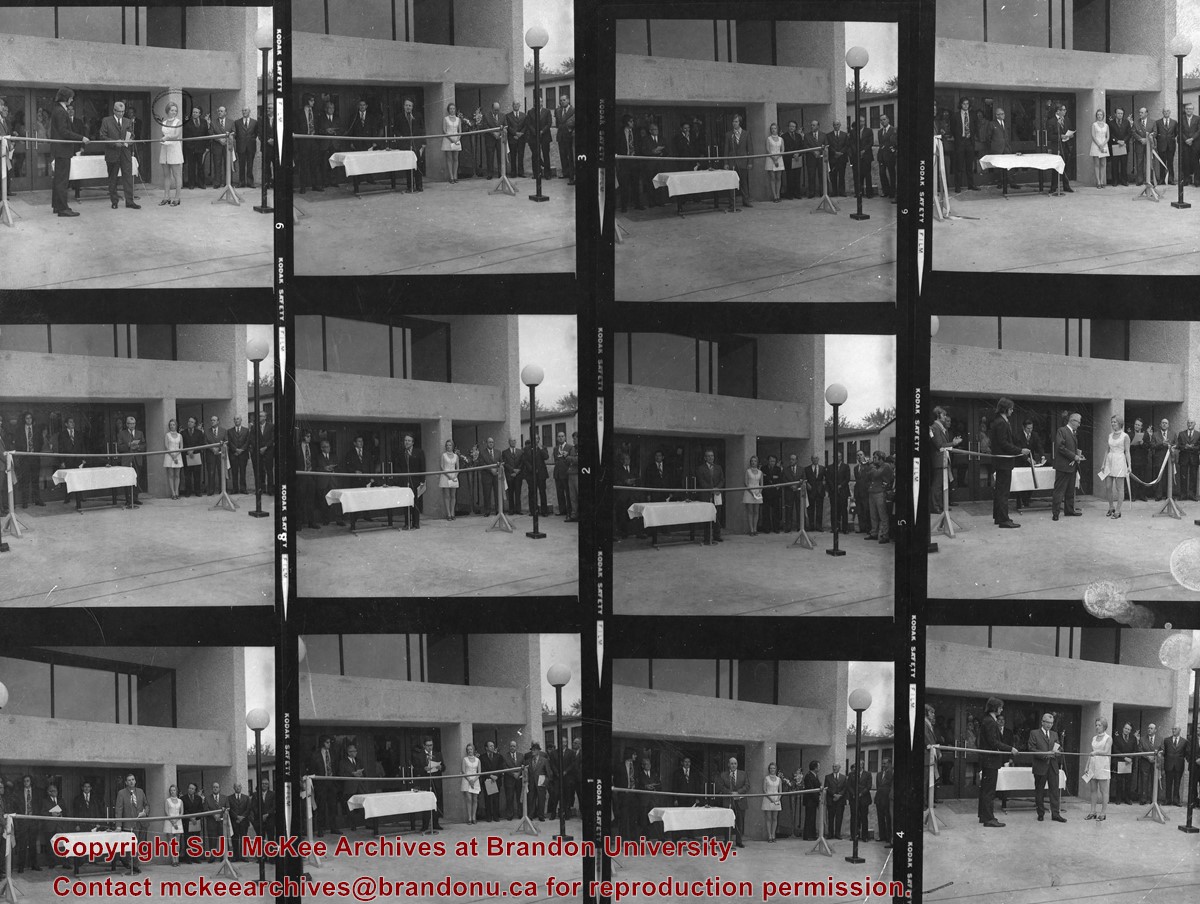
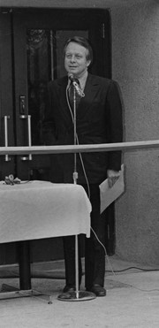
Item consists of nine contact prints. Images were taken at the opening of McMaster Hall, the towers residence. 1. Lyle Dick (at microphone) 2. ? 3. Mayor William (Bill) Wilton (at microphone) 4. Walter Dinsdale (at microphone) 5. Walter Dinsdale 6. Lloyd Dulmage (at microphone) 7. Prof R. Murray Simmons (at microphone) 8. Prof. Murray Simmons.


