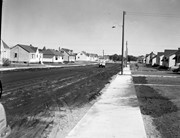
View is west to McDiarmid Drive from approximately 16th Street between Princess and Louise Avenues. Photograph shows: Brandon College, Fleming School, Coronation Park, and West End Community Centre.
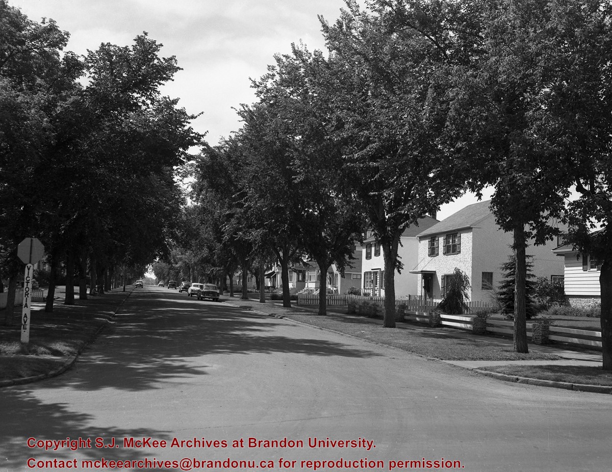
View is east from approximatley 22nd Street between Lorne and Louise Avenues. Photograph shows: Darrach Hall, Flora Cowan Hall and the Citizens' Science Building, as well as a number of homes in the area.
Photograph is looking northwest from approximately the south entrance of the driveway and shows the Citizens' Science Building, the Brandon College Building and part of Clark Hall, as well as the drive way and part of the front lawn.
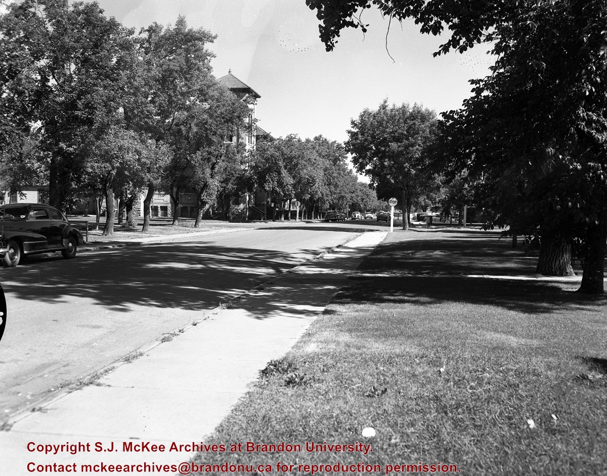
View is northwest from approximately the corner of 18th Street and Louise Avenue. Photograph shows the Brandon College campus after the completion of Flora Cowan Hall.
Notes
BUPC 2.1.20 is a larger version of this photograph.
See fonds level of the CKX records for custodial history.
Scope and Content
Image of the southside of the 1100 block of Rosser Avenue in winter. Visible are O.L. Harwood Ltd., the Key Kafe and Northern Auto Parts. The Perth's building, located in the 1200 block, can be seen on the righthand side in the background. A number of vehicles, a pedestrian and a man shovelling snow are also visible.
See fonds level of the CKX records for custodial history.
Scope and Content
Image of the southside of the 1000 and 1100 block of Rosser Avenue looking east in winter. Visible in the foregraound are O.L. Harwood Ltd., and the Key Kafe. Buildings in the 1000 block include: the Imperial Bank of Canada, the original Post Office and Federal Building and the original Merchants Bank. A number of pedestrians are also visible, as are Christmas decorations on the streetlights and telephone poles.


