This box contains bound volumes of audited financial statements for local MPE associations. The records include the following:
Local Association Financial Statements 1955-56 A-Dro; 1955-56 Duf-Kat; 1955-56 Kel-Oak; 1955-56 Oak-Woo; 1956-57 A-Fan; 1956-57 Fis-Men; 1956-57 Mia-Woo; 1957-58 A-Fan; 1957-58 Fis-Men; 1957-58 Mia-Woo
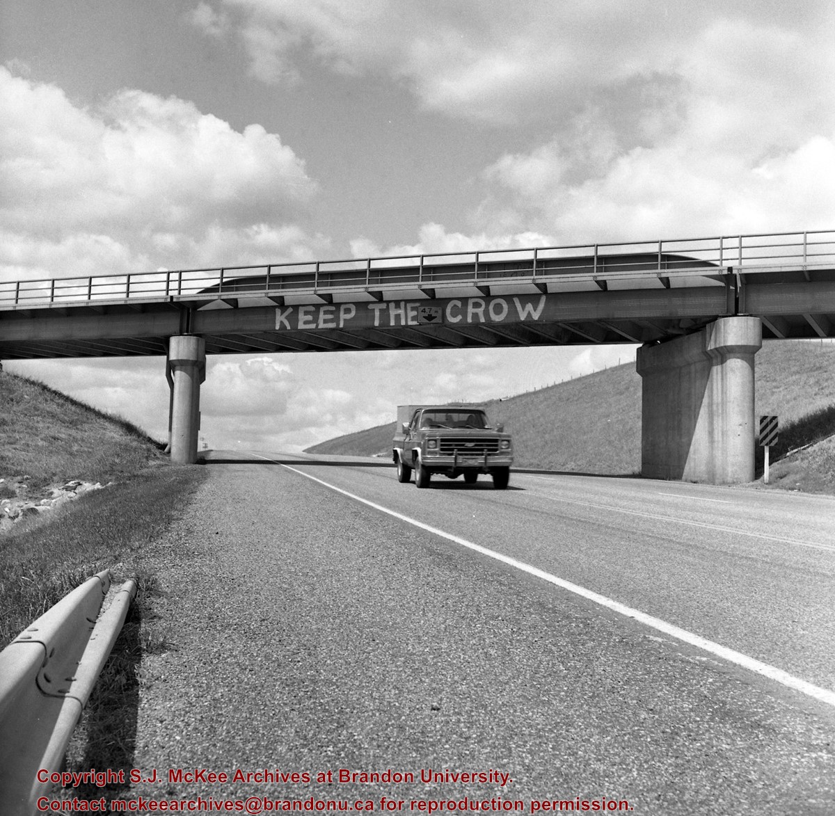
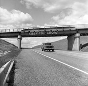
Mr. Stuckey's notes: Similar painting on other side "Refuse the Cruise." Bridge newly painted July or Aug. 83.
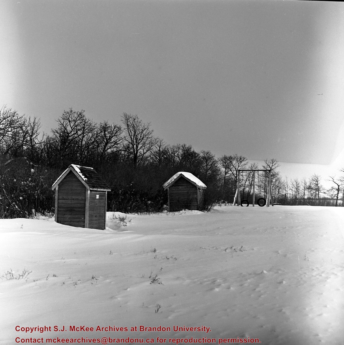
Custodial History
For custodial history see the collection level description of the Lawrence Stuckey collection.
Scope and Content
Image of CP Bridge over Hwy. 10 "KEEP THE CROW", Minnedosa, Manitoba. Image was taken along the CPR Minnedosa & Bredenbury subdivision (ex. Manitoba & N.W. Railway).
Notes
["KEEP THE CROW" appears to have been spray painted on the side of the bridge].
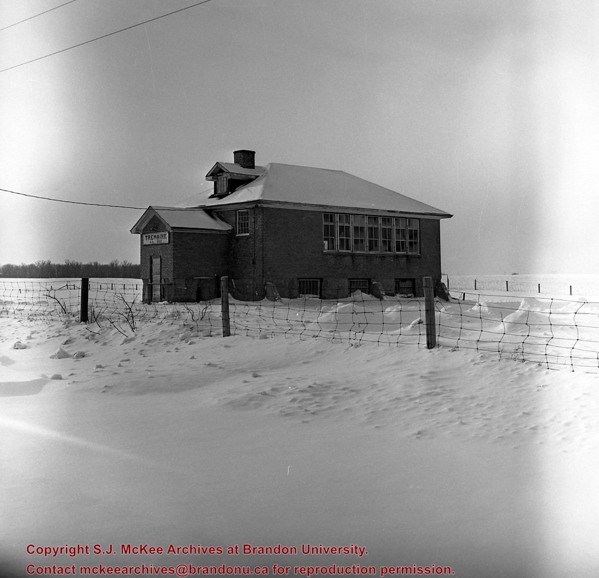
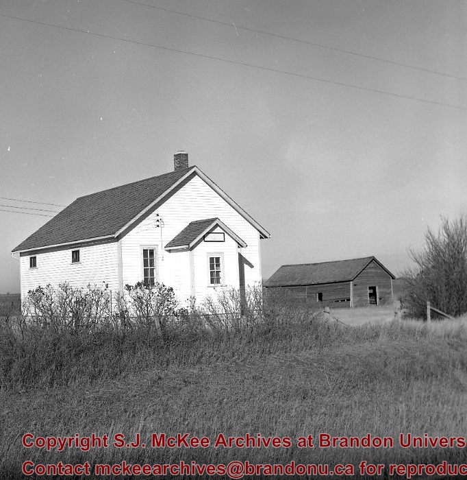
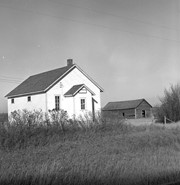
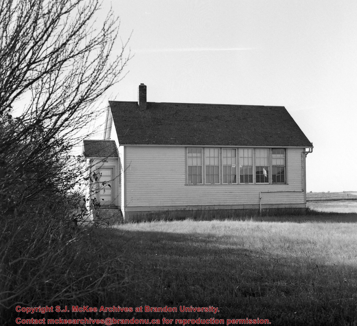
The Blyth Protestant School District #471 was founded in 1886. It became the Blyth School District following the elimination of the denominational school system in Manitoba in 1890. The District was located south of Brandon in the Rural Municipality of Cornwallis. The District existed until the mid-1960s, when it was incorporated into the Rolling River School Division.
Custodial History
This fonds was accessioned by the McKee Archives in 1997. Prior custodial history is unknown.
Scope and Content
Fonds includes the minute books, financial records (1886-1955), attendance registers (1887-1906), and related documents of the Blyth School District, Rural Municipality of Cornwallis. Aside from attendance records, the fonds contains documents relating to issues of teachers salaries, attendance policies, and holidays.
See fonds level of the CKX records for custodial history.
Scope and Content
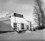
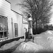
Image consists of an aerial view looking north at the intersection of Highways 1 and 10 and shows the British American dealer located at the intersection.
See fonds level of the CKX records for custodial history.
Scope and Content
Image consists of an aerial view looking southeast at the intersection of Highways 1 and 10 and shows the British American dealer located at the intersection.
See fonds level of the CKX records for custodial history.
Scope and Content
Image consists of an aerial view looking northeast at the intersection of Highways 1 and 10 and shows the British American dealer located at the intersection.
For custodial history see the collection level description of the Lawrence Stuckey collection.
Scope and Content
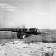
Image of CPR Highway 10 bridge (town in background) and XW 5693-5703-5918-5960-5947-3036, Minnedosa, Manitoba. Image was taken along the CPR Minnedosa & Bredenbury subdivision (ex. Manitoba & N.W. Railway).
For history/bio information see the collection level description of the Lawrence Stuckey collection.
Custodial History
For custodial history see the collection level description of the Lawrence Stuckey collection.
Scope and Content
Series consists of slides created from photographs taken by Lawrence Stuckey during his travels throughout Manitoba, other parts of Canada and the United States. Although Lawrence and his wife Mavis travelled for pleasure, their destinations were often chosen deliberately to enable Lawrence to explore and photograph specific landscapes, flora and fauna.


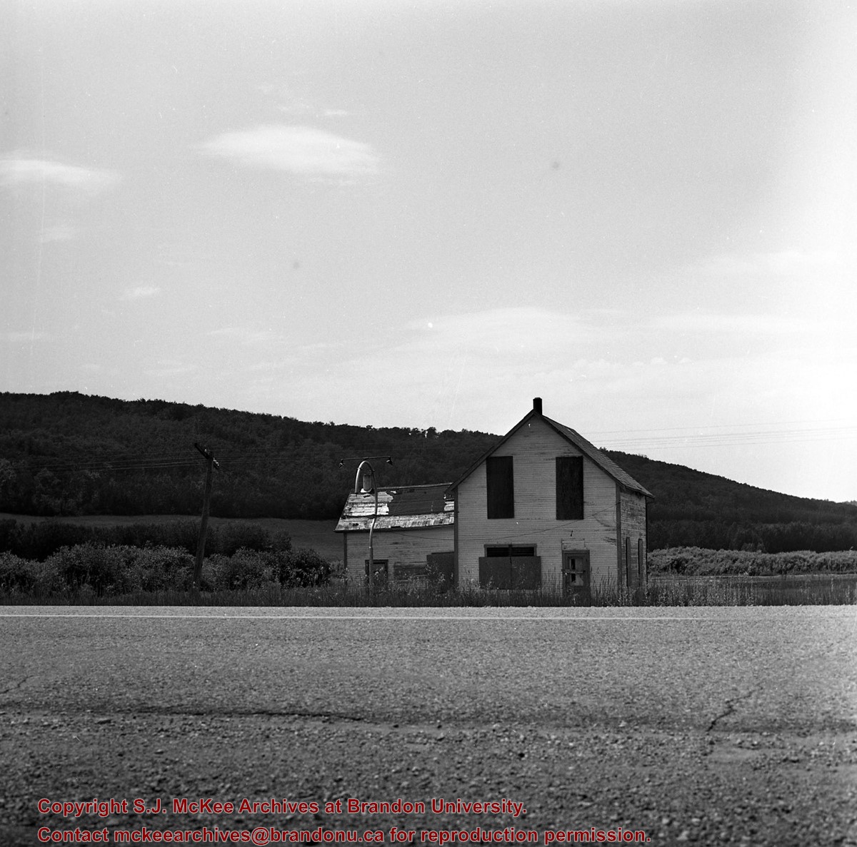
+and+yard%2c+near+Rapid+City+Junction%2c+PTH+10.)
+and+yard%2c+near+Rapid+City+Junction%2c+PTH+10.)
+and+XW+5693-5703-5918-5960-5947-3036%2c+Minnedosa%2c+Manitoba.)