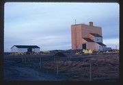
Operated as Pool A, this wooden grain elevator was built by Manitoba Pool Elevators between 1983 and 1984. It was closed by 2007 and demolished by 2008.
Custodial History
Slide was in the possession of John Everitt before its donation to the SJ McKee Archives in 2007.
Scope and Content
Item is an image of the new Manitoba Pool Elevator at Brandon, MB, under construction. The elevator was located at highways #1 and #10.
The SJ McKee Archives is the copyright holder for the John Everitt collection and as such is providing access to the John Everitt slide collection for educational and research purposes only. To publish, copy or otherwise use these images, written permission must be obtained from the SJ McKee Archives. Any issues arising from the use of an item is the responsibility of the persons desiring to use the item, as is the securing of any necessary permissions for use.
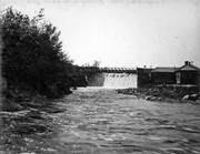
Stuckey's notes: This is closest point on CN Rossburn Subdivision to CP Minnedosa Subdivision. Bill McGuire and I figured they are about 3 miles apart here. The long range plan is for a cutoff joining the two near this point. Track from here to Rossburn Junction is not being improved.
Custodial History
For custodial history see the collection level description of the Lawrence Stuckey collection.
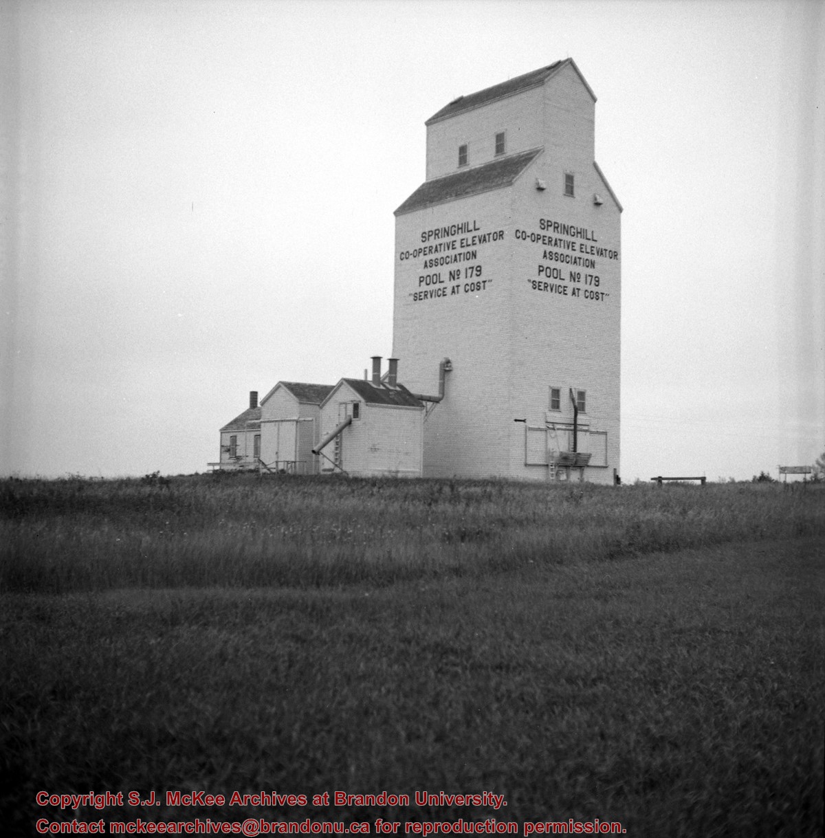
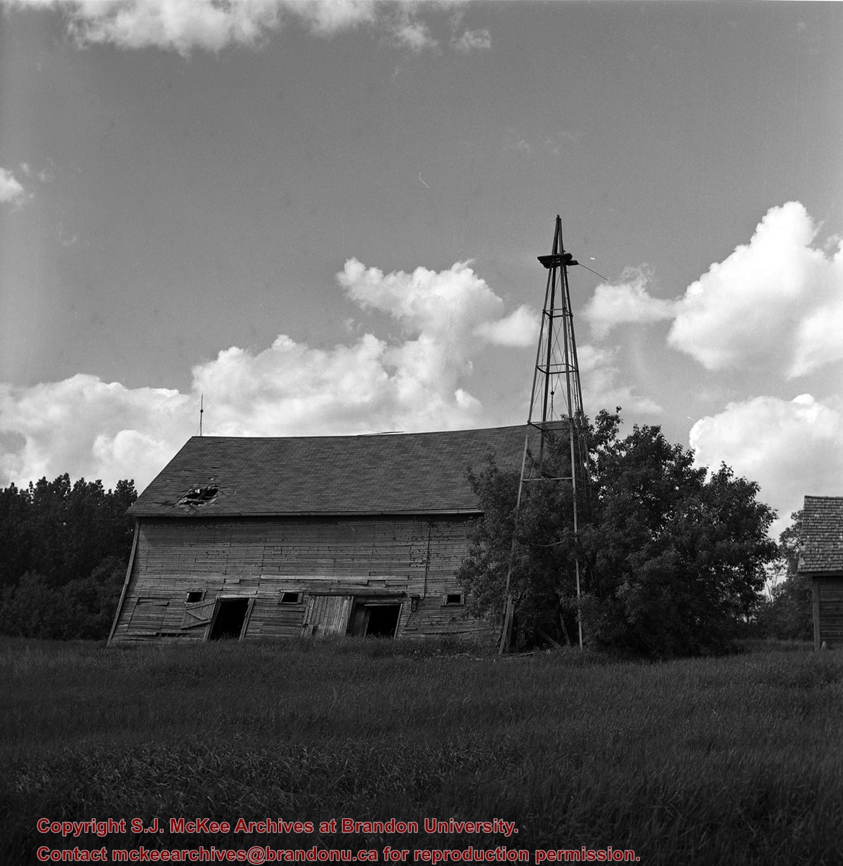
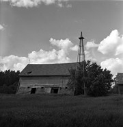
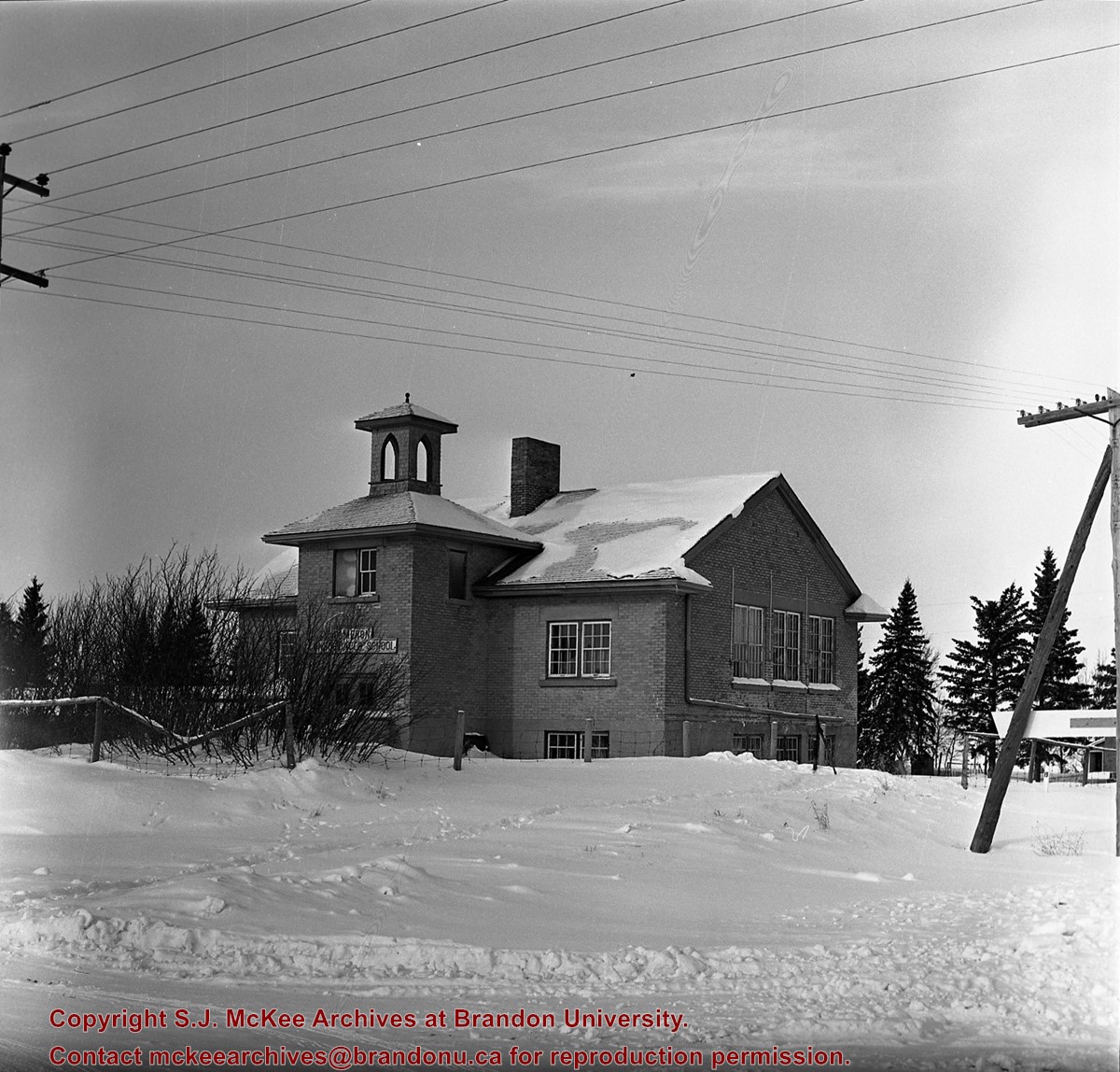
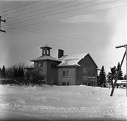
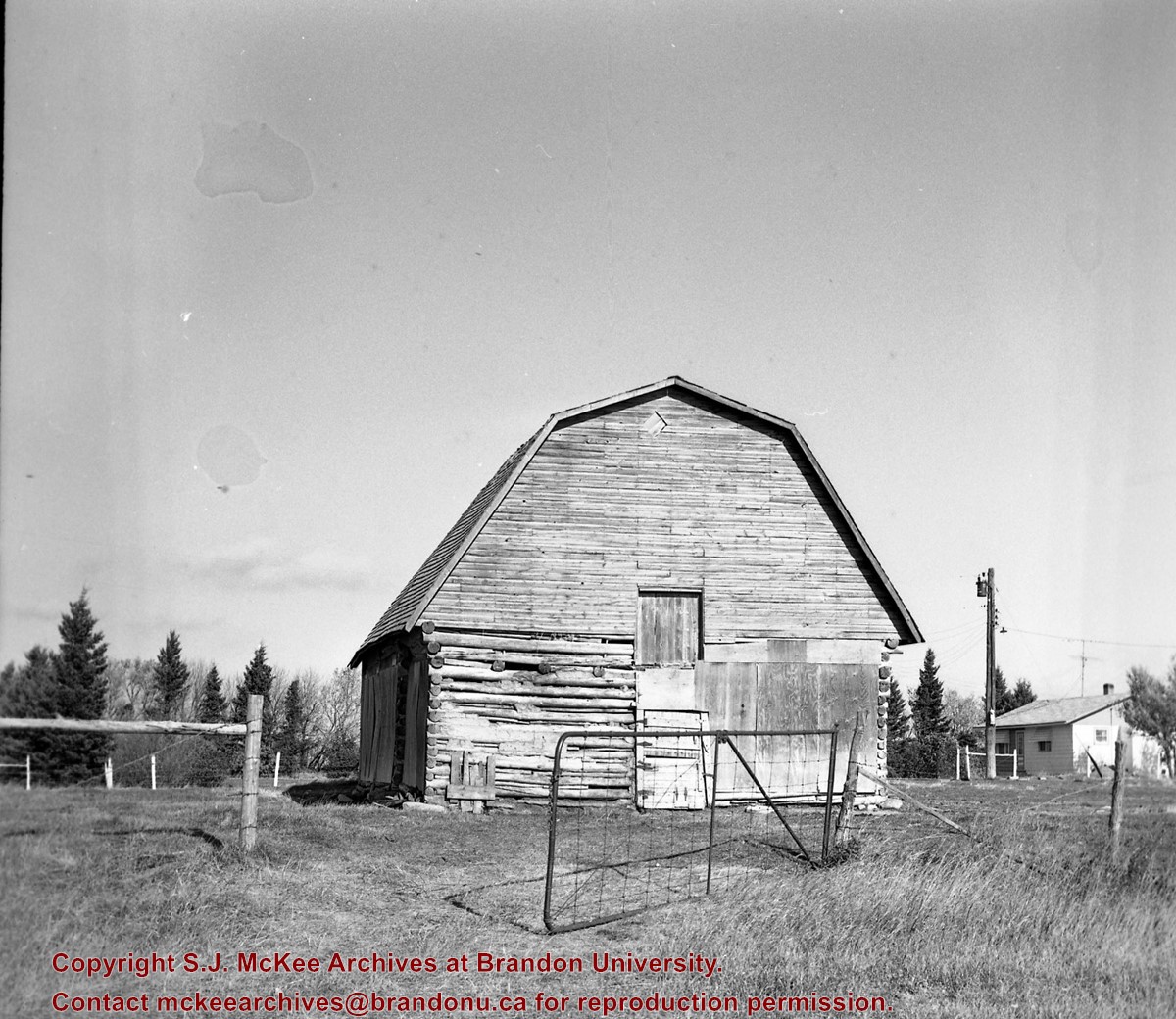
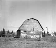
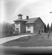
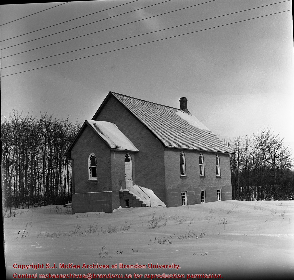
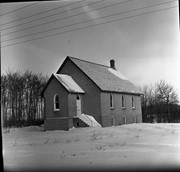
Scope and Content
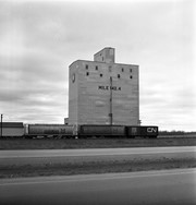
Image of the Pool elevator (closed), mile 5 Rossburn subdivision, Springhill, Manitoba, taken along the CNR line, Rossburn subdivision.
The Medicine Hat Exhibition and Stampede Parade Day was held on Thursday, July 19, 1962, at 9:30 a.m. The local newspaper reported that approximately 24,000 people were in attendance to see parade marshall Rod Ashburner leading 175 entries consisting of 90 floats, 75 horses, and 10 bands. There were 19 parade categories eligible for $12,000 in prize money and included: junior and senior cowboys and cowgirls; fancy and Shetland ponies; sulky class open; comic, commercial, industrial and organizational floats; decorated cars; special ranch class; 4-H Clubs; and a non-competitive class.
The parade route started at Second St. and Allowance Ave., from Second St. to Ash Ave., north on Ash to First St. SE., from First St. S.E. to Fourth Ave., south to Second St. to South Railway St., south on South Railway St. to Third St., with a finish at McLeod Trail. A route map was published in the Medicine Hat News the day before the parade.
Aerial photographs of the parade were taken by Medicine Hat News photographer Howard Heid (1930-2005) from the private helicopter of John Bourn. Bourn was a pilot from Woodville, Wisconsin, who chartered his four-seater helicopter for sight-seers at exhibitions and stampedes across the county.
(Sources: Pat Currie, "Let 'Er Go!," Medicine Hat News, 19 July 1962,1; Harald Gunderson, "'Eye in the Sky' Best Parade View," Medicine Hat News, 19 July 1962,1; "Parade Starts at 9:30 Sharp," 18 July 1962)
Scope and Content
Photograph shows an aerial view of the Medicine Hat Exhibition and Stampede Parade route with a focus west of the railway allowance, showing First Street SE, Second Street SE, and Third Street SE.
Notes
This photograph shows the neighbourhood before rezoning and commercial development.


%0a)
%0a)
%0a)
+mile+5+Rossburn+subdivision%2c+Springhill%2c+Manitoba)
)
)