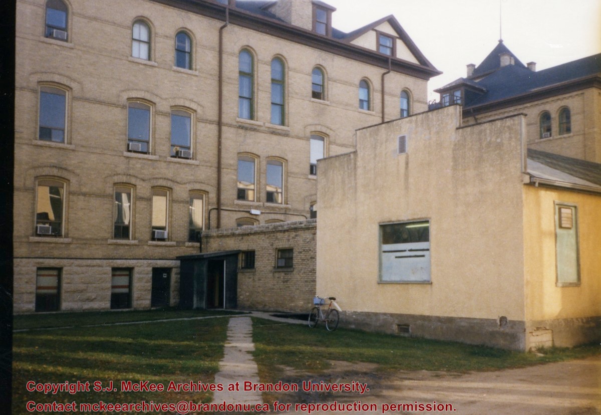
View is east southeast from the road between Clark Hall and the A.E. McKenzie Building. Photograph shows the west side of Clark Hall and the old Physical Plant H-Hut that was connected to Clark Hall.
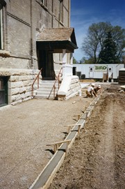
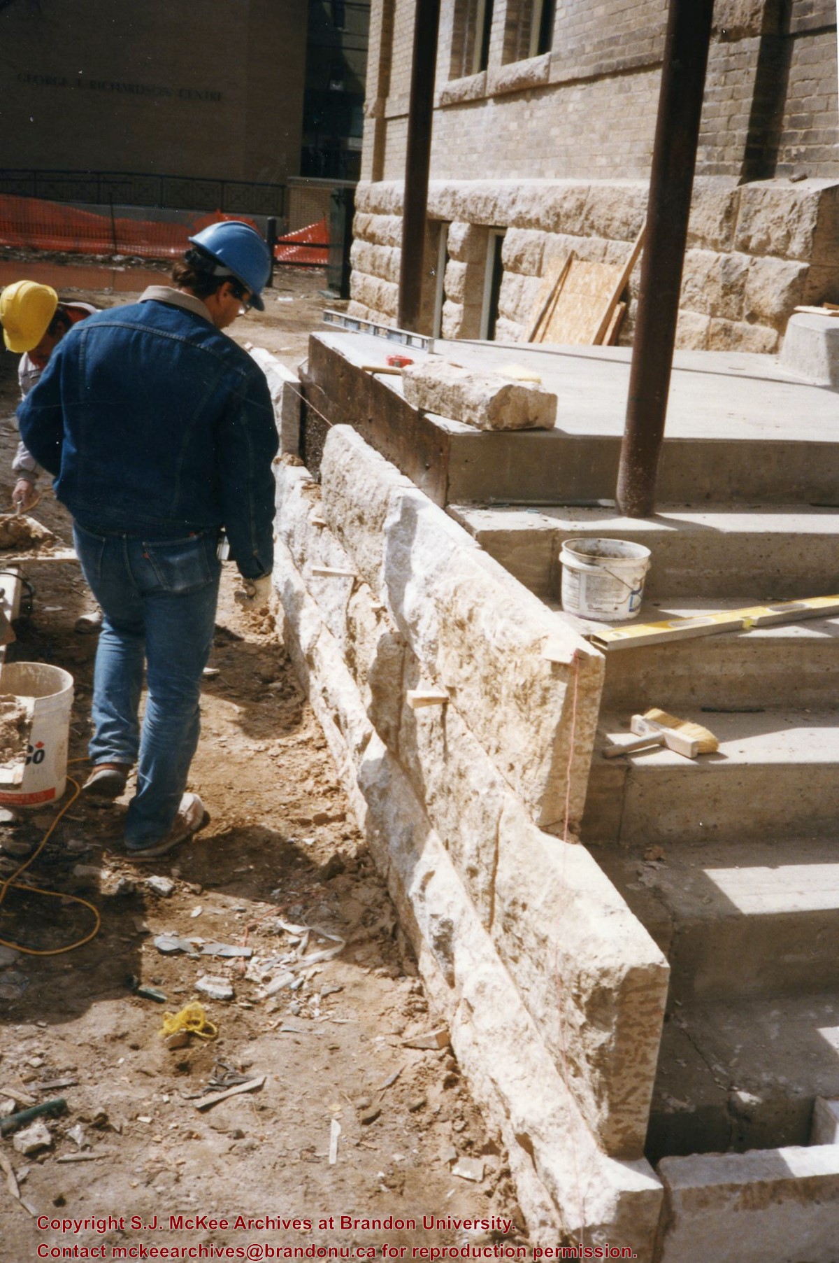
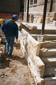
Photograph is looking east and shows the preparation work for the sidewalk leading up to the steps and portico at the west entrance of the Brandon College Building.
Photograph is looking west from the sidewalk between Clark Hall and the Education Building and shows the east side of the A.E. McKenzie Building as well as a trailer that housed the Canada Manpower office (career councelling) in the 1960s. The trailer was later moved near the Kinsmen Stadium where it housed the Quill office.
View is west to McDiarmid Drive from approximately 16th Street between Princess and Louise Avenues. Photograph shows: Brandon College, Fleming School, Coronation Park, and West End Community Centre.
View is east southeast from approximately 22nd Street between Princess and Louise Avenues. Photograph shows: Brandon College, Stanley Park, Park School, Prince Edward Hotel, First Baptist Church, First Presbyterian Church, Wheat City Arena, First Church United, St. Paul's, Central United Church.
View is east from approximatley 22nd Street between Lorne and Louise Avenues. Photograph shows: Darrach Hall, Flora Cowan Hall and the Citizens' Science Building, as well as a number of homes in the area.


