Photographs have been glued to a backing board that has warped over time
Scope and Content
Photograph shows street view of north side of Rosser Avenue, primarily the 700 block, along which sewer pipe is being laid. Visible buildings and businesses include: The Fleming Block with Lowes Brothers Clothing and Manitoba Farmers Hedge and Wire Fence Company, the Beaubier Block and its Empire Hotel, A.M. Percival (a grocer), the Brandon Hardware Company (600 block), and the Arlington Hotel (500 block) are visible along the north side of the avenue. The Bank of Hamilton Building is on the southeast corner of 8th Street and Rosser Avenue.
Notes
Writing on the front of the photograph matting reads: 290. Page appears to be from a photo album.
See fonds level of the CKX records for custodial history.
Scope and Content
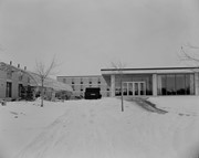
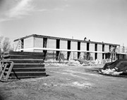
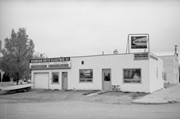
Image is looking southwest across Brandon College campus. Visible are Clark Hall, the Brandon College Building, the Citizens' Science Building and the A.E. McKenzie Building.
See fonds level of the CKX records for custodial history.
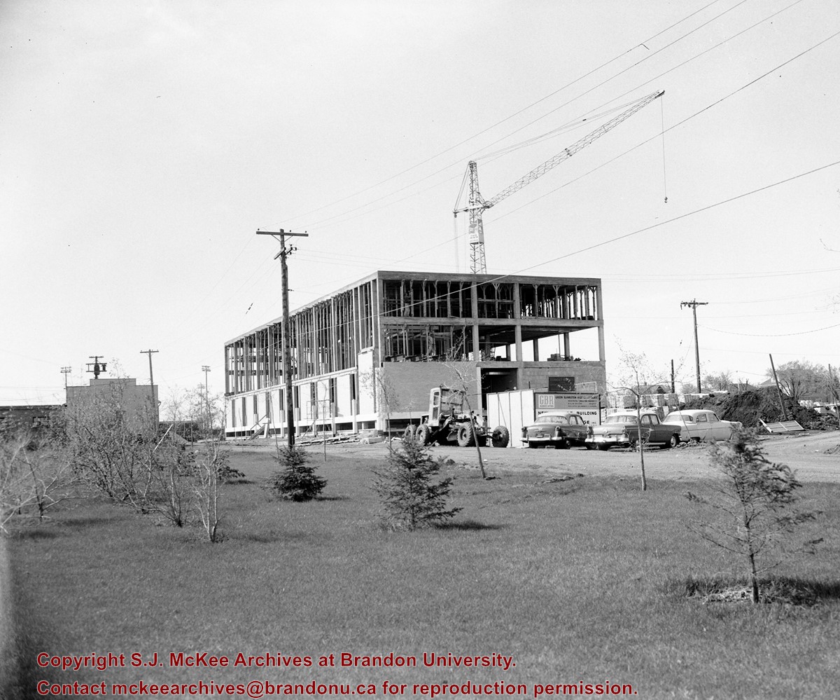
Scope and Content
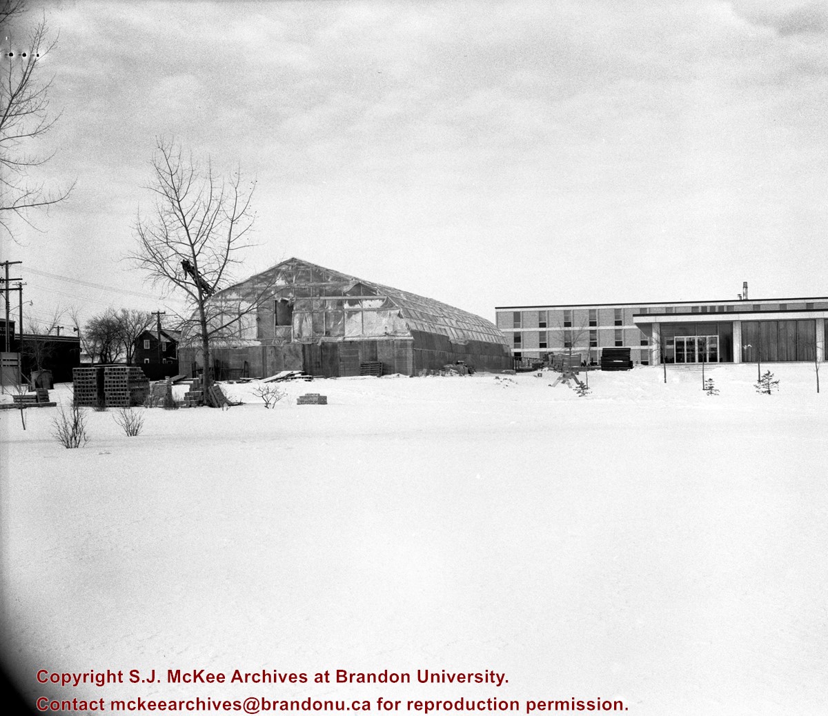
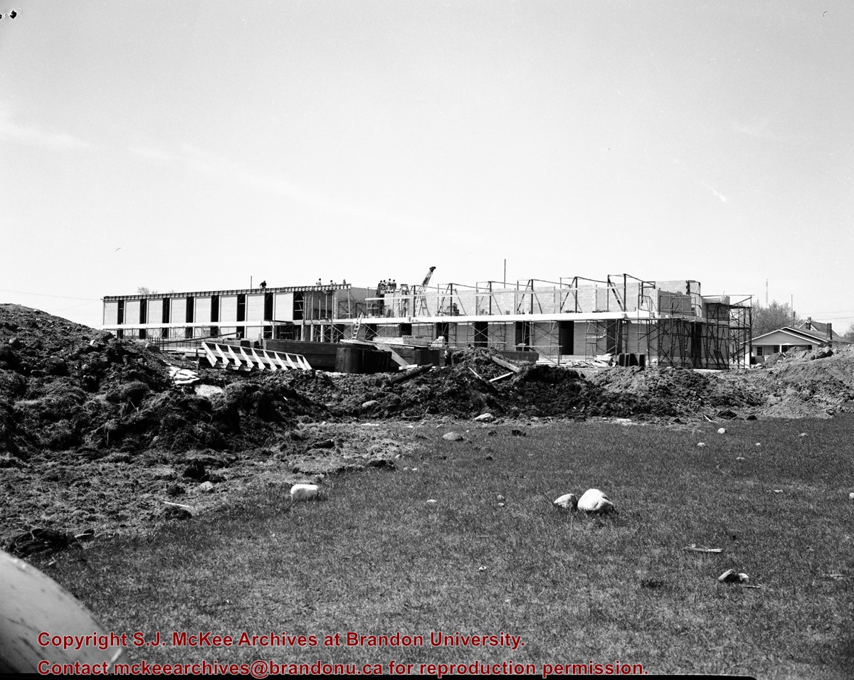
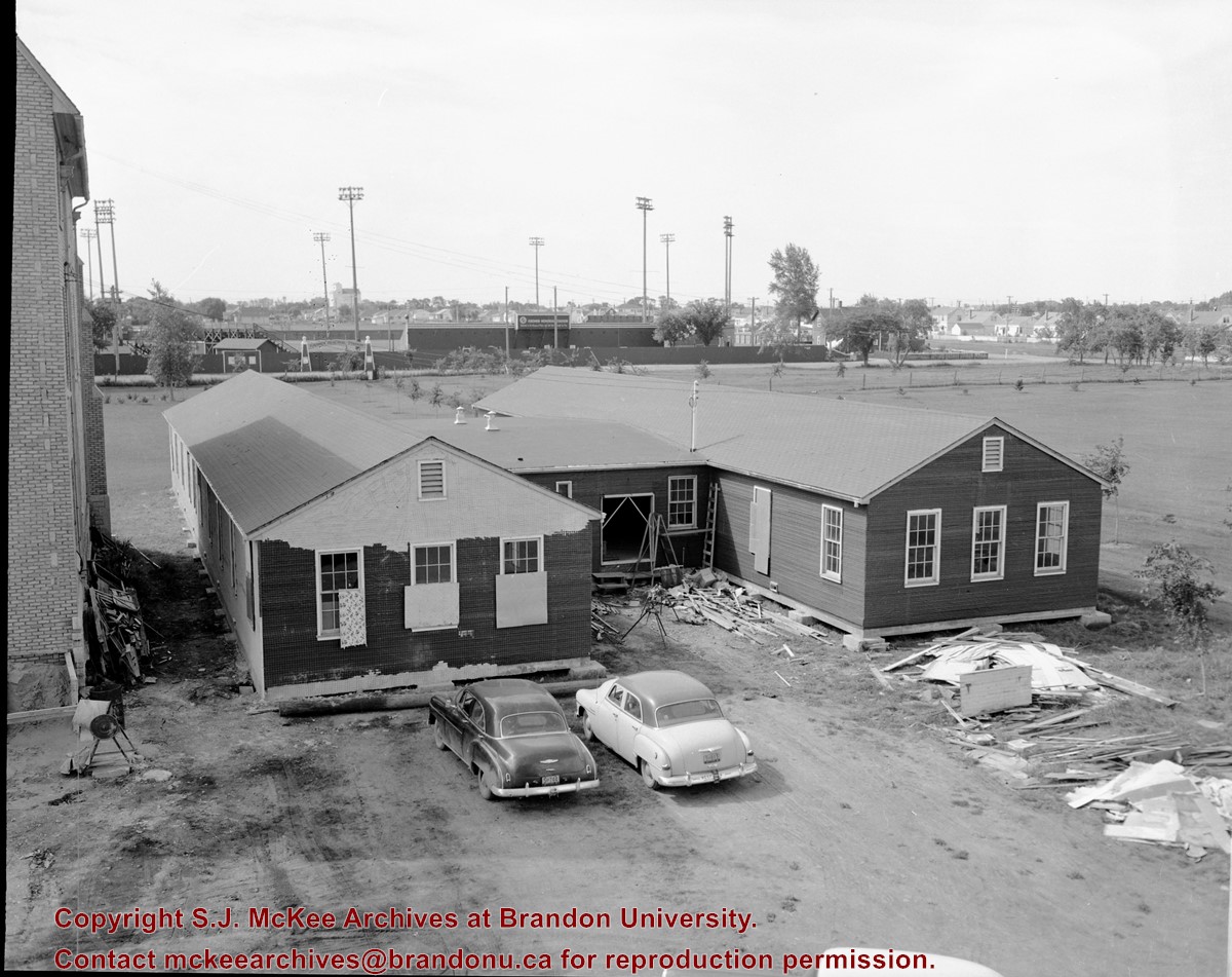
Image is looking northwest across Brandon College campus. Visible are the H-Huts and the Citizen's Science Building. Behind the Citizen's Science Building are the Brandon College Building and Clark Hall.
See fonds level of the CKX records for custodial history.
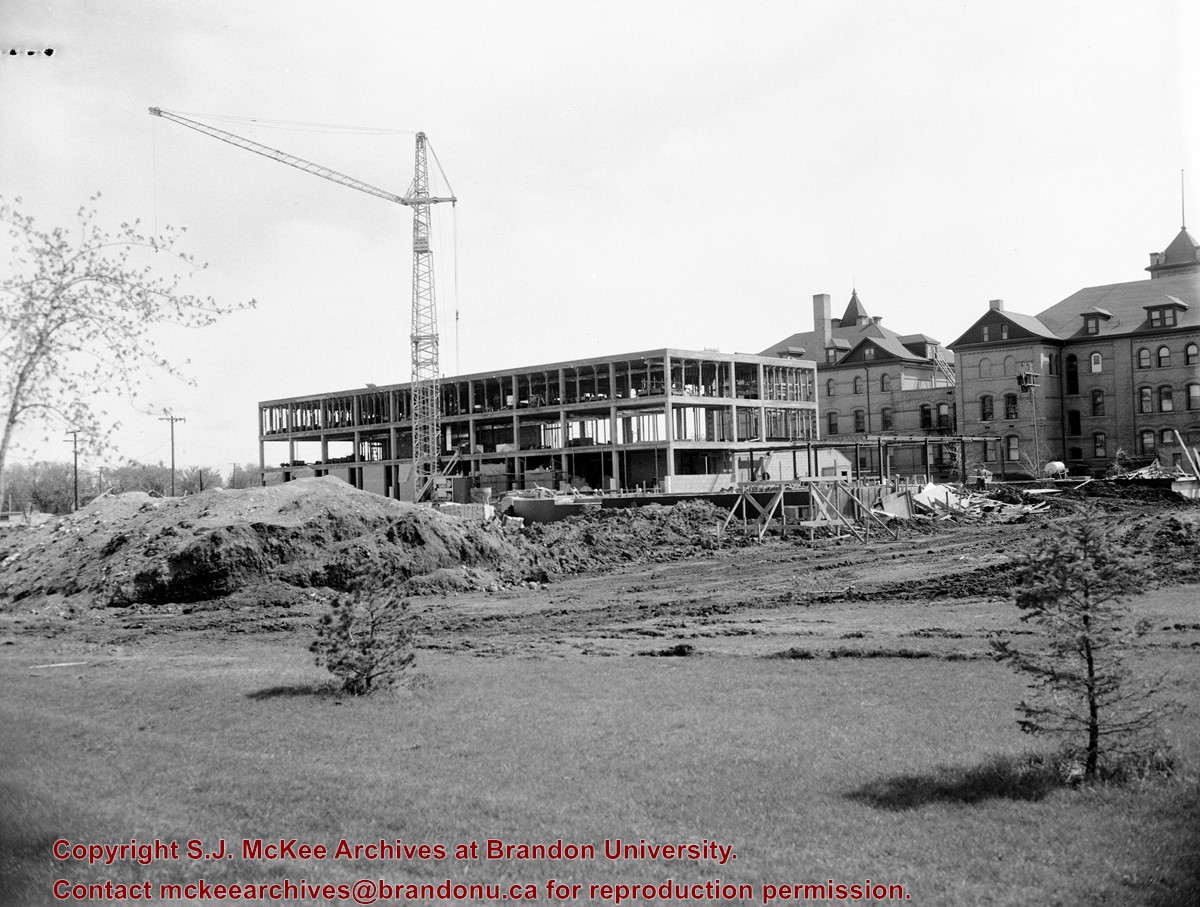
Scope and Content
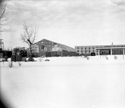
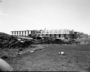
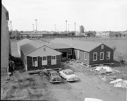
Image is looking south southwest across Brandon College campus. Visible are Clark Hall, the Brandon College Building and the Citizens' Science Building.


