Photograph shows Western Motors Ltd. on the southwest corner of 10th Street and Princess Avenue. Anglo gas station is part of the car shop, which sells GM, Chevrolet, and Oldsmobiles.
Hutchings' Drugs is on the ground floor of the Hughes Building on the northwest corner of 10th Street and Princess. Manufacturers Life occupies the second storey.
Photograph shows the northeast corner of 10th Street and Princess Avenue. OK Used Cars - Western Motors Ltds - used car lot and a building containing The Specialty Shop and another business are pictured. The exposed wall of the Brown Block has been painted over.
Photograph shows Western Motors Ltd. on the southwest corner of 10th Street and Princess Avenue. To the west of the car dealership/garage is the Greyhound Bus Station and its Maxwell House Cafe as well as the court house.
According to Russ Gourluck (Silver Screens on the Prairie, Winnipeg: Great Plains Publications, 2012, 26), the Orpheum Theatre was in operation from 1917 to 1920 when it then became the Willis Theatre.
Scope and Content
Postcard shows the 100 block of 10th Street facing north. The CPR train station can be seen at the end of 10th Street. The sign for the Rex Cafe is visible on the west side of 10th Street. On the east side of 10th Street, billboards for Campbell & Campbell furniture are visible as well as signs for Pianos and the Orpheum Theatre. Motorists and cyclists share the road. Street car tracks run the length of 10th Street.
Notes
Postcard was manufactured by T.B. [Tichnor Brothers, Inc., 1908-1987] Cambridge, Massachusetts.
Postcard shows a street scene of Donald Street looking south from the Portage Avenue Intersection.
Notes
Writing on the back of the postcard reads: Aug 9, Dear ruth, Aunt Eva, Aunt Annie and Fred were over to the bowlnig greens tonight. Every one fine. Doddy. Postcard is addressed to Ruth McGuinness, 337-17th St., Brandon, Man. Postmarked: Winnipeg 12 PM Aug 10 1927 Man.
Photograph shows the construction of the McGuinness home in a new housing development in Medicine Hat, 492 6th Street Northeast. Aerial view shows that neighbouring blocks have yet to be constructed.
Photograph shows the McGuinness home in a new housing development in Medicine Hat, 492 6th Street Northeast. Aerial view shows that neighbouring blocks have yet to be constructed and the backyard to the McGuinness home is completed.
Photograph shows the west side of 10th Street between Rosser and Princess Avenues in the winter. Visible businesses include: Bottomley's, Simpsons-Sears, Lionel Electric, Allied Hardware Stores, Box Brothers Hardware, Doig's. Painted on the north face of the Strathcona Block are two advertisements, one for Sutherland and Robertson [Grocery] and the other for Boyd Electric Co. Ltd.
The Royal Bank moved to this location on 26 October 1929. An existing building was renovated to accomodate the bank. On 28 May 1976 fire destroyed the buildings from the lane west to the Royal Bank.
Scope and Content
Photograph shows the south side of Rosser Avenue between 7th and 8th Streets, west of the Eaton's building. Visible shops include: Vogue [Ladies Wear], Smith's Drugs, Sobie's Tailored Undergarnments, Household Finance Loans, and The Royal Bank of Canada.
See fonds level of the CKX records for custodial history.
Scope and Content
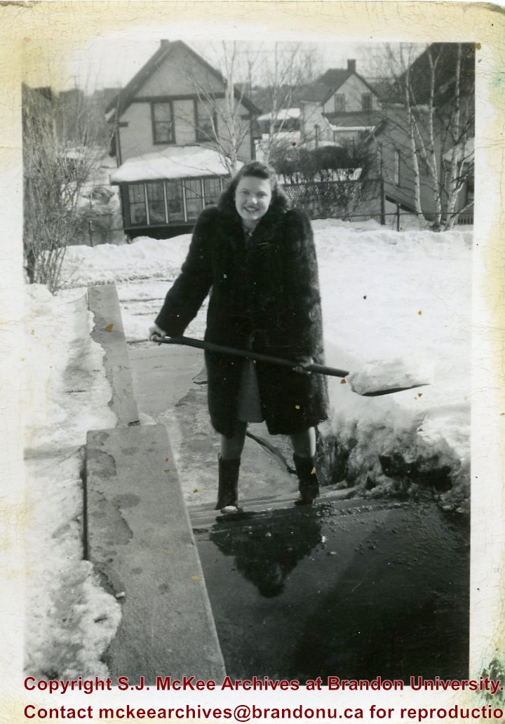
Image of the southside of the 1100 block of Rosser Avenue in winter. Visible are O.L. Harwood Ltd., the Key Kafe and Northern Auto Parts. The Perth's building, located in the 1200 block, can be seen on the righthand side in the background. A number of vehicles, a pedestrian and a man shovelling snow are also visible.
Photograph shows the exterior of the Winter Fair Arena on 10th Street.
Notes
Part of "Souvenir of Brandon, Manitoba, Canada [viewbook], Printed by Photogelatine Engraving Co. Limited, Ottawa." Dates obtained from the Burchill's Music Store Henderson's Brandon City Directory listings (1927-1929). Writing on the front of the photograph reads: Winter Fair Arena, Brandon, Man.
See fonds level of the CKX records for custodial history.
Scope and Content
Image of the southside of the 1000 and 1100 block of Rosser Avenue looking east in winter. Visible in the foregraound are O.L. Harwood Ltd., and the Key Kafe. Buildings in the 1000 block include: the Imperial Bank of Canada, the original Post Office and Federal Building and the original Merchants Bank. A number of pedestrians are also visible, as are Christmas decorations on the streetlights and telephone poles.
Photograph shows the west side of the 200-block on 10th Street. Visible businesses include: Chamber of Commerce Tourist Information, Dominion Tire & Radio Co., Bonnie's Bonnet Shop, Steve's Grill, Wally's Taxi, and Western Motors Ltd. The painted advertisement for Doig, Rankin and Robertson is visible on the Alexandra Block. Christmas ornaments are displayed from light standards and include Santa Claus and a Christmas elf.
Photograph shows the west side of the 200-block on 10th Street. Visible businesses include: Chamber of Commerce Tourist Information, Dominion Tire & Radio Co., Steve's Grill, Wally's Taxi, and the garage entrances to Western Motors Ltd. A Santa Claus Christmas ornament is displayed from a light standard.
Photograph shows the Brandon Wheat Market along Pacific Avenue on November 30, 1885. Farmers can be seen driving wagon teams loaded with bags of grain in line on Pacific Avenue from 10 Street to at least 7th Street. On the north side of Pacific Avenue the CPR Land Office and grain elevators are pictured. On the south side of Pacific Avenue, the general merchant/hardware store Bower, Blackburn, Mundell & Porter is situated on the corner of Pacific Avenue and 10th Street. A 10th Street sign is affixed to the merchants' store. On the east side of the general store, Edie House, the Grand View Hotel, and a Farmers' boarding and lodging house can be seen. Most of the buildings appear to be woodframed except for the Grand View, which is constructed of brick. Sidewalks appear to be in place on the south side of Pacific and snow dusts the streets. A baby swathed in winter clothing sits in a pram/baby carriage in front of the general store.
Notes
Writing on the front of the photograph reads: Novemeber 30th, 1885, Brandon Wheat Market
Photograph shows the 700-block of Rosser Avenue facing west. Visible businesses on the north side of Rosser Avenue include: Burchill's Music Store, E.W. Woolworth Co. Ltd. 5-10 and 15 Cent Store in the E.E. Evans Block, Empire Hotel, and W.A. Paterson Drugs. Automobiles are parked on both sides of the avenue and at the time the photograph was taken, Rosser Avenue was a two-way street.
Notes
Part of "Souvenir of Brandon, Manitoba, Canada [viewbook], Printed by Photogelatine Engraving Co. Limited, Ottawa." Dates obtained from the Burchill's Music Store Henderson's Brandon City Directory listings (1927-1929). Writing on the front of the photograph reads: Rosser St. [sic.] - Brandon, Man.
Photograph shows a street view of 10th Street facing north. There are many automobiles parked along the street and several pedestrians in summer dress are on the sidewalks and street. Visible business signs include: Hentzman & Co. Pianos (possibly belonging to J.J.H. McLean Co. Ltd.), the Strand Theatre, T & D Clothes, Campbell & Campbell, the CPR Station, and Bowling Alley and Billiards.
Notes
Part of "Souvenir of Brandon, Manitoba, Canada [viewbook], Printed by Photogelatine Engraving Co. Limited, Ottawa." Dates obtained from the Burchill's Music Store Henderson's Brandon City Directory listings (1927-1929). Writing on the front of the photograph reads: 10th St., looking north (C.P.R. Station at end of Street) Brandon, Man.


)
)