The Student Services H-Hut was located between the Brandon College Building and the Citzens' Science Building. It was placed there c. 1950 and it was removed sometime in the 1990s. Originally the H-Hut in this photograph was the Geology Depatment, housing offices, classrooms and the lab.
Scope and Content
Photograph is looking west and shows the entrance to the Student Services H-Hut.
Notes
History/Bio information from Tom Mitchell and Harvey Young.
Image is looking east northeast from approximately the 300 block of 23rd Street between Lorne and Louise Avenues. Photograph shows the Brandon College campus after the opening of the original Music Building in 1963, but before the construction of the Education Building in 1966. A number of house on the 300 blocks of 22nd and 21st Streets are visible in the foreground, with the A.E. McKenzie Seed Co., the Prince Edward Hotel and various grain elevators on the horizon.
See fonds level of the CKX records for custodial history.
Scope and Content
Image consists of an aerial view looking southeast at the intersection of Highways 1 and 10 and shows the British American dealer located at the intersection.
See fonds level of the CKX records for custodial history.
Scope and Content
Image consists of an aerial view looking northeast at the intersection of Highways 1 and 10 and shows the British American dealer located at the intersection.
See fonds level of the CKX records for custodial history.
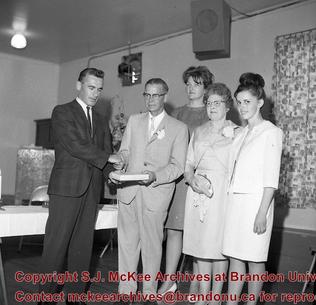
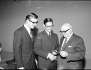
Scope and Content
Image of a presentation to the Central Auditorium from representatives of the Brandon College Students' Association presentation to Mayor Stephen Magnacca.


