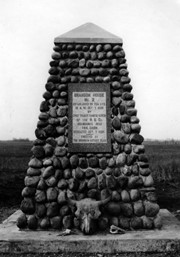
Photograph shows the cairn and the plaque on it. There is a skull at the base of the cairn. Plaque reads: Brandon House No. 2 established on this site 10am Oct. 7, 1828 by Chief Trader Francis Heron of the H.B. Co. Abandoned 1832. This cairn dedicated Oct. 7, 1928 - erected by The Brandon Rotary Club.
Repro Restriction
The McKee Archives is the copyright holder for the Stuckey materials.
For custodial history see the collection level description of the Lawrence Stuckey collection.
Scope and Content
Brandon House No. 2 Cairn
Notes
[Cairn reads: "Brandon House No. 2 established on this site 10 A.M. Oct. 7 1828 by Chief Trader Francis Heron of the H.B. Co.; Abandoned 1832; This cairn Dedicated Oct. 7 1928; Erected by The Brandon Rotary Club" (P.E. 23/07/09).]
For custodial history see the collection level description of the Lawrence Stuckey collection.
Scope and Content
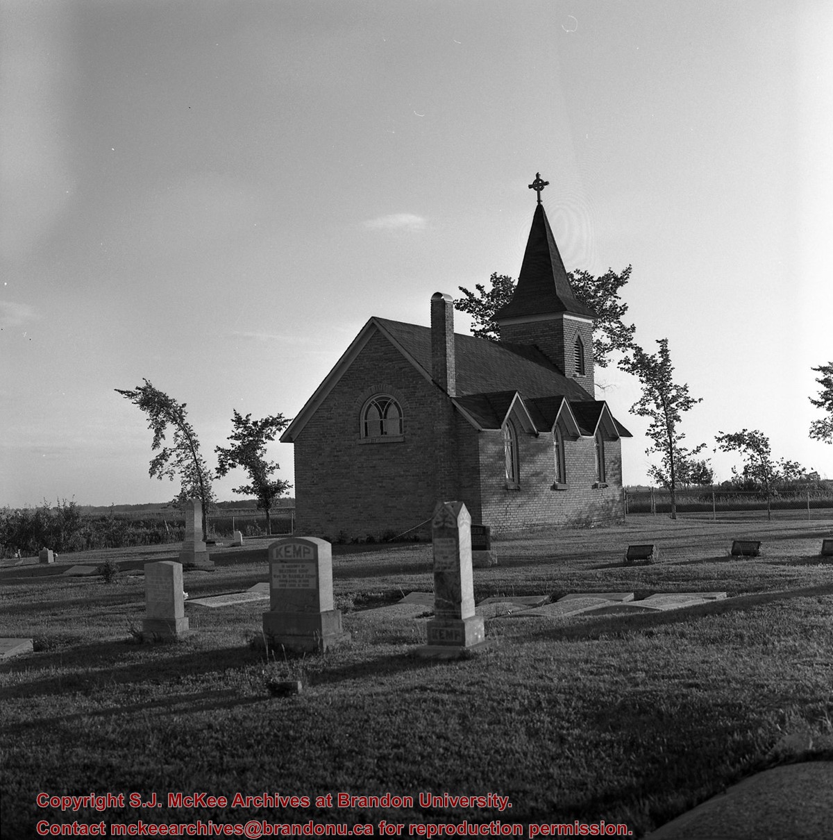
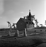
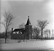
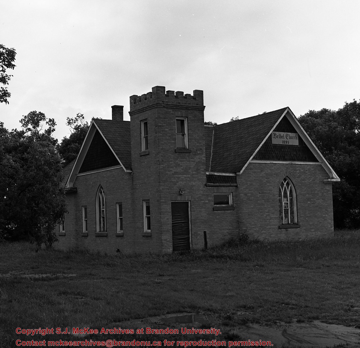
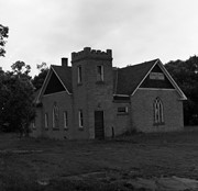
Image of Bethel Church (1895) on Highways 2 & 21 west of Deleau, Manitoba.
Notes
[Brandon SW includes communities south of Trans-Canada #1 highway and west of PTH #10.] [Images 349a and 349b are images of the exterior of the church, and images 349c-349-e are images of the stained glass windows.]
For custodial history see the collection level description of the Lawrence Stuckey collection.
Scope and Content
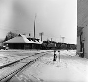
Image of CPR 2/977. 5900-5592-5544-8804 and station, Minnedosa, Manitoba. Image was taken along the CPR Minnedosa & Bredenbury subdivision (ex. Manitoba & N.W. Railway).


.jpg?width=1200&404=no-img.jpg&watermark=wmk)
.jpg?width=180&404=no-img.jpg)
.jpg?width=1200&404=no-img.jpg&watermark=wmk)
.jpg?width=180&404=no-img.jpg)


.jpg%3fmaxheight%3d1000%26maxwidth%3d1000%26watermark%3dwmk&description=Brandon+House+No.+2+Cairn)
.jpg%3fmaxheight%3d1000%26maxwidth%3d1000%26watermark%3dwmk&description=Brandon+House+No.+2+Cairn)
%0a)
%0a)
%0a)
+on+Highways++2+%26+21+west+of+Deleau%2c+Manitoba.)
+on+Highways++2+%26+21+west+of+Deleau%2c+Manitoba.)
+on+Highways++2+%26+21+west+of+Deleau%2c+Manitoba.)
+on+Highways++2+%26+21+west+of+Deleau%2c+Manitoba.)
+on+Highways++2+%26+21+west+of+Deleau%2c+Manitoba.)
+on+Highway+2-21+near+Hartney+Junction)