See fonds level of the CKX records for custodial history.
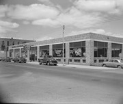
Scope and Content
Image consists of an aerial view looking north at the intersection of Highways 1 and 10 and shows the British American dealer located at the intersection.
See fonds level of the CKX records for custodial history.
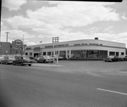
Scope and Content
Image consists of an aerial view looking southeast at the intersection of Highways 1 and 10 and shows the British American dealer located at the intersection.
See fonds level of the CKX records for custodial history.
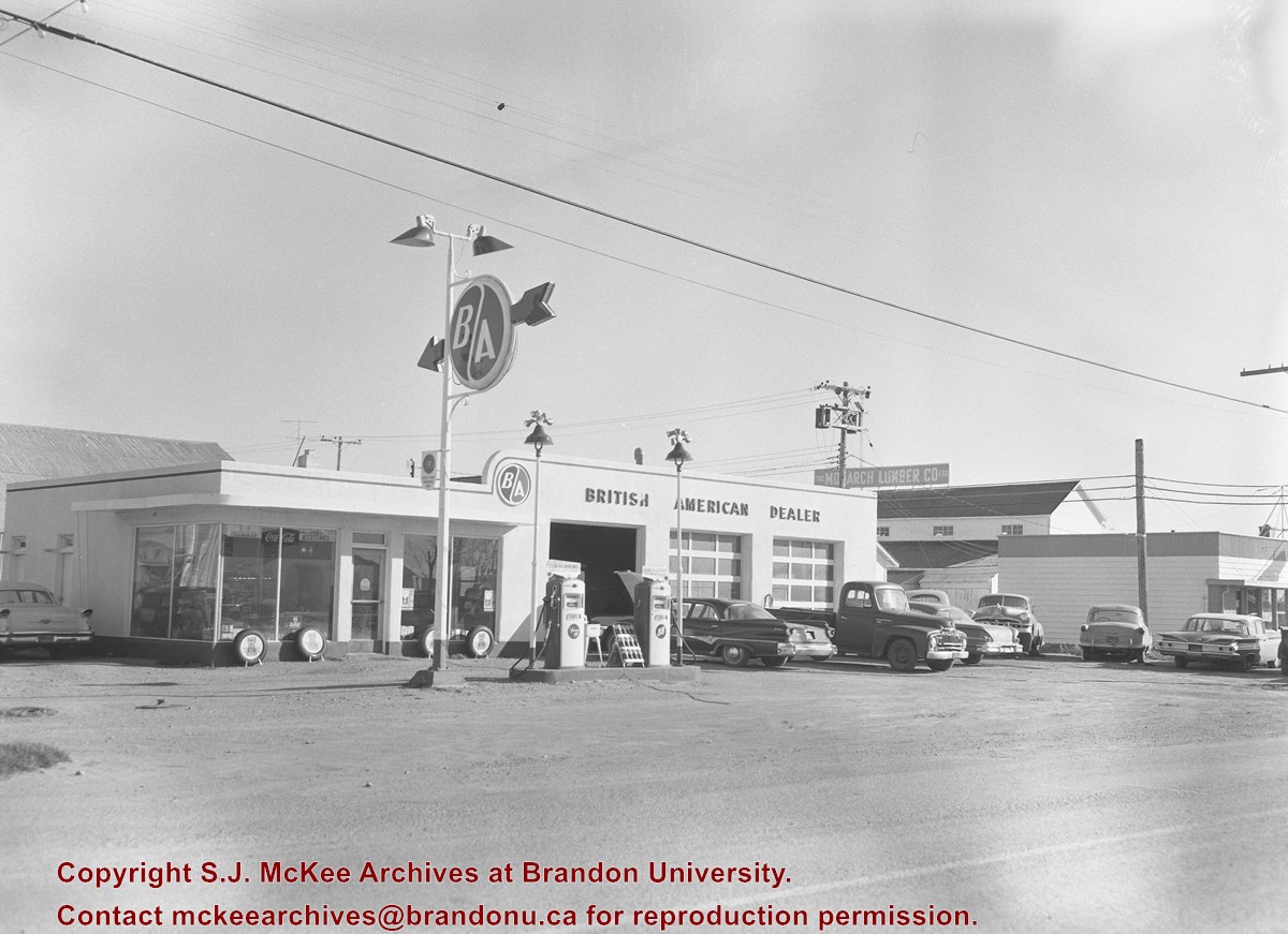
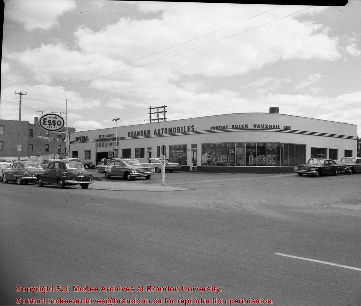
Scope and Content
Image consists of an aerial view looking northeast at the intersection of Highways 1 and 10 and shows the British American dealer located at the intersection.
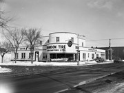
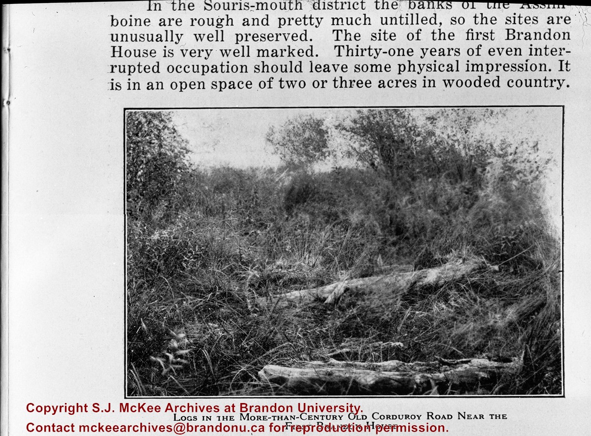
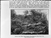
For custodial history see the collection level description of the Lawrence Stuckey collection.
Scope and Content
Image of corduroy road, Brandon House.
Notes
[Brandon SE includes communities south of Trans-Canada #1 highway and east of PTH #10.] [Caption on the image itself reads: "Logs in the more-than-century old corduroy road near the first Brandon House"]. [Additional information on the image itself reads: "In the Souris-mouth district the banks of the Assiniboine are rough and pretty much untilled, so the sites are unusually well preserved. The site of the first Brandon House is very well marked. Thirty-one years of even interrupted occupation should leave some physical impression. It is in an open space of two or three acres in wooded country."]


)