For custodial history see the collection level description of the Lawrence Stuckey collection.
Scope and Content
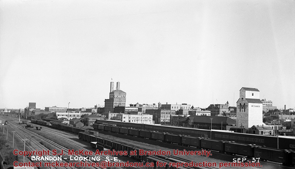
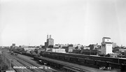
View of Assiniboine Avenue running west, from Ninth Street North
Notes
Second building from right - Westbrook & Fairchild Implements. At left - Western Hotel; Data [courtesy of] Roy Brown from Henderson's [Directory]; From Manitoba Archives
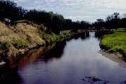
Situated in the R.M. of Whitehead on the Little Saskatchewan River, the 10 Mile Dam was a 14 kilometer transmission line that supplied the city of Brandon with power. The Brandon Electric Light Company built the dam in 1900 and it is considered Manitoba's first hydroelectic power generating station. The dam spanned approximately 80 meters and was constructed from timber and reinforced with clay and stone. The station was decommissioned in 1924.
Scope and Content
Photograph shows 10 Mile Dam, also known as the Brandon Dam or Minnedosa River Hydro Plant.
Notes
Writing on the back of the photograph reads: "10 mile dam". Biographical information obtained from Manitoba Historical Society.
Situated in the R.M. of Whitehead on the Little Saskatchewan River, the 10 Mile Dam was a 14 kilometer transmission line that supplied the city of Brandon with power. The Brandon Electric Light Company built the dam in 1900 and it is considered Manitoba's first hydroelectic power generating station. The dam spanned approximately 80 meters and was constructed from timber and reinforced with clay and stone. The station was decommissioned in 1924.
Scope and Content
Photograph shows 10 Mile Dam, also known as the Brandon Dam or Minnedosa River Hydro Plant. The dam's timber construction is quite evident in the picture.
Notes
Writing on the back of the photograph reads: McGuinness (Manitoba Hydro), on Little Saskatchewan.
Erected by the village of Wawanesa, the memorial is dedicated to the local citizens who died as a result of the First and Second World Wars. It was unveiled on November 11, 1921.
Scope and Content
Photograph shows the dedication of a war memorial in the village of Wawanesa, MB. The memorial is located near the bank of the Souris River. The photograph was taken from Wawanesa Mutual. The street on the left is 4th Street.
Notes
History/Bio information taken from the Canadian National Defense website.
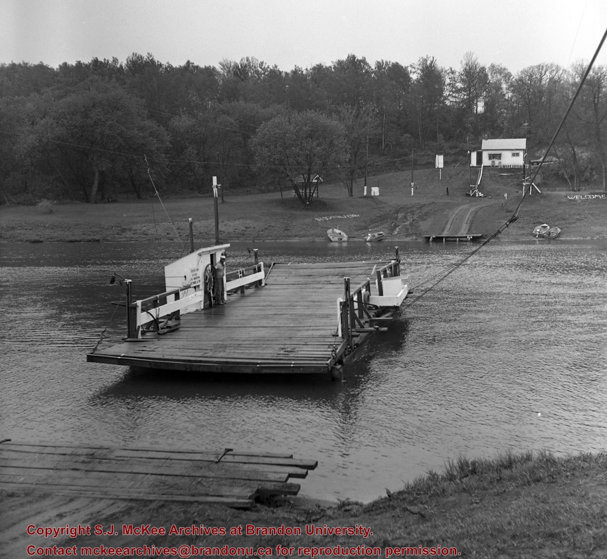
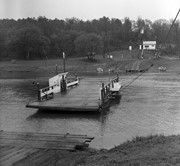
Bunclody, MB was located near Souris, MB. The bridge in question crossed the Souris River.
Custodial History
Photograph was donated by a "Mrs. Wilson" in 1989.
Scope and Content
Photograph shows a portion of the Great Northern Railway track with the Bunclody bridge in the background. Also visible are a couple of houses, railway cars, lumber and part of the Souris River. The photograph was taken in early winter or early spring.
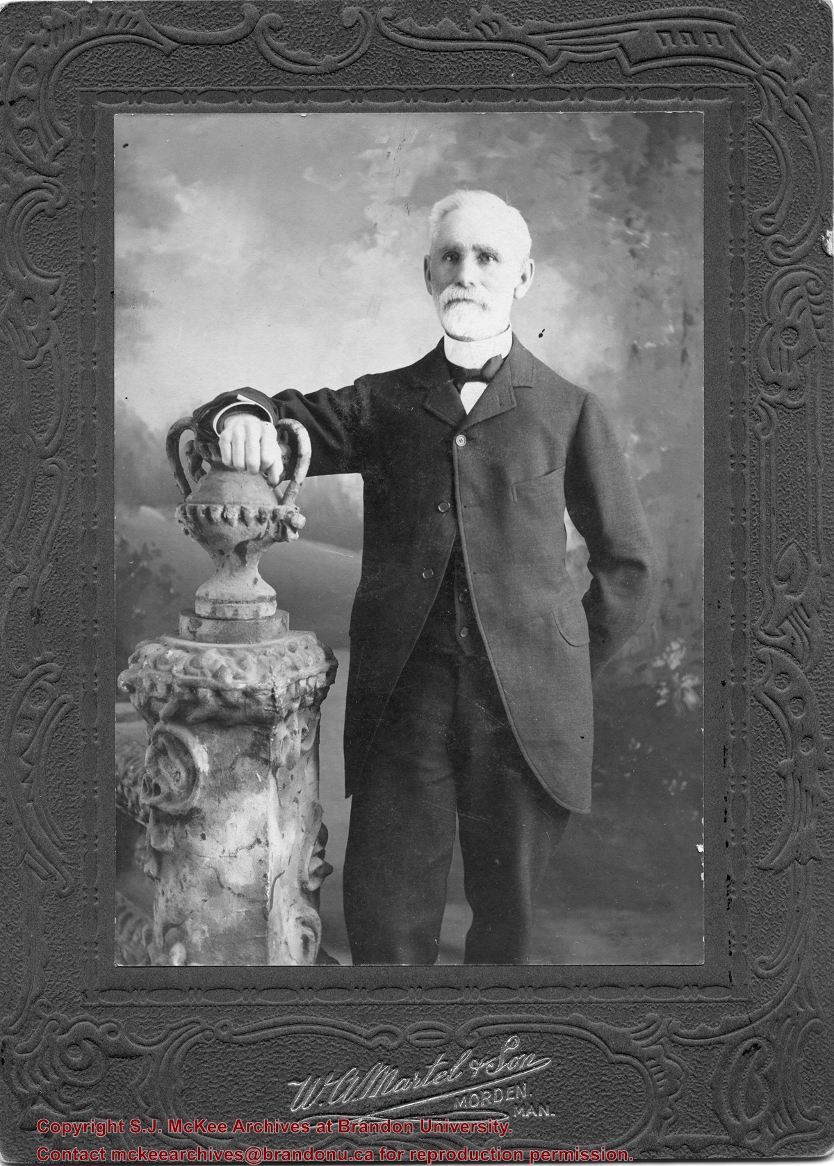
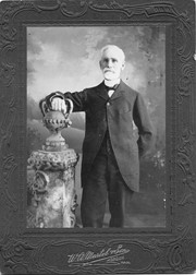
William Currie was born on February 28, 1834 in Lanark County, ON. In 1860, he moved to St. Mary's, where he worked in mercantile and grain businesses until 1879, when he emigrated to Manitoba. The following year, he took up homesteading along the Assiniboine River, at a site known as Currie's Landing. He received and forwarded frieght from steamboats travelling the river. From 1893-1902, he served as baliff for the Brandon District, before resigning and moving to Brandon where he engaged in the real estate and fire insurance business.
Currie married Ellen Creighton of Blanchard, ON in 1861. Together they had six chrildren: Robert Wilson Currie, Margaret Anne Currie, Harriet Ellen Currie, William James Currie, James Weldon Currie, and Lottie Louise Currie.
William Currie died on March 30, 1931 in Brandon, MB.
Scope and Content
Item is a studio portrait of William Currie.
Notes
History/Bio information taken from the Manitoba Historical Society website (http://www.mhs.mb.ca/docs/people/currie_w.shtml)


