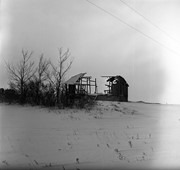
For custodial history see the collection level description of the Lawrence Stuckey collection.
Scope and Content
Image of CP Ex. W. 6015-5701-5929-5747-QNS&L 215-6037, Glossop, Manitoba. Image was taken along the CPR Minnedosa & Bredenbury subdivision (ex. Manitoba & N.W. Railway).
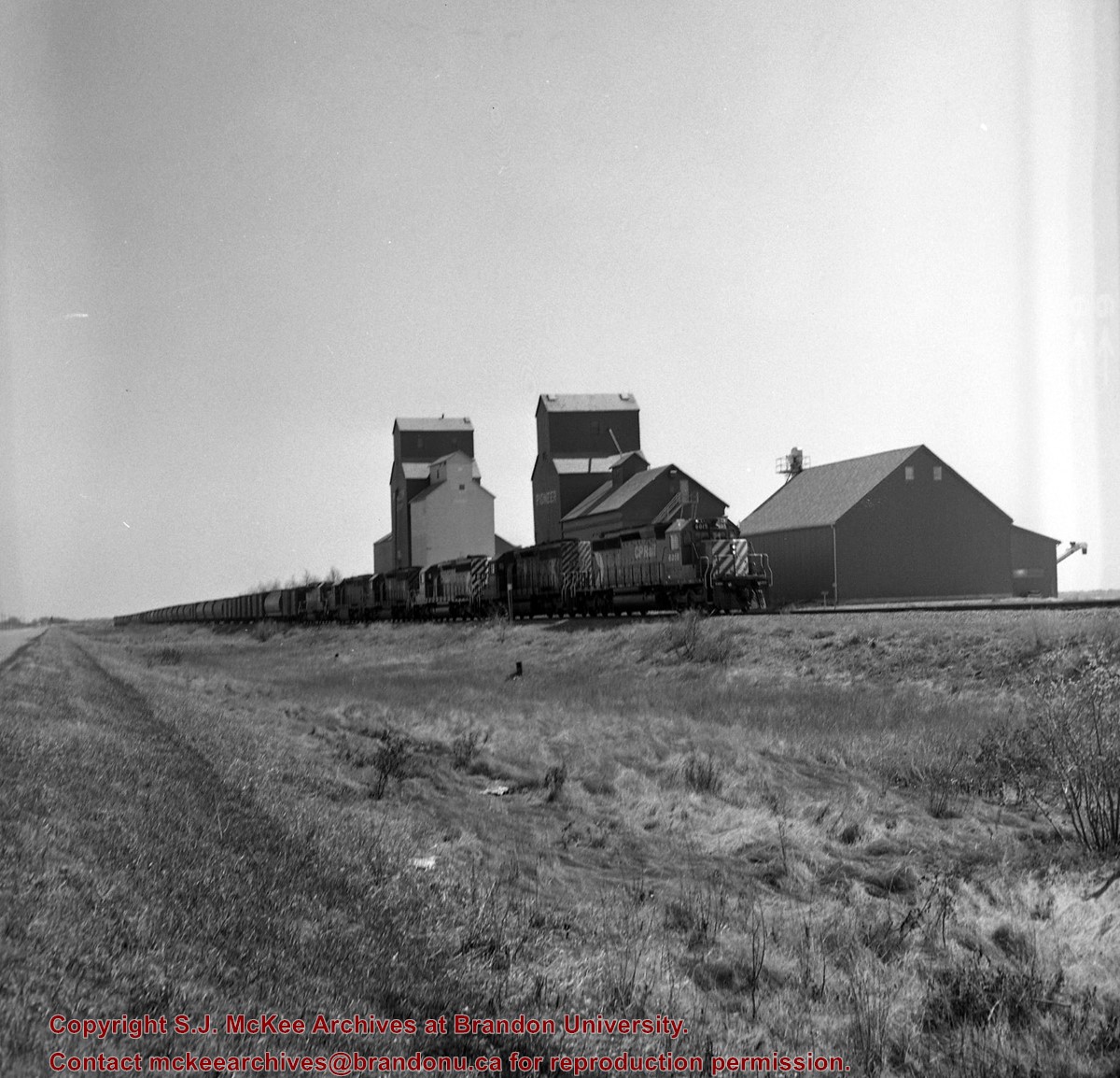
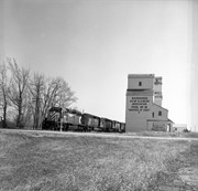
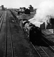
For custodial history see the collection level description of the Lawrence Stuckey collection.
Scope and Content
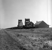
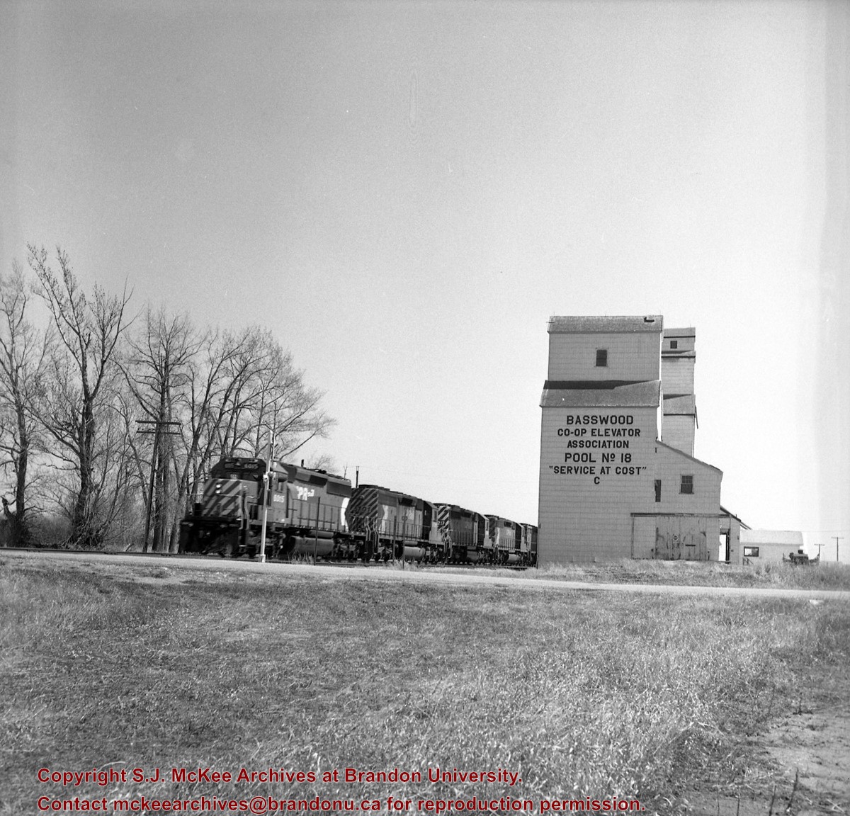
Image of CP Ex. W. 6015-5701-5929-5747-QNS&L 215-6037, Basswood, Manitoba. Image was taken along the CPR Minnedosa & Bredenbury subdivision (ex. Manitoba & N.W. Railway).
Notes
[image shows a Basswood Co-op Association elevator].
For custodial history see the collection level description of the Lawrence Stuckey collection.
Scope and Content
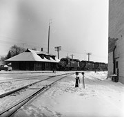
Image of CP XW. 6015-5701-5929-5747-QNS&L 215-6037, Shoal Lake, Manitoba. Image was taken along the CPR Minnedosa & Bredenbury subdivision (ex. Manitoba & N.W. Railway).
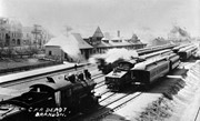
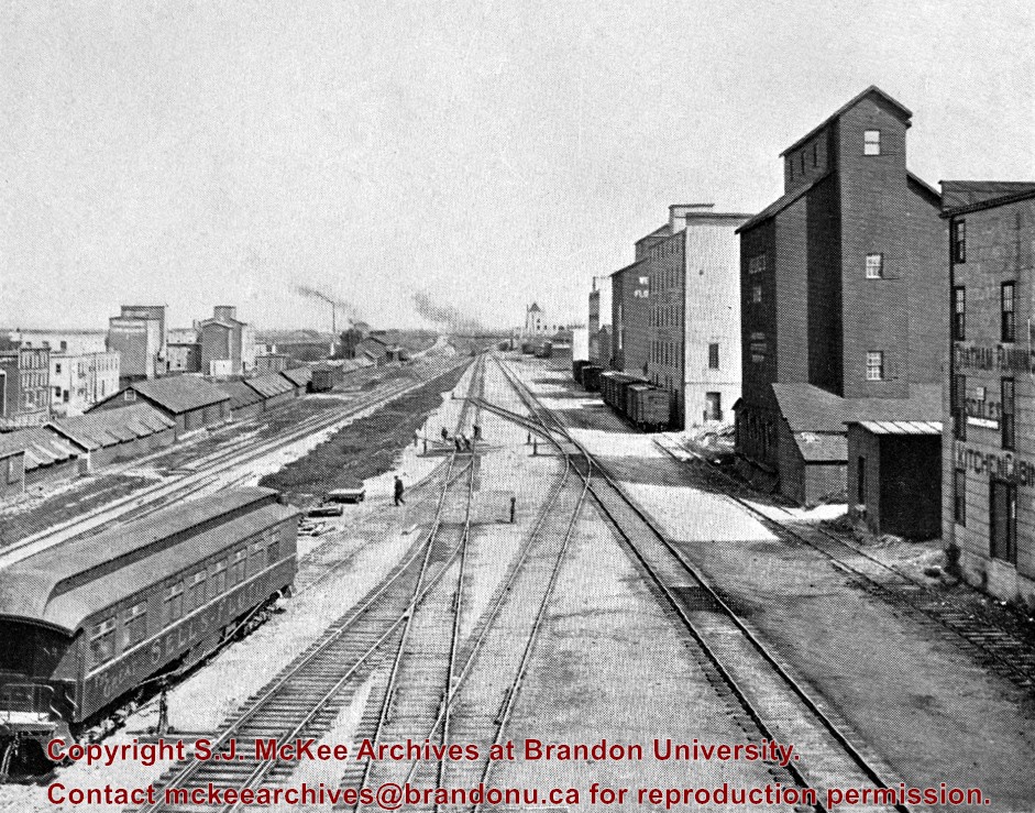
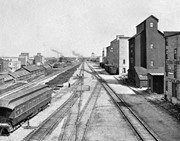
Stuckey's notes: In foreground is publicity coach of Sells-Floto Circus. On left the long row of domestic fuel coal sheds (many of which were later burned), Hanbury's Mill, elevators & Maple Leaf flour mill. On right elevator & Hanbury Hardware (in 1985 used by Christie School Supply).
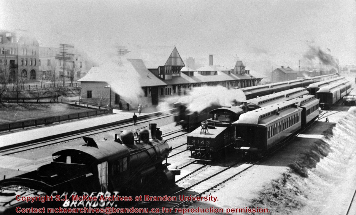
Scope and Content
Photograph is looking east along the CPR tracks.
Notes
Corresponds with negative 1-2002.3.9.P11.
Repro Restriction
The McKee Archives is the copyright holder for the Stuckey materials.
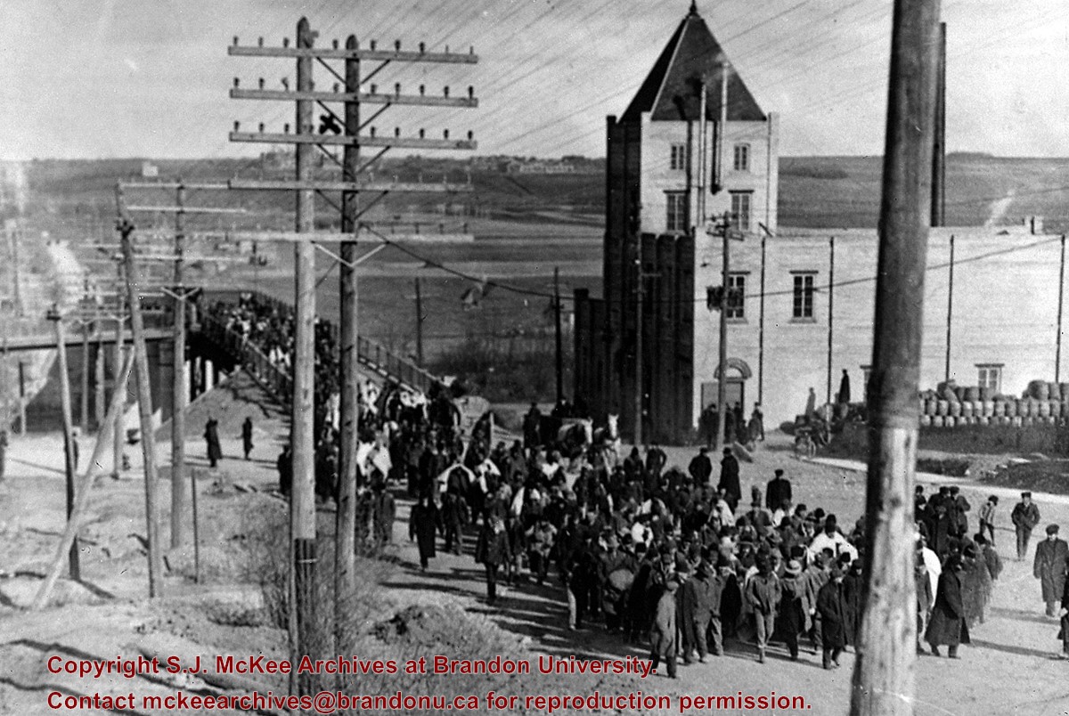
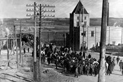
Seeking temporary housing, a parade of patients walked from the Brandon Asylum to the Winter Fair Building (located on the 500 block of 10th Street) the day after fire completely destroyed the asylum.
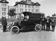
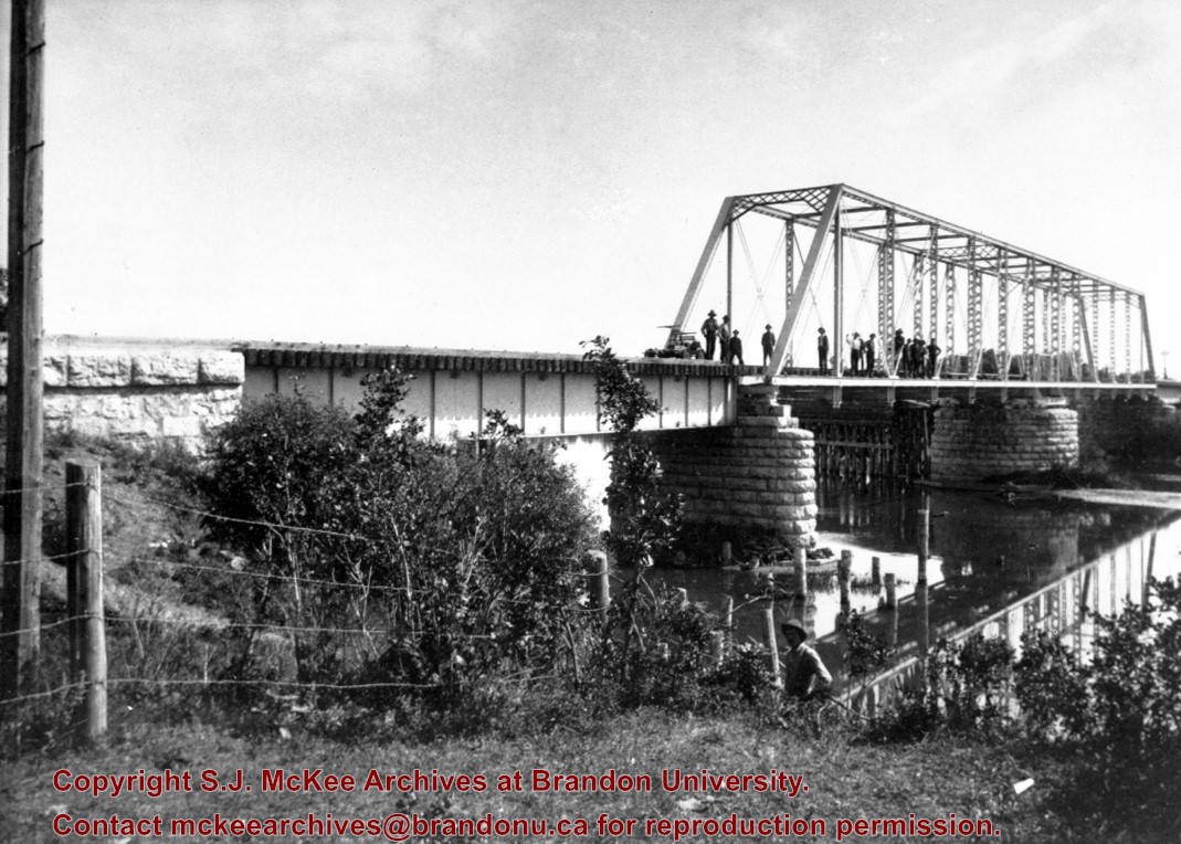
This photo shows the First Street Bridge as built and opened in 1909.
Note the pile of kegs next to the Empire Brewery. [The building was then] owned by Dave Weiss of Brandon Scrap Iron & Metals Recycling Co.
Custodial History
For custodial history see the collection level description of the Lawrence Stuckey collection.
Scope and Content
Brandon asylum patients crossing the First Street Bridge
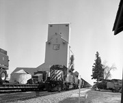
For custodial history see the collection level description of the Lawrence Stuckey collection.
Scope and Content
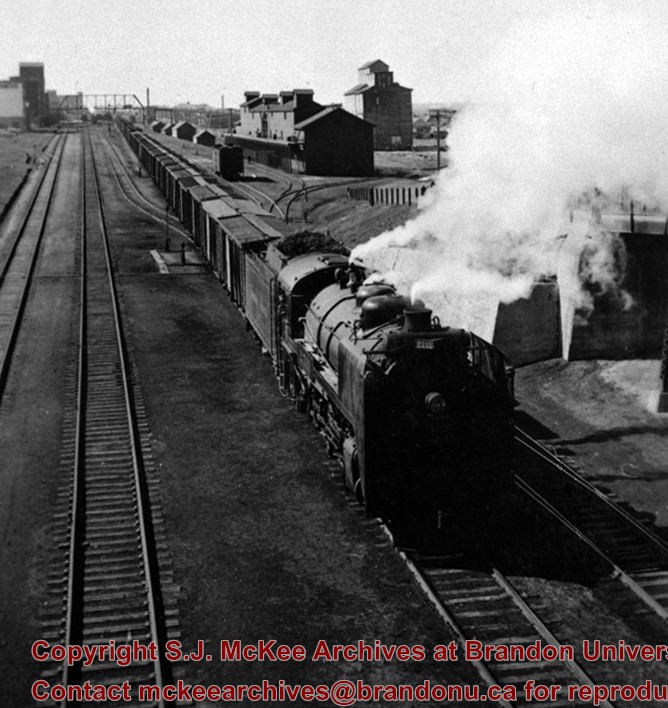
Image of CPR 2/977. 5900-5592-5544-8804 and station, Minnedosa, Manitoba. Image was taken along the CPR Minnedosa & Bredenbury subdivision (ex. Manitoba & N.W. Railway).
For custodial history see the collection level description of the Lawrence Stuckey collection.
Scope and Content
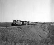
Image of CP XW 6015-5701-5929-5747-QNS&L 215-6037 on Silver Creek Fill, Binscarth, Manitoba. Image was taken along the CPR Minnedosa & Bredenbury subdivision (ex. Manitoba & N.W. Railway).
Stuckey's notes: Date determination: Engine 93, ex 375 received Series 2 numbering Sept. 1907 and repainting is still clean; some trees have leaves so could be Sept. 1907 but more likely about May 1908.
Scope and Content
Photograph is looking west along the CPR tracks. Trains at the station have both freight and passenger cars - freight and baggage is being loaded, while people are both arriving and departing.
Notes
Corresponds with negative 1-2002.3.9.P8.
Repro Restriction
The McKee Archives is the copyright holder for the Stuckey materials.
For custodial history see the collection level description of the Lawrence Stuckey collection.
Scope and Content
Image of Bethel Church (1895) on Highways 2 & 21 west of Deleau, Manitoba.
Notes
[Brandon SW includes communities south of Trans-Canada #1 highway and west of PTH #10.] [Images 349a and 349b are images of the exterior of the church, and images 349c-349-e are images of the stained glass windows.]


+from+1st+street+bridge)
+on+Highways++2+%26+21+west+of+Deleau%2c+Manitoba.)
+on+Highways++2+%26+21+west+of+Deleau%2c+Manitoba.)
+on+Highways++2+%26+21+west+of+Deleau%2c+Manitoba.)
+on+Highways++2+%26+21+west+of+Deleau%2c+Manitoba.)
+on+Highways++2+%26+21+west+of+Deleau%2c+Manitoba.)