For custodial history see the collection level description of the Lawrence Stuckey collection.
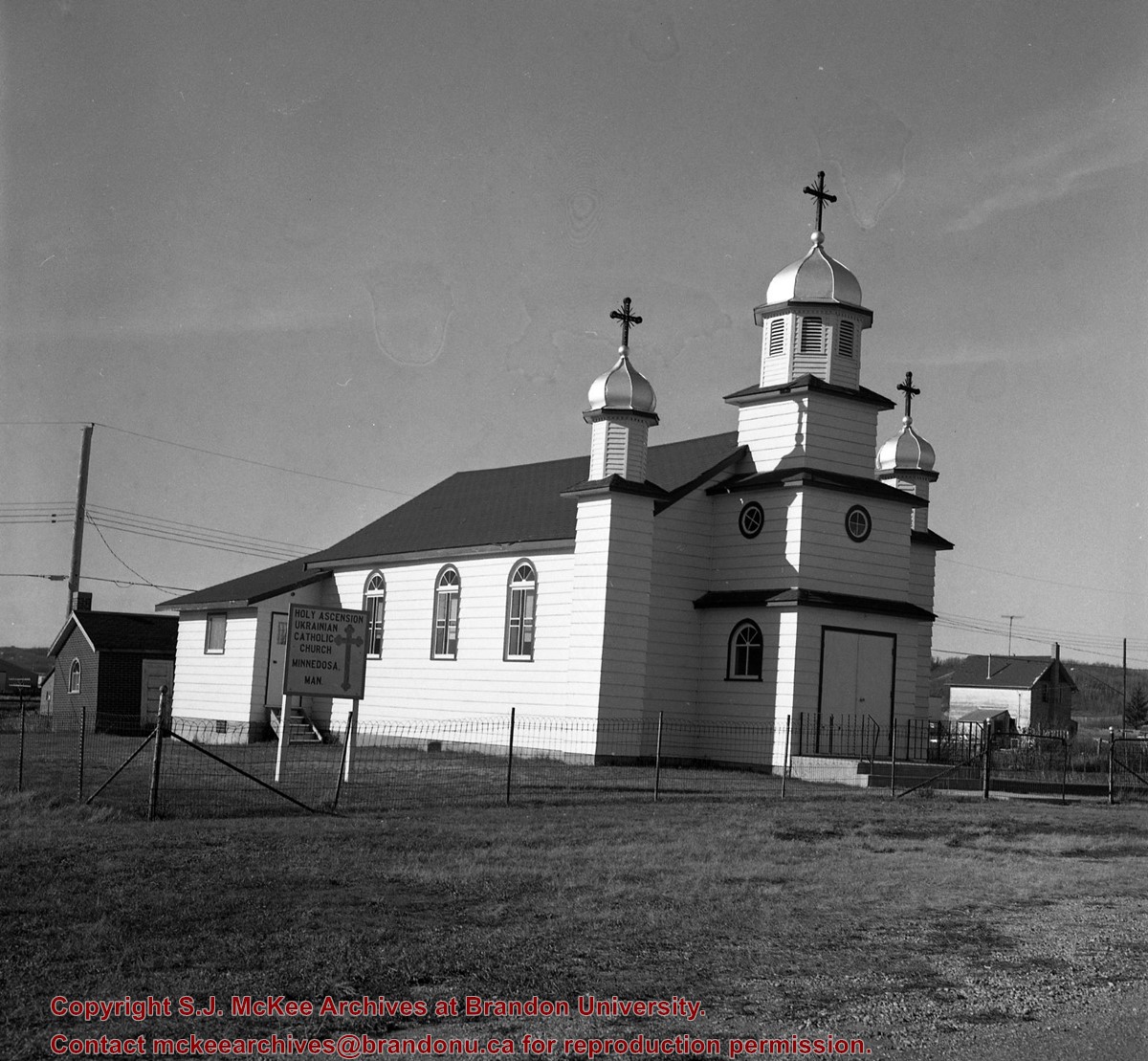
Scope and Content
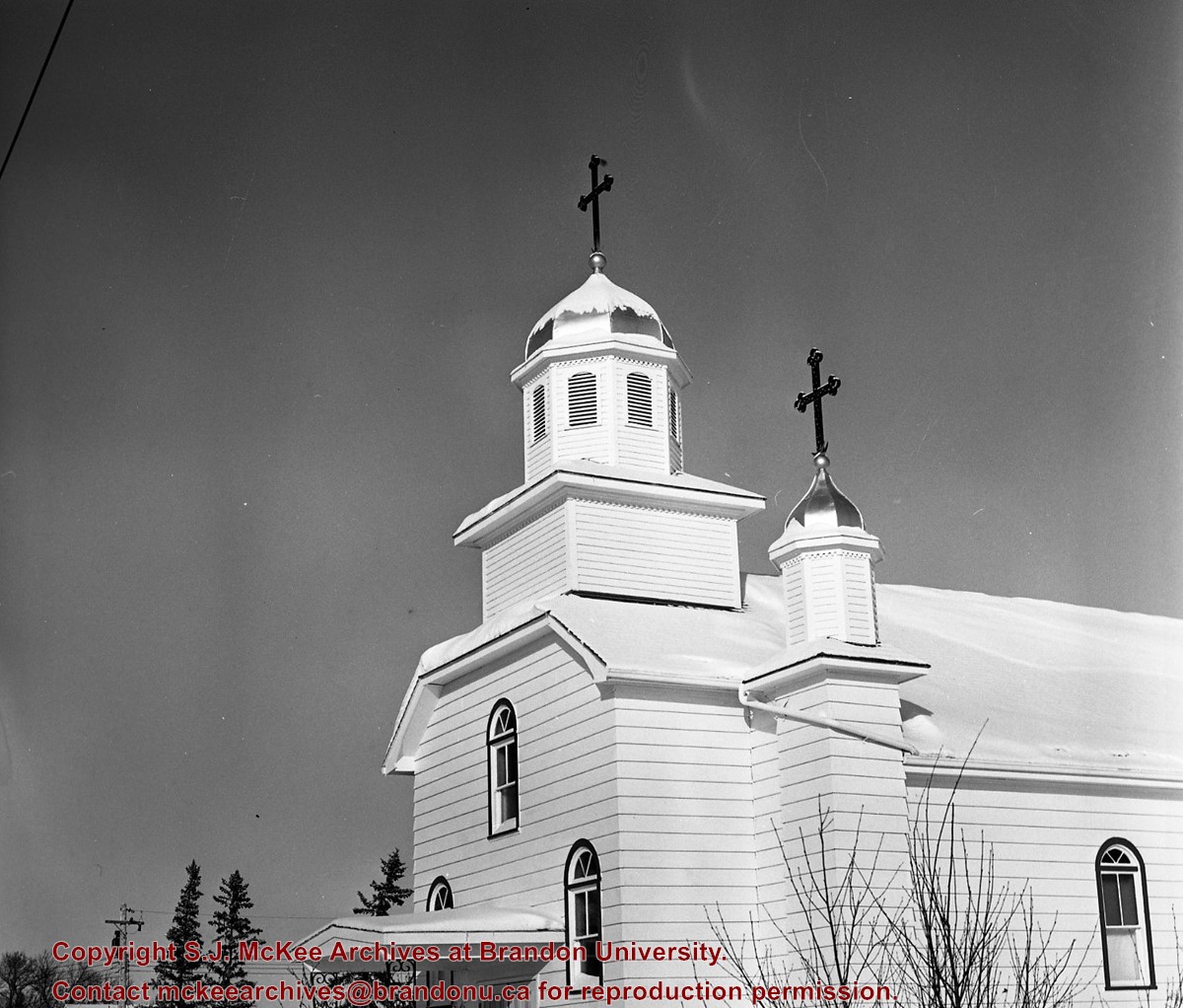
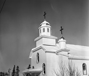
Image of Holy Ascension Ukrainian RC Church, Minnedosa, Manitoba. Image was taken along the CPR Minnedosa & Bredenbury subdivision (ex. Manitoba & N.W. Railway).
For custodial history see the collection level description of the Lawrence Stuckey collection.
Scope and Content
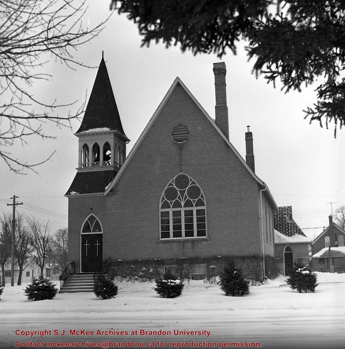
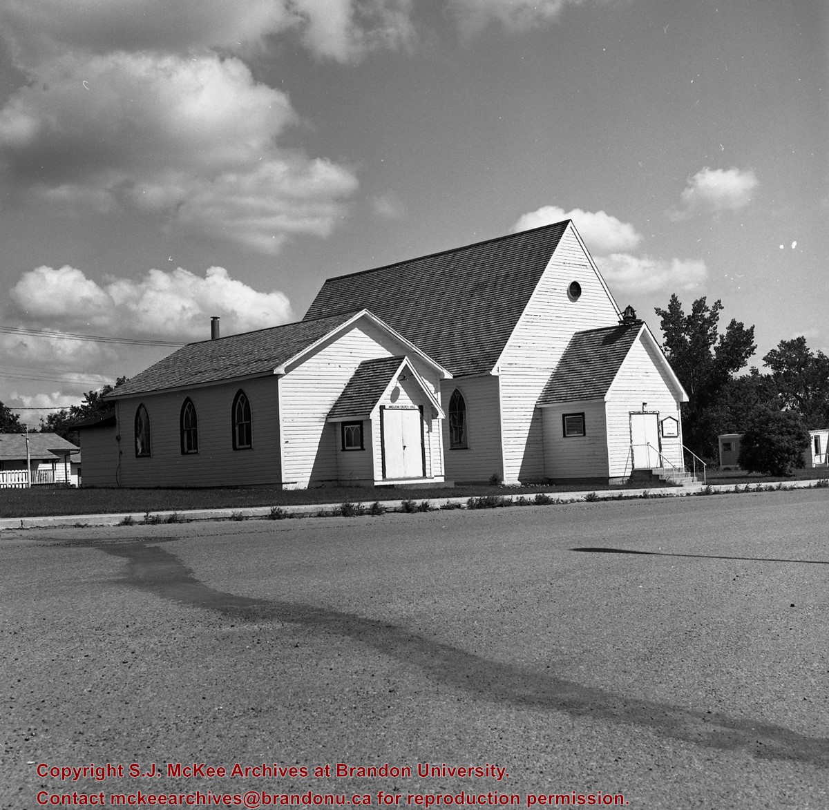
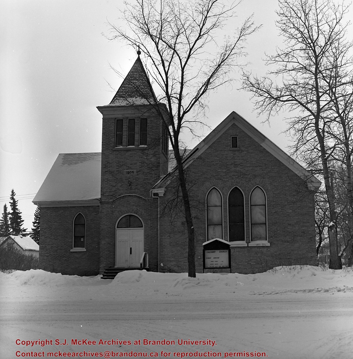
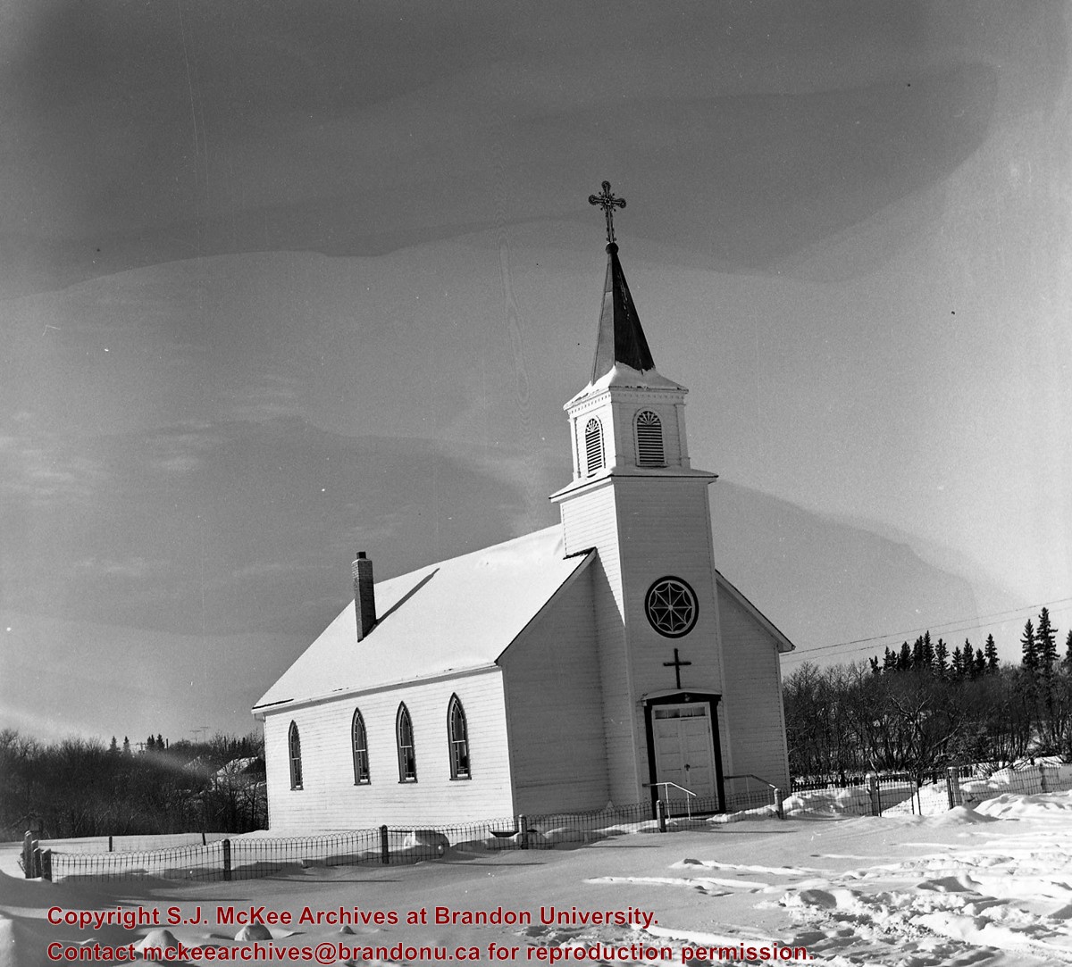
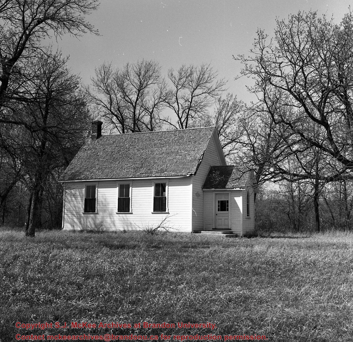
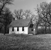
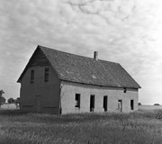
Image of Bethel Church (1895) on Highways 2 & 21 west of Deleau, Manitoba.
Notes
[Brandon SW includes communities south of Trans-Canada #1 highway and west of PTH #10.] [Images 349a and 349b are images of the exterior of the church, and images 349c-349-e are images of the stained glass windows.]
For custodial history see the collection level description of the Lawrence Stuckey collection.
Scope and Content
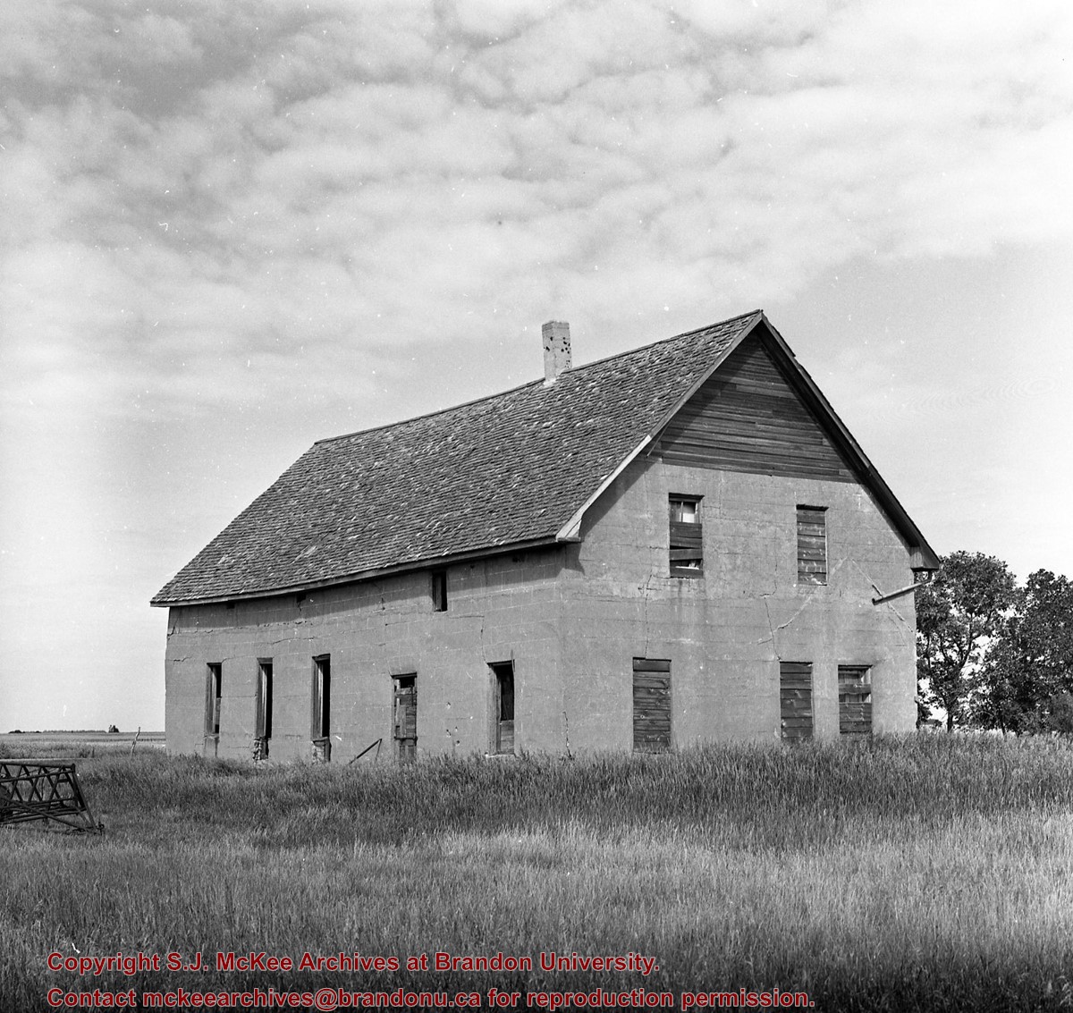
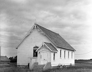
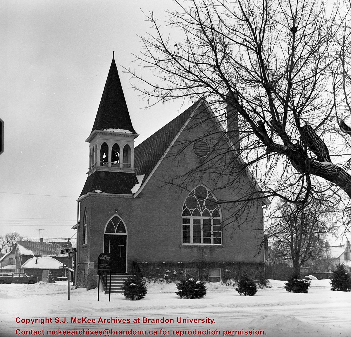
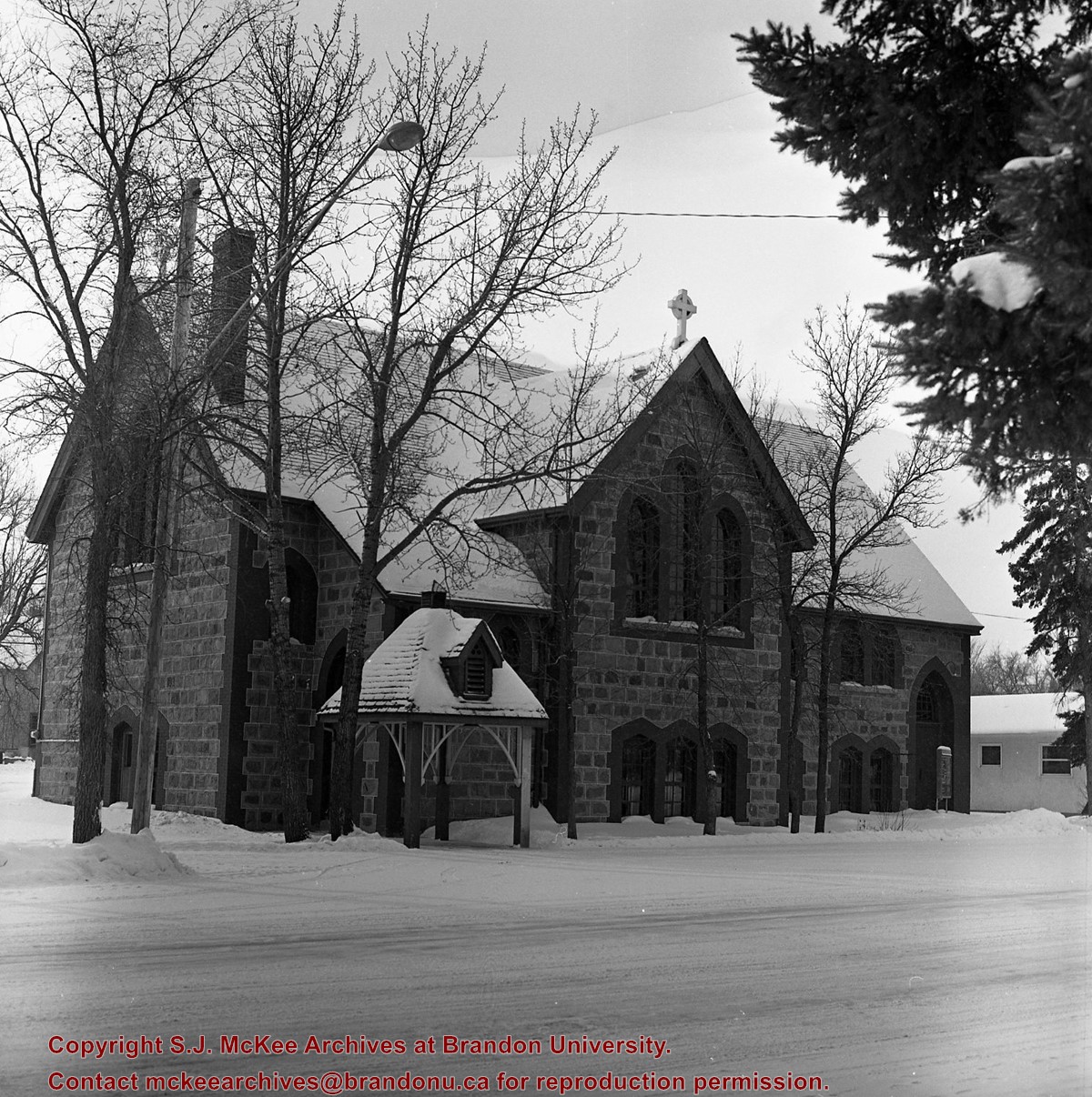
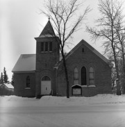
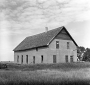
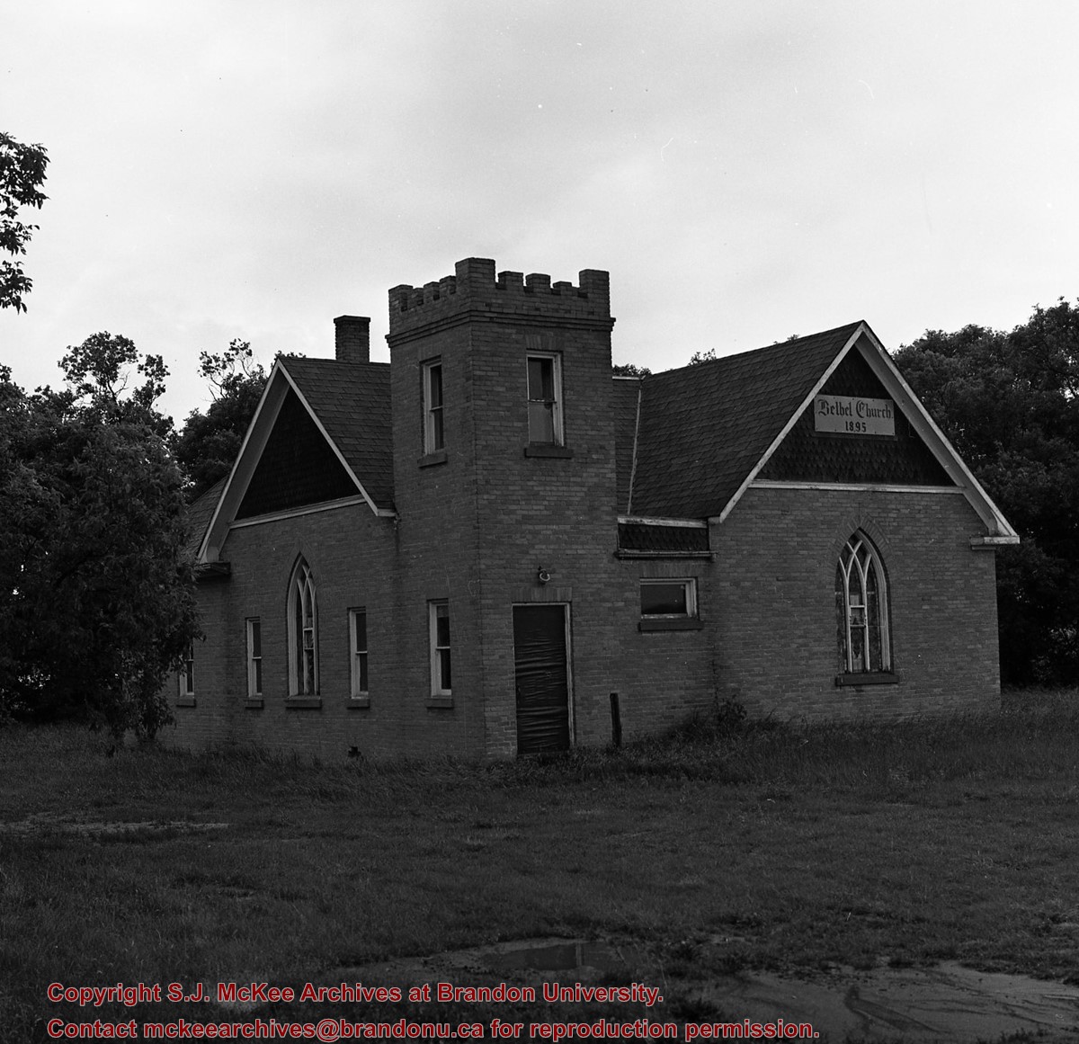
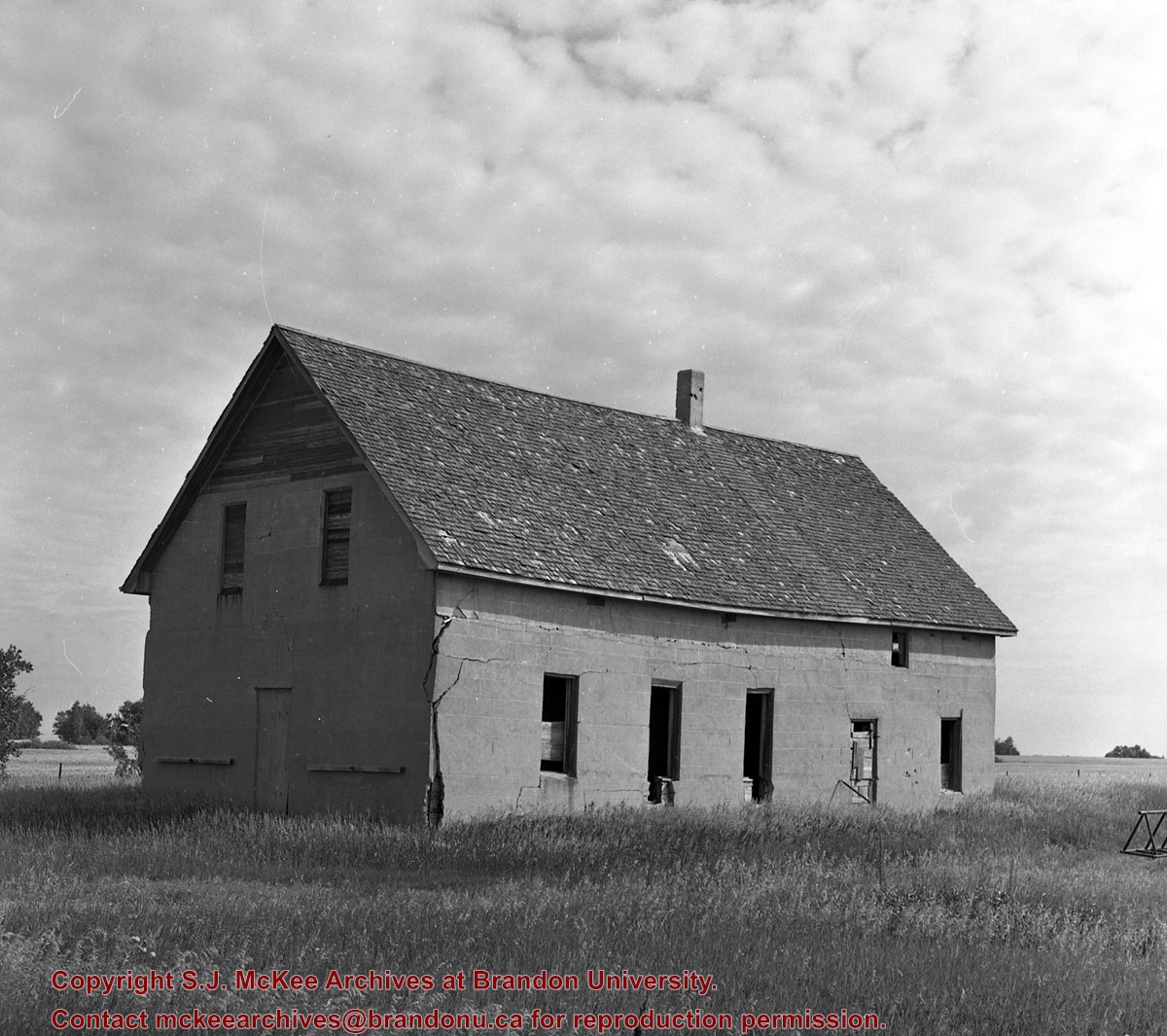
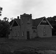
Image of Bethel Church (1895) on Highways 2 & 21 west of Deleau, Manitoba.
Notes
[Brandon SW includes communities south of Trans-Canada #1 highway and west of PTH #10.] [Images 349a and 349b are images of the exterior of the church, and images 349c-349-e are images of the stained glass windows.]
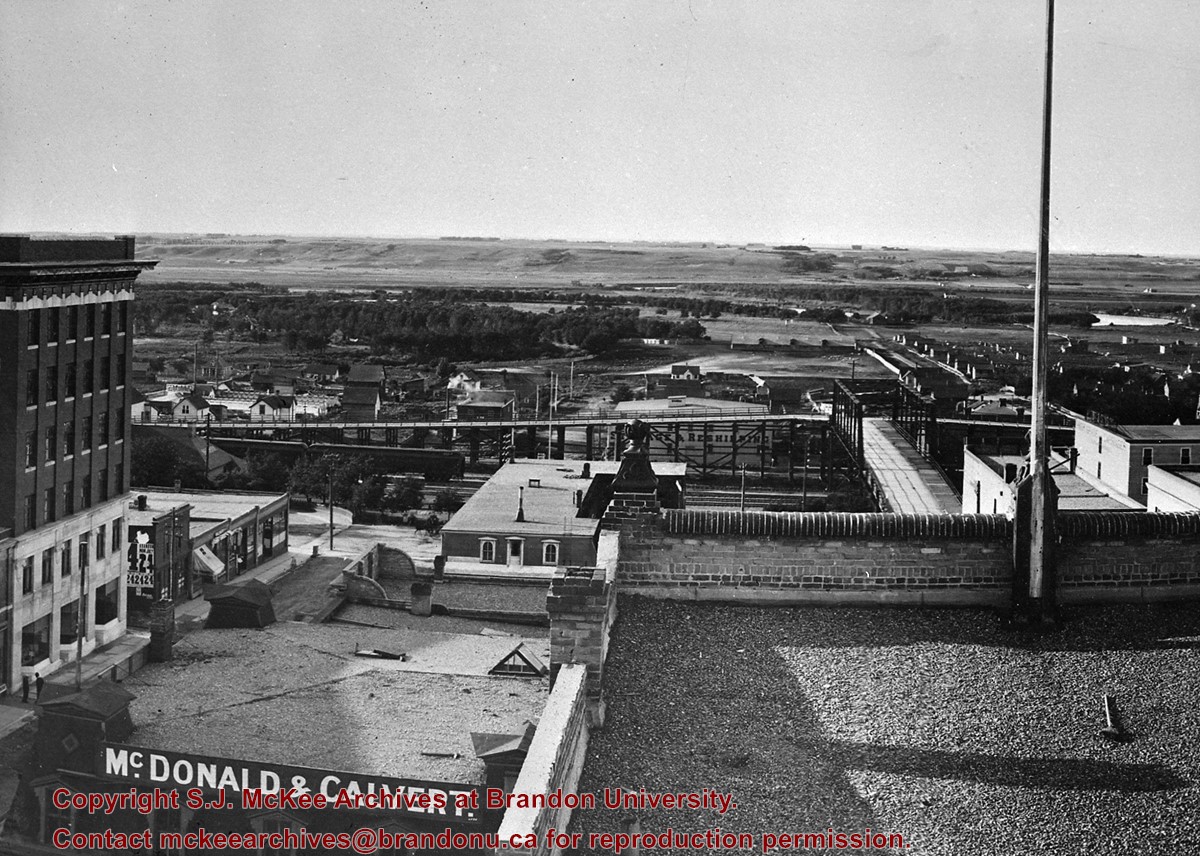
Bridge built by the Canadian Pacific Railway and presented to City of Brandon in 1904 in exchange for permission to close the level crossing at Sixth Street; Iron cantilever bridge over tracks; Two timber trestles each two blocks long running east and west connected to Assiniboine Avenue; Pedestrian stairway connected to Eight Street North
West approach torn down August 1934 and timber used to resurface East approach
Custodial History
For custodial history see the collection level description of the Lawrence Stuckey collection.
Scope and Content
View of original Eighth St. bridge from Christie Building, including East and West ramp approaches from Assiniboine Ave.
Notes
Photographer I.C. Barton from Chicago Illinois.
Additional historical information provided by Fred McGuinness collection (20-2009).


+Church+and+manse%2c+Carberry%2c+Manitoba.)
+Church+and+manse%2c+Carberry%2c+Manitoba.)
%2c+Minnedosa%2c+Manitoba.)
+on+Highways++2+%26+21+west+of+Deleau%2c+Manitoba.)
+on+Highways++2+%26+21+west+of+Deleau%2c+Manitoba.)
+on+Highways++2+%26+21+west+of+Deleau%2c+Manitoba.)
+on+Highways++2+%26+21+west+of+Deleau%2c+Manitoba.)
+on+Highways++2+%26+21+west+of+Deleau%2c+Manitoba.)
%2c+southwest+of+Carnduff%2c+Saskatchewan)
+on+Highway+2-21+near+Hartney+Junction)