Library Reading Room, looking north, 2nd floor McKenzie Building. Naming of the Library (foreground) L to R: Robert Campbell (student),; Stanley Knowles, M.P & Chancellor
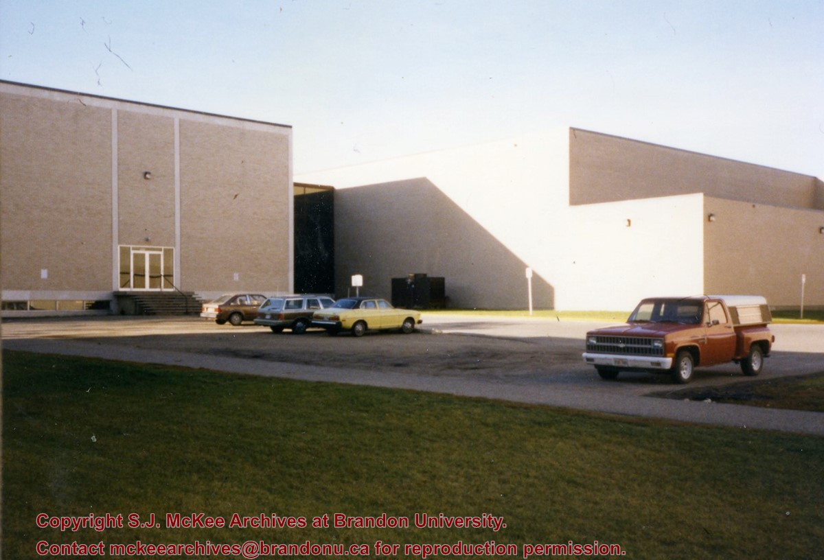
Photograph is looking southwest from in front of the Original Music Building and shows the north side of the A.E. McKenzie Building and the west side of the Queen Elizabeth II Music Building (including the link). A number of cars in the parking lot are also visible.
ARCH 2: North Lauder Locale
The North Lauder locale has a long archaeological and geological history that is important for understanding the forces that shaped the region. Archaeological research in the locale shows that the area has been occupied by humans for at least the past 6,500 years. Environmental forces provided an area of diverse resources that attracted early peoples.
Environment of the Lauder Sandhills
The North Lauder locale is part of the greater Lauder Sandhills area. The glaciers that covered this region began to recede approximately 11,000 years ago leaving a large lake known as glacial Lake Hind. The Souris River, the Lauder Sandhills and the Oak Lake Aquifer are remnants of the environmental and geological forces that shaped the region.
The Lauder Sandhills region is characterized by a landscape of sand sheets and stabilized sand dunes interspersed with a variety of wetlands. This complex topographic and hydrological situation favoured the development of an island mosaic of mixed forest, wetland and meadow, surrounded by mixed grass prairie. The result was a large, isolated ecotone which provided a rich variety of subsistence resources for hunter-gatherers.
Research in the Lauder Sandhills
Archaeologists from Brandon University have been conducting research in the Lauder Sandhills since 1991. Research in the North Lauder locale has focused on the Atkinson site, a 6,500 year old hunter-gatherer site and Flintstone Hill.
The Atkinson site
The Atkinson site is one of the oldest excavated sites in Manitoba and has been Radiocarbon dated to 6,500 years before present. The Atkinson site is located on the bank of the Souris River and was discovered when a hearth (fire pit) was seen eroding out of the bank. Based on the date of the site and the kind of lithics (stone tools) present it is considered a Gowen occupation. The Atkinson site is evidence that bison hunters were active on the northern plains at a very early date. Similar sites have also been found on the High Plains in the U.S. and are referred to as the Mummy Cave Complex.
The Atkinson Site is of great importance as it is the first undisturbed site of this type to be excavated in Manitoba and extends the range of these sites south and east from the type-sites in central Saskatchewan.
Flintstone Hill
The geomorphology of the glacial Lake Hind Basin over the past 11,000 years is known primarily through the study of a cut bank along the Souris River. Flint Stone Hill contains the most complete stratigraphic record for the post-glacial period on the northern plains. The site has been extensively studied by geoarchaeologists, geologists and paleoenvironmentalists over many years and their findings have contributed to our understanding of the region.
The North Lauder locale Borden designations of Atkinson site DiMe-27 and Flintstone Hill site DiMe-26.
Borden System
Archaeological sites in Canada are identified by the Borden system, which is a uniform site designation system. The country is divided into grids based on latitude and longitude in blocks of 10 x 20 minutes. The first 4 letters indicate the block and the following numbers indicate the actual site. For example the area of the Lauder Sandhills in southwestern Manitoba is identified by the letters DM and the North Lauder locale within that area is DiMe. The Atkinson site is DiMe-27 and the Flintstone Hill site DiMe-26. As new sites are discovered they will be numbered sequentially.
Scope and Content
The Series has been divided into two sub-series, including (1) Atkinson site DiMe-27 and Flintstone Hill site DiMe-26.
Radiocarbon date reports have been scanned in multi-page PDF files.
History / Biographical
The North Lauder locale has a long archaeological and geological history that is important for understanding the forces that shaped the region. Archaeological research in the locale shows that the area has been occupied by humans for at least the past 6,500 years. Environmental forces provided an area of diverse resources that attracted early peoples.
Archaeologists from Brandon University have been conducting research in the North Lauder locale that has focused on the Atkinson site, a 6,500 year old hunter-gatherer site and Flintstone Hill.
The geomorphology of the glacial Lake Hind Basin over the past 11,000 years is known primarily through the study of a cut bank along the Souris River. Flintstone Hill contains the most complete stratigraphic record for the post-glacial period on the northern plains. The site has been extensively studied by geoarchaeologists, geologists and paleoenvironmentalists over many years and their findings have contributed to our understanding of the region.
Radiocarbon dates were obtained from the Atkinson site and Flintstone Hill.
Radiocarbon dating
The technique of radiocarbon dating was developed by Willard Libby and his colleagues at the University of Chicago in 1949.
Radiocarbon dating is used to estimate the age of organic remains from archaeological sites. Organic matter has a radioactive form of carbon (C14) that begins to decay upon death. C14 decays at a steady, known rate of a half life of 5,730 years. The technique is useful for material up to 50,000 years. Fluctuations of C14 in the atmosphere can affect results so dates are calibrated against dendrochronology. Radiocarbon dates are calibrated to calendar years.
Dates are reported in radiocarbon years or Before Present. Before Present refers to dates before 1950. The introduction of massive amounts of C14, due to atomic bomb and surface testing of atomic weapons, has widely increased the standard deviation on all dates after A.D. 1700 causing these dates to be unreliable.
Accelerated mass spectrometry can more accurately measure C14 with smaller samples and can date materials to 80,000 years.
Scope and Content
Sub sub series contains radiocarbon dates from: the Atkinson site and Flintstone Hill.
Photograph has pen markings and publishing mark-up notes on front and back of matting
Scope and Content
Photograph shows the north side of the 900-block of Rosser Avenue, facing west from 9th Street. All the shops appear to be woodframed buildings; the sidewalk has yet to be installed and wooden planks have been laid down in front of the shops. Visible storefronts include: (left to right): Leask & Rose, general merchants (at the 11th Street intersect); Fortier & Bucke - Manufacturers' Agents and CPR Express Co.; The New Era - real estate office; Imperial Bank of Canada; Durand & Macdonald Law Office, T.D. McLean - jeweller; Deacon & Hooper - grocers; and J. Barker Vosburgh - Surgeon & Dentist. The building in the foreground has Rosser Avenue and 9th Street street signs affixed above the entrance to the building. A chuckwagon is parked in front of Fortier & Bucke.
Notes
Writing on the front of the photograph reads: Brandon.
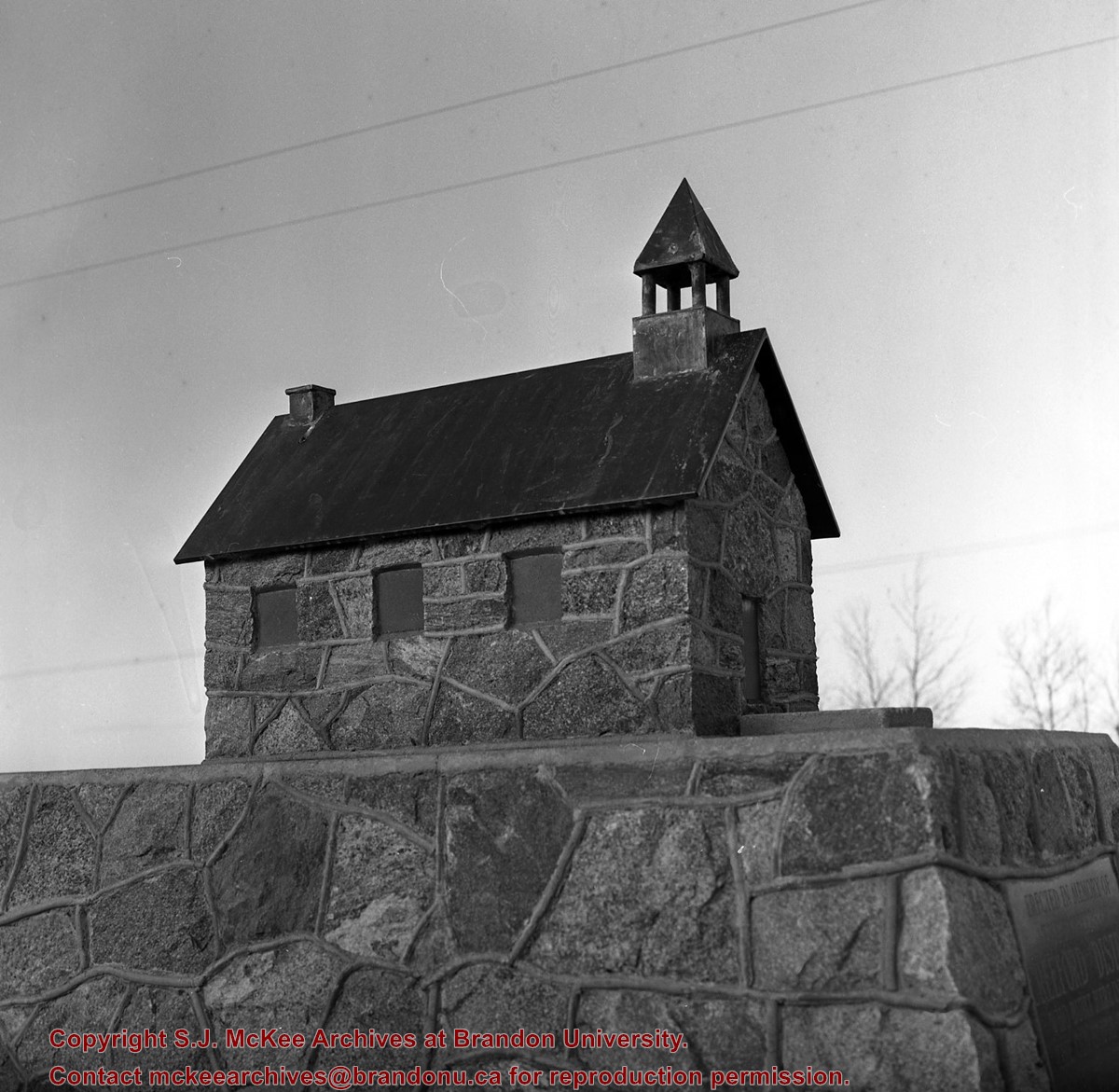
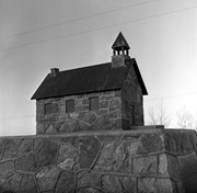
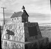
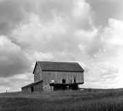
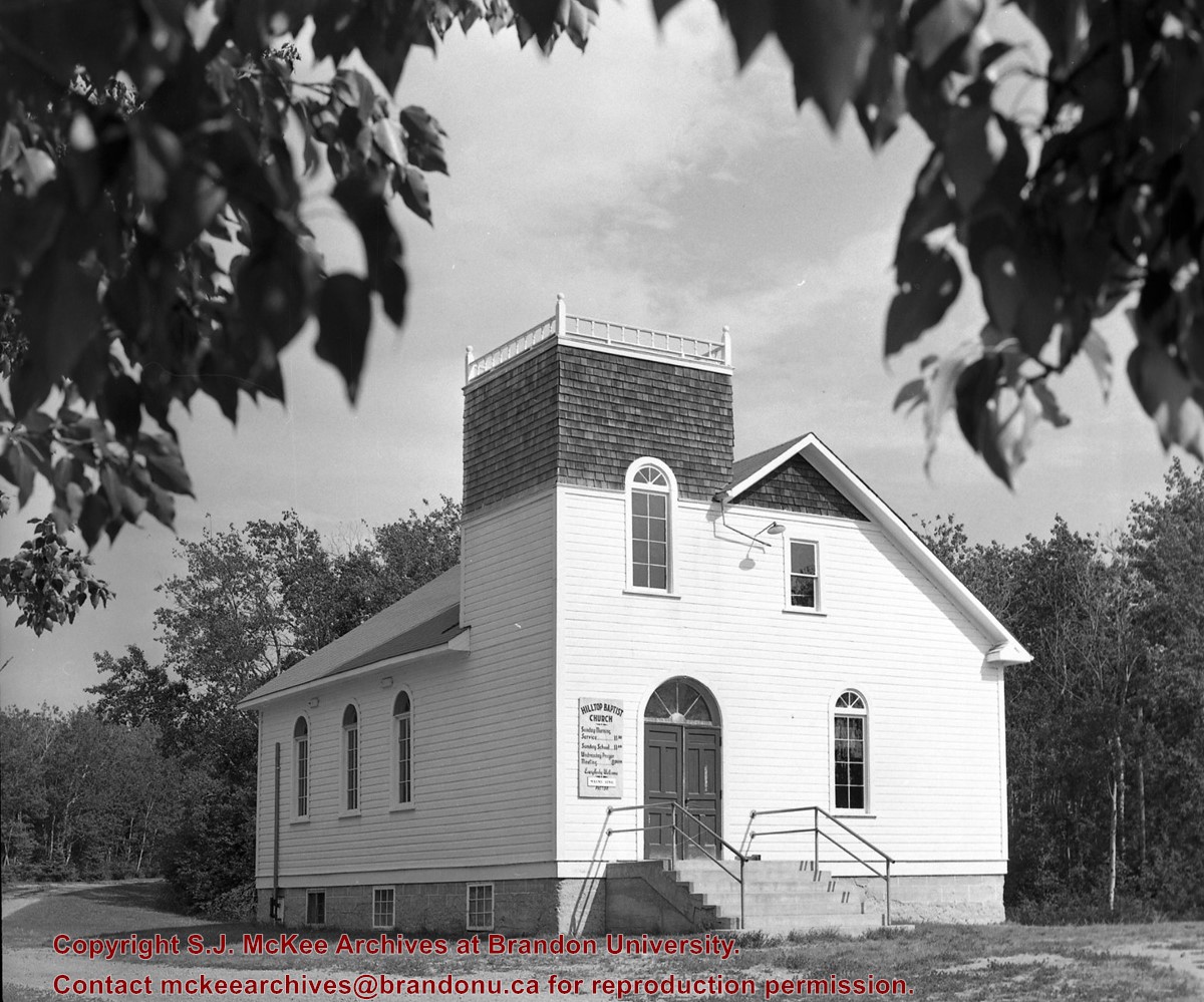
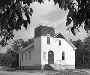
Stuckey's notes: Inscription: Erected in memory of the pioneers of CREEFORD DISTRICT Who built here in 1892 The Old Stone Church KNOX PRESBYTERIAN The Memory of the Just is Blessed 1956.
Custodial History
For custodial history see the collection level description of the Lawrence Stuckey collection.
Scope and Content
Image of CREEFORD church replica, north of Douglas, Manitoba.
Notes
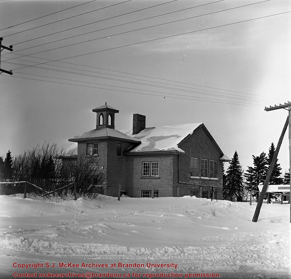
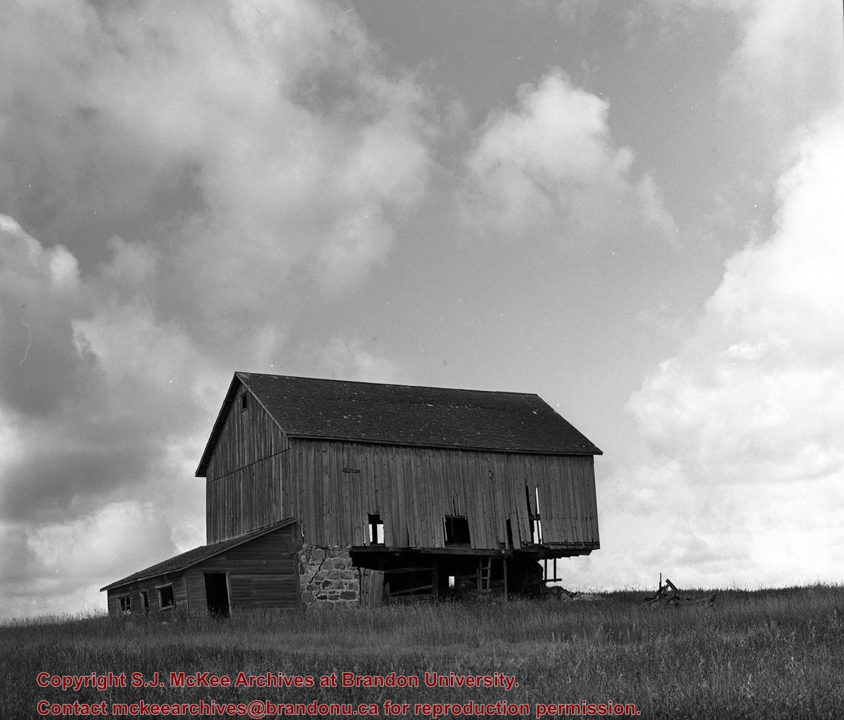
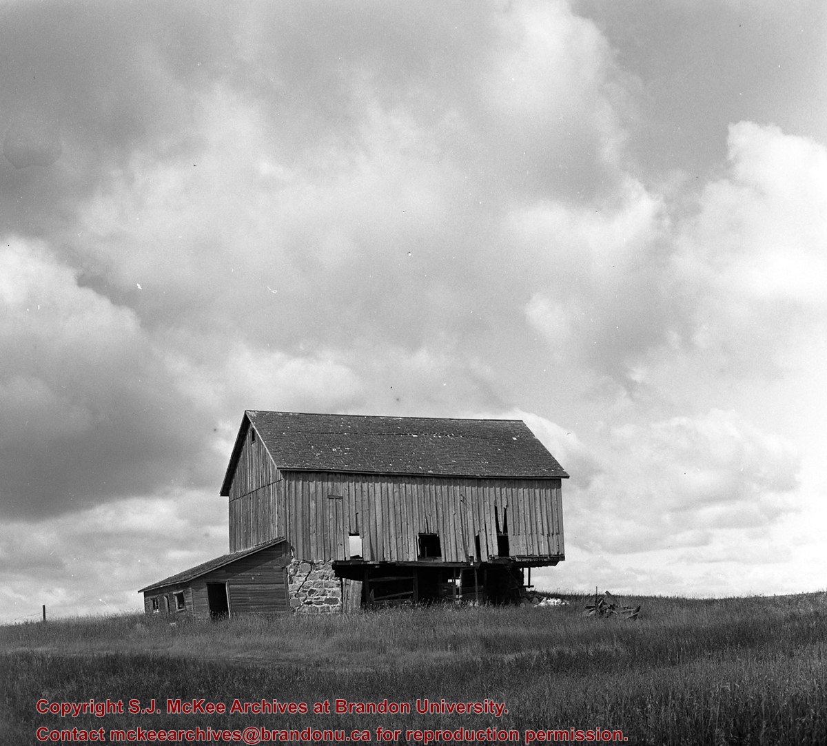
[Brandon NE includes communities north of Trans-Canada #1 highway and east of PTH #10.]
The McKee Archives is the copyright holder of the Stuckey materials.
Storage Location
Lawrence Stuckey collection
Arrangement
[Mr. Stuckey put three negatives and a print in one envelope. We have separated them and numbered the negatives (294a) to (294c) and the print (294a-p)].
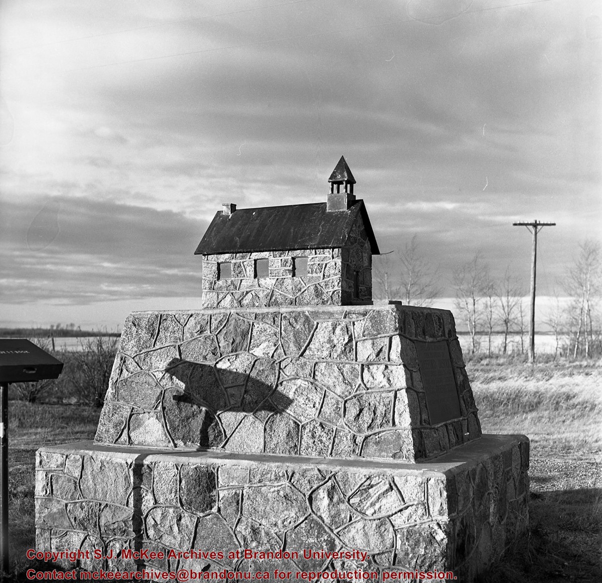
Stuckey's notes: Inscription: Erected in memory of the pioneers of CREEFORD DISTRICT Who built here in 1892 The Old Stone Church KNOX PRESBYTERIAN The Memory of the Just is Blessed 1956.
Custodial History
For custodial history see the collection level description of the Lawrence Stuckey collection.
Scope and Content
Image of CREEFORD church replica, north of Douglas, Manitoba.
Notes
[Brandon NE includes communities north of Trans-Canada #1 highway and east of PTH #10.]
The McKee Archives is the copyright holder of the Stuckey materials.
Storage Location
Lawrence Stuckey collection
Arrangement
[Mr. Stuckey put three negatives and a print in one envelope. We have separated them and numbered the negatives (294a) to (294c) and the print (294a-p)].
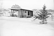
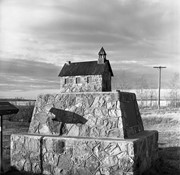
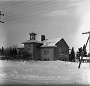
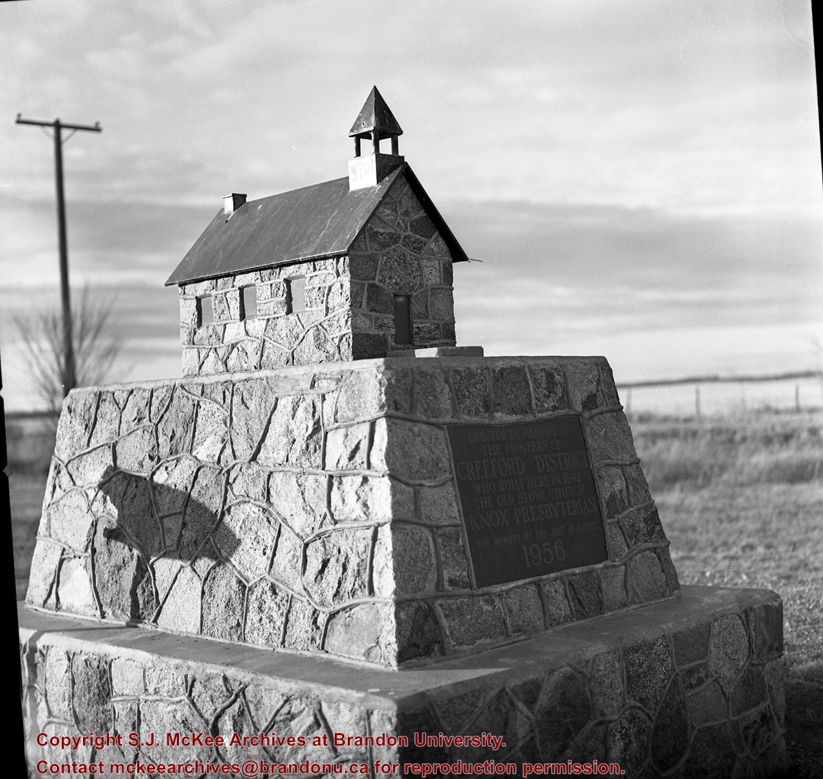


