View is southwest from the north side of Princess Avenue. Photograph shows the north driveway entrance on campus. The original Music Building, the A.E. McKenzie Building, Clark Hall and part of the Brandon College Building are visible.
Photograph is looking northwest from approximately the south entrance of the driveway and shows the Citizens' Science Building, the Brandon College Building and part of Clark Hall, as well as the drive way and part of the front lawn.
See fonds level description of the Alf Fowler collection for custodial history.
Scope and Content
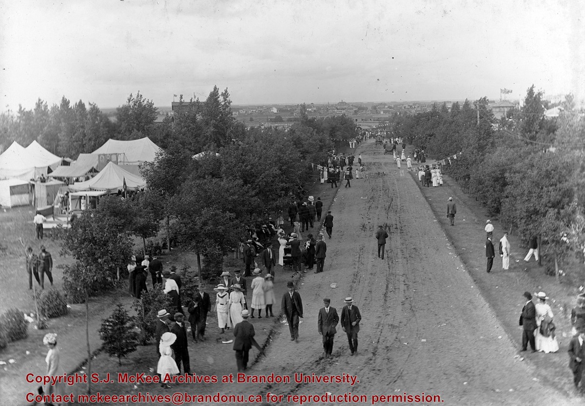
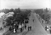
Photo shows the main driveway on the Exhibition grounds (now the Keystone Grounds). A number of men, women and children , as well as some of the Fair tents are visible.
Storage Range
RG 5 Western Manitoba Manuscript collection - photograph storage drawer
View is southwest from approximately 18th Street and Lorne Avenue. Photograph shows the Brandon University campus in winter, including: the Brandon University sign, the John R. Brodie Science Centre, the Citizens' Science Building and McMaster Hall.
View is southwest from the north side of Princess Avenue. Photograph shows the original Music Building, the north driveway entrance and parts of Clark Hall and the Brandon College building.
View is southwest from the sidewalk on the west side of 18th Street. Photograph shows the Brandon University sign, the front lawn, the Citizens' Science Building, McMaster Hall and the John R. Brodie Science Centre.
View is south from the north side of Princess Avenue. Photograph shows the walkway leading south across campus, the original Music Building, the A.E. McKenzie Building, the J.R.C. Evans Lecture Theatre, Flora Cowan Hall and Darrach Hall.
View is southwest from Princess Avenue. Photograph shows the original Music Building, the A.E. McKenzie Building, the J.R.C. Evans Lecture Theatre and Darrach Hall. Also visible are the field where the Western Manitoba Centennial Auditorium now stands, as well as a number of houses on 20th Street.
View is northeast fron the west side of the Dining Hall. Photograph shows portions of the J.R.C. Evans Lecture Theatre and the A.E. McKenzie Building, as well as an H-Hut, Clark Hall, the Brandon College Building and the quadrangle.
View is south from the lawn in front of the Education Building and shows a student exiting the building. The driveway and John R. Brodie Science Centre are visible in the background.
Photograph has a couple of cracks, due to bending.
Scope and Content
View is northwest from the front lawn. Photograph shows the Brandon College Building, Clark Hall, the parking lot in front of those two buildings and the Education building.
See fonds level of the CKX records for custodial history.
Scope and Content
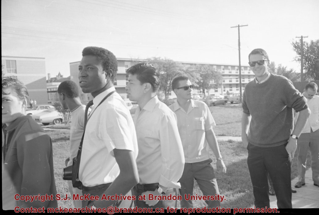
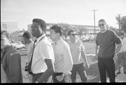
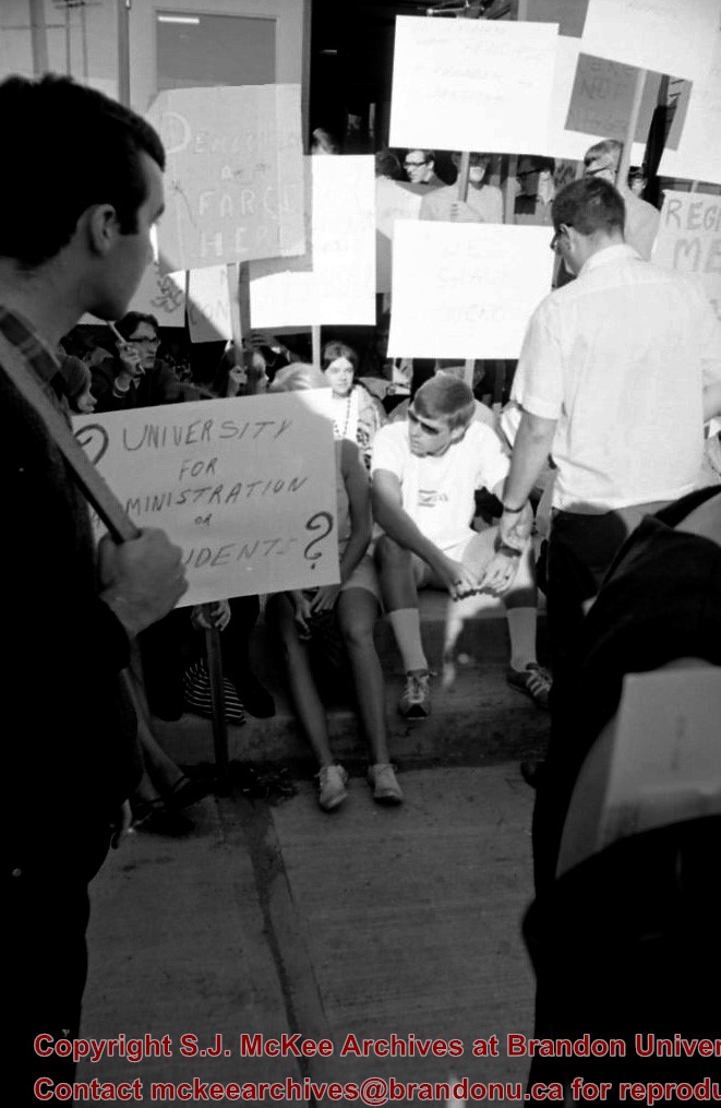
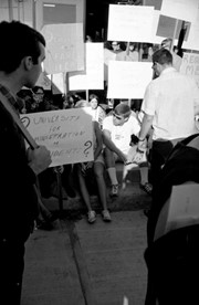
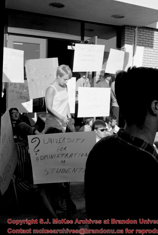
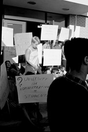
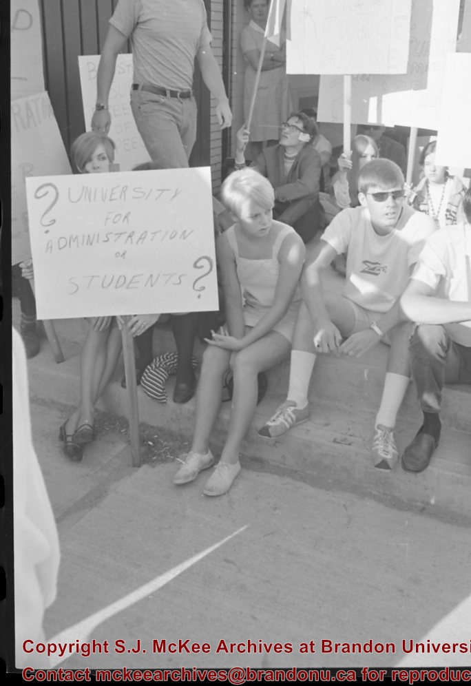
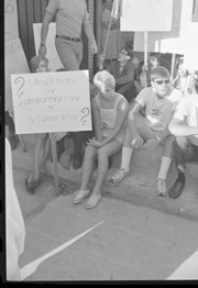
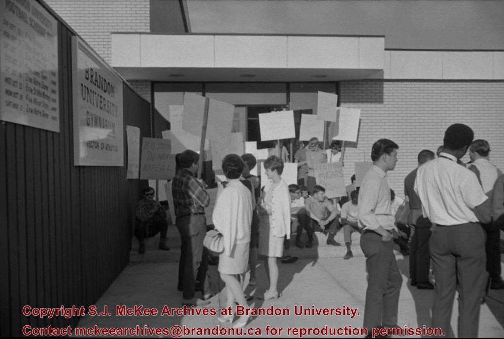
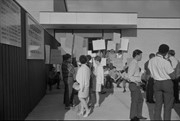
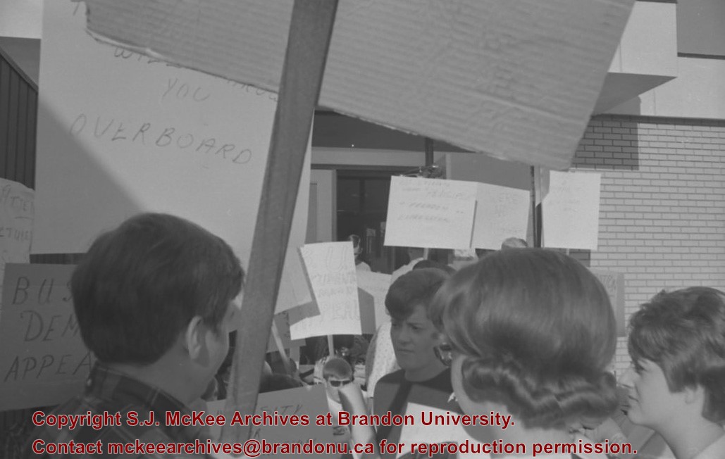
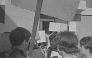
Image of protesters outside the Gymnasium taken during the Brandon University rampage. Darrach Hall and Flora Cowan Hall are visible in the background.


