See MG 1 Brandon College Teaching and Administration, 1.11 Martin Johns fonds for custodial history.
Scope and Content
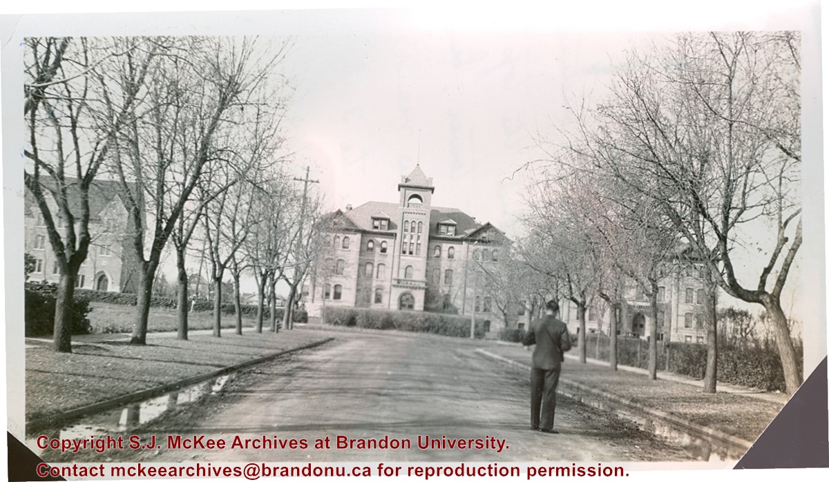
Photograph is looking west down Lorne Avenue towards the Brandon College Building. Clark Hall and the Citzens' Science Building are visible through the trees.
Notes
Writing on the back of the photo reads: "Brandon College from 16th Street and Lorne Ave. Looking up Lorne Ave (i.e. looking west). Laurie is in the foreground taking a picture. My room is behind the top 3 windows of the tower. Laurie's directly below me and Dalton's are the 3 at the extreme right on the same floor. Science building is at the left." Laurie may be a reference to Lawrence H. Cragg who taught Chemistry at Brandon College from 1937-1943. Dalton refers to W.H. Dalton Vernon who taught Philosophy and Psychology at Brandon College from 1938-1940.
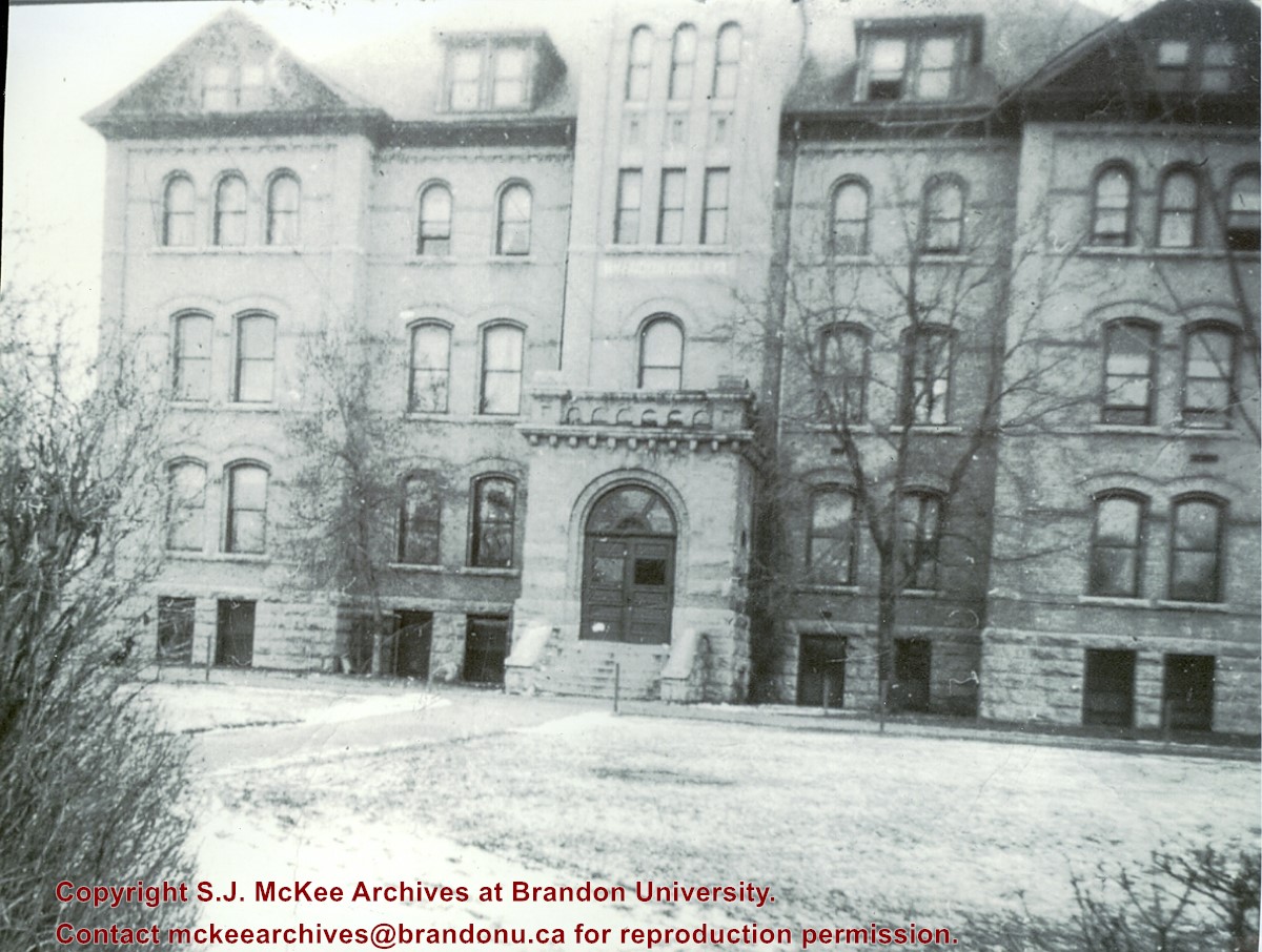
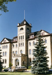
View is southwest from the sidewalk in front of the building. Photograph shows the east side of the section of the building that connects the Brandon College Building and Clark Hall.
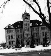
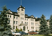
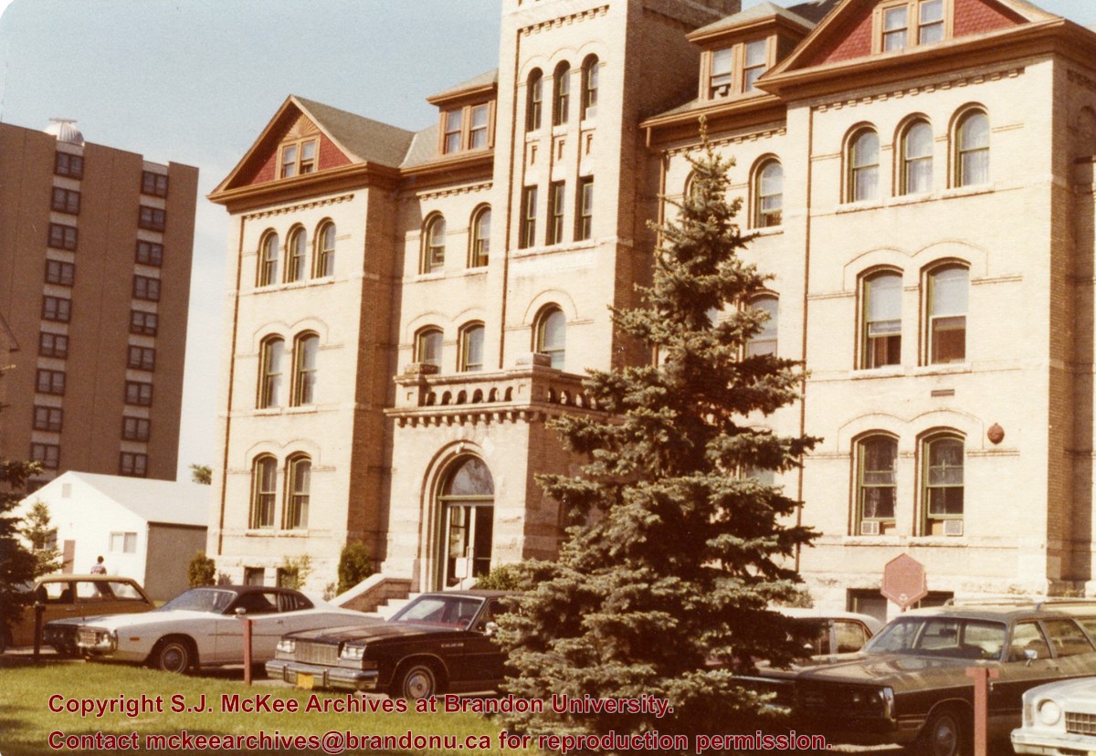
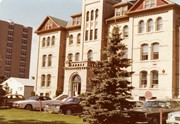
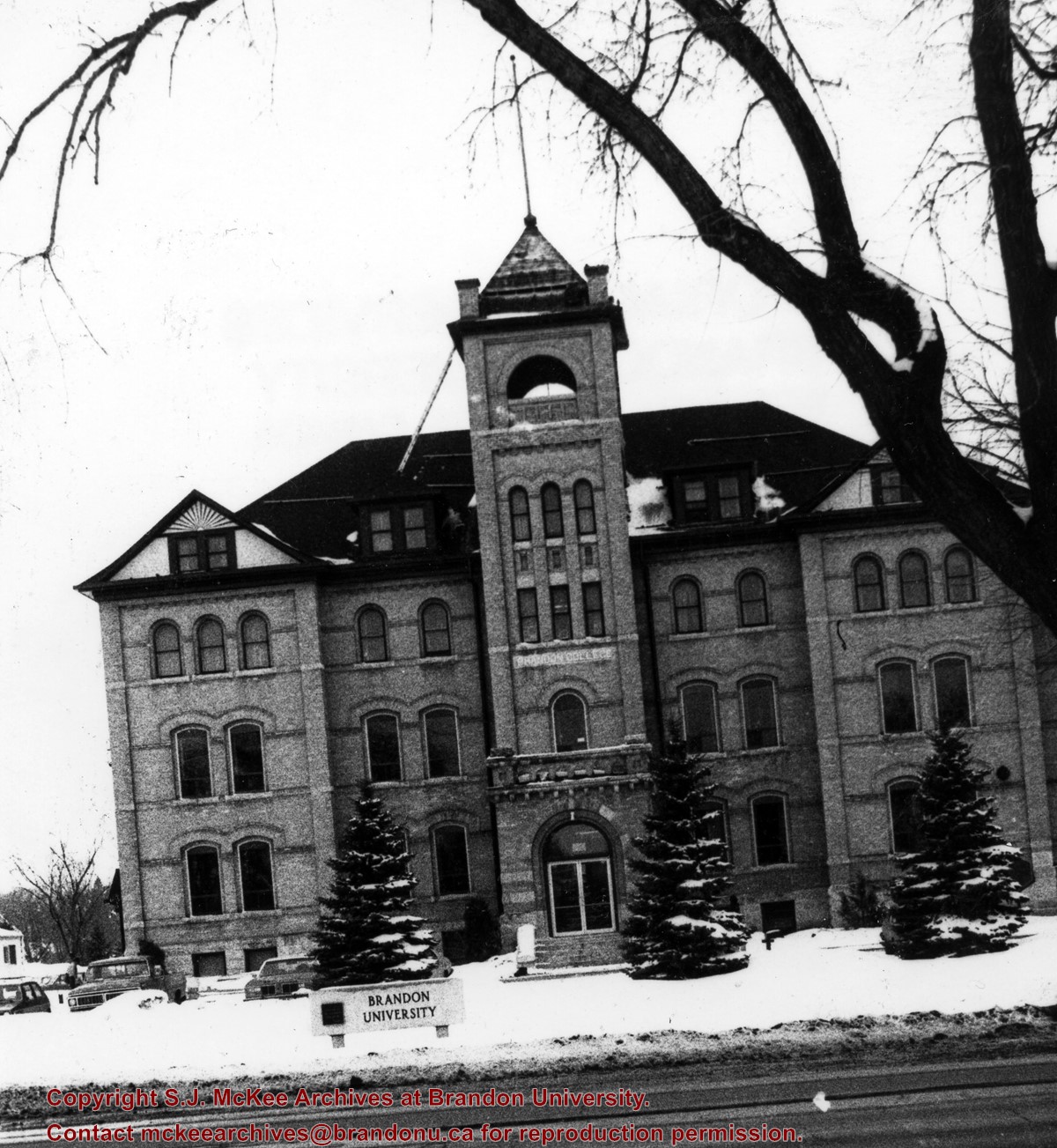
View is southwest from the front lawn. Photograph shows the Brandon College Buildings and a number of cars parked in front of it. An H-Hut and McMaster Hall are visible in the background.
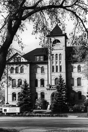
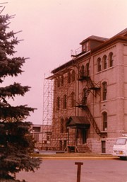
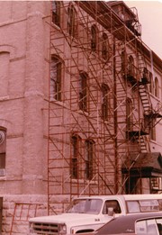
View is northwest from the front lawn. Photograph shows the south side of the Brandon College Building, including scaffolding. J.R.C. Evans Lecture Theatre in the background.
View is southwest from approximatley 16th Street between Princess and Rosser Avenues. Photograph shows the Brandon University campus, as well as surrounding residential blocks, including Flemming, J.R. Reid and Vincent Massey schools.
View is west southwest from approximatley 16th Street between Princess and Lorne Avenues. Photograph shows the Brandon University campus, as well as surrounding residential blocks between 16th and 23rd Streets, Princess and Louise Avenues..
View is west from approximatley 17th Street between Lorne and Louise Avenues. Photograph shows a portion of the Brandon University campus (excluding the Education Building and anything north of it), as well as surrounding residential blocks from approximatley 17th Street to 22nd Street.
View is west northwest from approximatley 16th Street and Louise Avenue. Photograph shows the Brandon University campus, prior to the Library Extension, and a large portion of the city to the west of the campus.
View is northwest from approximatley 16th Street and Louise Avenue. Photograph shows the Brandon University campus, prior to the Library Extension, and a large portion of the city to the west of the campus.
Photograph shows a backhoe digging a sewer hole near the sidewalk between the Brandon College Building and the Citizens' Science Building. The Knowles-Douglas Students' Union Centre, John R. Brodie Science Centre and a portion of the driveway are visible in the background.


