Photograph of the northeast corner of 10th Street and Princess Avenue facing northeast. An Imperial Esso Dealer is situated on the southeast corner. On the northeast side the following businesses are visible: Thunderbird Bowl, Canadian Pacific Telegraphs, Pittsburgh Paint & Glass, The Strand Theatre, Trans Canada Credit Loans, Ted Heming Jewellers, Carlton Cafe, Barclay Shoe Store, Chamber of Commerce, United Cafe, and Chop Suey. An billboard for 2 Way drink is mounted on the former Campbell's Furniture Building. A sign for the Manitoba CAA Motor League hangs from a business on the southwest corner of 10th Street and Princess Avenue. Traffic on Princess Avenue, on the east side of 10th Street, is travelling one-way.
Photograph shows an eastern view of the hospital grounds, including the 1922 hospital building.
Notes
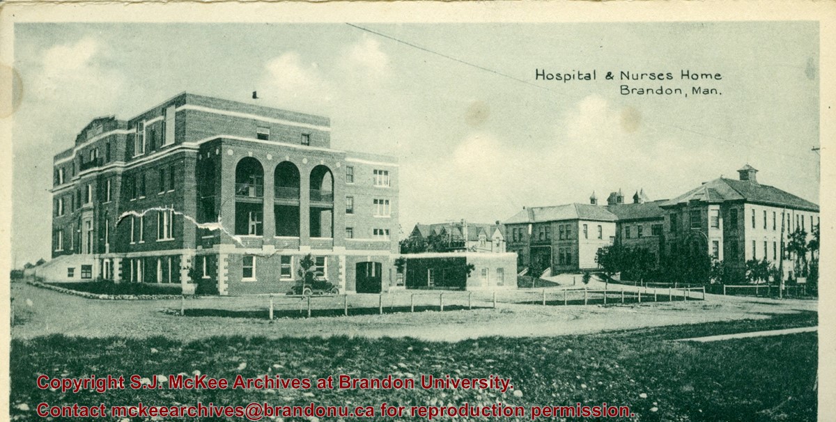
Part of "Souvenir of Brandon, Manitoba, Canada [viewbook], Printed by Photogelatine Engraving Co. Limited, Ottawa." Dates obtained from the Burchill's Music Store Henderson's Brandon City Directory listings (1927-1929). Writing on the front of the photograph reads: Hospital & Nurses Home, Brandon, Man.
Photograph shows the Red Indian (Gasoline) Station on the north side Princess Avenue between 9th and 10th Streets, Brandon. Attached to the west side of the gas station is another shop which contains Hutchings' Drug Store. The Alexandra Block on 10th Street is visible in the background.
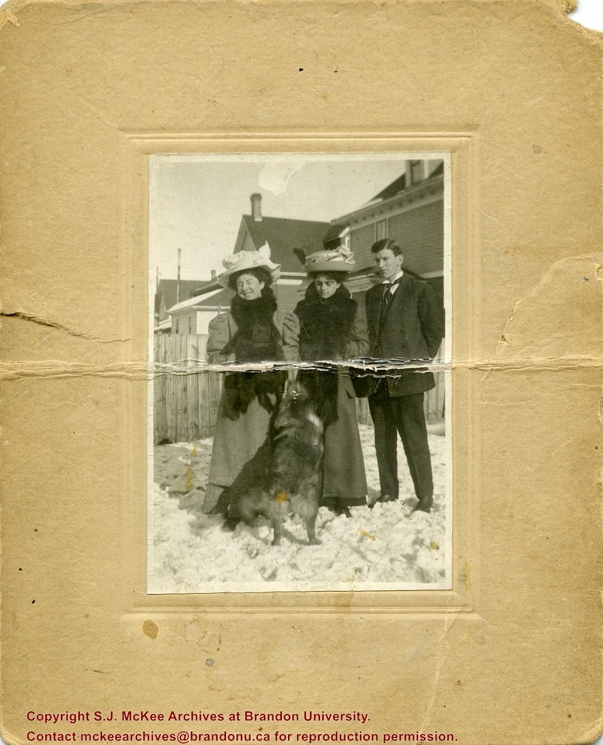
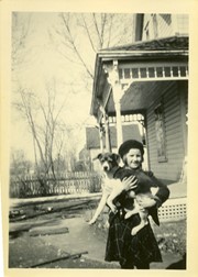
Photograph shows two women, a man, and dog, standing in a residential backyard during the winter. The women are wearing large hats and fur stoles. The woman standing in the middle is likely Isabella Louisa McGuinness (nee Pope), mother to Brandon Sun editor Fred McGuinness.
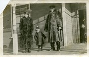
Photograph shows a man, woman, and small child standing on a front porch. The man and woman are wearing heavy fur coats.
Notes
Writing on the back of the photograph reads: "Mr. and Mrs. J.B. Darroch and their son Stuart, visiting the Brandon Winter Fair from Carievale, Saskatchewan.
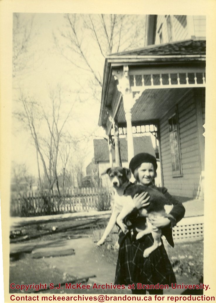
Fred McGuinness is popularly known for his work as the prairie essayist for CBC Radio’s Morningside with Peter Gzowski, a position he held for 17 years. Many of McGuinness’ Morningside essays were autobiographical in nature. He often reported about life on Christmas Tree Farm, a section of land where he and his wife, Christine, built their dream home in the late 1970s. The couple planted a Christmas tree farm on the property and Christine maintained an extensive kitchen garden, while Fred tended honey bees. Life on the farm made its way into radiobroadcasts, Neighborly News columns, and the book "Letters from Section 17: A Collection of Morningside Essays" (Winnipeg: Great Plains Publishing, 1999).
Scope and Content
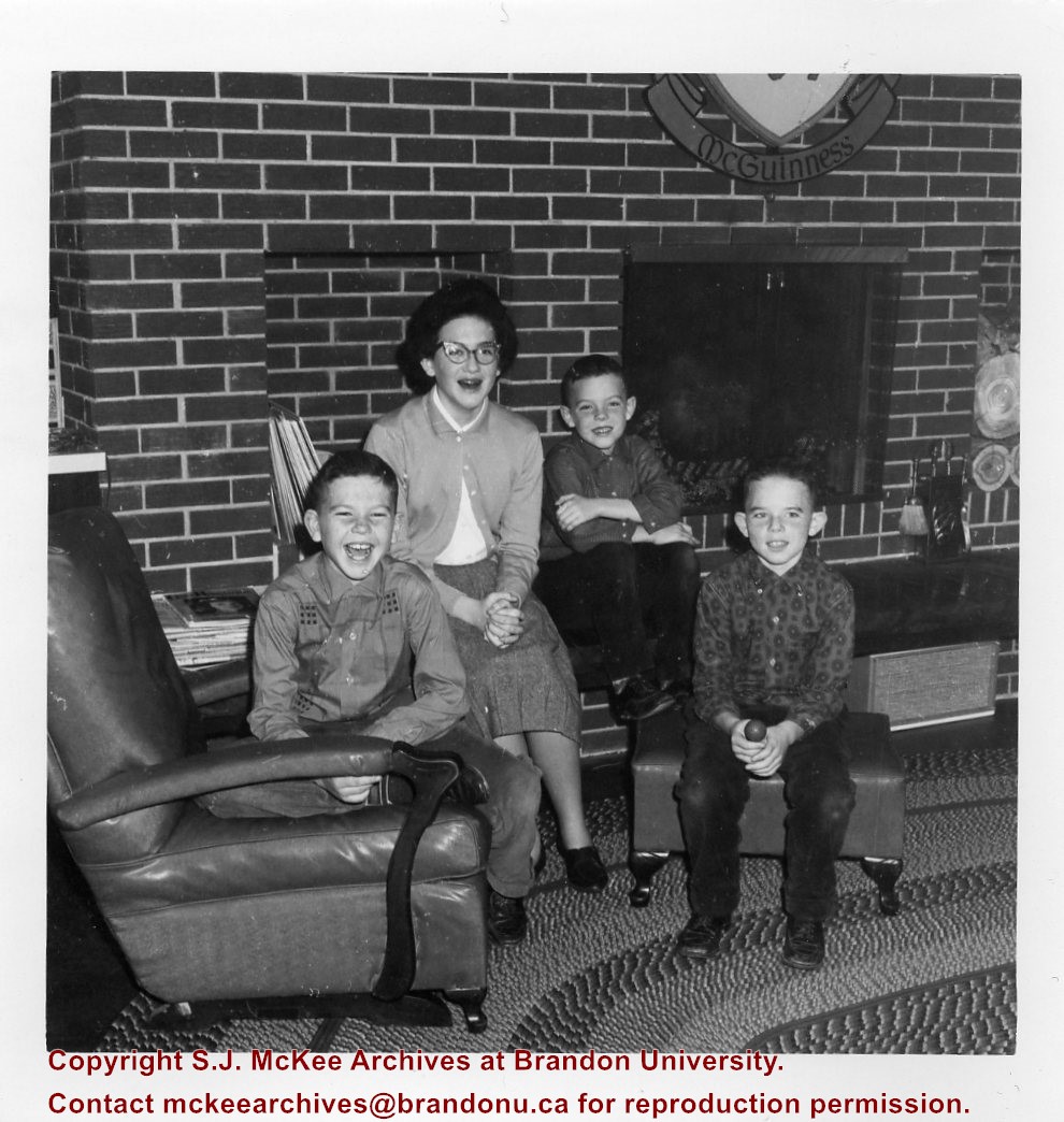
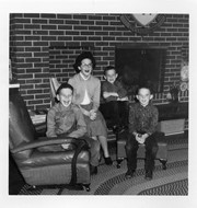
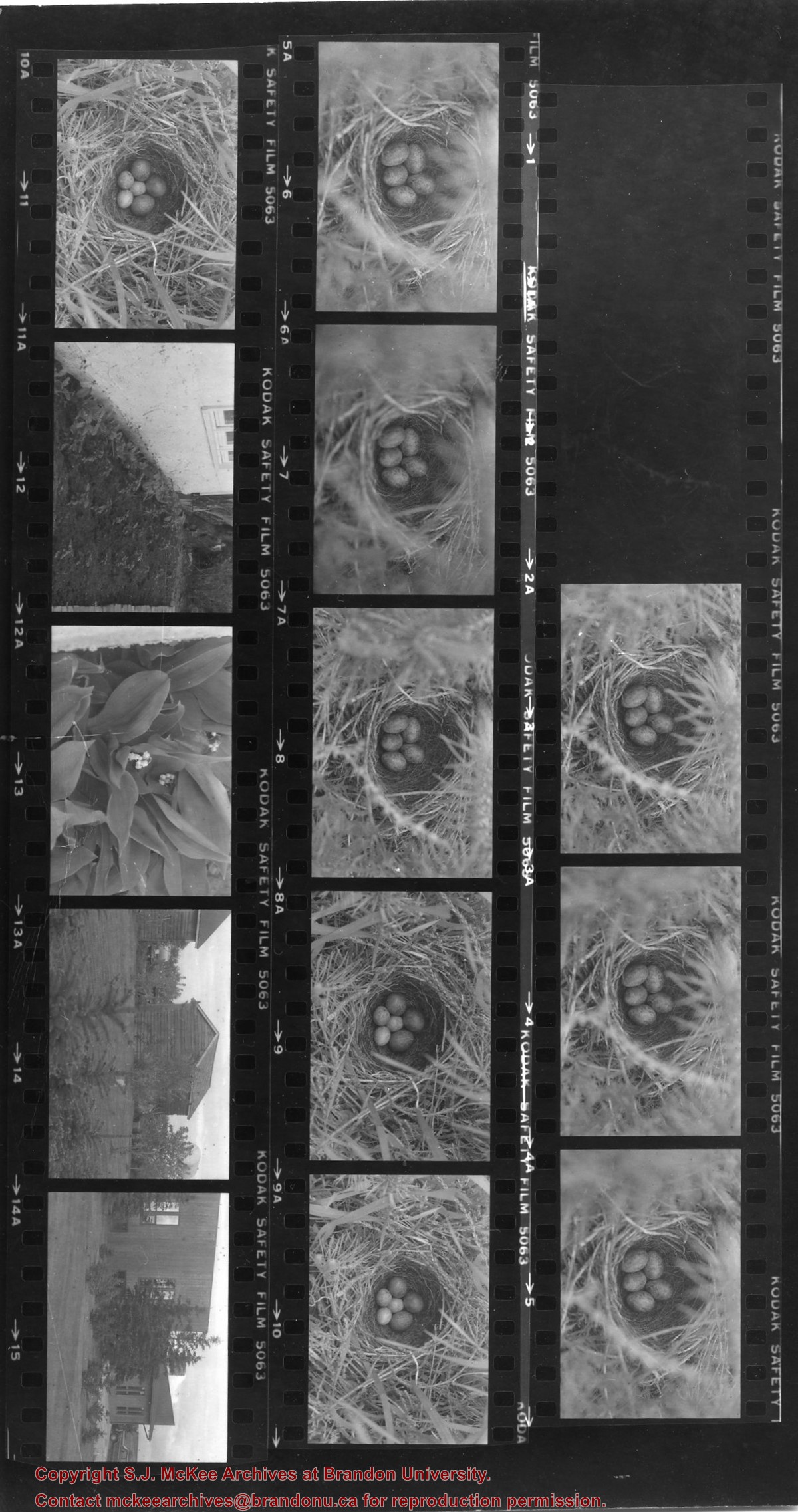
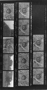
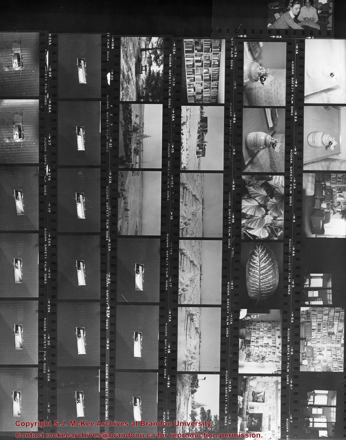
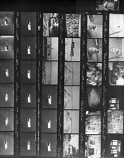
Contact sheet shows scenes from Christmas Tree Farm including: honey jars, the McGuinness personal library, home, and planted trees
Fred McGuinness is popularly known for his work as the prairie essayist for CBC Radio’s Morningside with Peter Gzowski, a position he held for 17 years. Many of McGuinness’ Morningside essays were autobiographical in nature. He often reported about life on Christmas Tree Farm, a section of land where he and his wife, Christine, built their dream home in the late 1970s. The couple planted a Christmas tree farm on the property and Christine maintained an extensive kitchen garden, while Fred tended honey bees. Life on the farm made its way into radiobroadcasts, Neighborly News columns, and the book "Letters from Section 17: A Collection of Morningside Essays" (Winnipeg: Great Plains Publishing, 1999).
Scope and Content
Set consists of 27 negatives showing different views of the McGuinness property, Christmas Tree Farm, Section 17
Brandon College looking south from 19th Street. Photograph was taken after Flora Cowan Hall was built but before construction of the Education Building.
View is northeast probably from the roof of McMaster Hall. Photograph shows the construction of the new roof on Clark Hall and the Brandon College Building. A portion of the east side of the 000 and 100 blocks of 18th Street, as well as the corner of 18th Street and Rosser Avenue are visible in the upper left hand corner. This includes the "Downtown Brandon" sign.
View is north northeast probably from the roof of McMaster Hall. Photograph shows the construction of the new roof on Clark Hall and the Brandon College Building, as well as the construction of the extension to Clark Hall and the skywalk. Portions of the city as far north as the Assiniboine River are also visible.
View is north northeast from the roof of McMaster Hall. Photograph shows the campus under construction during the renovation of the Brandon College Building and Clark Hall. The photograph was taken in late fall after the roof had been removed from the buildings but before the construction of the extension of Clark Hall. Construction materials litter the courtyard and driveway. The view looking north extends to The North Hill - a number of residential blocks, particularly to the northeast of 18th Street are visible. Buildings include the International Harvester Building and Kin Village.
View is north northeast probably from the roof of McMaster Hall. Photograph shows the construction of the new roof on Clark Hall and the Brandon College Building, as well as the construction of the extension to Clark Hall and the skywalk. The view looking north extends to The North Hill - a number of residential blocks, particularly to the northeast of 18th Street are visible. Buildings include the International Harvester Building and Kin Village.
Photograph shows the west side of the 200-block on 10th Street. Visible businesses include: Chamber of Commerce Tourist Information, Dominion Tire & Radio Co., Bonnie's Bonnet Shop, Steve's Grill, Wally's Taxi, and Western Motors Ltd. The painted advertisement for Doig, Rankin and Robertson is visible on the Alexandra Block. Christmas ornaments are displayed from light standards and include Santa Claus and a Christmas elf.
The Medicine Hat Exhibition and Stampede Parade Day was held on Thursday, July 19, 1962, at 9:30 a.m. The local newspaper reported that approximately 24,000 people were in attendance to see parade marshall Rod Ashburner leading 175 entries consisting of 90 floats, 75 horses, and 10 bands. There were 19 parade categories eligible for $12,000 in prize money and included: junior and senior cowboys and cowgirls; fancy and Shetland ponies; sulky class open; comic, commercial, industrial and organizational floats; decorated cars; special ranch class; 4-H Clubs; and a non-competitive class.
The parade route started at Second St. and Allowance Ave., from Second St. to Ash Ave., north on Ash to First St. SE., from First St. S.E. to Fourth Ave., south to Second St. to South Railway St., south on South Railway St. to Third St., with a finish at McLeod Trail. A route map was published in the Medicine Hat News the day before the parade.
Aerial photographs of the parade were taken by Medicine Hat News photographer Howard Heid (1930-2005) from the private helicopter of John Bourn. Bourn was a pilot from Woodville, Wisconsin, who chartered his four-seater helicopter for sight-seers at exhibitions and stampedes across the county.
(Sources: Pat Currie, "Let 'Er Go!," Medicine Hat News, 19 July 1962,1; Harald Gunderson, "'Eye in the Sky' Best Parade View," Medicine Hat News, 19 July 1962,1; "Parade Starts at 9:30 Sharp," 18 July 1962)
Scope and Content
Photograph shows an aerial view of the Medicine Hat Exhibition and Stampede Parade route, with a focus on Second Street SE. Visible store signs include: China Wonderland, Grey Cup Cafe, Lane Bros. & Gibson Ltd., Joy's, Marshall's, Monarch, Gardener's Used Cars, Provincial Treasury Branch, Furvey's Furniture and Appliances, J.J. Moore & Son, Club Cafe, Black Hardware Ltd., Regency Billards, and Sair's Shoe Hospital.
The Medicine Hat Exhibition and Stampede Parade Day was held on Thursday, July 19, 1962, at 9:30 a.m. The local newspaper reported that approximately 24,000 people were in attendance to see parade marshall Rod Ashburner leading 175 entries consisting of 90 floats, 75 horses, and 10 bands. There were 19 parade categories eligible for $12,000 in prize money and included: junior and senior cowboys and cowgirls; fancy and Shetland ponies; sulky class open; comic, commercial, industrial and organizational floats; decorated cars; special ranch class; 4-H Clubs; and a non-competitive class.
The parade route started at Second St. and Allowance Ave., from Second St. to Ash Ave., north on Ash to First St. SE., from First St. S.E. to Fourth Ave., south to Second St. to South Railway St., south on South Railway St. to Third St., with a finish at McLeod Trail. A route map was published in the Medicine Hat News the day before the parade.
Aerial photographs of the parade were taken by Medicine Hat News photographer Howard Heid (1930-2005) from the private helicopter of John Bourn. Bourn was a pilot from Woodville, Wisconsin, who chartered his four-seater helicopter for sight-seers at exhibitions and stampedes across the county.
(Sources: Pat Currie, "Let 'Er Go!," Medicine Hat News, 19 July 1962,1; Harald Gunderson, "'Eye in the Sky' Best Parade View," Medicine Hat News, 19 July 1962,1; "Parade Starts at 9:30 Sharp," 18 July 1962)
Scope and Content
Photograph shows an aerial view of the Medicine Hat Exhibition and Stampede Parade route, with a focus on the First Street SE and North Railway Street merge.
Notes
This photograph appeared on the front page of The Medicine Hat News (19 July 1962).
For custodial history see the collection level description of the Lawrence Stuckey collection.
Scope and Content
West side of Sixth Street, north of Rosser Avenue; looking north
Notes
Businesses displayed (S to N) include: Winter & O'Neill - general store; James A. Smart - hardware; Grand Central Hotel - built 1882, razed 1890; American House - hotel; Brandon House (far end) - hotel


+north+side+Princess+Avenue+between+9th+Street+and+10th+Street%2c+Brandon%2c+Manitoba)
)